PALM TREE PRODUCTIONS
back to hikes and climbs back to Locations and Travel
Churches of Armenia![]()
Summary: Armenia is considered to be the first Christian country. According to tradition, between 40 and 60 A.D., the apostles Bartholomew and Thaddeus traveled to the region bringing the Christian faith. In 301 AD King Trdat accepted Christianity as the country's religion, before Constantine declared christianity as the state religion for Rome.
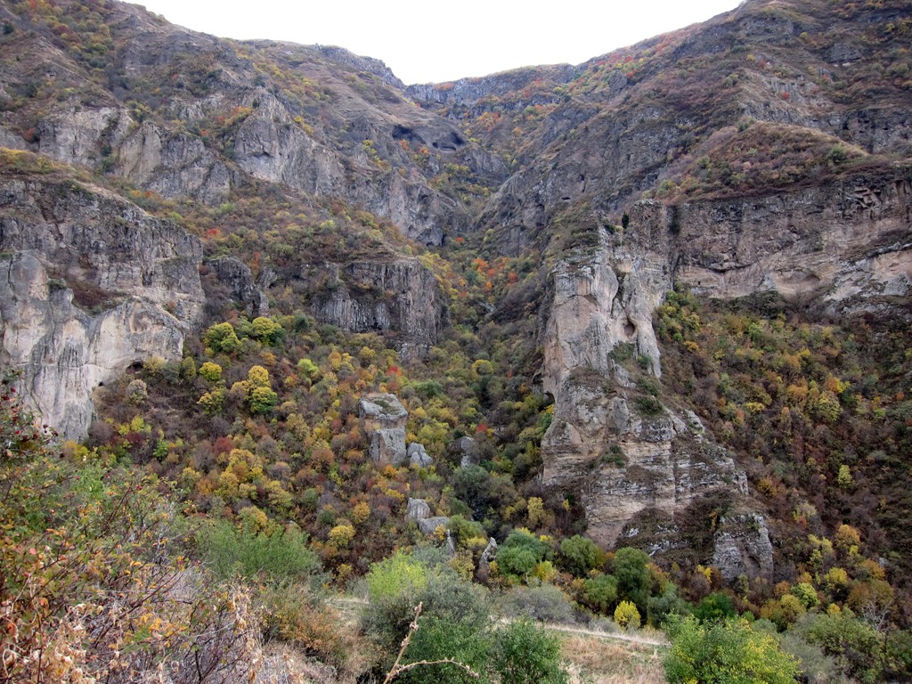
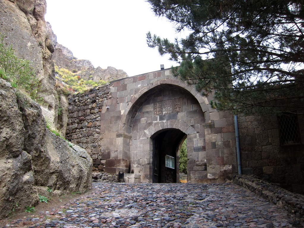
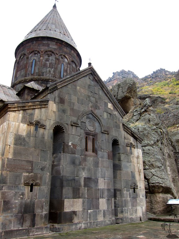
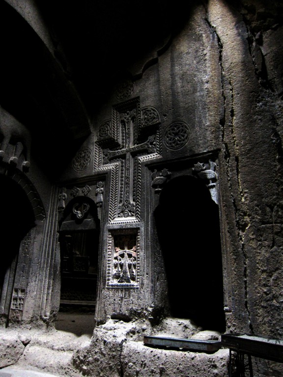
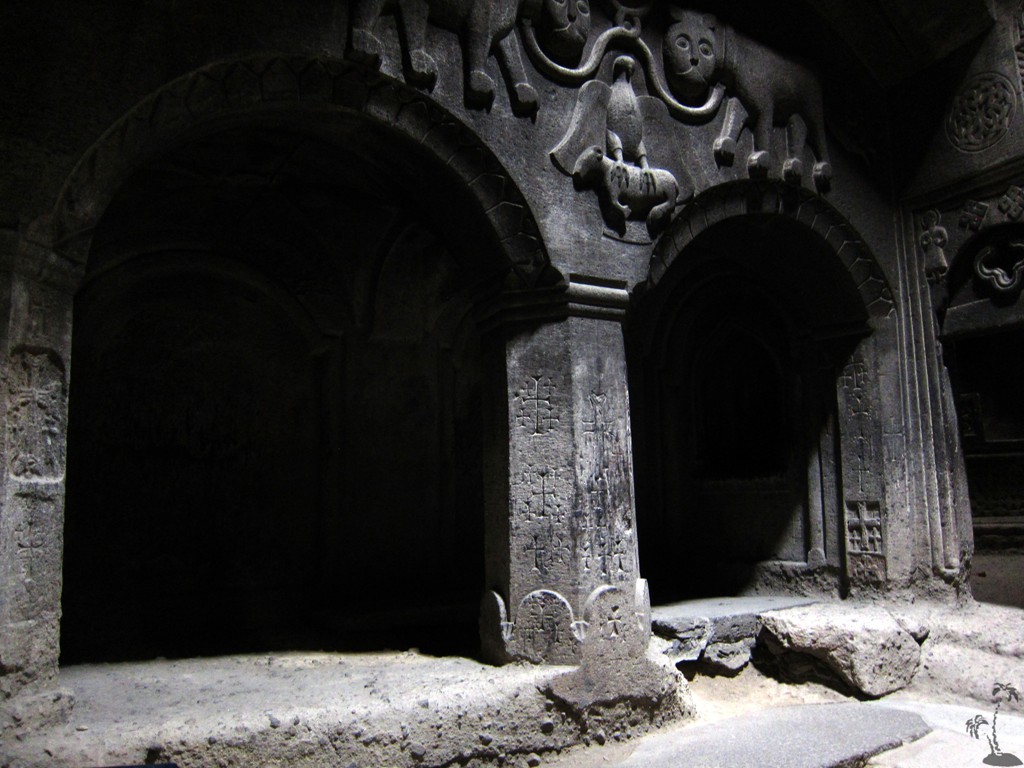
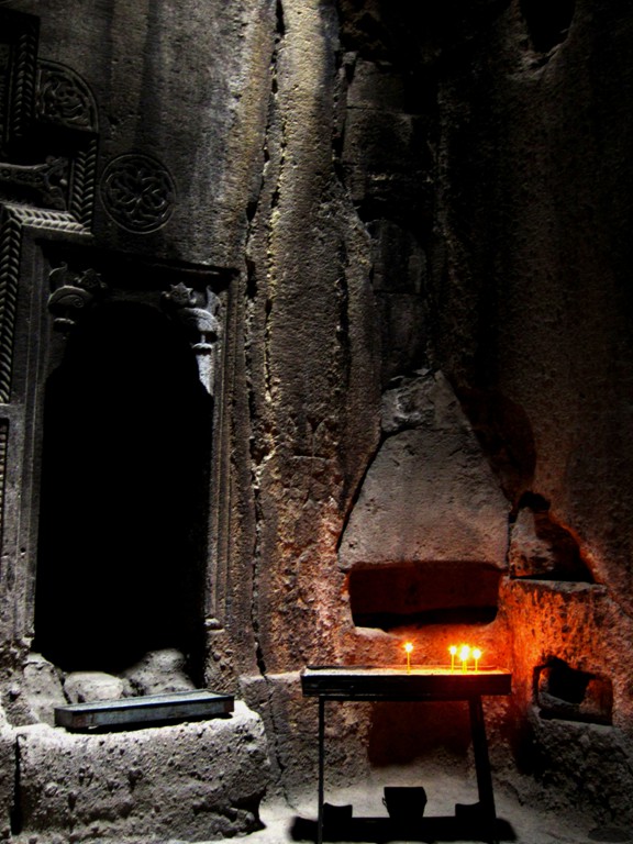
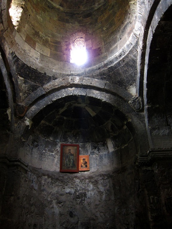
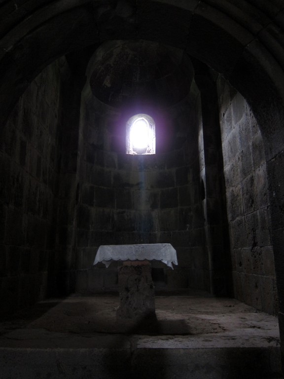
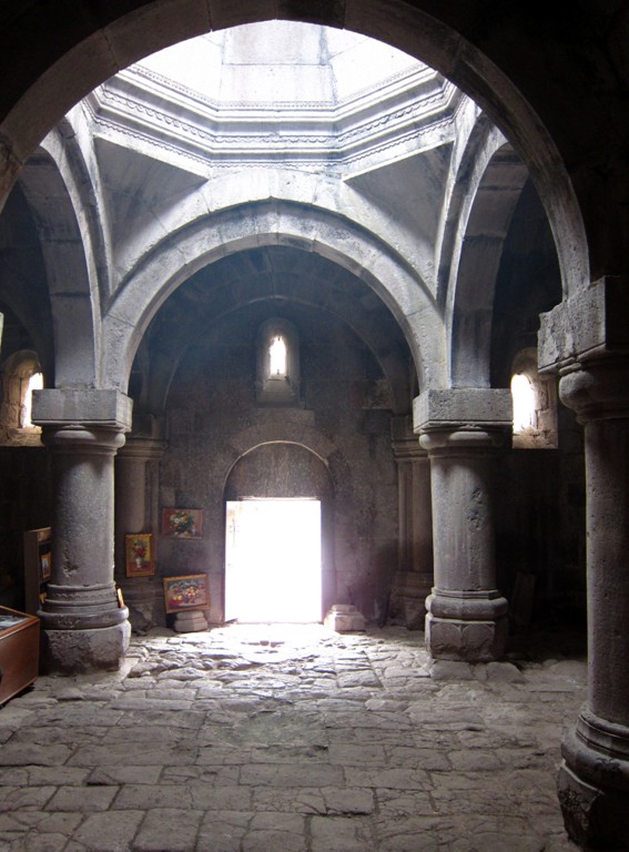
Geghard Monastery originates from this 4th century AD and has been rebuilt and extended through the centuries, now a UNESCO World heritage site. It is an impressive complex of churches, chapels and (partly accessible) rock cave cells. Floor plan and signs in English are useful, but orientation takes time. A guided tour might include a choir chanting in the inner-most church with its incomparable echo or the lucky visitor may just chance upon it. Click on the image below to hear the choir singing. Geghard Monastry can be visited in a half-day trip from Yerevan.
%20small.jpg)
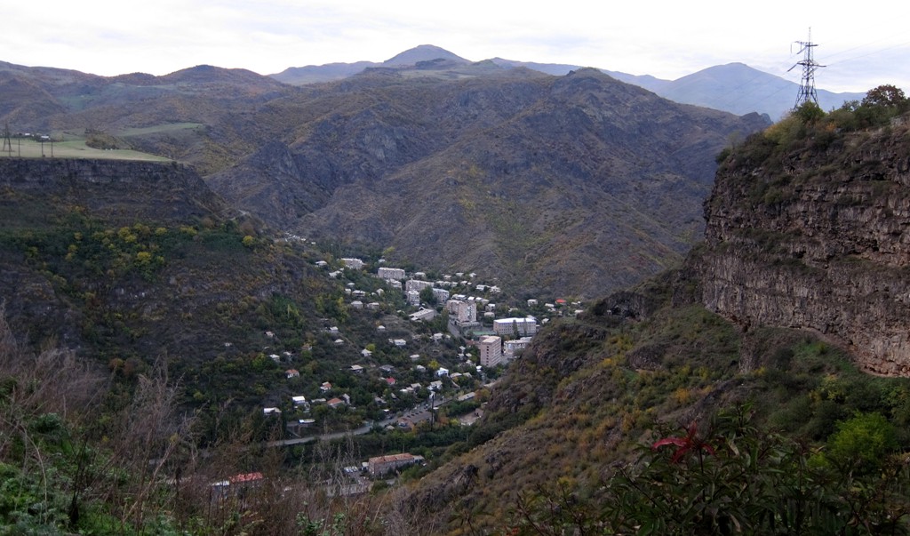
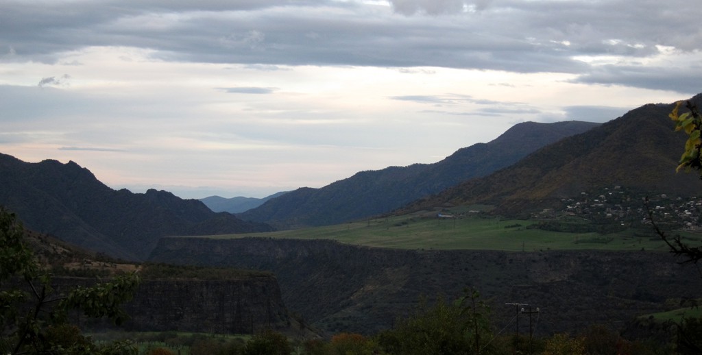
As we had only two more days for exploration, we chose a loop trip starting from Dilian. A town surrounded by a national park it offers diverse accommodation and easy access to a string of ancient monasteries of great fame and beauty.
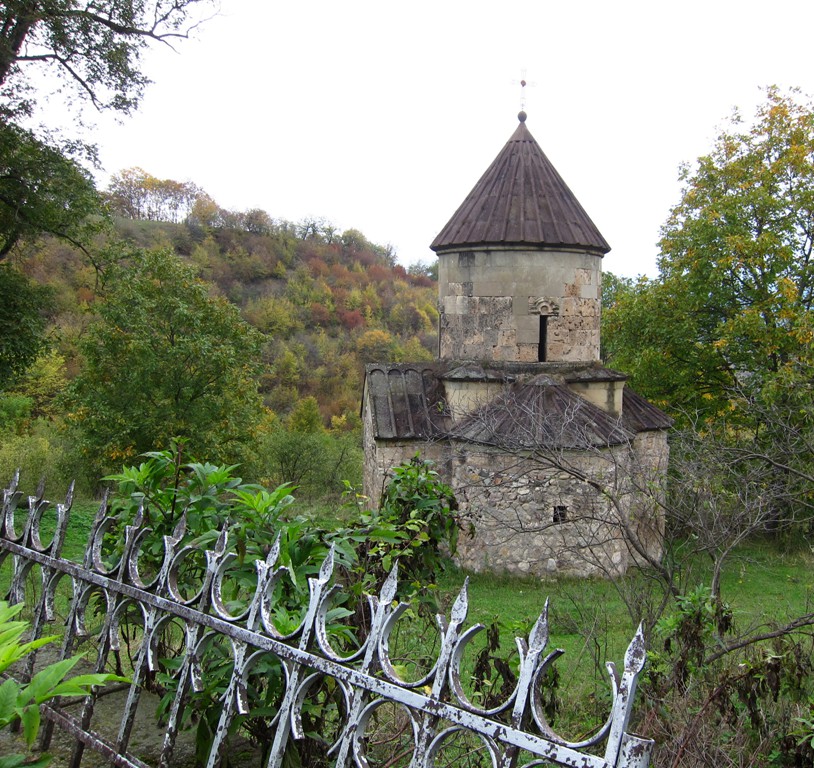
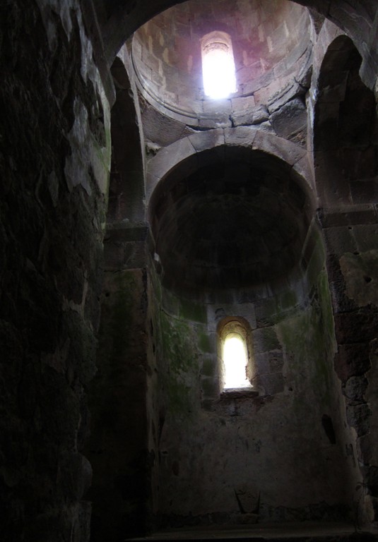
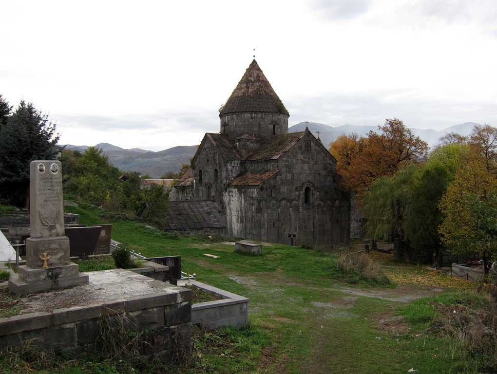
Off any beaten track is the small church of Moro-Dzor or better known as Tsrviz, north of Iljevan. Sporadic sign posts to the village of Lusahovit help to find the well hidden church in an orchard on the valley's bottom. Follow the track indicated below for Tsrvis and Svregh.
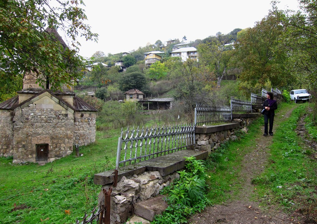
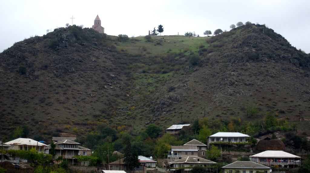
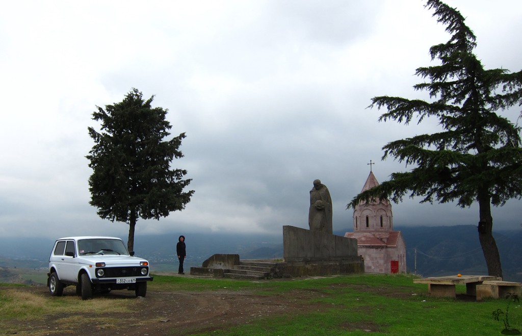
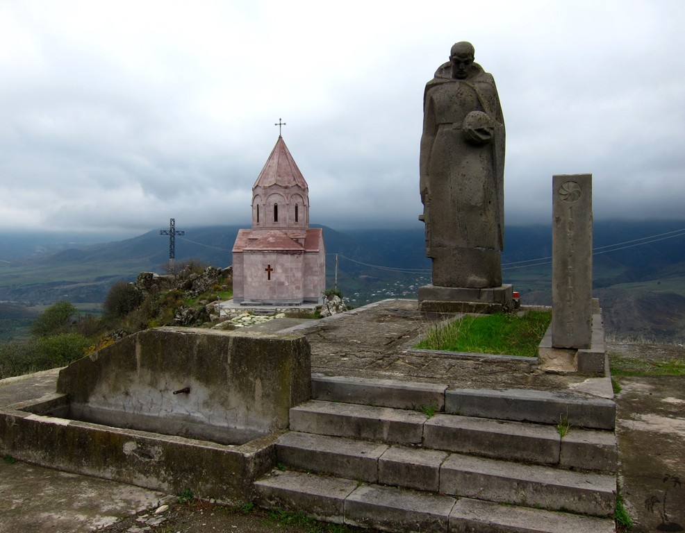
A renovated church of similar architecture Srvegh stands like a landmark on the northern hill slope belonging to the village of Aygehovit. The contrast between their positions is marked.
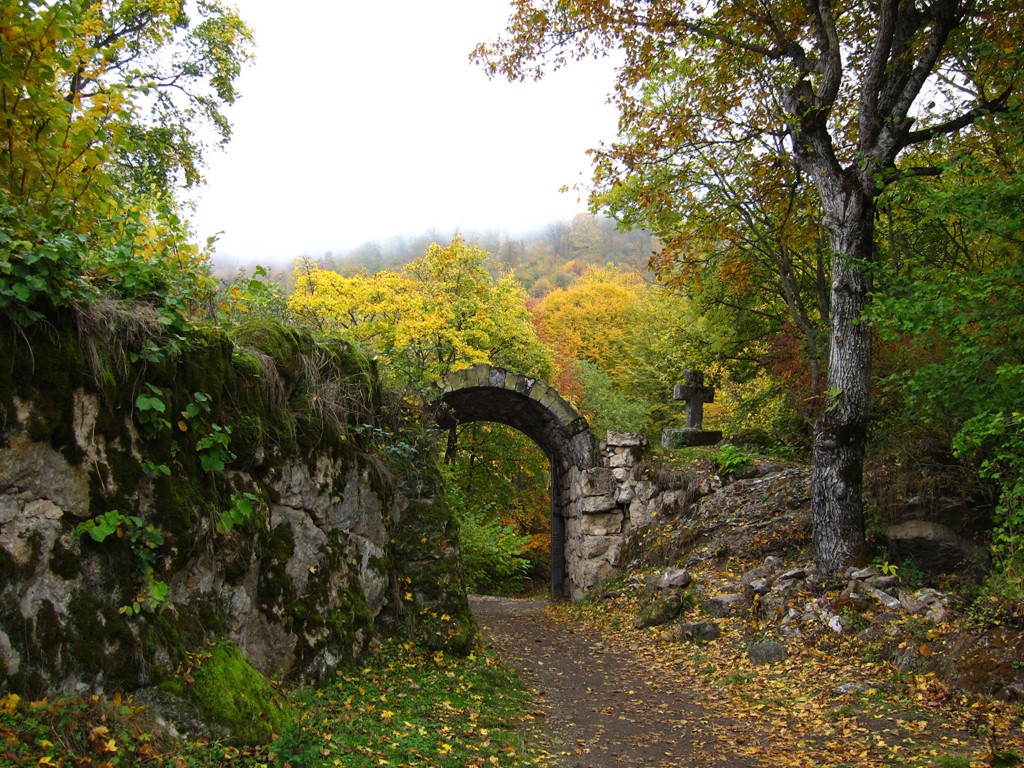
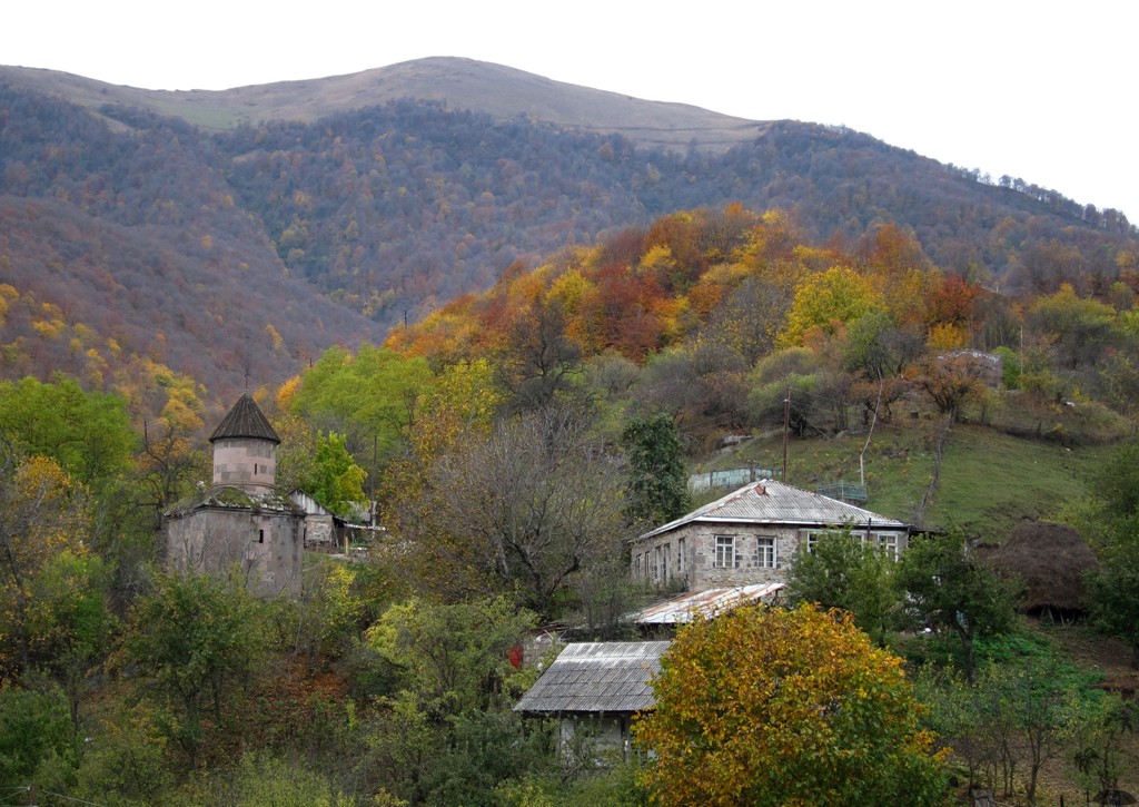
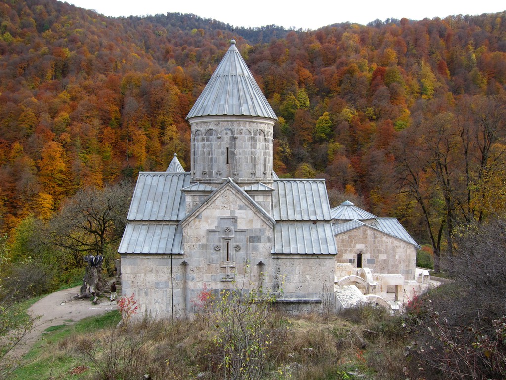
Makaravank deserves praise for the loveliest position in a dense forest. An improved road allows visitors to come up to the entrance and make use of a picnic area nearby.
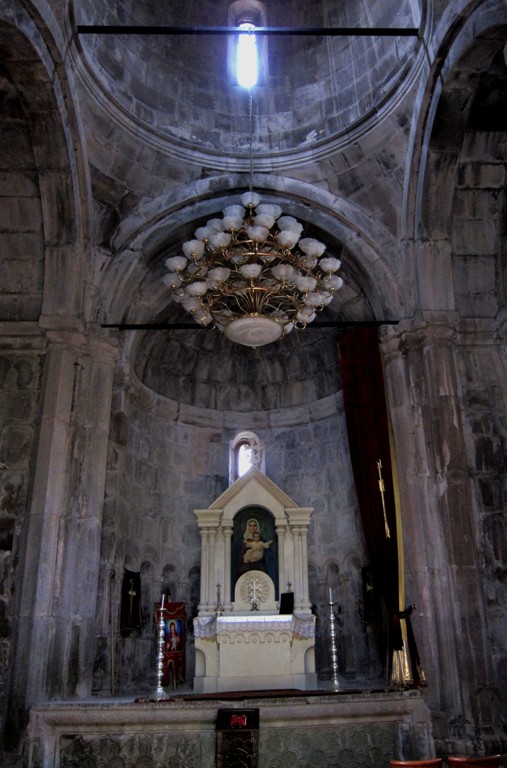
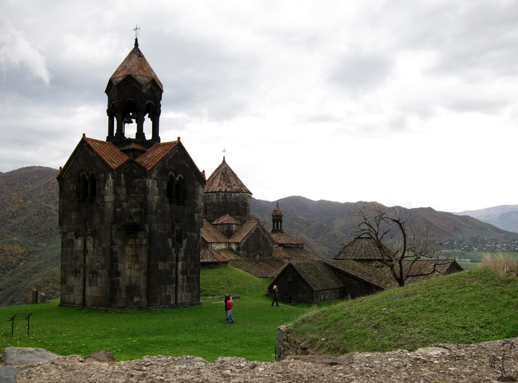
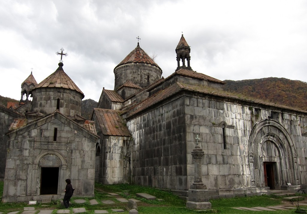
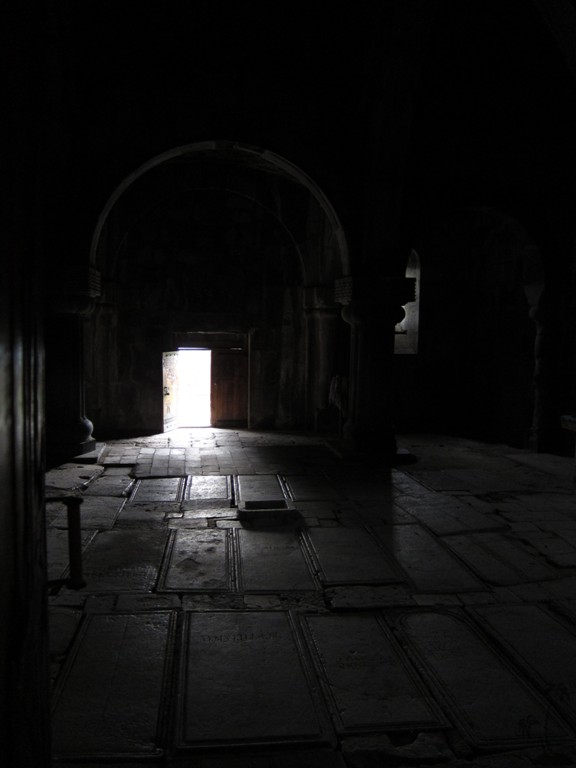
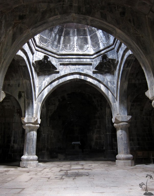
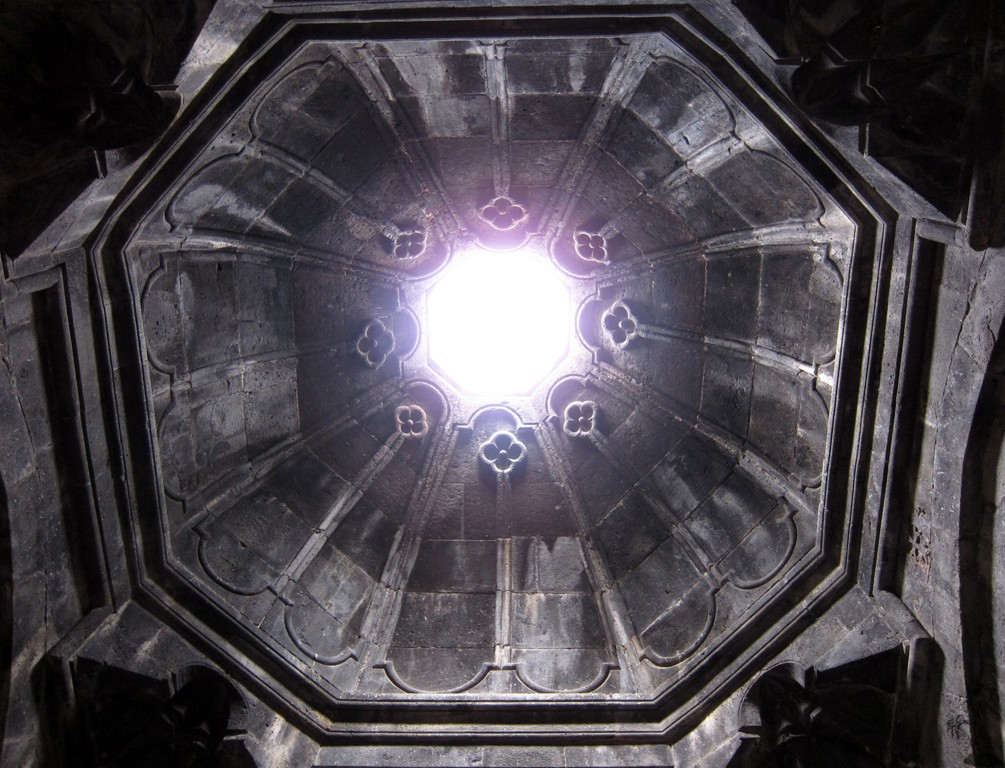
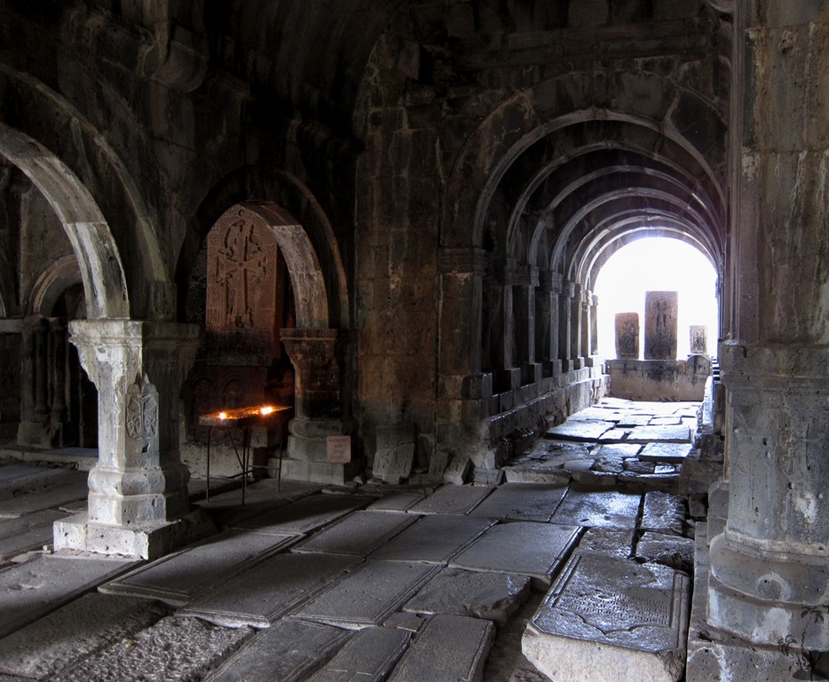
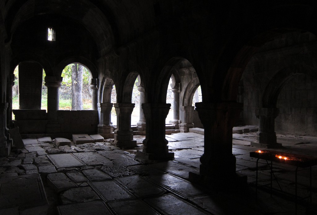
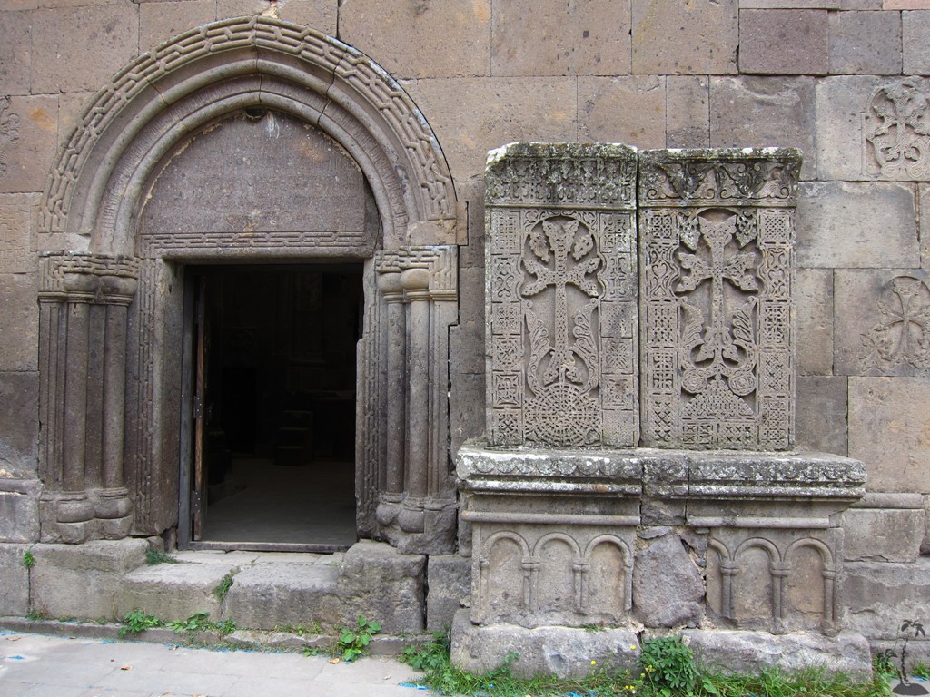
Haghpat and Sanadin were the two first Armenian monasteries to be accepted in the UNESCO list of cultural world heritage. They can be seen from each other's high view points along the Debed Gorge above Alaverdi. Both were built starting in the 10th century and extended through the 13th century.
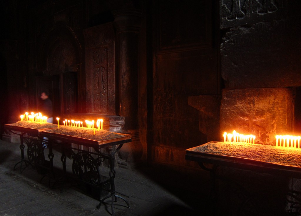
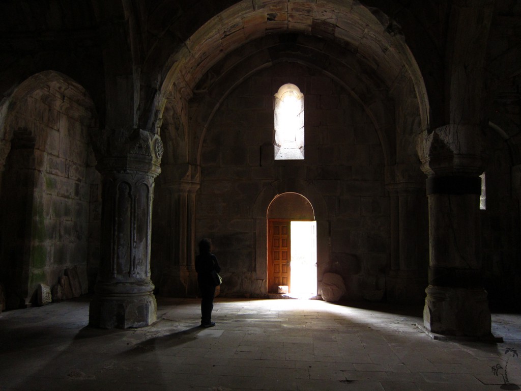
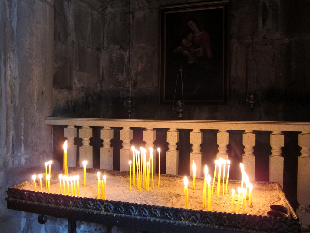
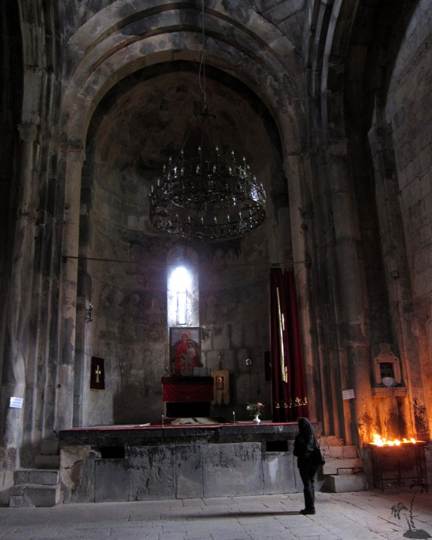
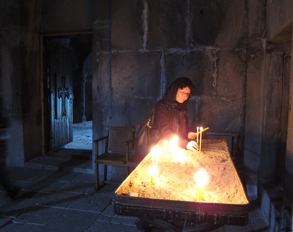
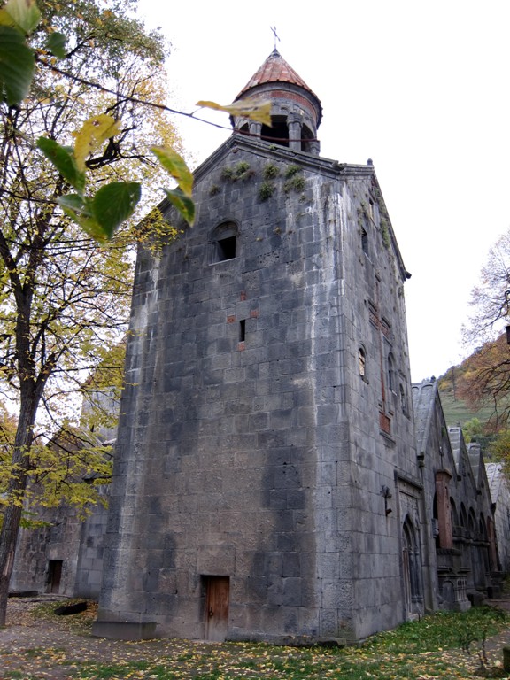
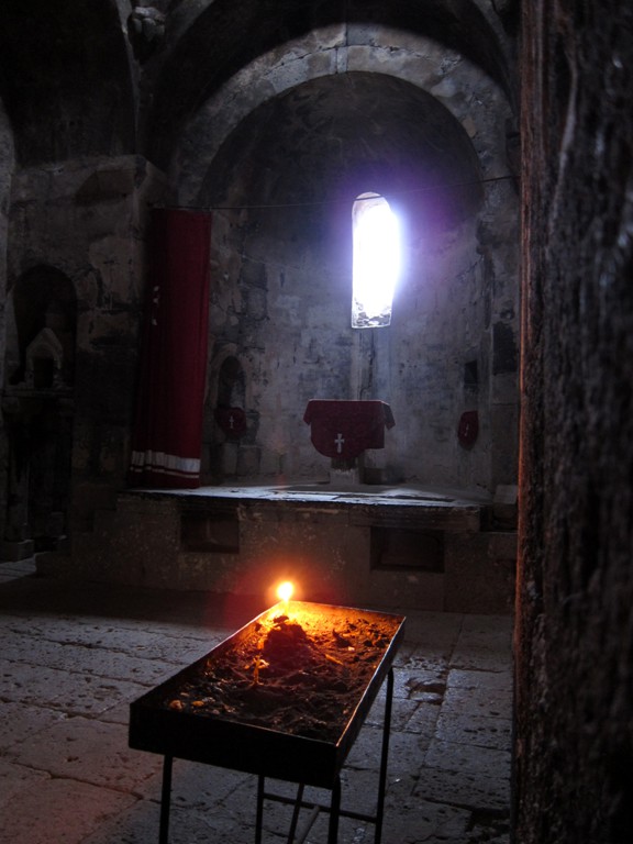
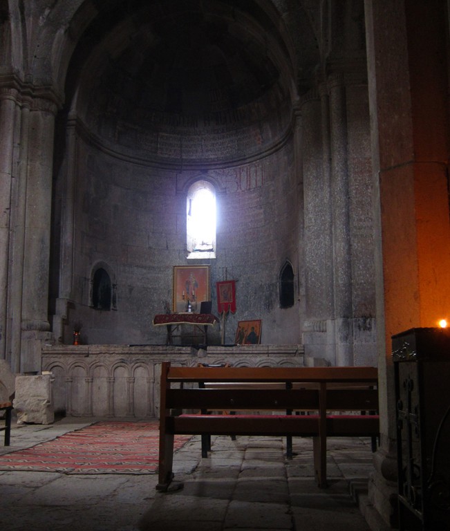
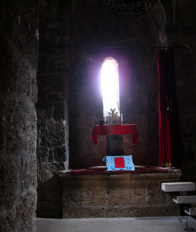
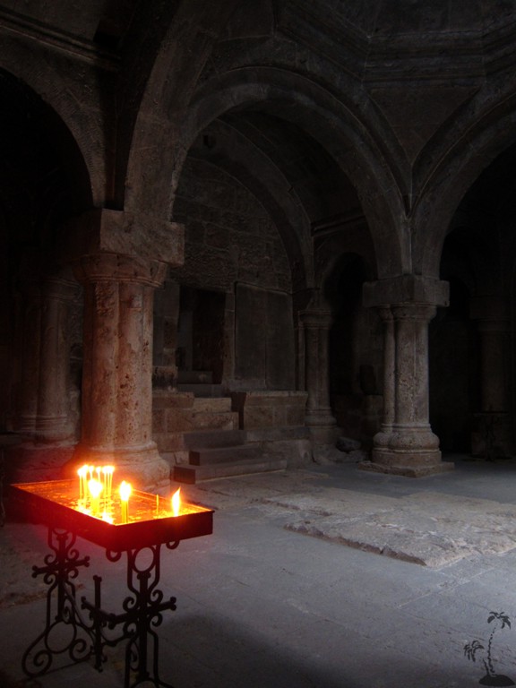
Haghpat impresses through its large size and height, best seen from the backside of the extended complex, even if there is no entrance there. Note the dominating three-storey bell tower, built in the 13th century. We visited the majestic monastery in the afternoon and had the place to ourselves, candles burning at each altar.
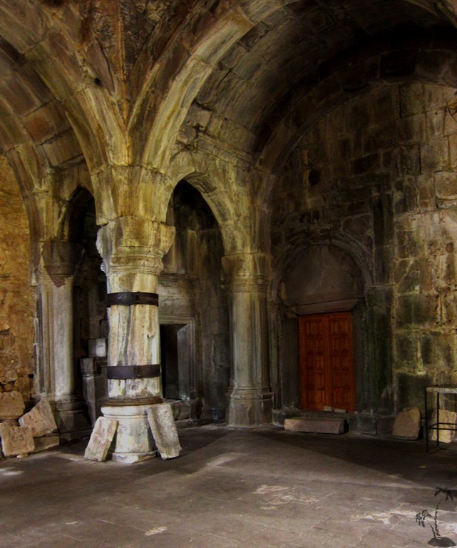
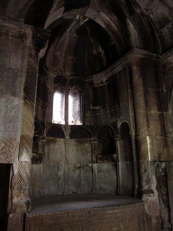
Sanahin, sometimes called more spiritual gave an almost deserted impression when visited in the late afternoon. Though some roofs have been carefully renewed the large areas of overgrown roofs present a challenge in maintenance.
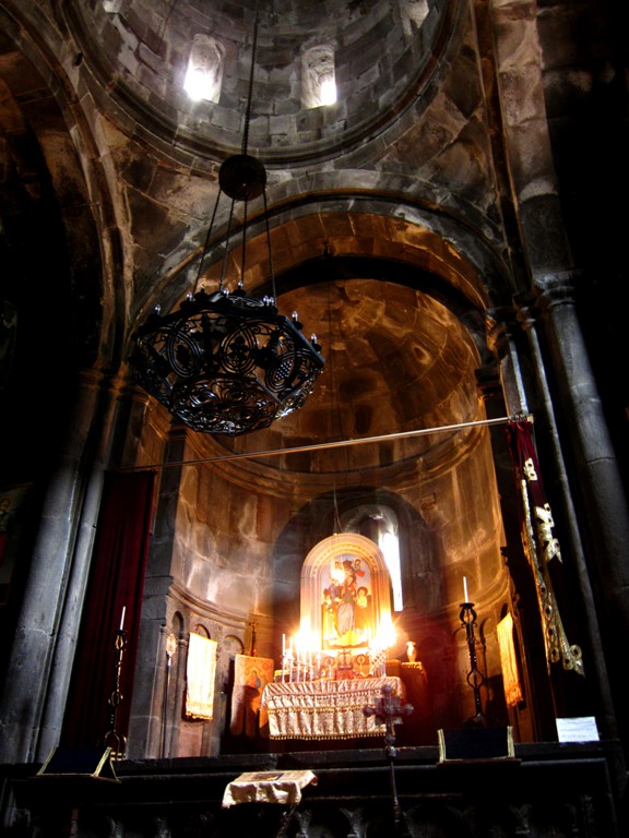
This was different in Goshavank: when we visited the next morning the parish priest was around, visitors were believers, and life of the village clearly rotated round their church. Built in the 12th century, it appears as a harmonious composition. The grave of its founder is in the monument on the opposite hill slope. Historic stories from hostile Timur Leng's repeated raids and conquest and the villagers' sacrifices appear believable. Their church survived.
Haghartsin was built in the 10th to the 13th century in a large forest. The monastery has no large village nearby. Yet here is a living church, an ancient monastery under careful renovation with a seminary in the same style.
All described churches are indicated on the map below.
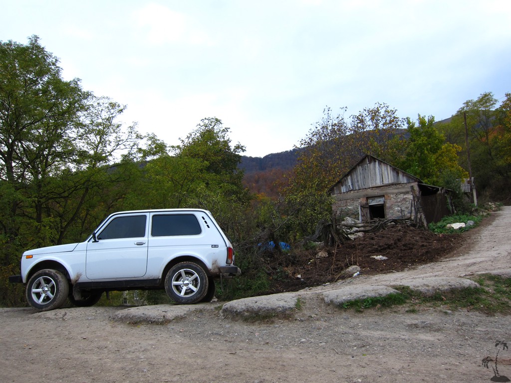
The Drive: The roads to most monastries and churches can be reached by any car. Most churches are also signposted from the main through roads. However, Moro-Dzor (or Tzrviz) and Srvegh are a little more difficult to find, and directions are below. A 4WD vehicle is required to reach them (you can also park wherever the road turns bad and walk the rest).
| Maximum altitude: | 933 meter | ||||||||||||||||||||||
| Minimum altitude: | 603 meter | ||||||||||||||||||||||
| Cumulative height: | 537 meter | ||||||||||||||||||||||
| Cumulative length: | 16 kilometer | ||||||||||||||||||||||
Difficulty
| easy |
Time:
|
1.5 hours and more for sightseeing |
Date of this record |
October 2014 |
Download GPS info: |
Churches of Armenia |
|
| |
|
|
|
|
|
|
|
|
|
|
|
|
|
|
GPS and trailmaps:
The map and trailinformation is generated by
![]() , based
on GPS information collected from the actual hike. Waypoints
can be downloaded to a GPS device from Wikiloc. If necessary, use
GPSBabel to
convert GPS data to different formats. For more
hike descriptions by Palmtreetreeproduction, browse this
website or visit Wikiloc
and search for "Palmtreeproduction". You may also find
nearby trails from other authors.
, based
on GPS information collected from the actual hike. Waypoints
can be downloaded to a GPS device from Wikiloc. If necessary, use
GPSBabel to
convert GPS data to different formats. For more
hike descriptions by Palmtreetreeproduction, browse this
website or visit Wikiloc
and search for "Palmtreeproduction". You may also find
nearby trails from other authors.
Google Earth: You may also view the trail in 3D by clicking "view in Google Earth" when on Wikiloc. You need to have Google Earth installed on your computer.