PALM TREE PRODUCTIONS
back to hikes and climbs back to Locations and Travel
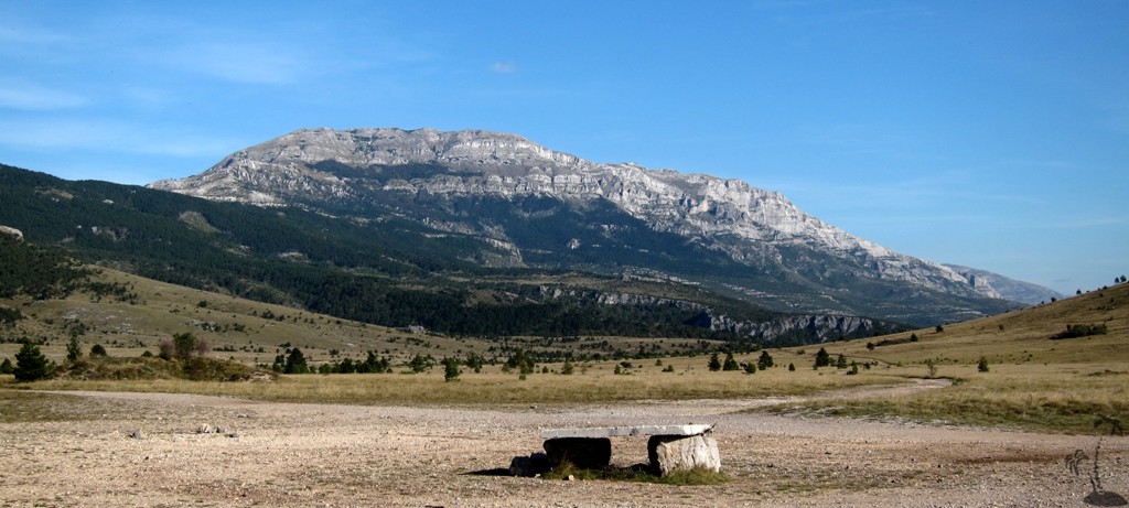
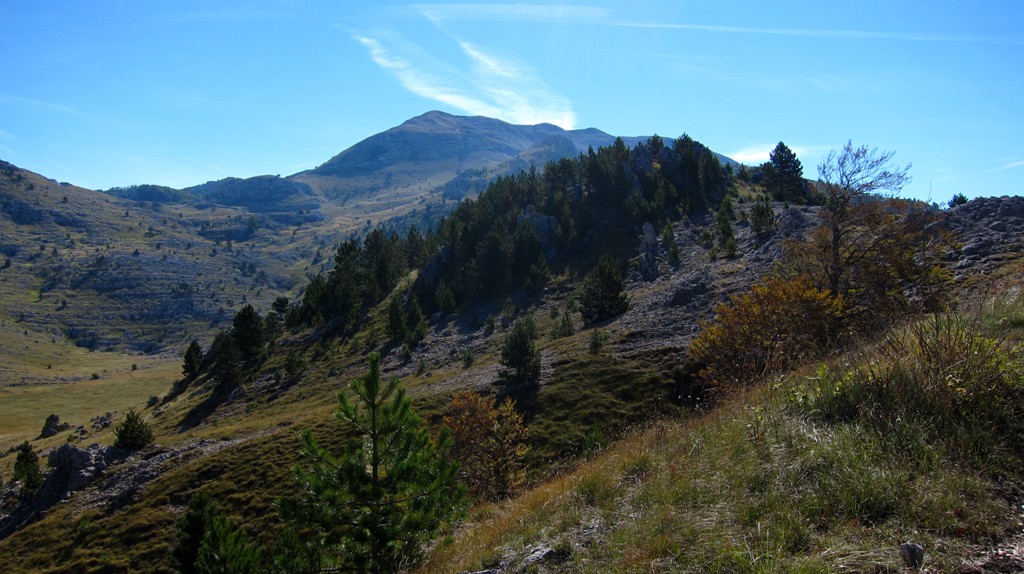
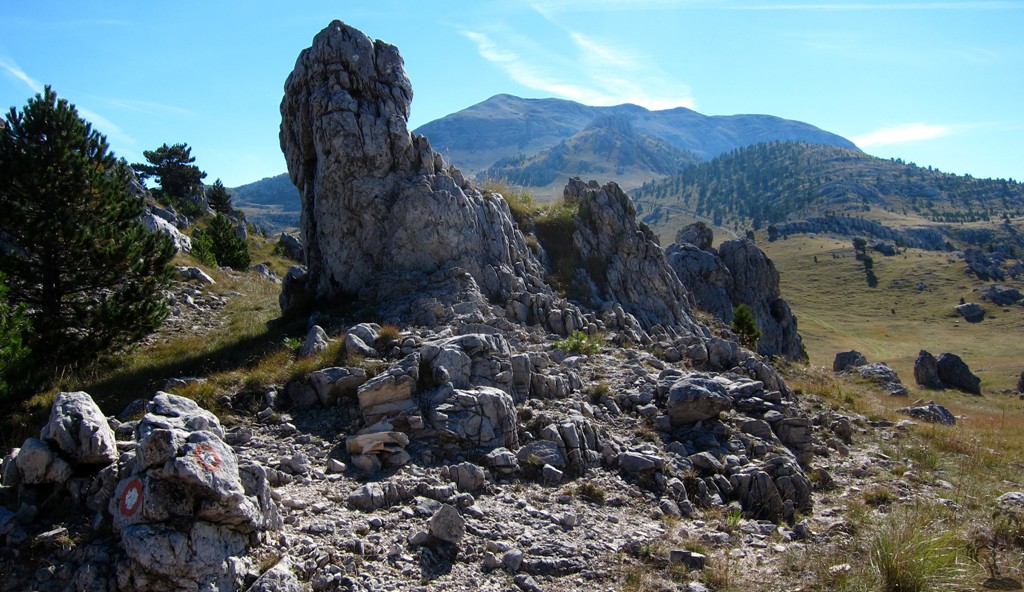
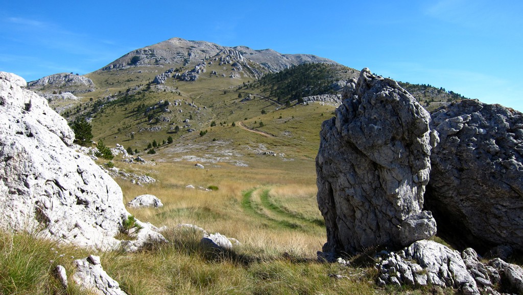
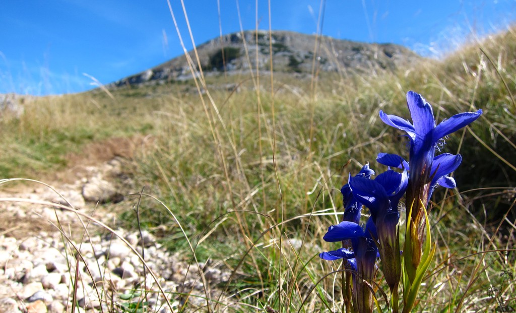
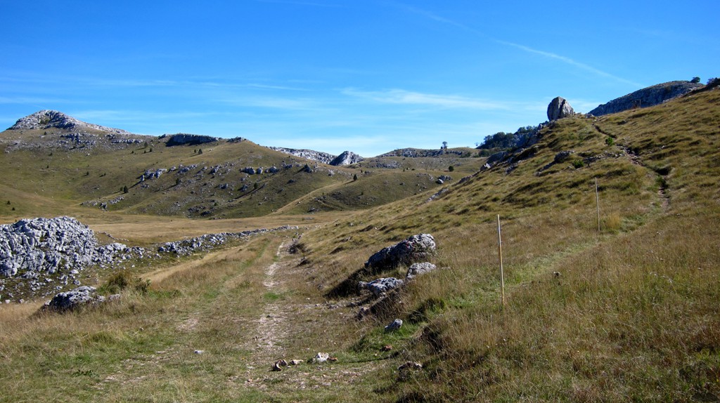
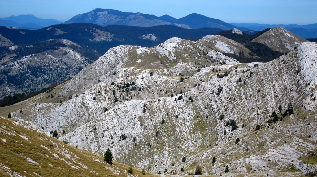
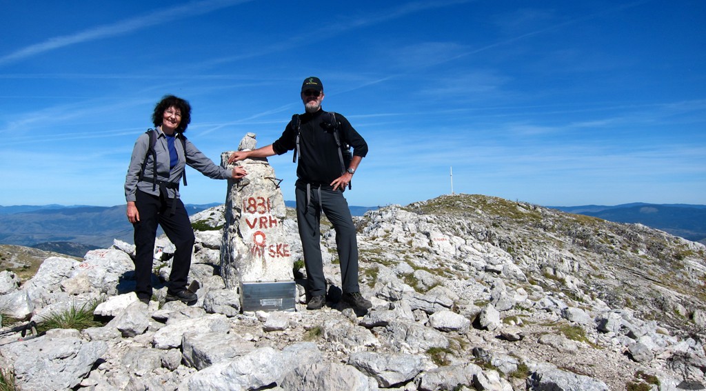
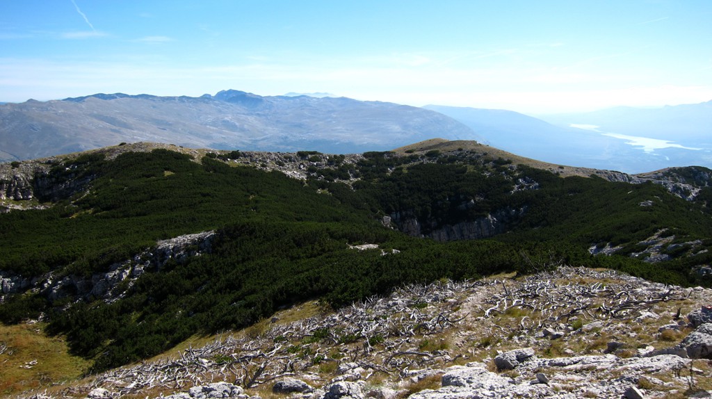
Dinara - the highest of Croatia
![]()
![]()
Summary: Dinara (1834 meter) is the highest mountain of Croatia, near the industrial town of Knin.
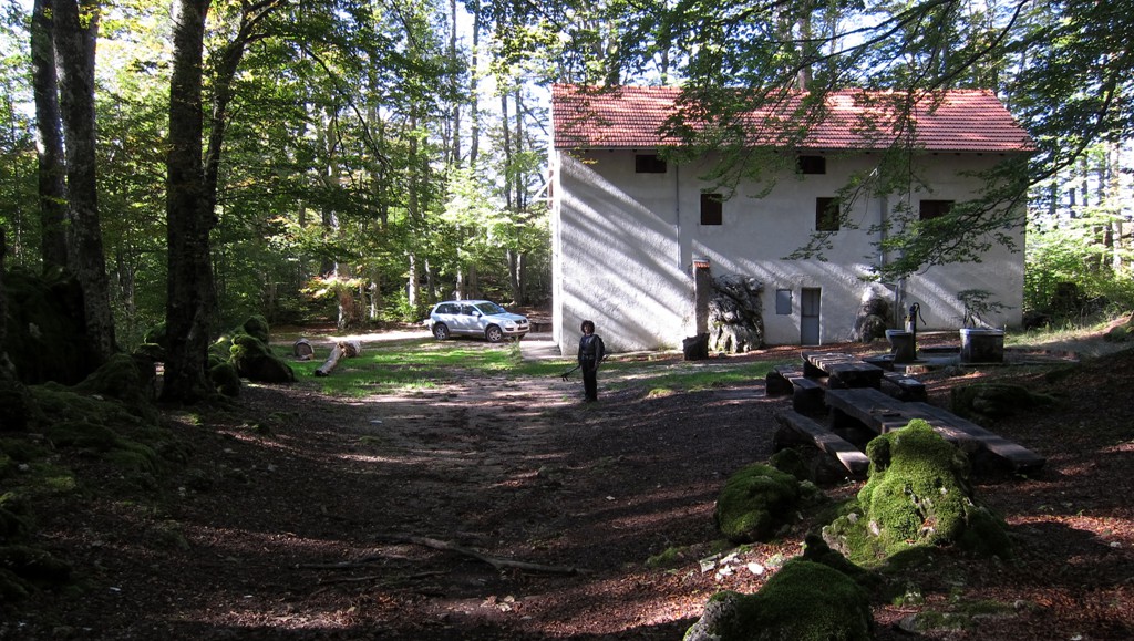
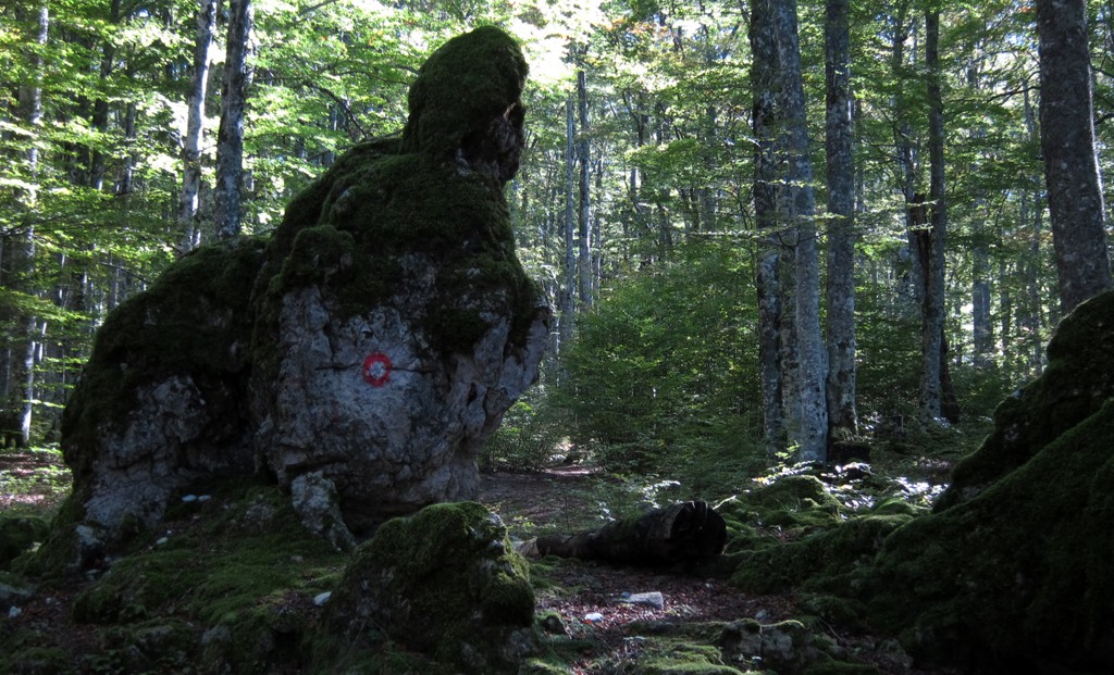
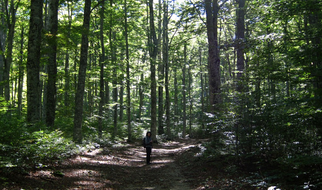
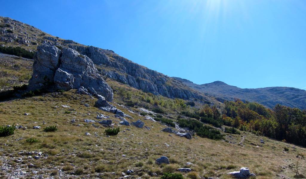
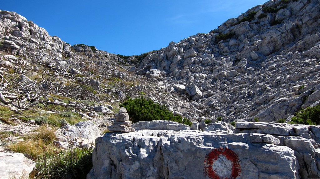
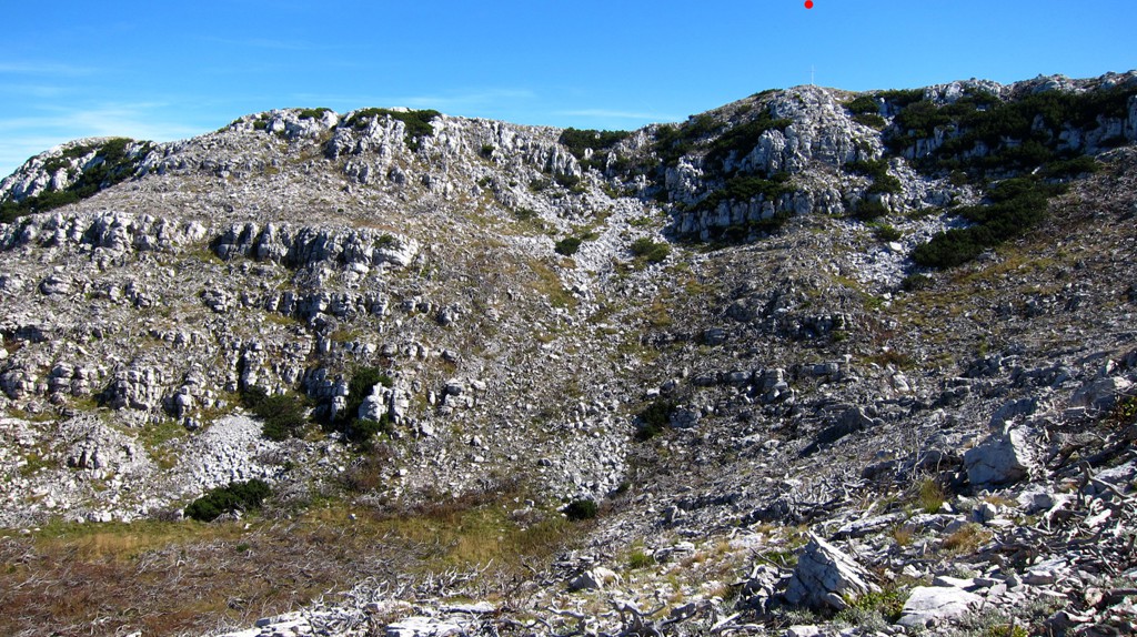
The hike: Dinara is best climbed from the hut of Brezovac. In late September, the hut was closed, but water was available. It takes about 2.5 hours to reach the summit of Dinara, and the trail is well sign posted and hard to miss. Overall, this is an easy and pleasant hike. Nevertheless, there are some junctions that should not be missed.
Having climbed more than 100 mountains in Albania without meeting a single soul, we were quite surpised to reach the summit simultaneous with another hiker who had come up the southern trail. For once and with his help, we got a full body summit shot together.
| Maximum altitude: | 1834meter | ||||||||||||||||||||||
| Minimum altitude: | 630 meter | ||||||||||||||||||||||
| Cumulative height: | 1052 meter | ||||||||||||||||||||||
| Cumulative length: | 5.5 kilometer one way | ||||||||||||||||||||||
Difficulty
| easy |
Time:
|
2.5 hours up |
Date of this record |
September 2014 |
Download GPS info: |
Dinara hike |
|
| |
|
|
|
|
|
|
|
|
|
|
|
|
|
|
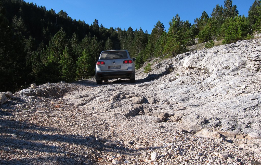
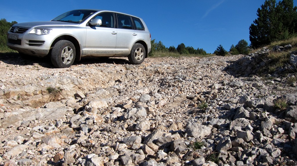
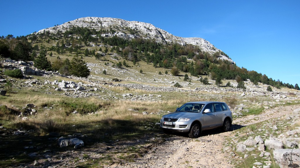
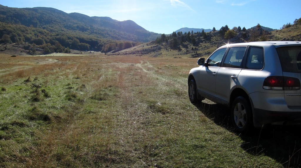
The approach: Brezovac is best reached from Knin. A road leads from Knin to the hut, but the second half - from waypoint picnic - is not suitable for salon cars. You can walk from here, but it makes for a considerably longer walk.
| Maximum altitude: | 1070 meter | ||||||||||||||||||||||
| Minimum altitude: | 242 meter | ||||||||||||||||||||||
| Cumulative height: | 872 meter | ||||||||||||||||||||||
| Cumulative length: | 17.6 kilometer one way | ||||||||||||||||||||||
Difficulty
| moderate |
Time:
|
1 hour |
Date of this record |
September 2014 |
Download GPS info: |
Dinara Drive |
|
| |
|
|
|
|
|
|
|
|
|
|
|
|
|
|
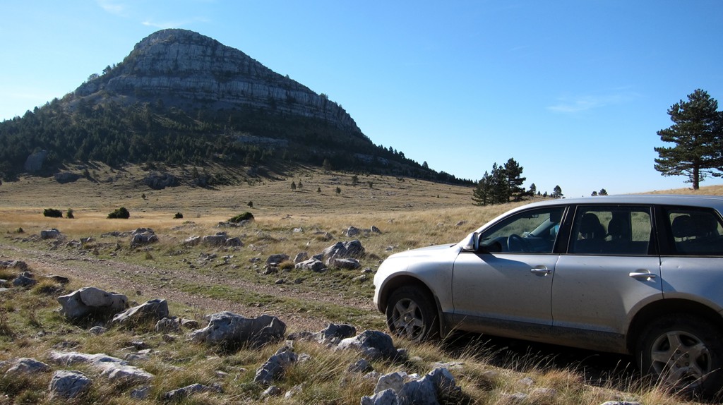
General location and approach: Near Knin
Other Information: There is a hotel in Knin, along the road to Bosnia and Herzogevina, just beyond the turn to Dinara mountain. The breakfast is better than the accomodation, but you will not have much choice.
Google Earth: You may also view the trail in 3D by clicking "view in Google Earth" when on Wikiloc. You need to have Google Earth installed on your computer.