![]()
PALM TREE PRODUCTIONS
back to hikes and climbs back to Eifel
Durchs Hohe Venn nach Baraque Michel![]()
Lange Tour von Küchelscheid durchs die Mitte des Hohen Venn nach Baraque Michel, und zurück.
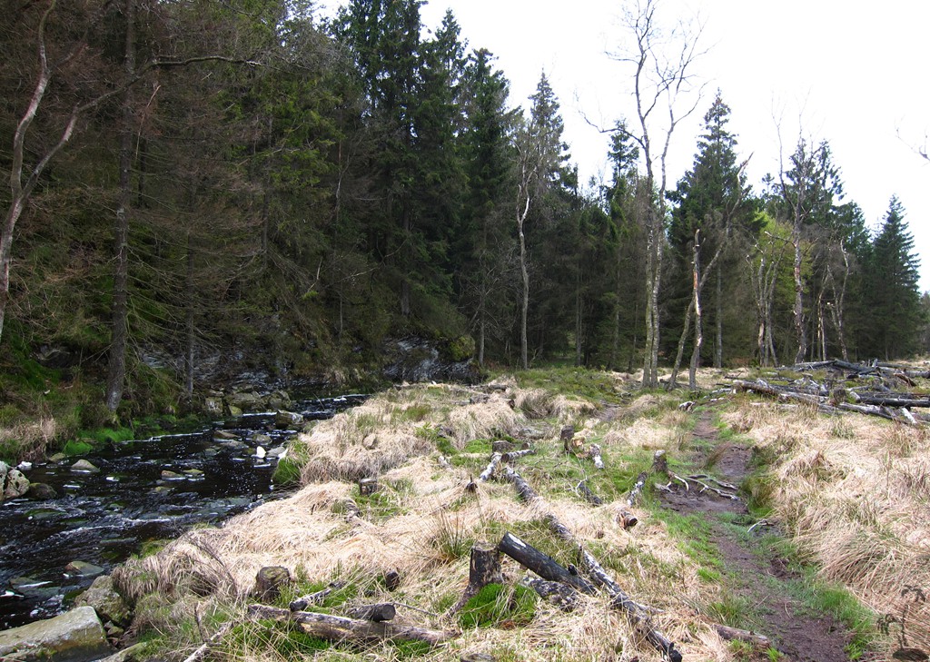
Frühmorgens los in Küchelscheid, dann wird man Wild beobachten - an diesem Tag im Mai gleich viermal. Allerdings sollte man auch nicht zu früh losmarschieren, da es Frühstück oder Essen erst ab 10 Uhr in Baraque Michel gibt. Kaffee vielleicht auch schon vorher.
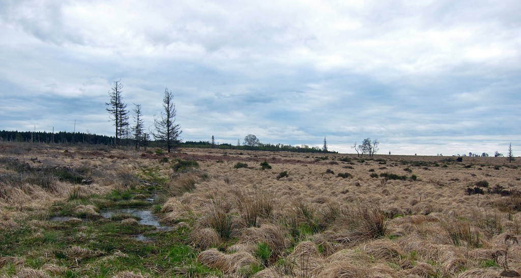
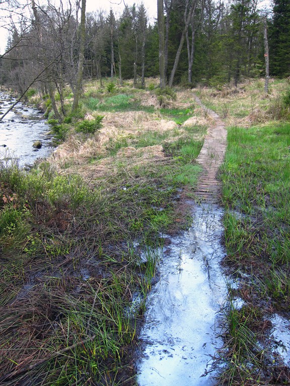
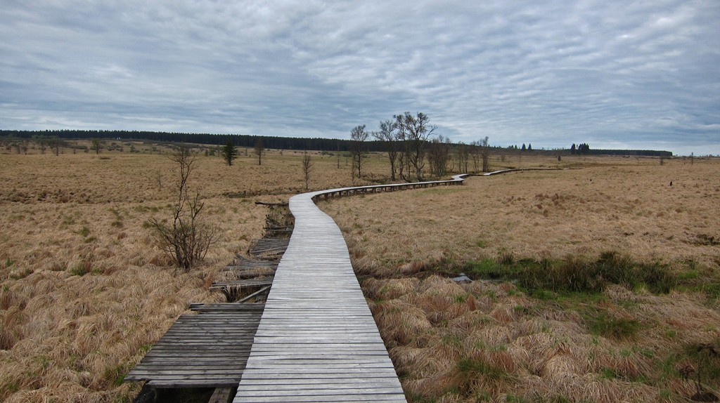
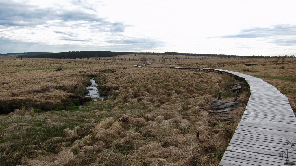
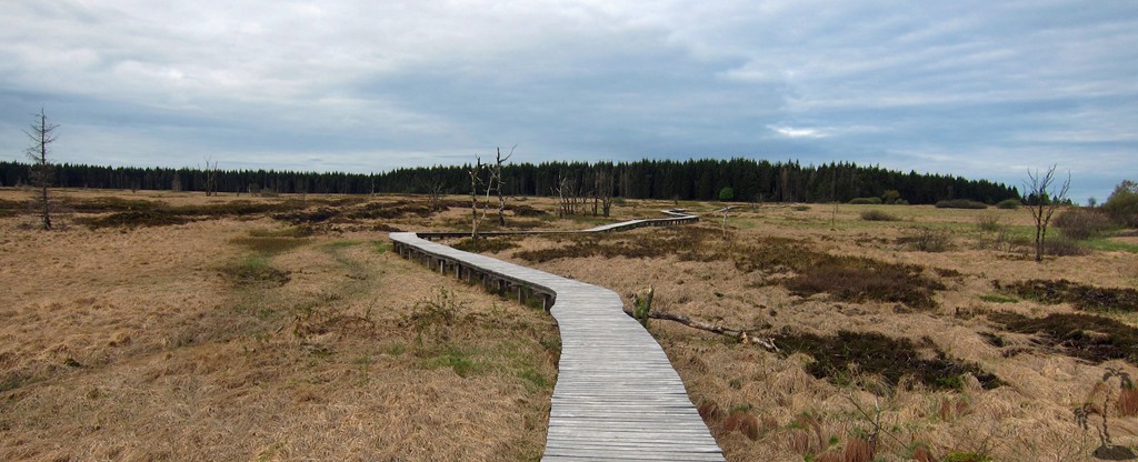
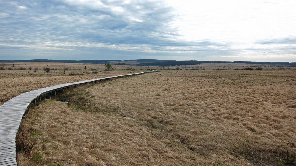
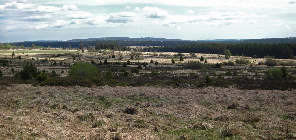
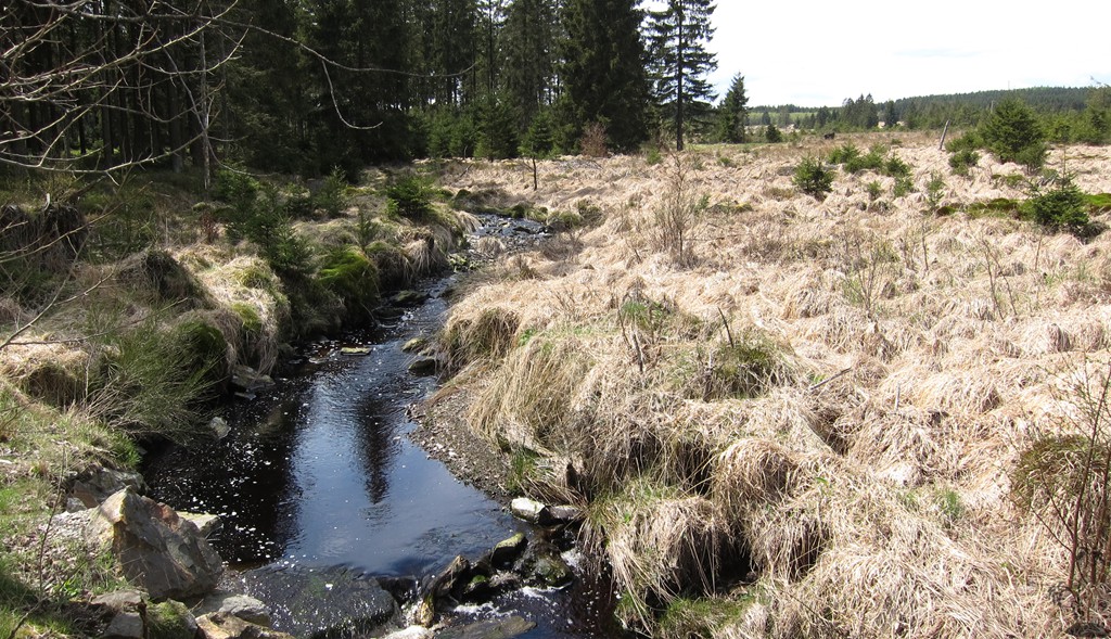
Kurze Stücke durchs Clefaye Venn sind steglos, und sind nur mit Führer erlaubt.
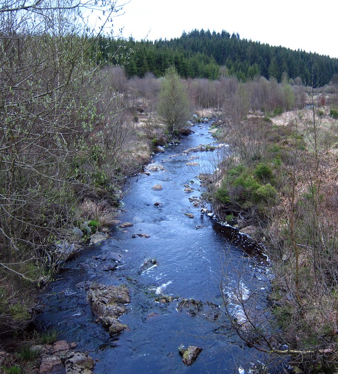
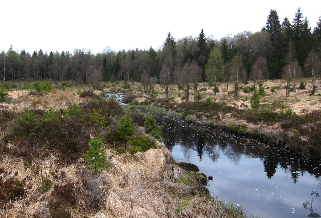
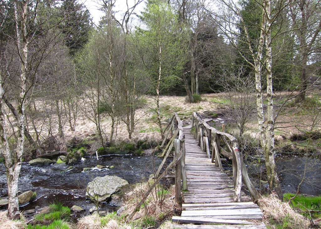
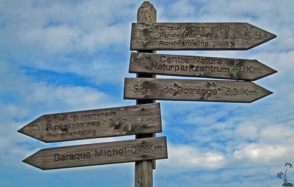
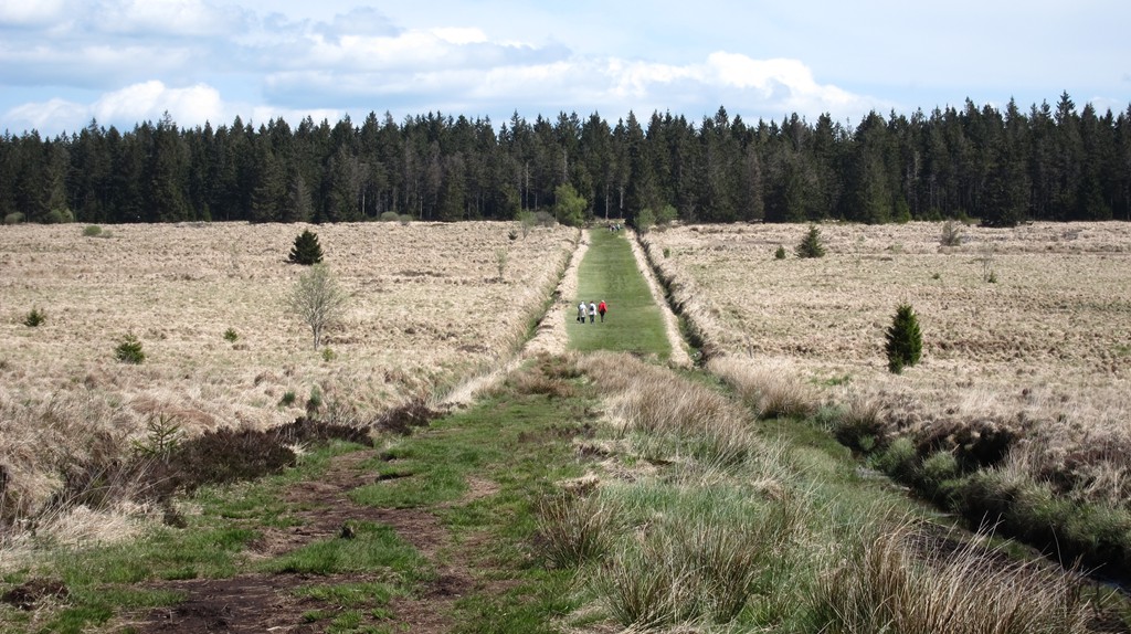
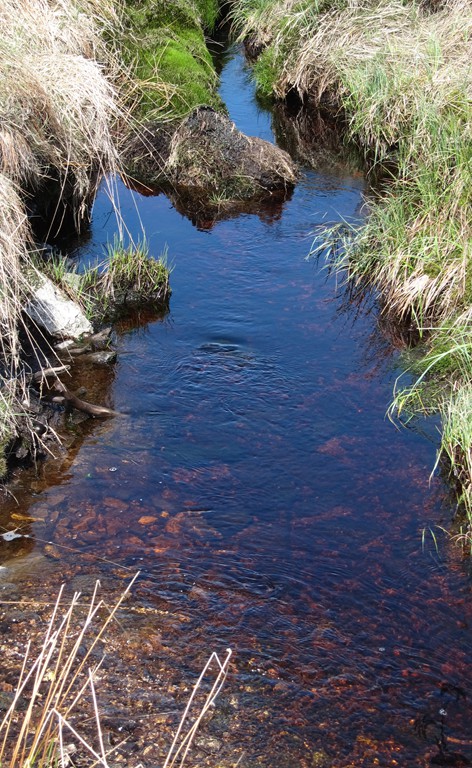
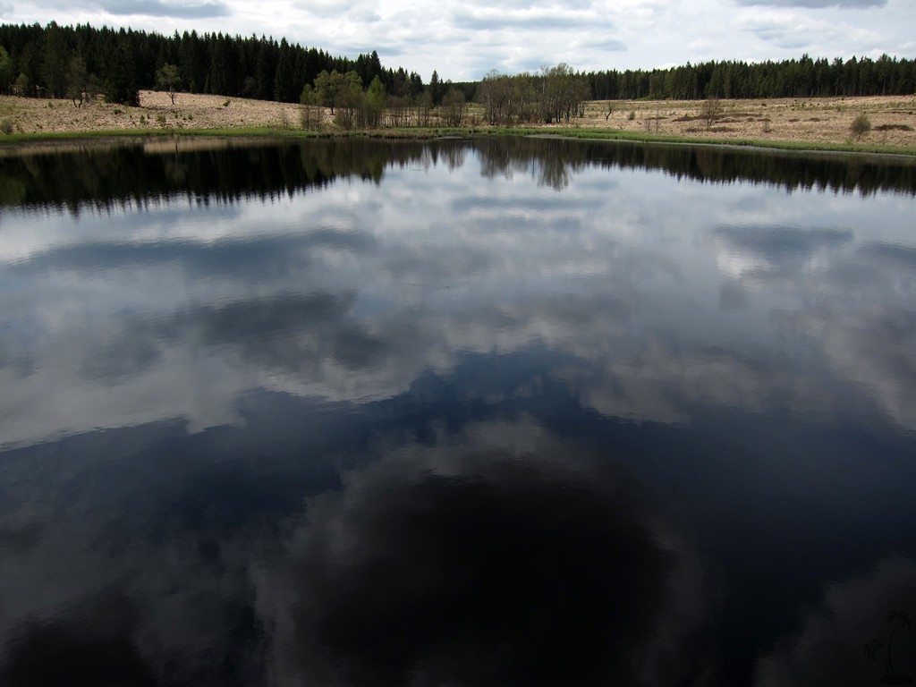
Zurück über Mont Rigi und Botrange, am Rande des Venns (nicht über die Straße), dann auf guten Forstwegen nach Küchelscheid, zum Teil asphaltiert. Vorher noch ein kuzer Abstecher zum immer lohnenswerten Schwarzbach See.
| Maximum altitude: | 718 meter |
| Minimum altitude: | 551 meter |
| Cumulative height: | 432 meter |
| Cumulative length: | 26.9 kilometer one way |
| Difficulty | moderate |
| Time: | 6 hour walking |
| Date of this record | May 2015 |
| Download GPS info: | To Baraque Michel |
General location and approach: Start und Ende in Küchelscheid, über die Grenze von Kalterherberg
Other Information: Einkehr in Küchelscheid, Baraque Michel und Kalterherberg. Übernachtung in Kalterherberg of sonstwo in Monschau
Hinweis: Das Hohe Venn ist in Zonen eingeteilt (A, B, C, D).
Google Earth: You may also view the trail in 3D by clicking "view in Google Earth" when on Wikiloc. You need to have Google Earth installed on your computer.