PALM TREE PRODUCTIONS
back to hikes and climbs back to Eifel
Von Kalterherberg nach Bütgenbach
Radtour nach Bütgenbach, auf Waldwegen. Das letzte Stück von Bütgenbach nach Kalterherberg auf dem Ravel Fahrradweg. Einkehr im Cafe Heinen in Bütgenbach sehr empfehlenswert.
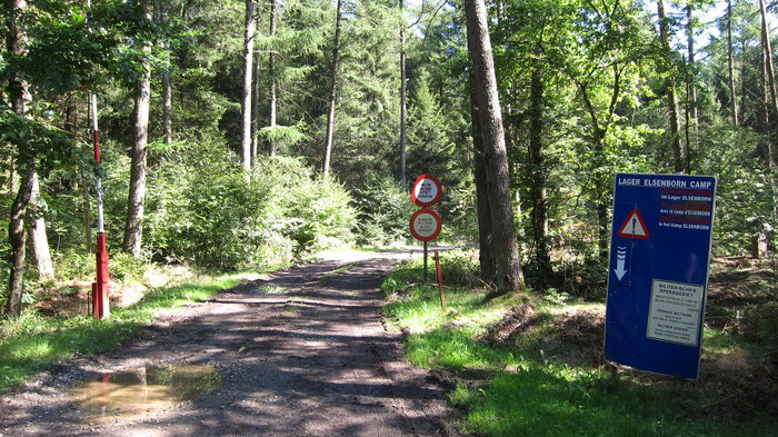 Am Rande des Truppenübungsplatzes von Elsenborn
| Maximum altitude: | 639 meter |
| Minimum altitude: | 523 meter |
| Cumulative height: | 303 meter |
| Cumulative length: | 40.3 kilometer |
| Difficulty | easy |
| Time: | make a whole daz of it! |
| Date of this record | August 2015 |
| Download GPS info: | Büttgenbach |
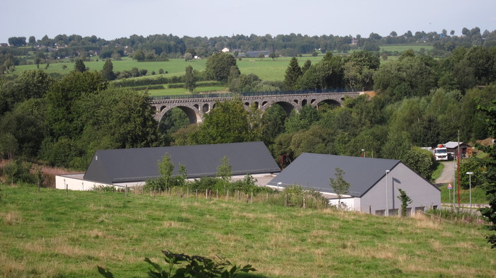
Die ehemalige Eisenbahnbrücke ist jetzt Teil des Ravel Fahrradweges
GPS and trailmaps: The map and trailinformation is generated by ![]() , based on GPS information collected from the actual hike. Waypoints can be downloaded to a GPS device from Wikiloc. If necessary, use GPSBabel to convert GPS data to different formats. For more hike descriptions by Palmtreetreeproduction, browse this website or visit Wikiloc and search for "Palmtreeproduction". You may also find nearby trails from other authors.
, based on GPS information collected from the actual hike. Waypoints can be downloaded to a GPS device from Wikiloc. If necessary, use GPSBabel to convert GPS data to different formats. For more hike descriptions by Palmtreetreeproduction, browse this website or visit Wikiloc and search for "Palmtreeproduction". You may also find nearby trails from other authors.
Google Earth: You may also view the trail in 3D by clicking "view in Google Earth" when on Wikiloc. You need to have Google Earth installed on your computer.