PALM TREE PRODUCTIONS
back to hikes and climbs back to Eifel
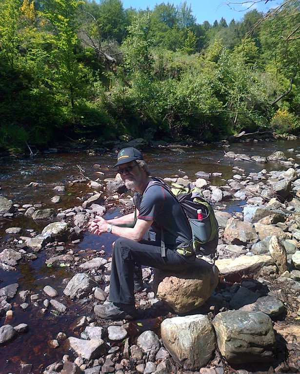
Getzbach-Ternell-Hill![]()
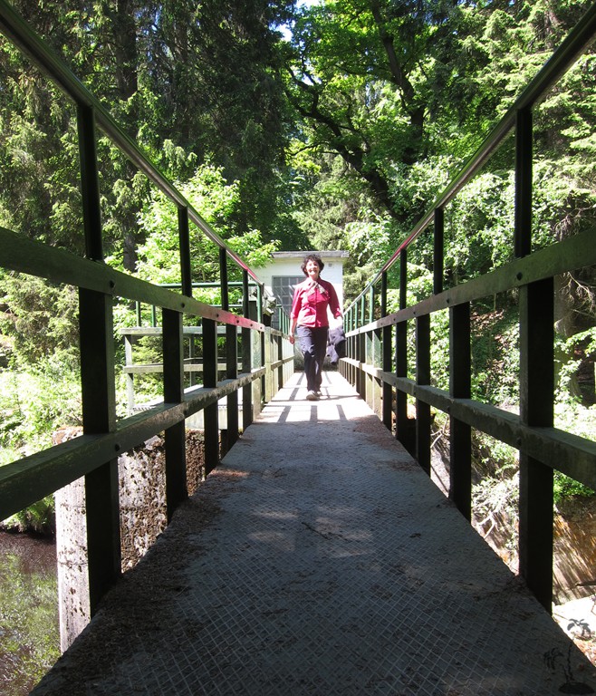
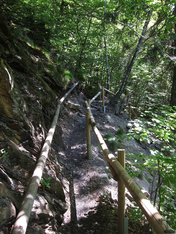
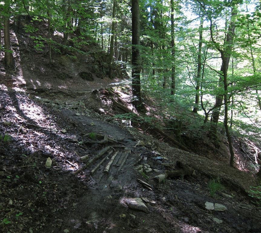
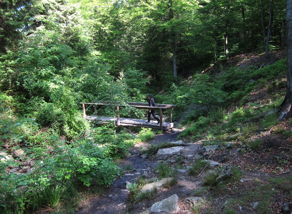
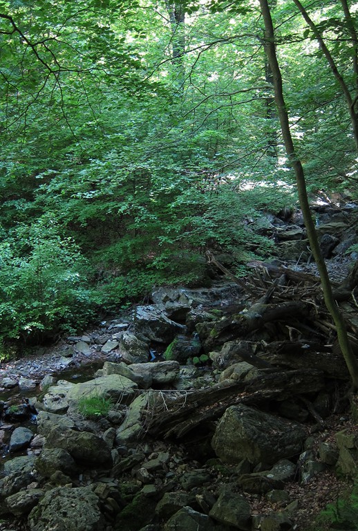
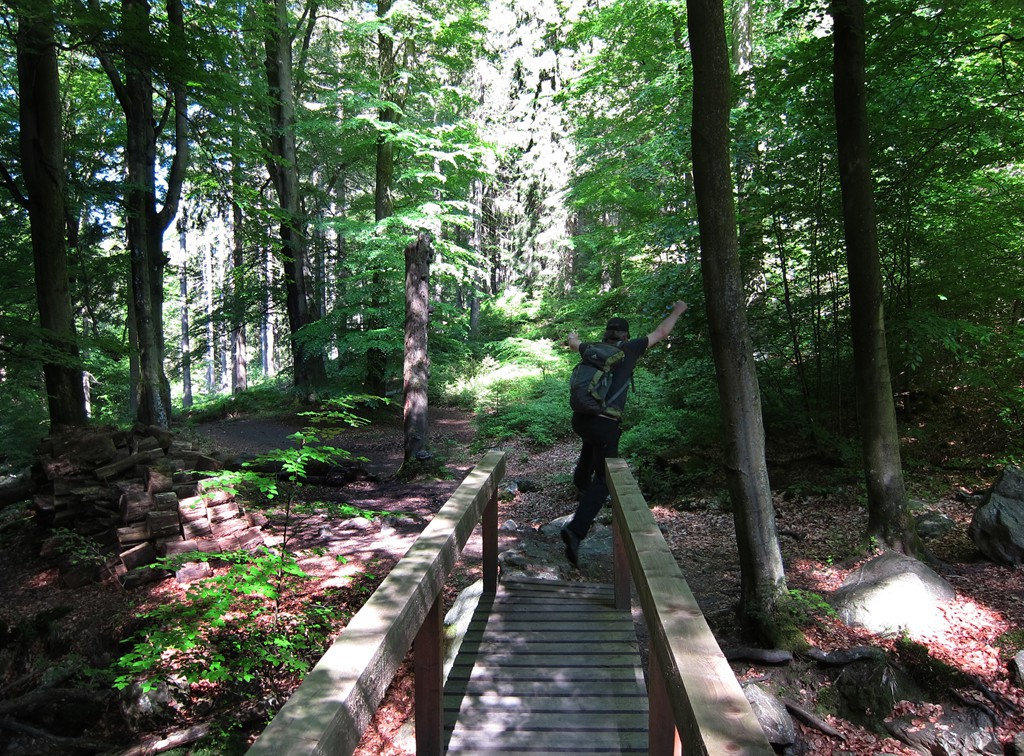
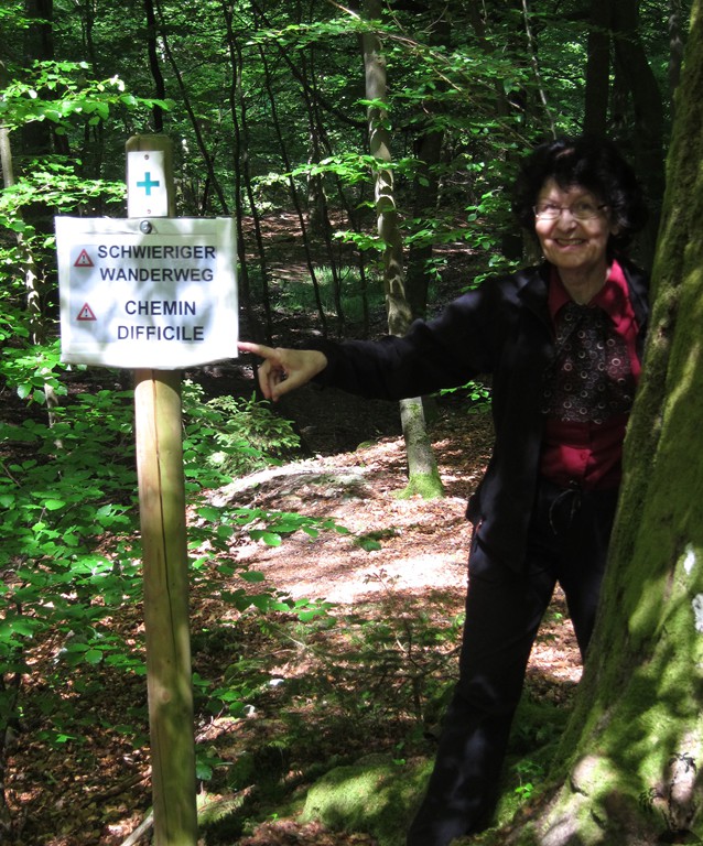
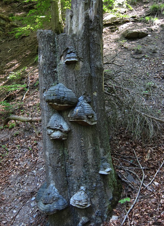
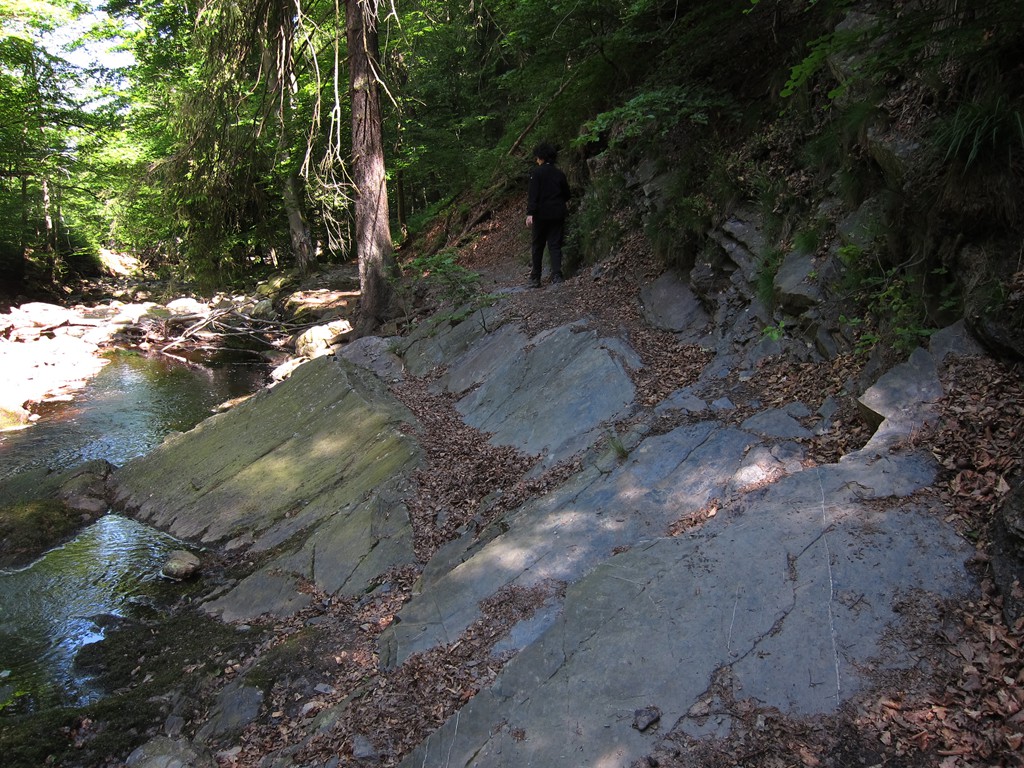
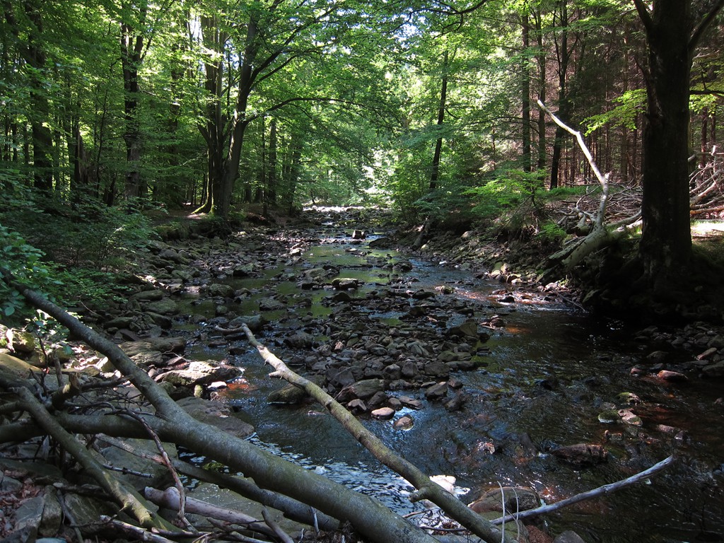
Summary: Ein interessanter Rundweg in der Nähe von Ternell, mit Bergpfadcharakter. Viel Wildnis, rauschende Bäche, tiefe Schluchten, viuel Auf-und-Ab. Und viel Ruhe trotz der Nähe zur Zivilisation. Viellcht nicht ganz einfach wenn es regnet.
In Ostbelgien, aber prima von Monschau in Deutschland zu erreichen. Ein absolutes Highlight.
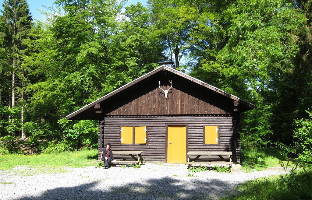
Ein Besuch des Ternell Zentrum ist sehr empfehlenswert. Essen gibts auch. Und das Hohe Venn ist gleich nebenan.
| Maximum altitude: | 563 meter |
| Minimum altitude: | 413 meter |
| Cumulative height: | 190 meter |
| Cumulative length: | 8.4 kilometer |
| Difficulty | moderate |
| Time: | 2.5 hours |
| Date of this record | June 2015 |
| Download GPS info: | Getz-Ternell |
General location and approach: Entlang der Strasse die Monschau und Eupen verbindet. Es gibt Busse die auf Verlangen am start und in Ternell halten. Man muß rausfinden wann die gehen.
GPS and trailmaps: The map and trailinformation is generated by ![]() , based on GPS information collected from the actual hike. Waypoints can be downloaded to a GPS device from Wikiloc. If necessary, use GPSBabel to convert GPS data to different formats. For more hike descriptions by Palmtreetreeproduction, browse this website or visit Wikiloc and search for "Palmtreeproduction". You may also find nearby trails from other authors.
, based on GPS information collected from the actual hike. Waypoints can be downloaded to a GPS device from Wikiloc. If necessary, use GPSBabel to convert GPS data to different formats. For more hike descriptions by Palmtreetreeproduction, browse this website or visit Wikiloc and search for "Palmtreeproduction". You may also find nearby trails from other authors.
Google Earth: You may also view the trail in 3D by clicking "view in Google Earth" when on Wikiloc. You need to have Google Earth installed on your computer.