PALM TREE PRODUCTIONS
back to hikes and climbs back to Eifel
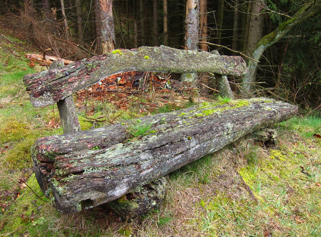
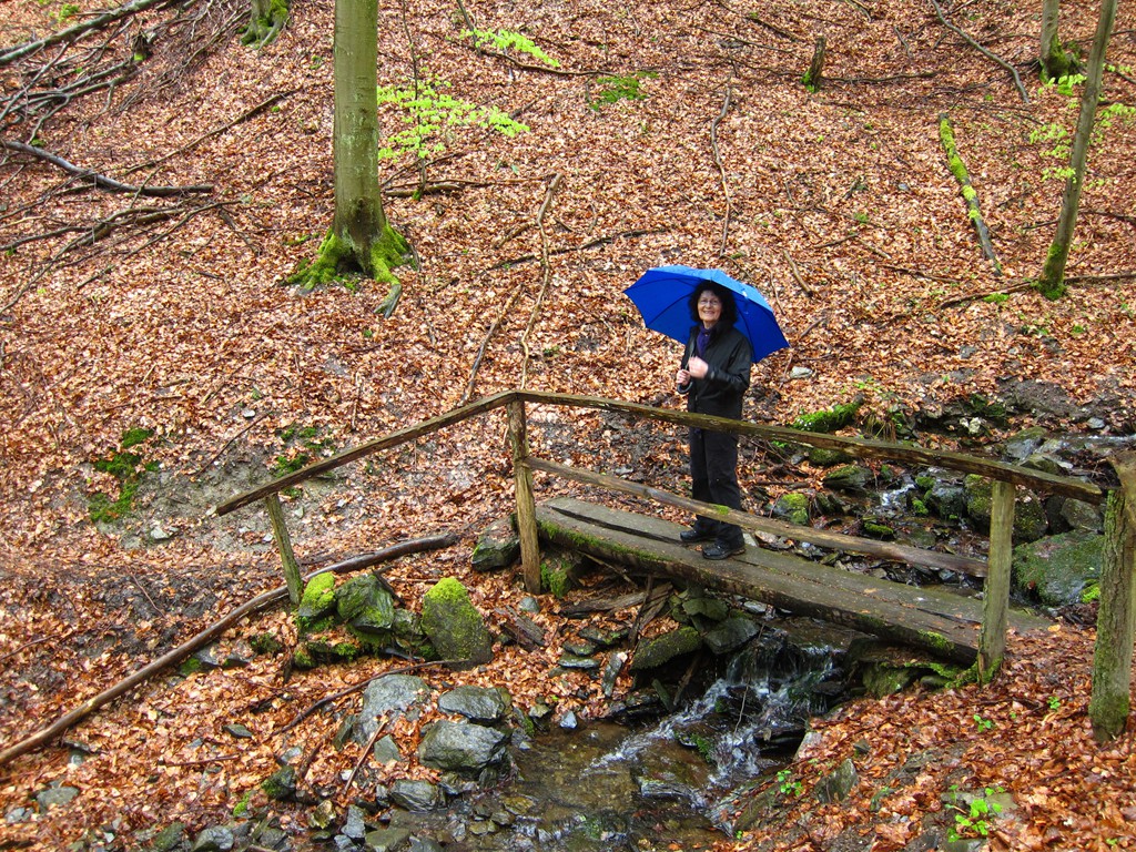
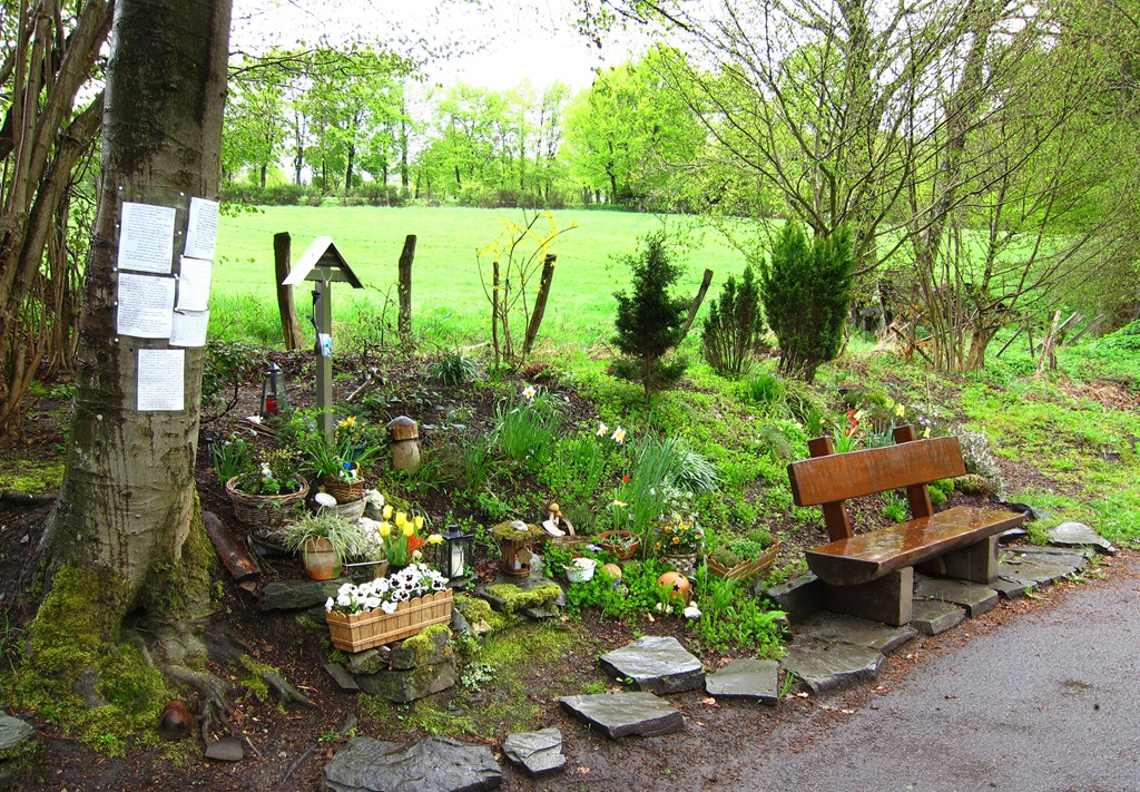
Die Bank am Holderbach![]()
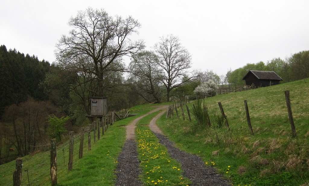
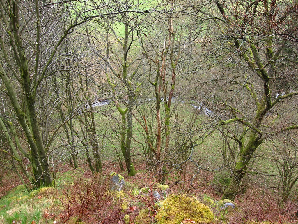
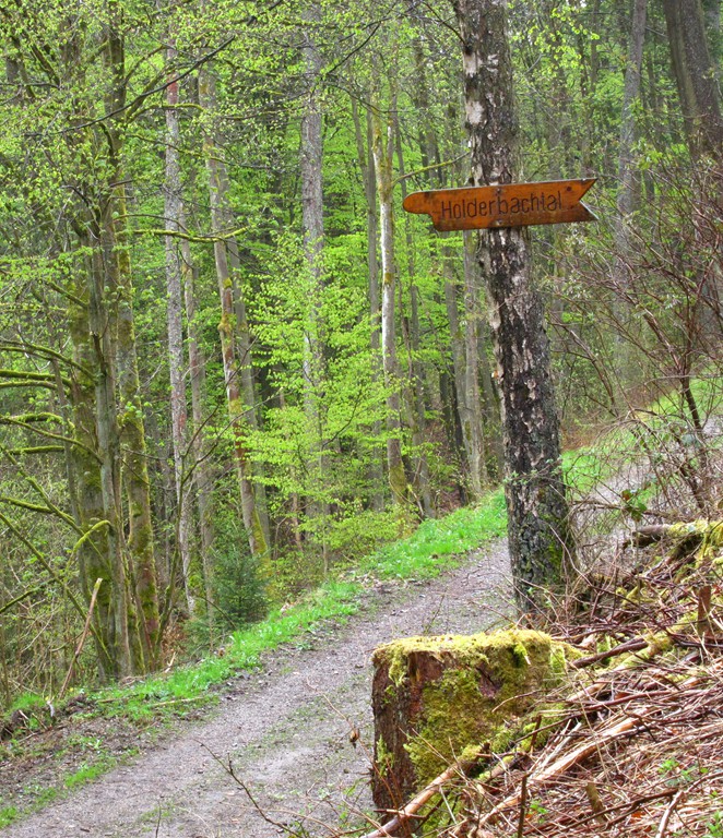
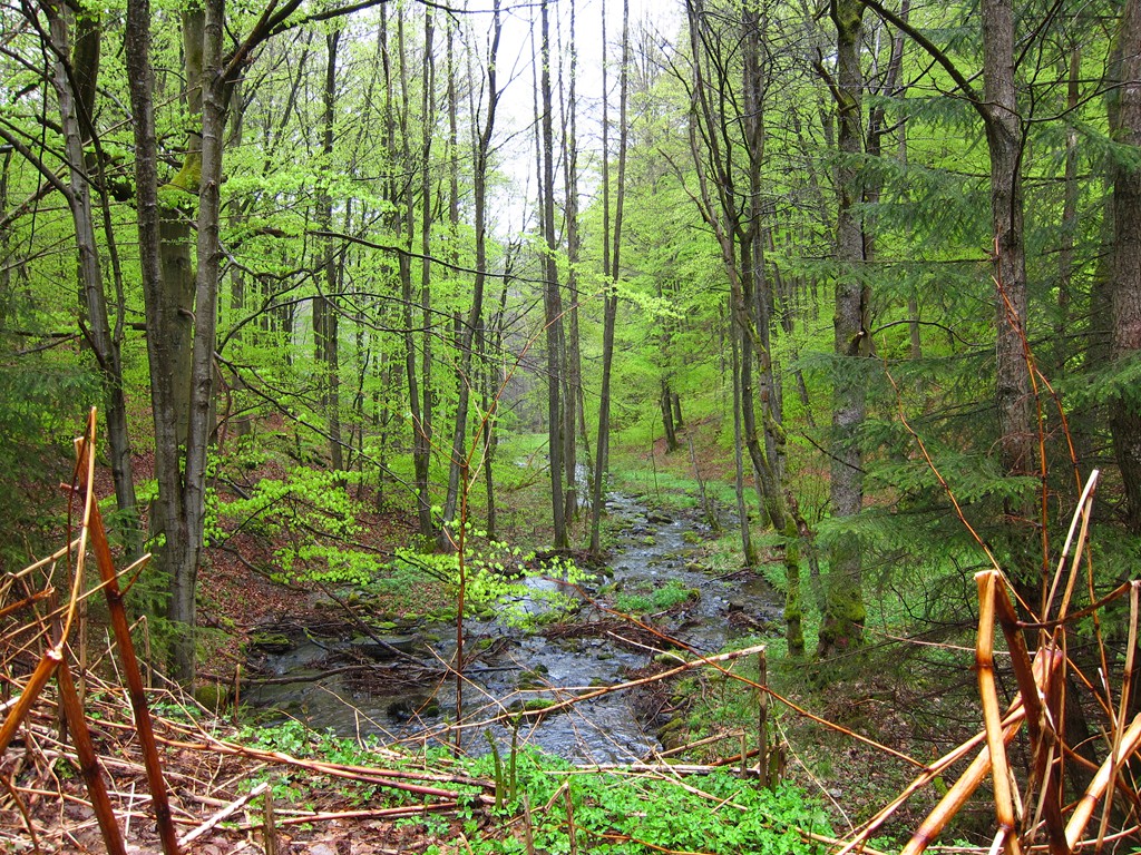
Kurze angenehme Wanderung, auch schlechtwettertauglich, meistens auf Forstwegen.
| Maximum altitude: | 573 meter |
| Minimum altitude: | 443 meter |
| Cumulative height: | 185 meter |
| Cumulative length: | 8.7 kilometer |
| Difficulty | easy |
| Time: | 2 hour 20 minutes |
| Date of this record | May 2015 |
| Download GPS info: | Holderbach |
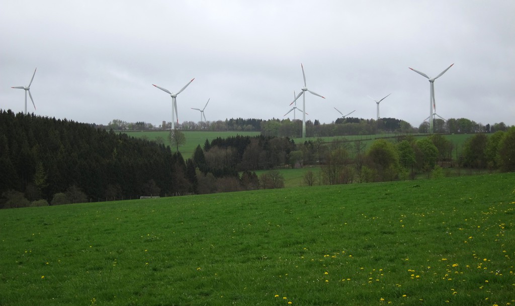
General location and approach: In der Nähe von Rohren, Eifel
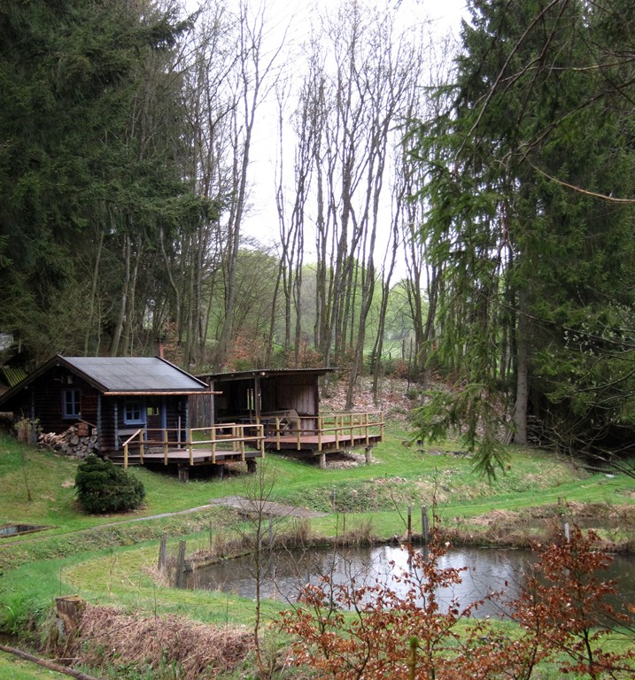
Other Information: Einkehr in Höfen (Alte Molkerei) oder in allen Ortsteilen von Monschau. Unterkunft in Höfen oder Monschau.

Google Earth: You may also view the trail in 3D by clicking "view in Google Earth" when on Wikiloc. You need to have Google Earth installed on your computer.