PALM TREE PRODUCTIONS
back to hikes and climbs back to Eifel
Schwalmbach und Döppeskaul ![]()
Schon mal was vom Döppeskaul gehört? Macht nichts. Hier ist die Gelegenheit.
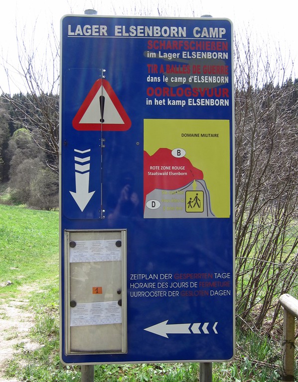
Teil der Wanderung folgt dem ziemlich bekannten Narzissen-Weg. Vom Parkplatz am Gut Heistert (kein Restaurant) folgt man dem Perlbach stromaufwärts. An der Belgischen Grenze geht man dann ins Schwalmbachtal. Am Eingang steht ein Warnschild des Truppenübungsplatzes Elsenborn - eventuelle Sperrzeiten beachten. Am Wochenende wird meist nicht geschossen.
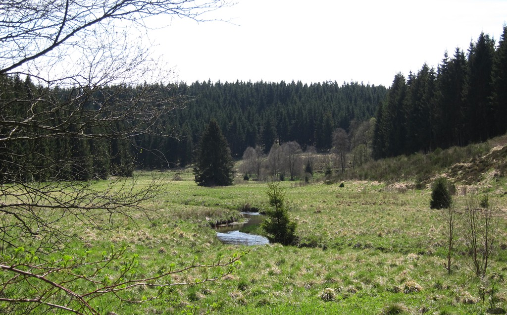
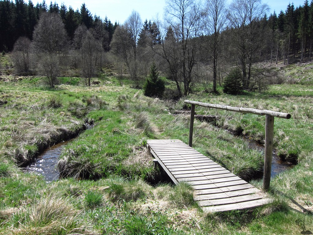
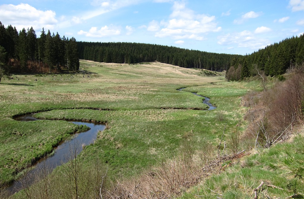
Das Schwalmbachtal ist sehr idyllisch. Von dort geht es über einen Rücken zum Döppeskaul (Döppesbach). Möglicherweise ist es auf dem Weg dorthin sumpfig. Weiter kommt man zum Fuhrtsbachtal - von dort auf guten Wegen zurück nach Gut Heistert.
Die Narzissen sind ein Bonus - Ende April bis Anfang Mai. An diesen Wochenenden ist die Gegend bevölkert, jedoch weniger so an den Werktagen. Die Tour ist aber das ganze Jahr über sehr lohnend.
| Maximum altitude: | 598 meter |
| Minimum altitude: | 503 meter |
| Cumulative height: | 208 meter |
| Cumulative length: | 14.5 kilometer |
| Difficulty | moderate |
| Time: | 4 hour |
| Date of this record | May 2015 |
| Download GPS info: | Schwalmbach |
General location and approach: Start und Endpunkt bei Gut Heistert, am Ende von Kalterherberg (Monschau)
Other Information:

Google Earth: You may also view the trail in 3D by clicking "view in Google Earth" when on Wikiloc. You need to have Google Earth installed on your computer.