PALM TREE PRODUCTIONS
back to hikes and climbs back to Eifel
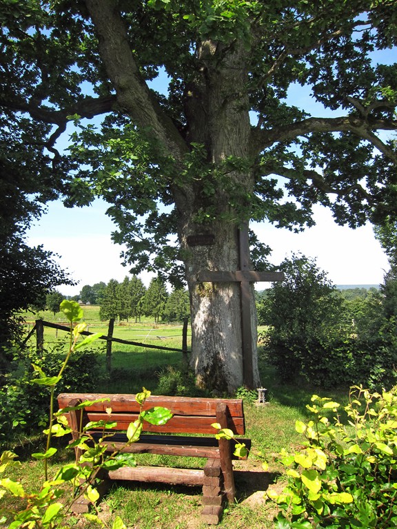
Theissbaum und Krummer Ast![]()
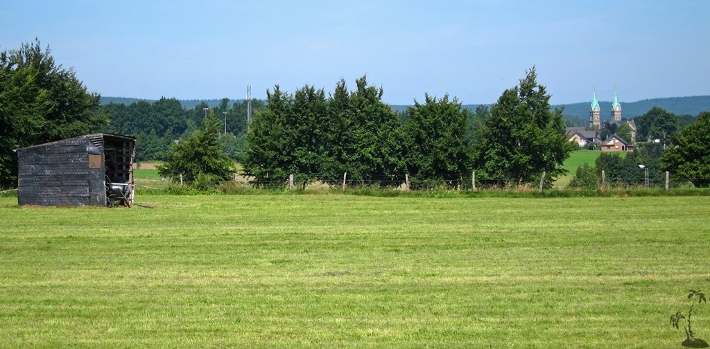
Eine einfache Südumrundung von Kalterherberg. Die Tour kann jederzeit abgekürzt werden, indem man auf Kalterherberg zuhält.
| Maximum altitude: | 608 meter |
| Minimum altitude: | 534 meter |
| Cumulative height: | 126 meter |
| Cumulative length: | 8.8 kilometer |
| Difficulty | easy |
| Time: | 2 hours without stops |
| Date of this record | August 2015 |
| Download GPS info: | Theissbaum |
General location and approach: Einkehr in Kalterherberg
Google Earth: You may also view the trail in 3D by clicking "view in Google Earth" when on Wikiloc. You need to have Google Earth installed on your computer.