PALM TREE PRODUCTIONS
back to hikes and climbs back to Locations and Travel
Steeped in History: Mtskheta and Uplistsikhe![]()
Summary:
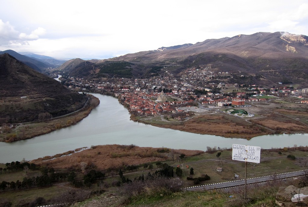
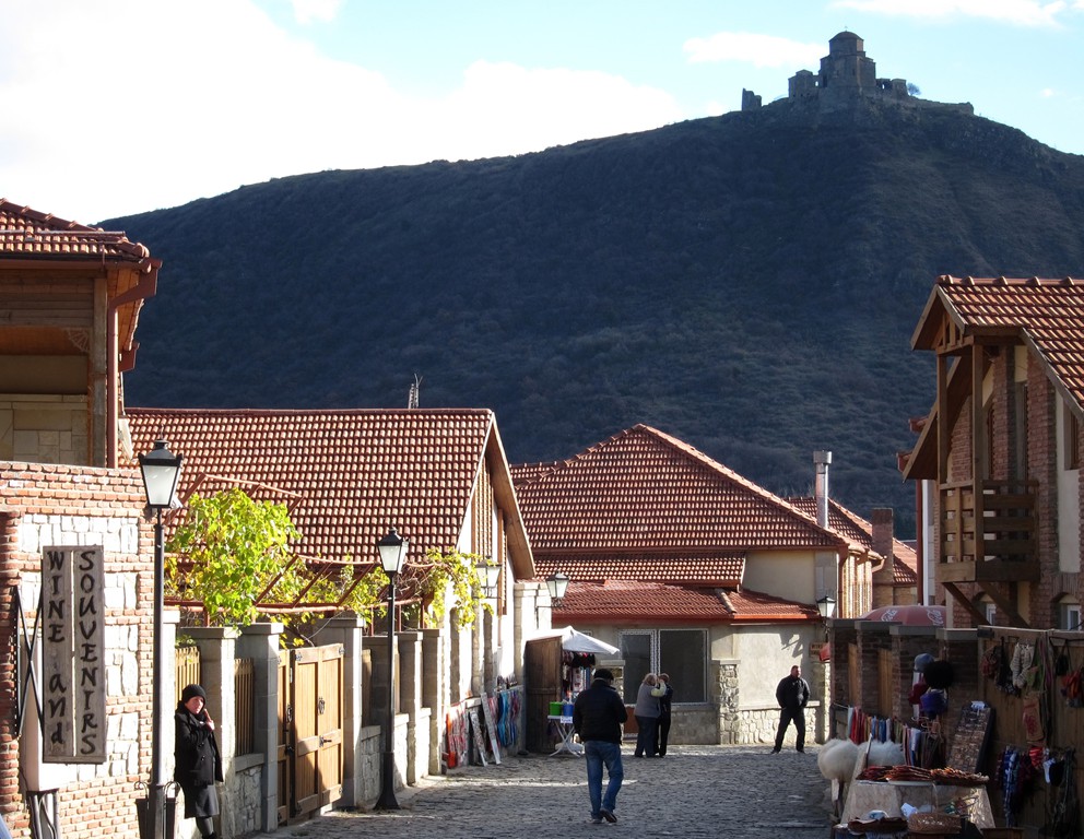
Mtskheta (მცხეთა) is an ancient town of extraordinary importance to the Georgian nation, located about 20km out of Tbilisi. Mtskheta is one of the oldest continuously inhabited cities in the world. It was the capital of the eastern Georgian kingdom of Iberia from the 3rd century BC to the 5th century AD. Mtskheta was the site of Georgia's adoption of Christianity in 334 and remains the headquarters of the Georgian Orthodox Church. Due to its historical significance and numerous monuments, the Historical Monuments of Mtskheta became a UNESCO World Heritage Site in 1994. Containing some of the oldest and most important churches in the country, and with an alluring setting where the Mtkvari and Aragvi Rivers meet, Mtskheta makes an easy and enjoyable day trip from Tbilisi.
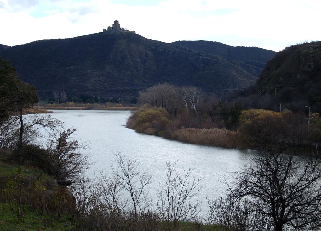
Visible for miles around on a cliff overlooking Mtskheta is the Jvari (The Cross) Monastery. Jvari is, to many Georgians, the holiest of holies. Jvari stands where King Mirian erected a sacred wooden cross soon after his conversion by St Nino in the 4th century. Jvari is a beautifully symmetrical little building and a classic of early Georgian tetra-conch design. The interior is rather bare, but the site provides spectacular views over Mtskheta.
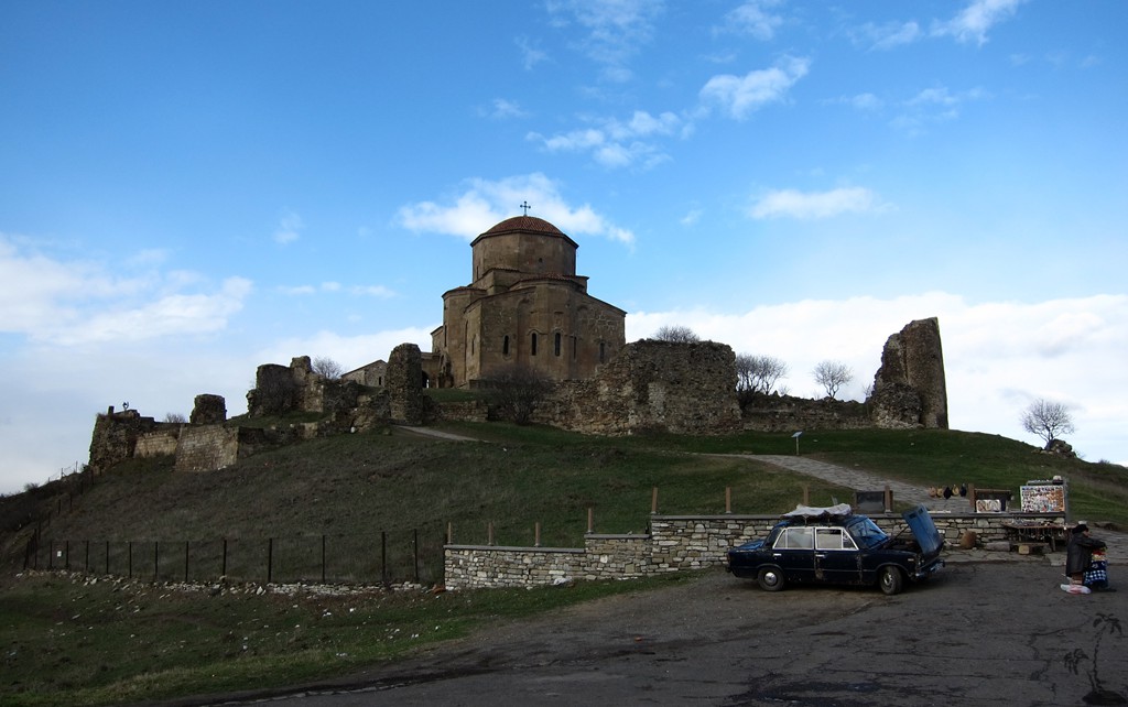
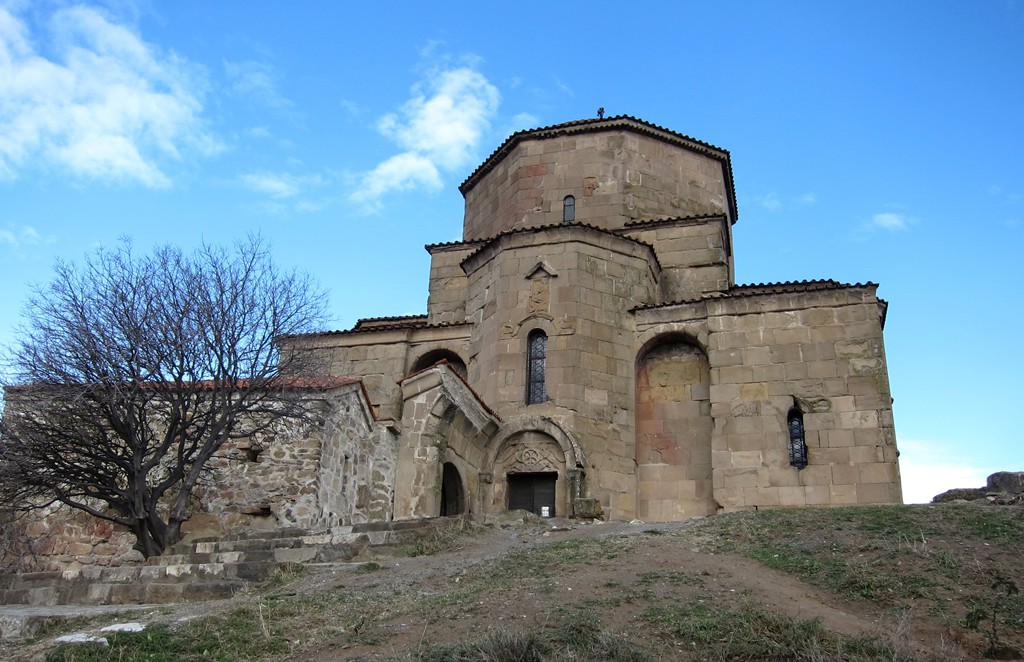
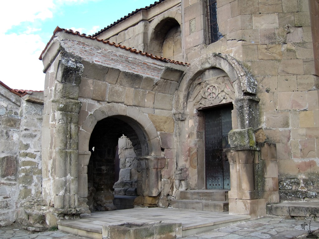
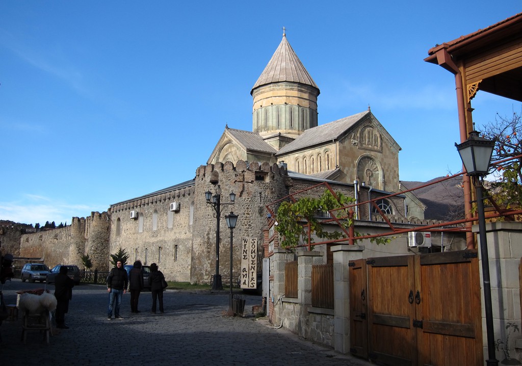
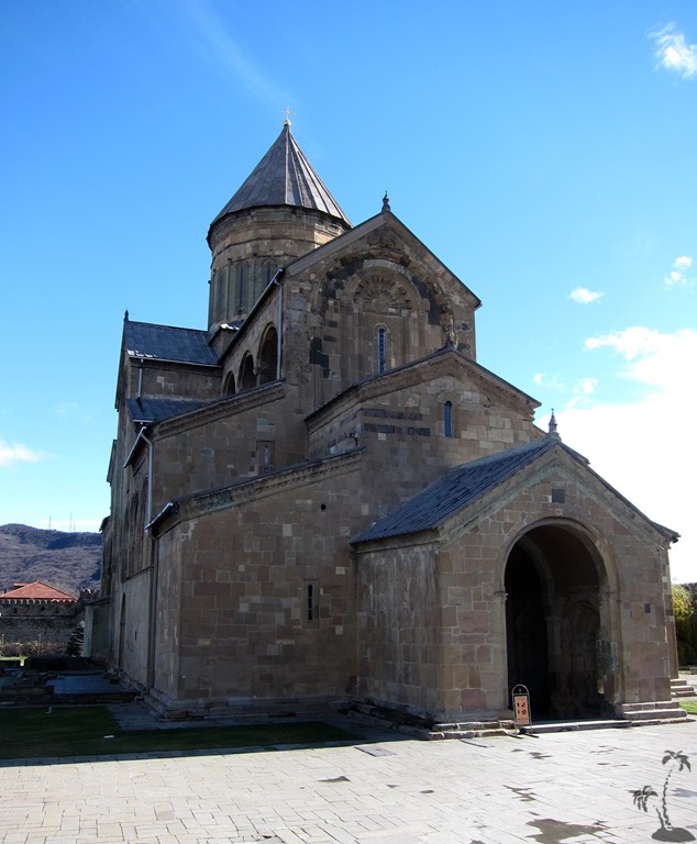
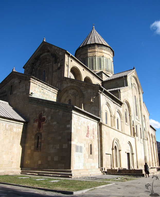
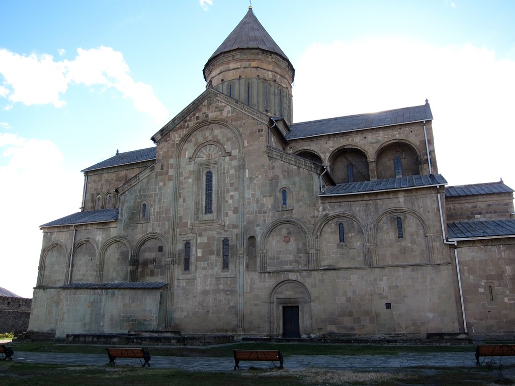
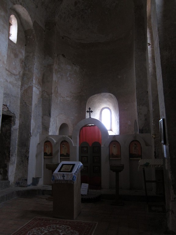
Svetitskhoveli Cathedral is one of the most sacred places in Georgia and, along with Jvari Monastery, the highlight of a trip to Mtskheta. It was founded in 1010, built on the site of Georgia's first church. Christ’s robe is believed to lie in the nave beneath a square tower-like pillar that is decorated with colorful if faded frescoes.
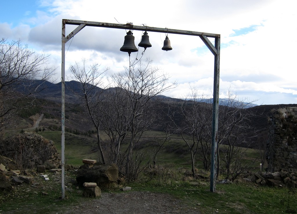
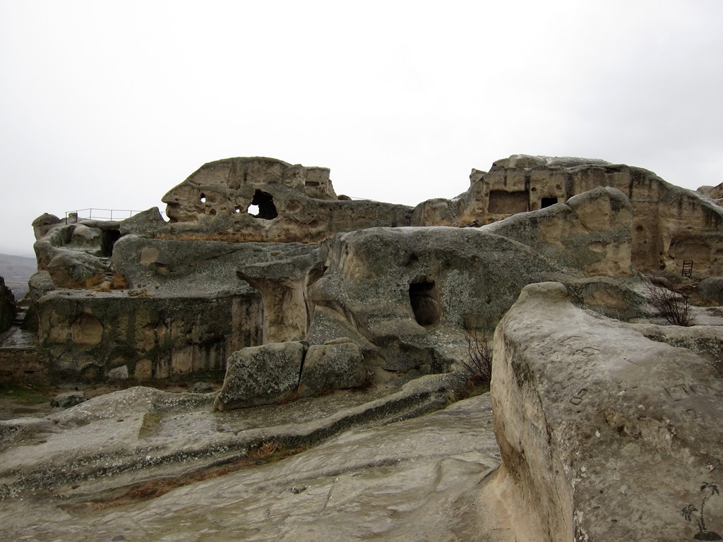
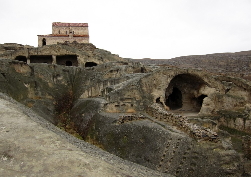
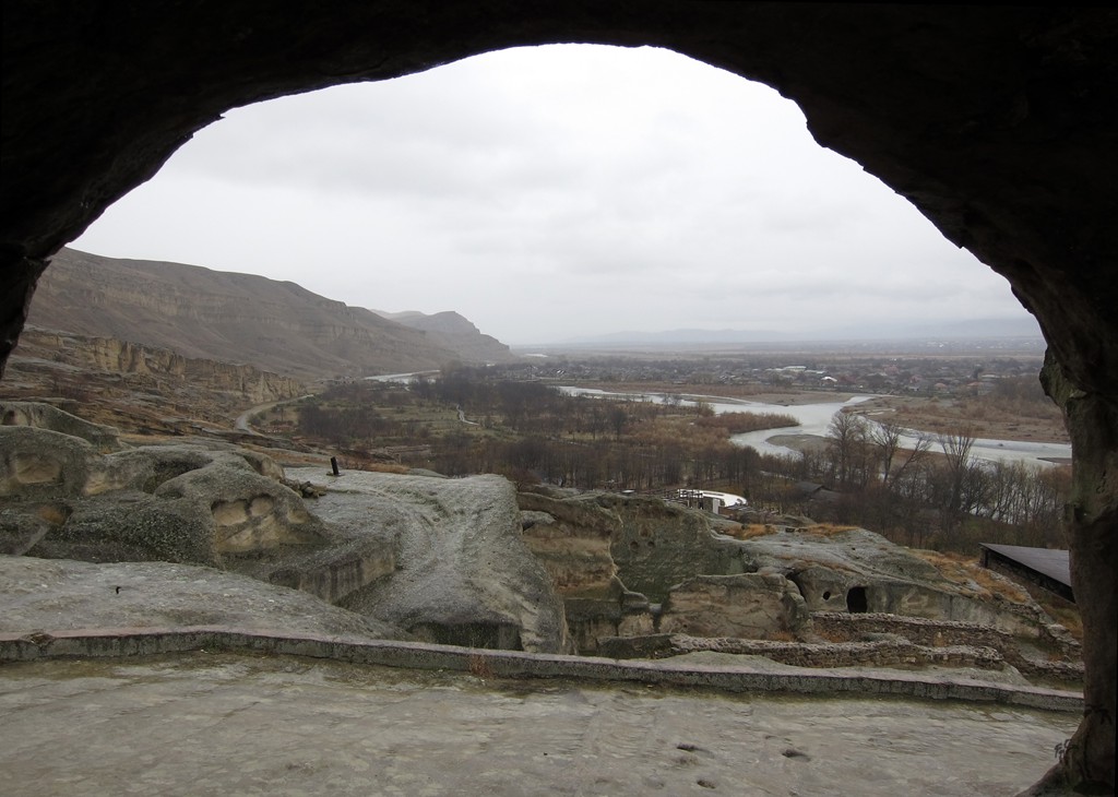
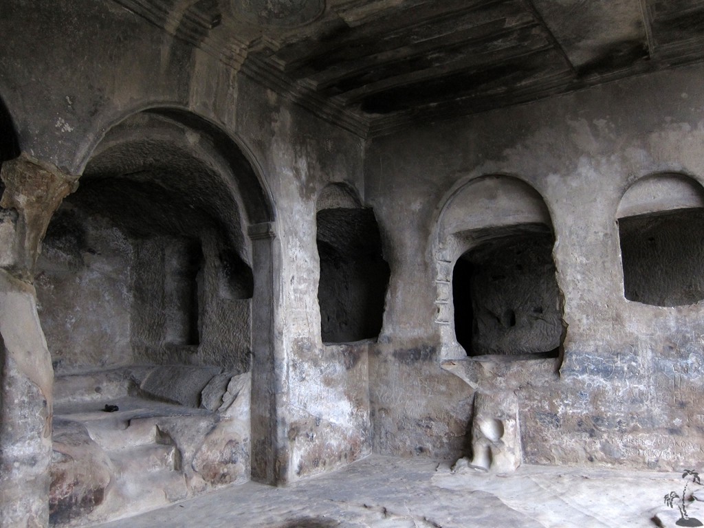
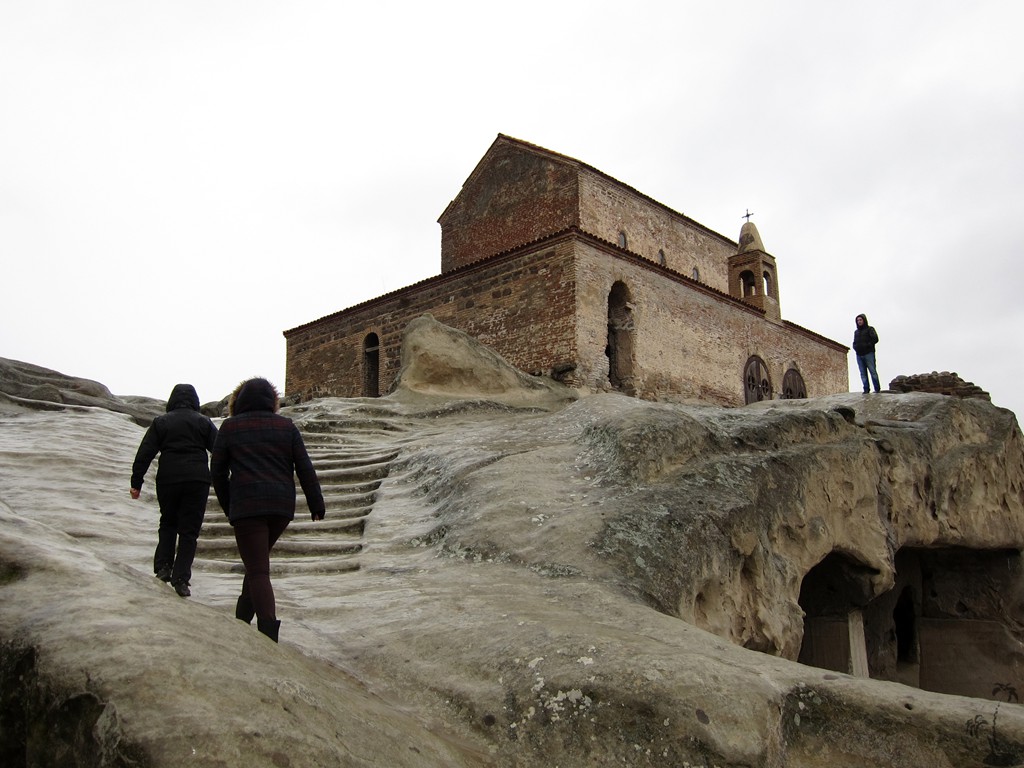
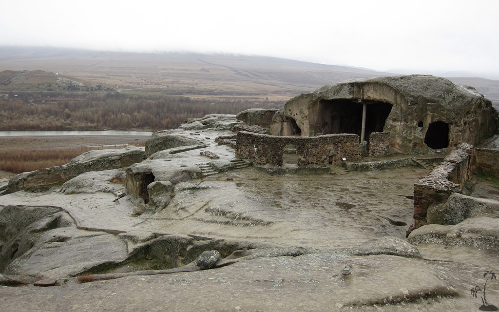
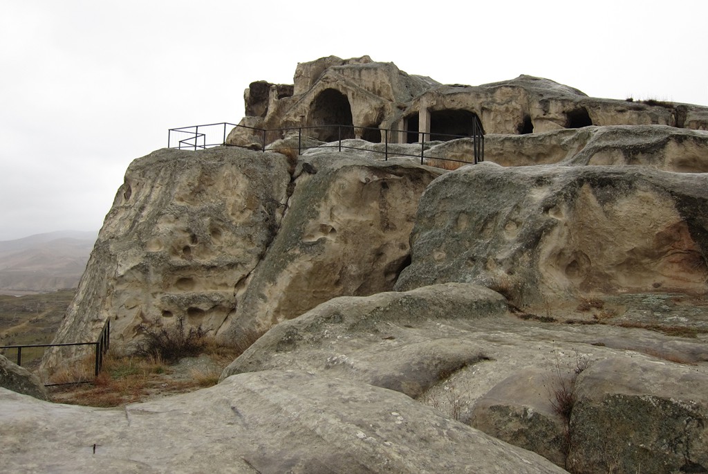
Uplistsikhe (Georgian: უფლისციხე; literally, "the lord's fortress") is an ancient rock-hewn town in eastern Georgia, some 10 kilometers east of the town of Gori, which happens to be Stalin's birthplace. Built on a high rocky left bank of the Mtkvari River, Uplistsikhe contains various structures dating from the Early Iron Age to the Late Middle Ages, and is notable for the unique combination of various styles of rock-cut cultures from Anatolia and Iran, as well as the co-existence of pagan and Christian architecture. It's on the UNESCO list.
Uplistsikhe is identified by archaeologists as one of the oldest urban settlements in Georgia. The fortress is mentioned in chronicles from earliest times. Strategically located in the heartland of ancient kingdom of Kartli (or Iberia as it was known), it emerged as a major political and religious center of Georgia.
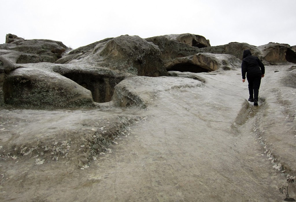
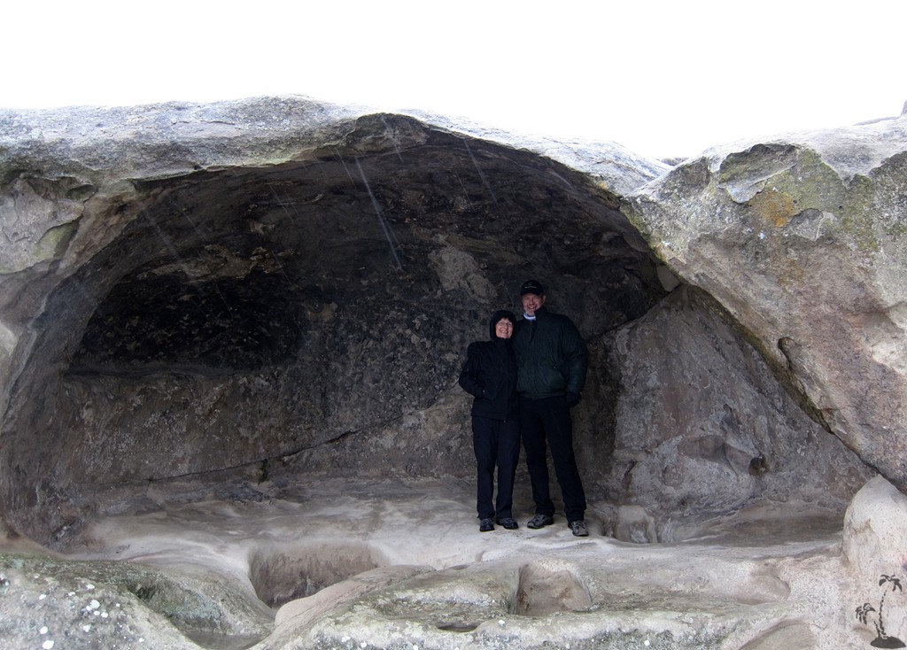
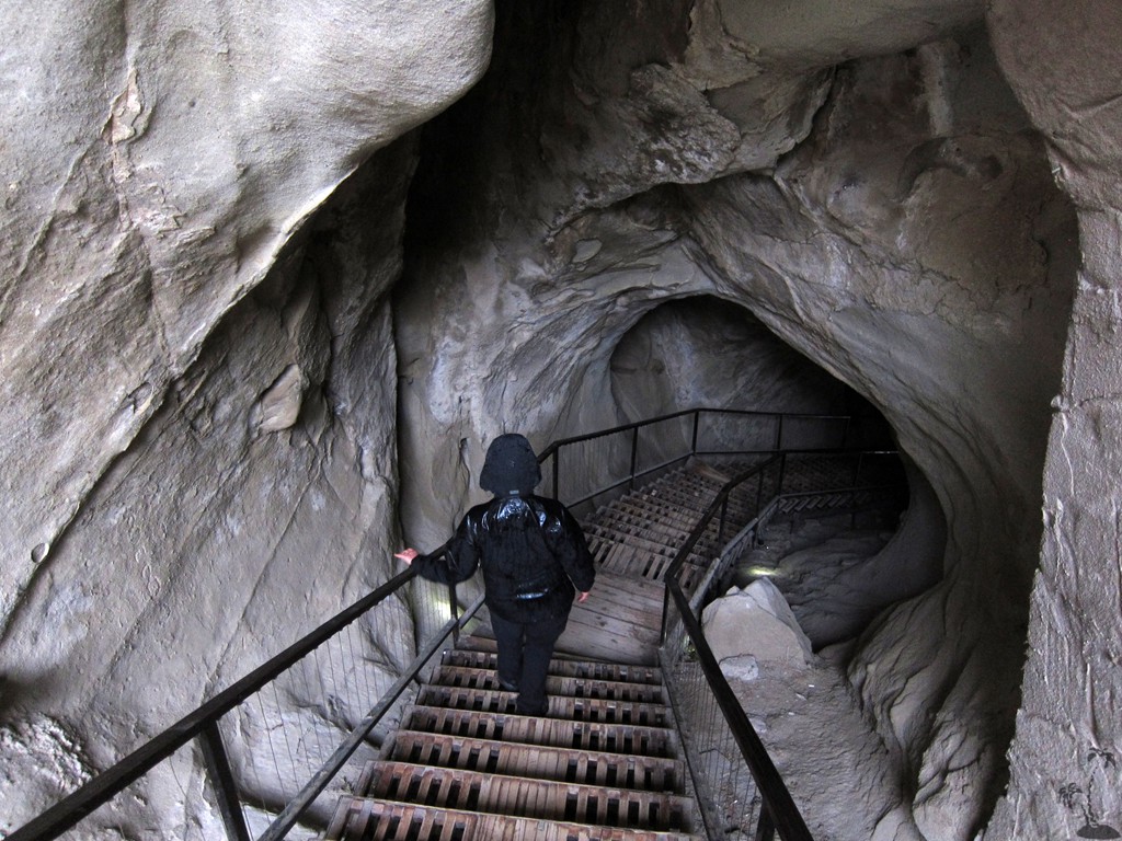
The majority of the Uplistsikhe caves are devoid of any decorations. The natural rock made it possible to create complex decorative compositions. Excavations have brought up artefacts of different epochs: beautiful golden, silver and bronze jewelry, magnificent samples of ceramics and sculptures, which can be admired in a small attached museum. On your way back down, don’t miss the long tunnel running down to the Mtkvari, an emergency escape route that could also have been used for carrying water up to the city.
Unfortunately we found ourselves in pouring rain, with little chance for a change in weather. Still, Uplistsikhe leaves an impression!
| Maximum altitude: | 626 meter |
| Minimum altitude: | 566 meter |
| Cumulative height: | 56 meter |
| Cumulative length: | 1.2 kilometer |
| Difficulty | very easy |
| Time: | A day (from Tbilisi) for the described monuments |
| Date of this record | December 2014 |
| Download GPS info: | Uplistsikhe |
General location and approach: Mtskheta and its monasteries can be visited from Tbilisi within a few hours. We continued to Uplistsikhe from there, which is very convenient.
Other Information: Facilities in Mtskheta are quite well developed; less so in Uplistsikhe
GPS and trailmaps: The map and trailinformation is generated by ![]() , based on GPS information collected from the actual hike. Waypoints can be downloaded to a GPS device from Wikiloc. If necessary, use GPSBabel to convert GPS data to different formats. For more hike descriptions by Palmtreetreeproduction, browse this website or visit Wikiloc and search for "Palmtreeproduction". You may also find nearby trails from other authors.
, based on GPS information collected from the actual hike. Waypoints can be downloaded to a GPS device from Wikiloc. If necessary, use GPSBabel to convert GPS data to different formats. For more hike descriptions by Palmtreetreeproduction, browse this website or visit Wikiloc and search for "Palmtreeproduction". You may also find nearby trails from other authors.
Google Earth: You may also view the trail in 3D by clicking "view in Google Earth" when on Wikiloc. You need to have Google Earth installed on your computer.