PALM TREE PRODUCTIONS
back to hikes and climbs back to Locations and Travel
Goli Vrh and Kosmač Castle
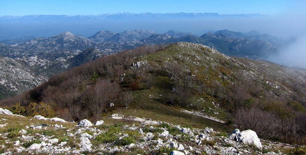
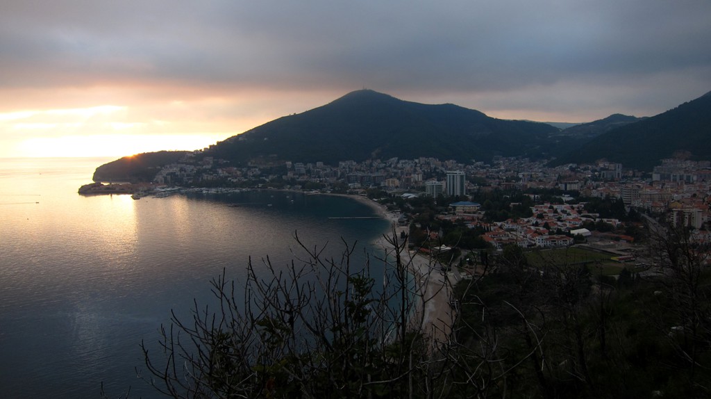
Summary: Goli Vrh is one of the easily accessible mountains near Budva, which provides excellent views across the coast and - provided there is fine weather - to the Shkodra Lake and the mountains along the border to Albania.
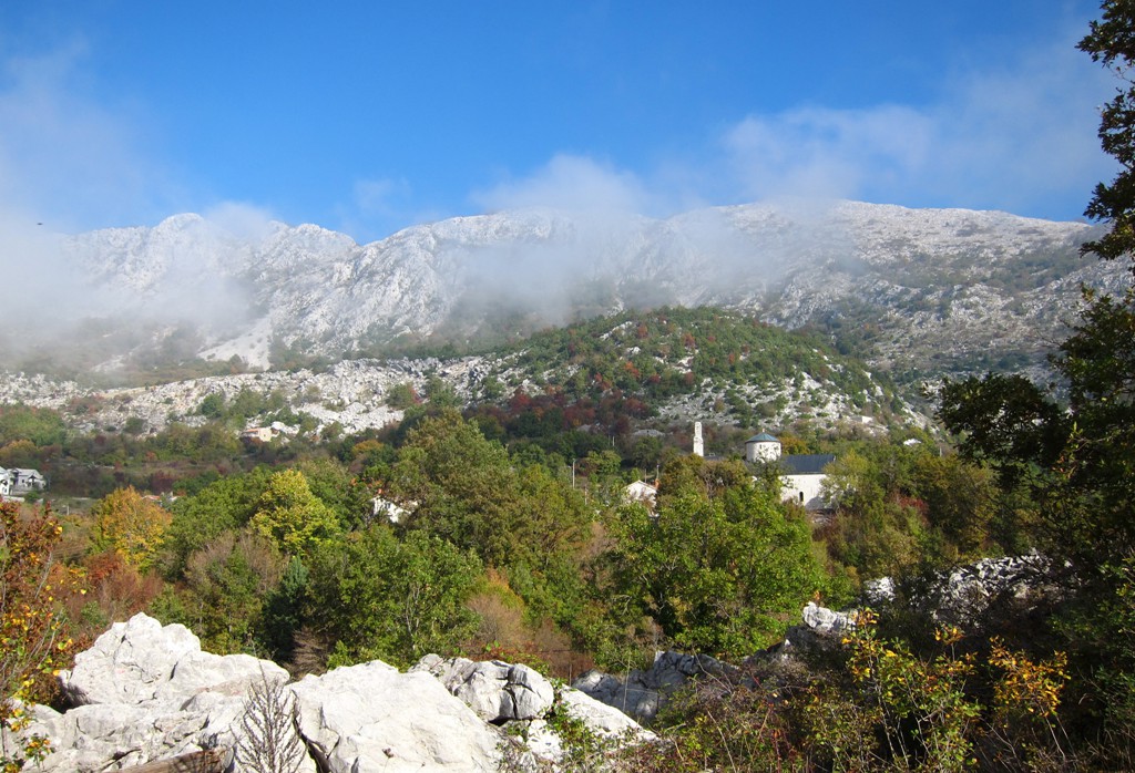
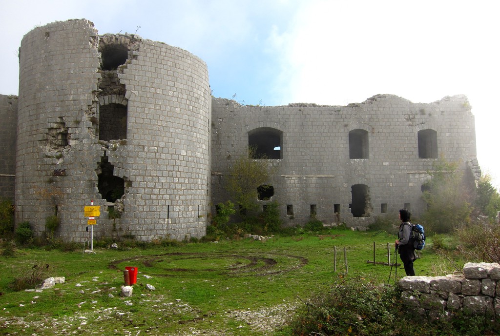
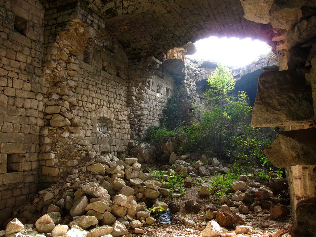
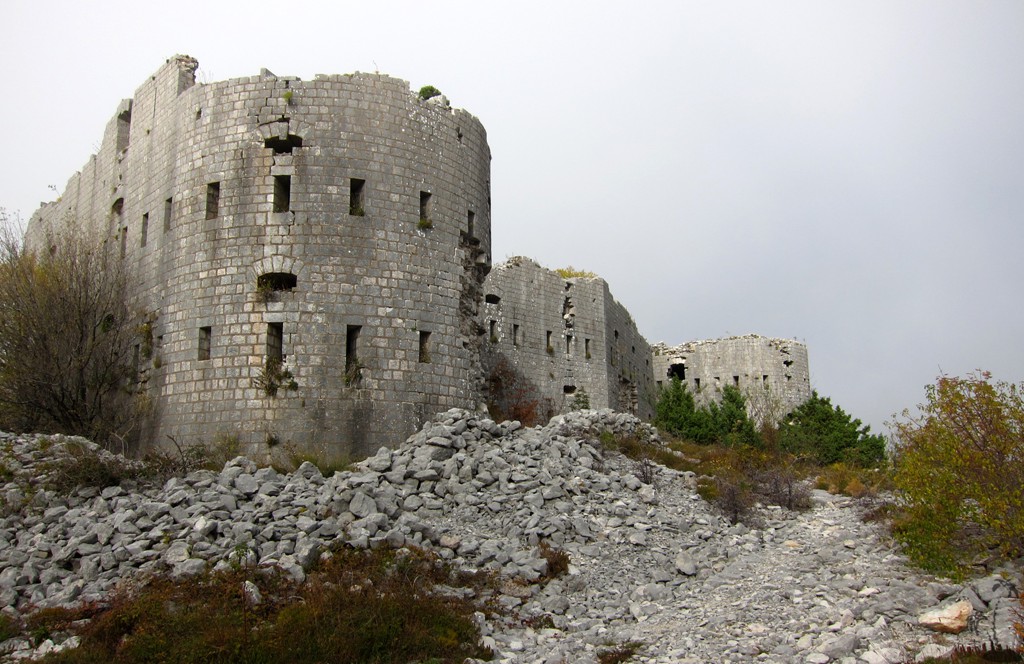
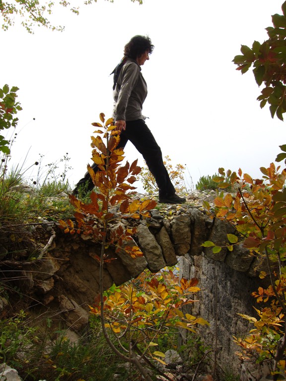
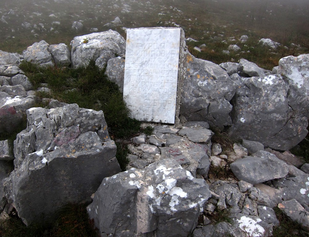
The hike, which starts at an altitude of about 750 Meter passes the old fortress of Kosmas. The castle is a ruin, but still looks imposing. It would also provide for a short hike for those with little time.
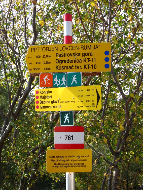
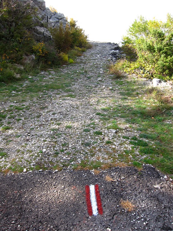
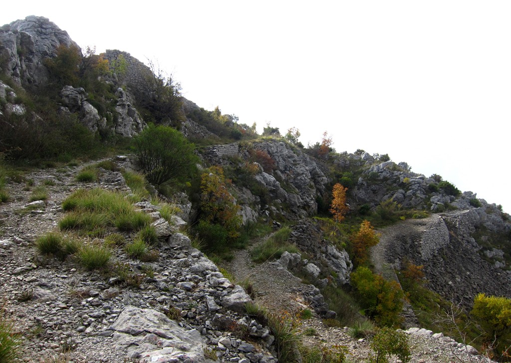
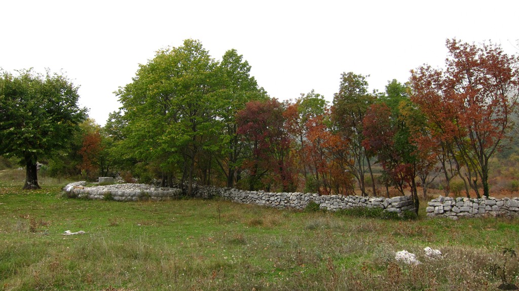
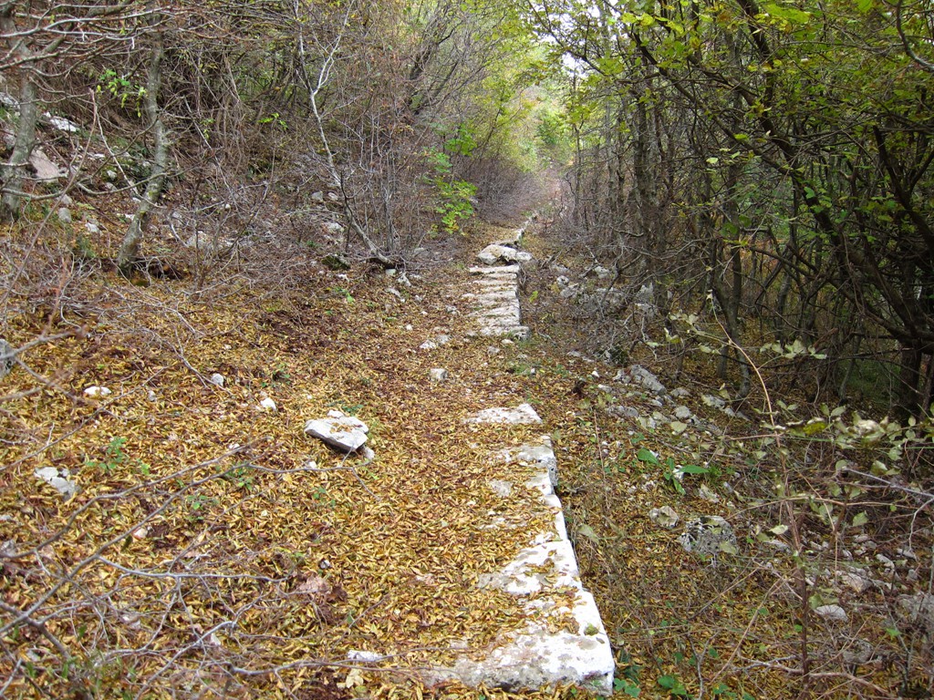
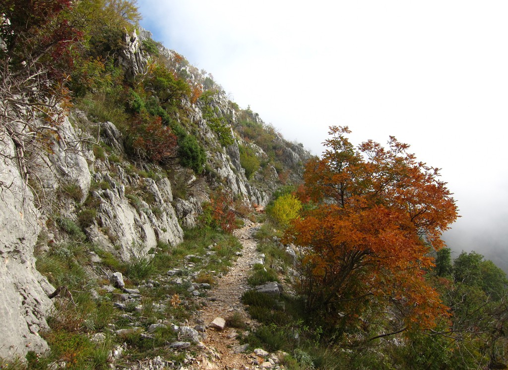
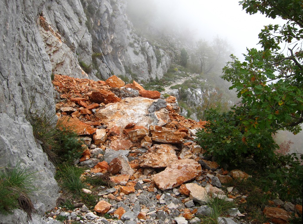
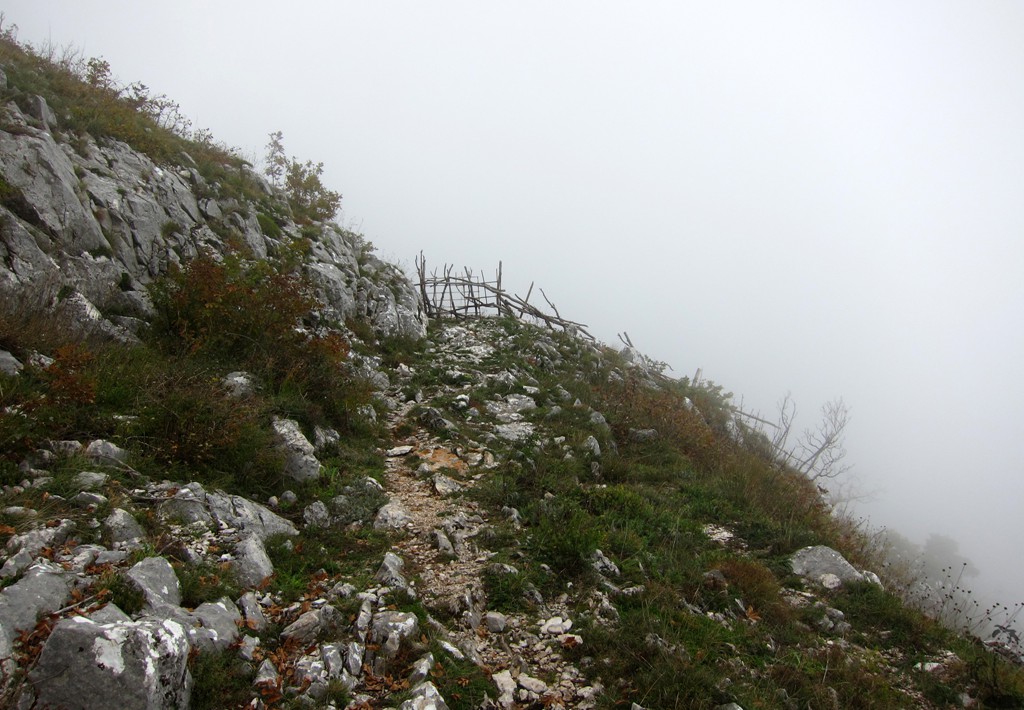
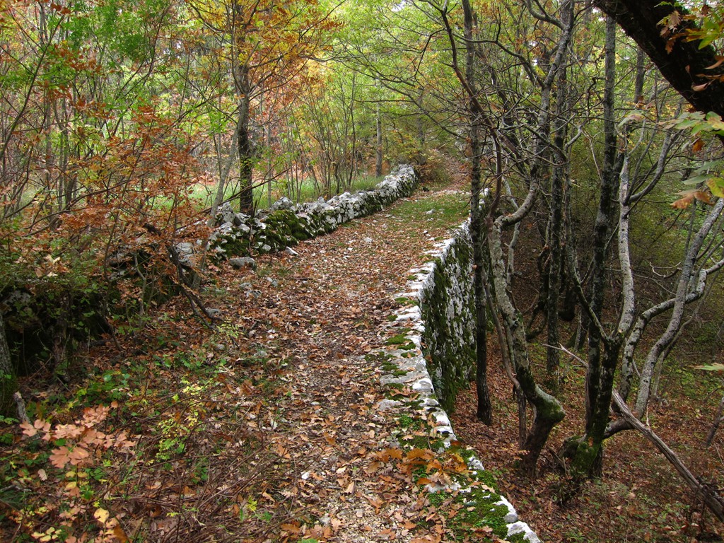
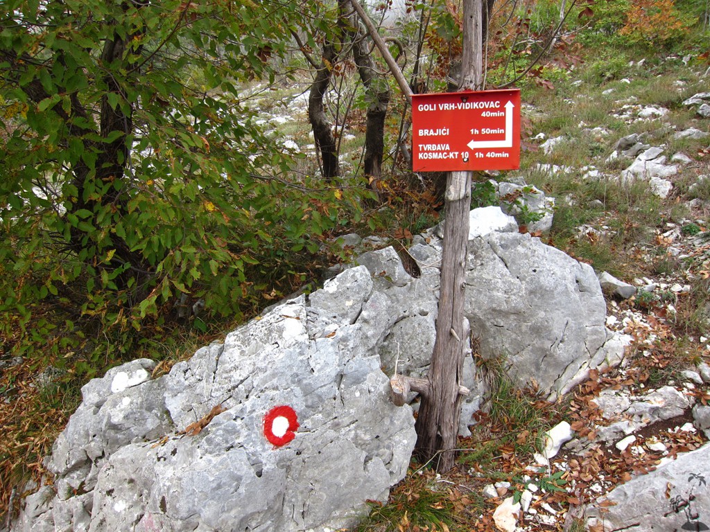
Much of the trail follows the Orjen-Rumija coastal trail. It is very well marked and there is little risk of getting lost. The trail follows old military roads, which later into the hike can become overgrown but remain well visible. The trail provides some visual drama, but is never really exposed.
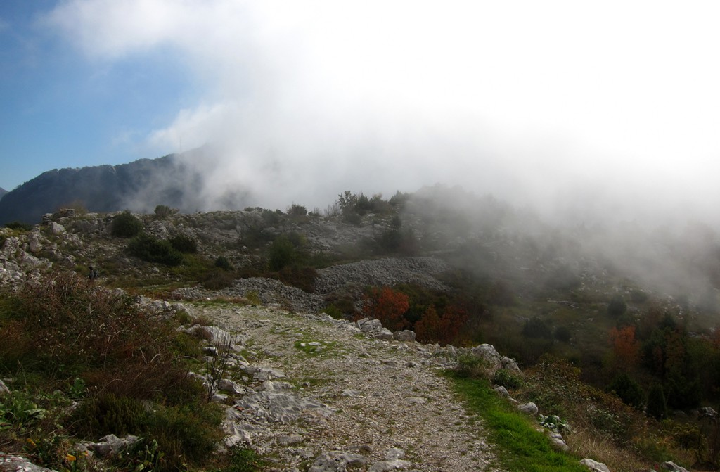
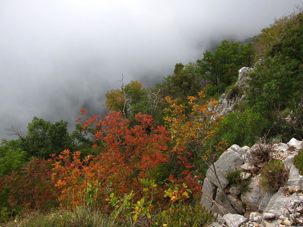
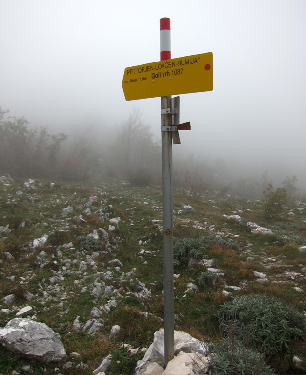
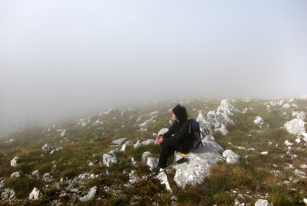
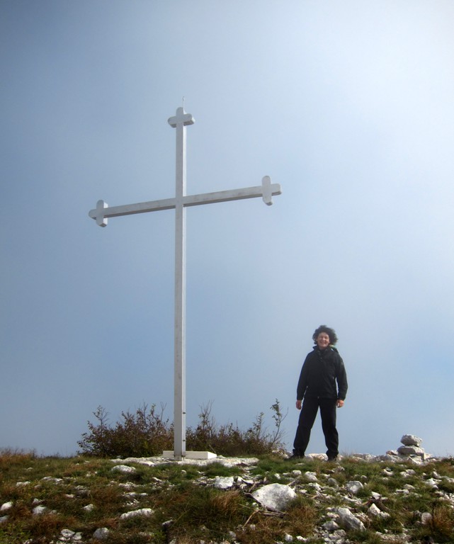
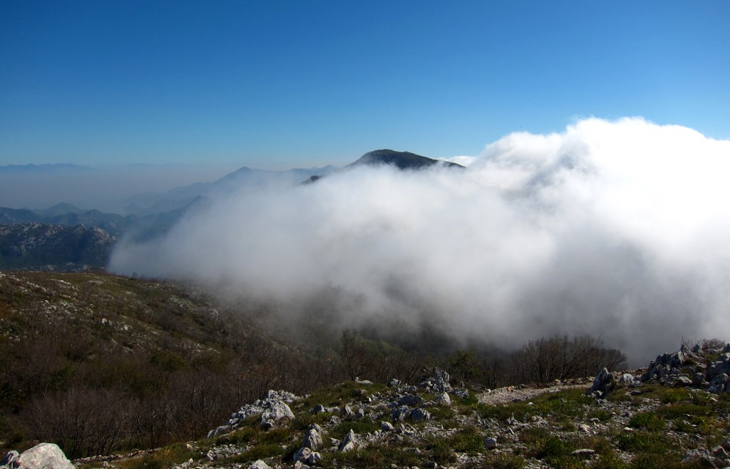
The final excursion to Goli Vrh departs from the long distance trail at well marked waypoints. From there, we couldn't find any markings any more. This was not a problem - in spite of thick clouds and poor visibility. Thankfully, the wind blew away the clouds at the summit, and we were able to enjoy the grandiose views. For the return, we took a slightly different route that eventually led us back to Kosmas Castle on the old military trail.
The trail more or less follows the description contained in the (German language) Montenegro hiking guide issued by the Rother publishing house.
| Maximum altitude: | 1075 meter | ||||||||||||||||||||||
| Minimum altitude: | 741 meter | ||||||||||||||||||||||
| Cumulative height: | 467 meter | ||||||||||||||||||||||
| Cumulative length: | 9.95 kilometer roundtrip | ||||||||||||||||||||||
Difficulty
| easy |
Time:
|
5 hours roundtrip |
Date of this record |
October 2013 |
Download GPS info: |
Goli Vrh |
|
| |
|
|
| |
|
|
|
|
|
|
|
|
|
|
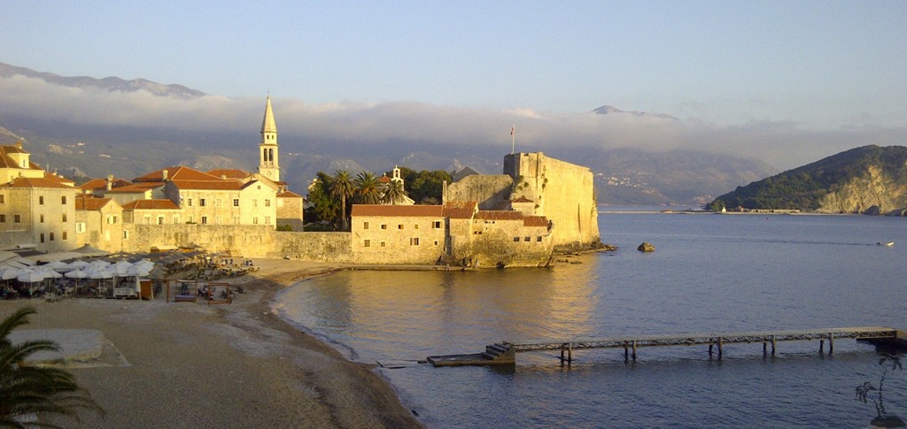
General location and approach: Near Budva
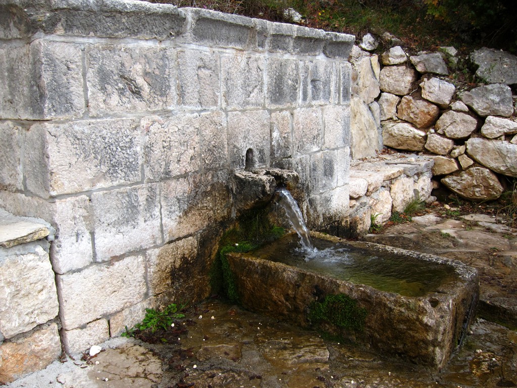
Other Information: There is a restaurant a few meters from the trailhead and carpark, in the direction of Cetenje
GPS and trailmaps:
The map and
trailinformation is generated by
![]() , based
on GPS information collected from the actual hike. Waypoints can be downloaded to a GPS device from Wikiloc. If necessary, use
GPSBabel to
convert GPS data to different formats. For more
hike descriptions by Palmtreetreeproduction, browse this
website or visit Wikiloc
and search for "Palmtreeproduction". You may also find
nearby trails from other authors.
, based
on GPS information collected from the actual hike. Waypoints can be downloaded to a GPS device from Wikiloc. If necessary, use
GPSBabel to
convert GPS data to different formats. For more
hike descriptions by Palmtreetreeproduction, browse this
website or visit Wikiloc
and search for "Palmtreeproduction". You may also find
nearby trails from other authors.
Google Earth: You may also view the trail in 3D by clicking "view in Google Earth" when on Wikiloc. You need to have Google Earth installed on your computer.