PALM TREE PRODUCTIONS
back to Albania site back to hikes and climbs back to Locations and Travel
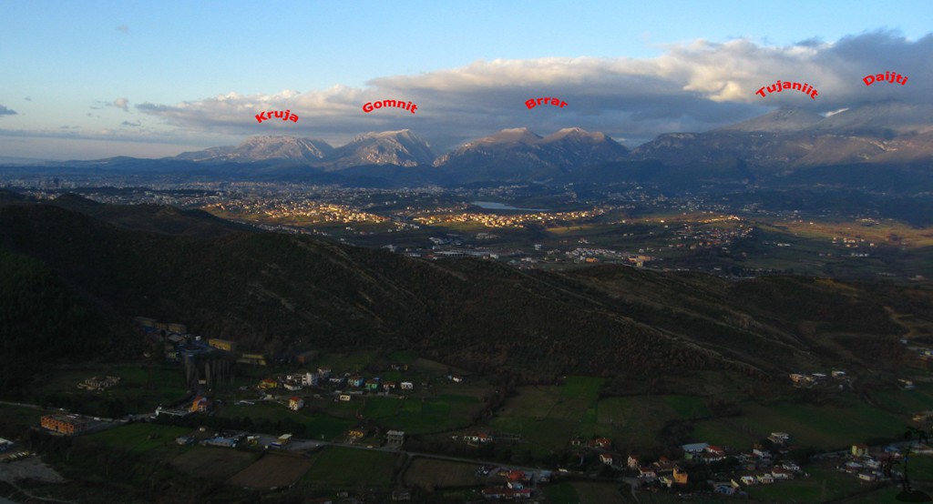
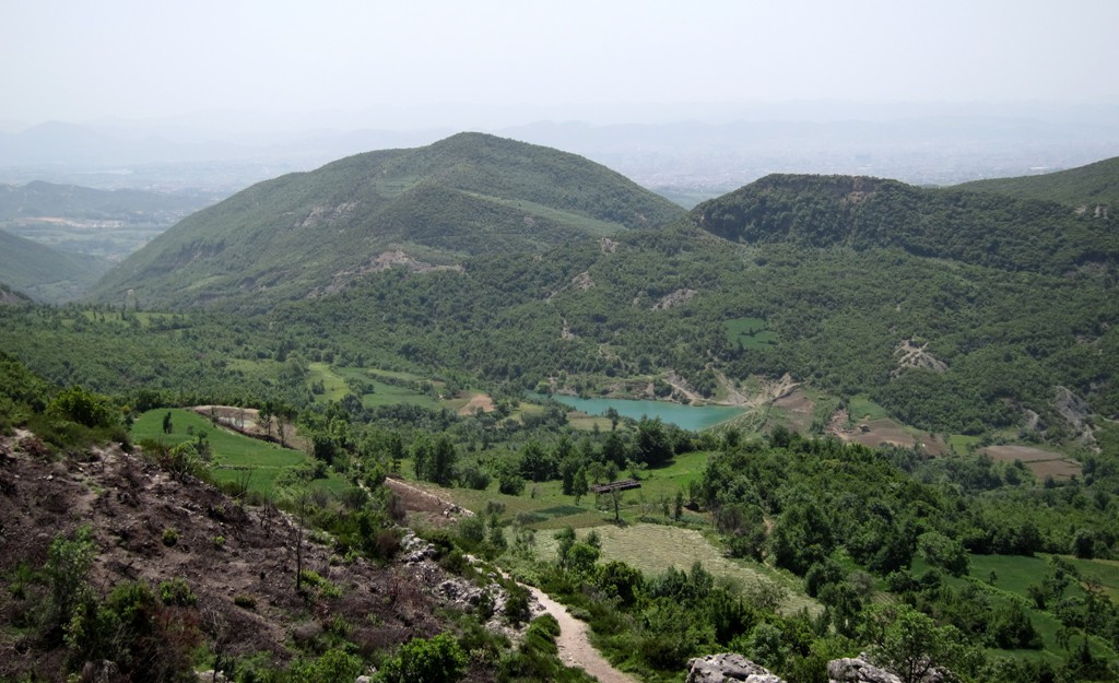
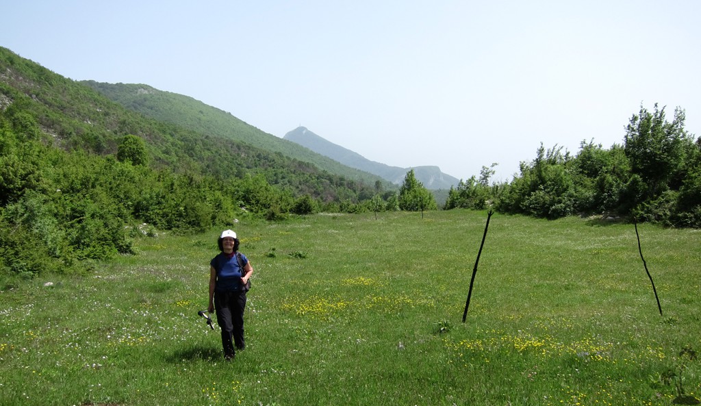
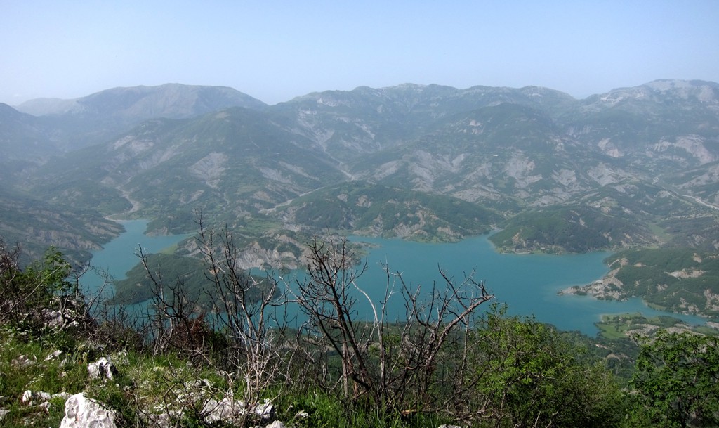
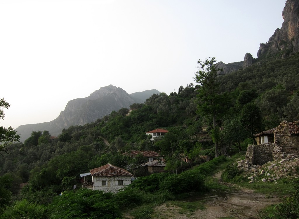
Brar North Summit from PeV![]()
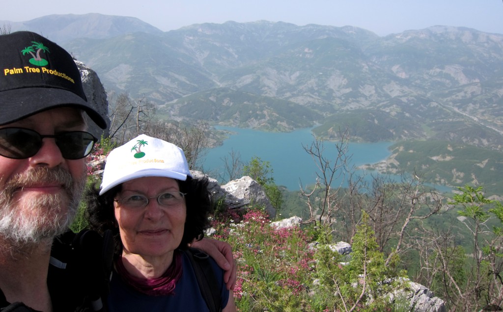
Summary: Mali i Brarit is the source of endless delight.
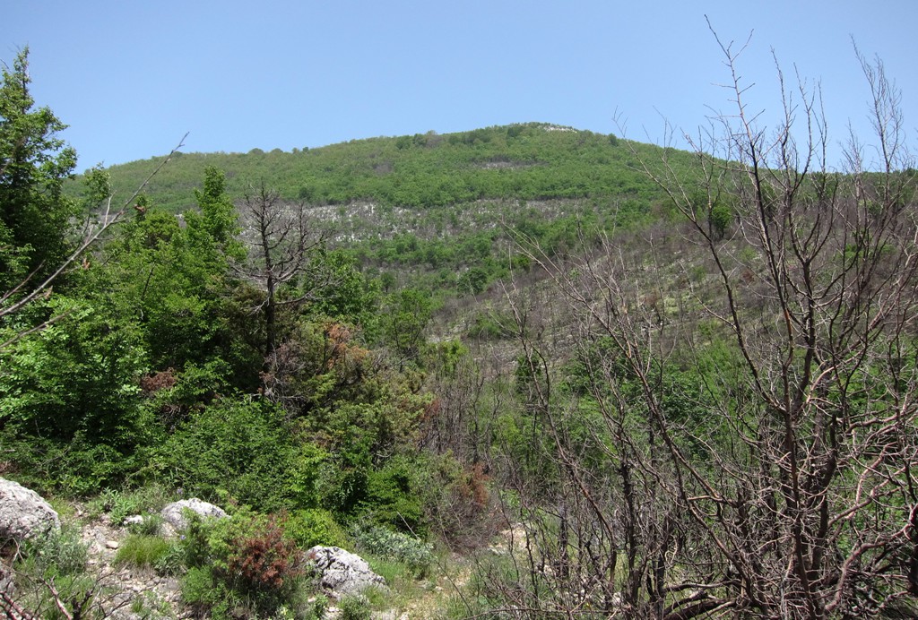
Mali i Brarit has been the mountain to which we returned most
frequently, and which we enjoyed every time.
From the west, Brar Mountain can be climbed from either Brar village
or Priske e Vogël - or PeV in case you wondered.
The normal route to the plateau and either of the summits of Brar is
one of the best mountain paths (if not THE BEST mountain path) in
the vicinity of Tirana. For instance, check out the following trails
to Brar Main
summit and Brar
Mountain Pass (with return on the Arber road).
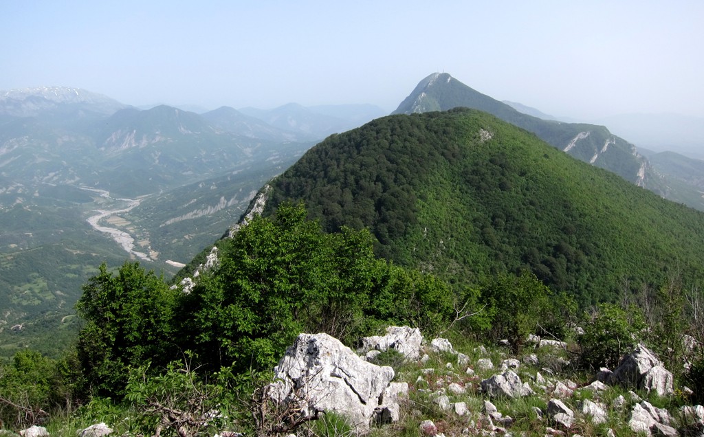
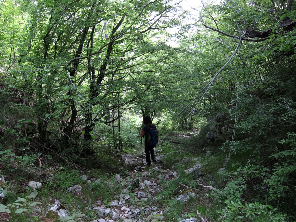
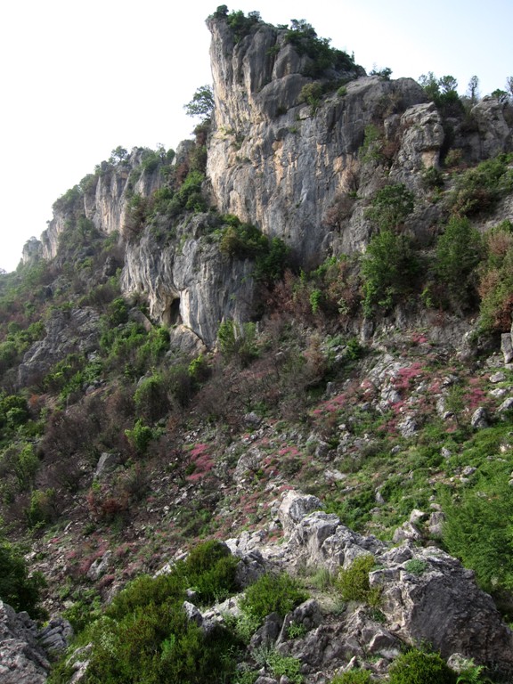
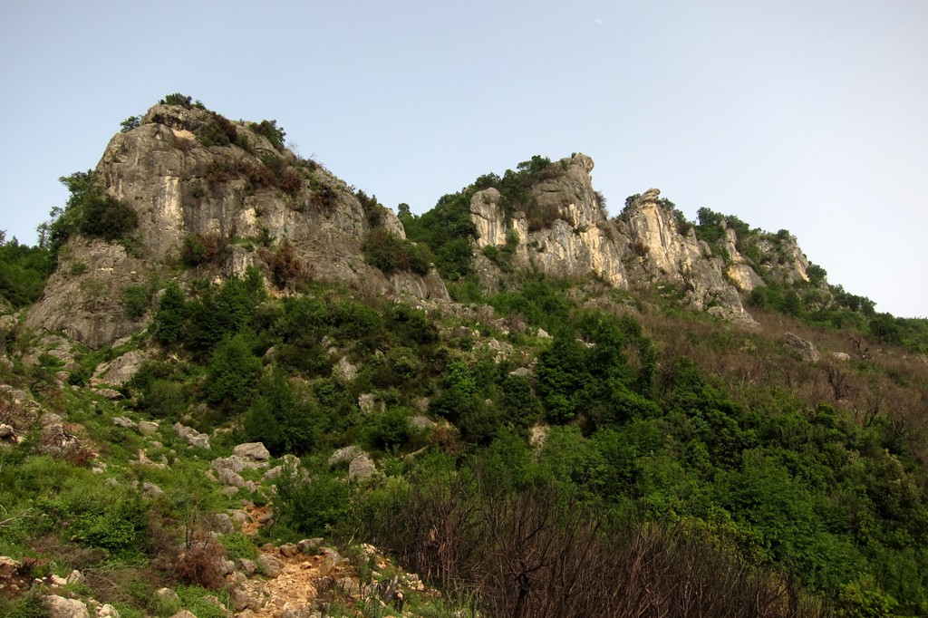
For our ascent of the northern Summit of Brar we selected a new
trail, that leads more direct from PeV to the grazing areas on the
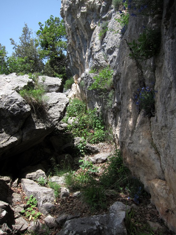
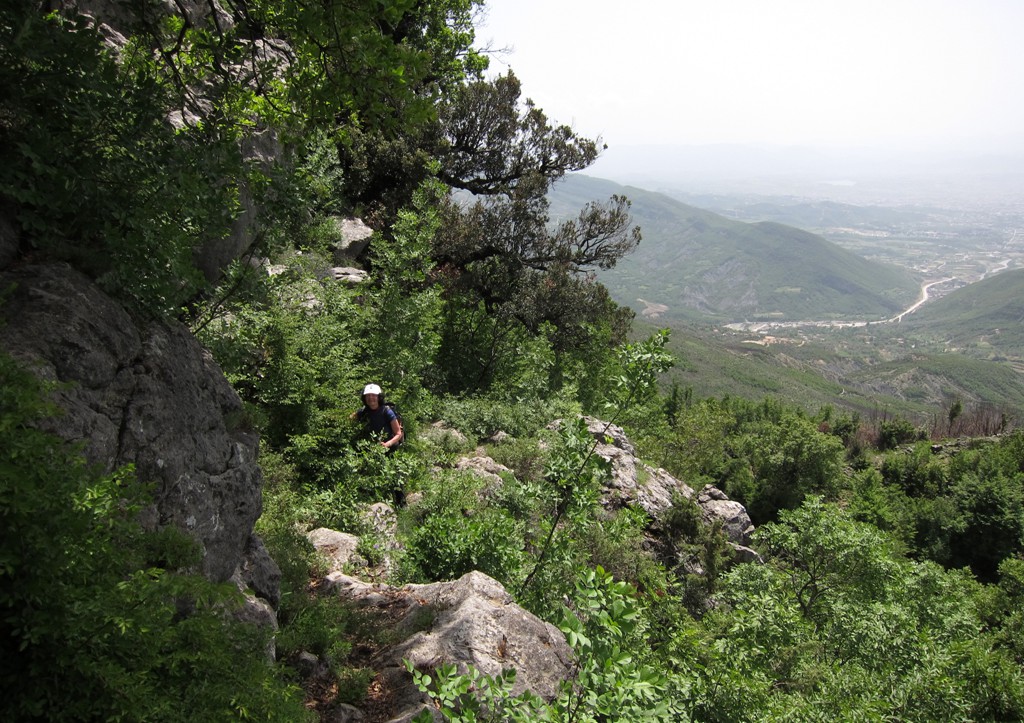
plateau, and then reaches the summit via its northwest ridge. The
path is quite exciting, and ingeniously laid out into the rocky west
face of Brar. A few spots make you wonder whether you'll ever get
out of it, just to reveal a new twist and turn until you reach the
plateau.
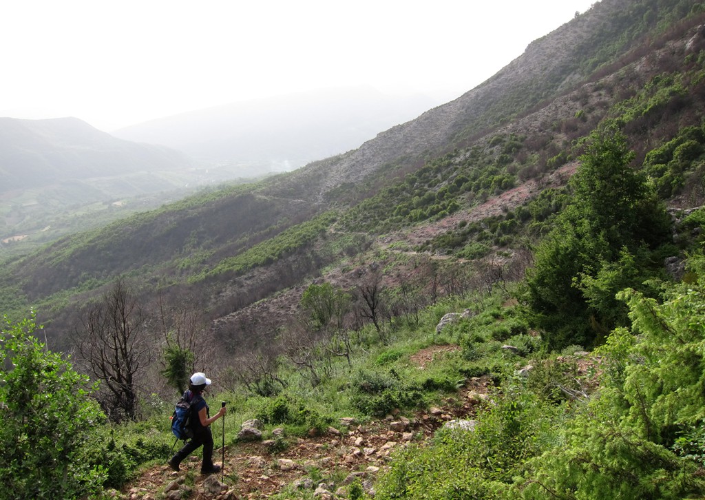
For the return hike, descended south until we reached the trail that
leads to the pass between the twin summit of Brar Mountain.
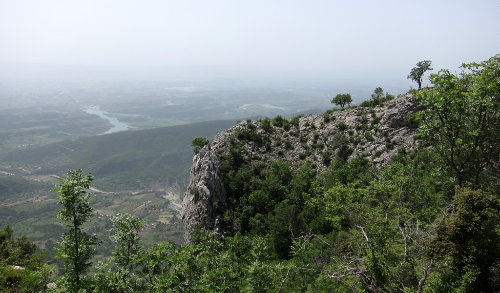
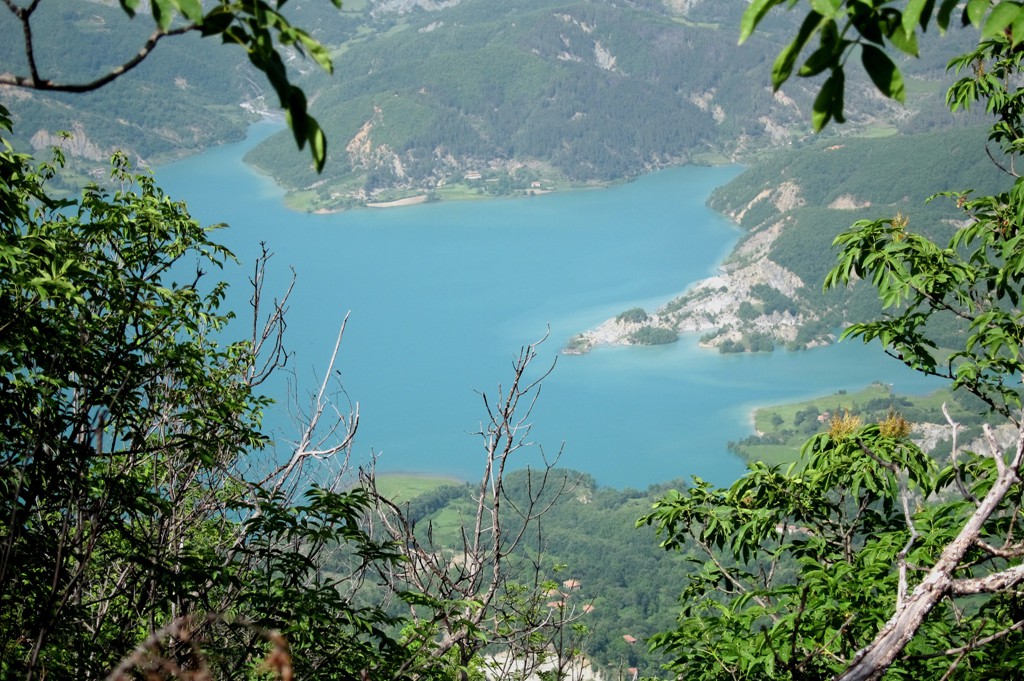
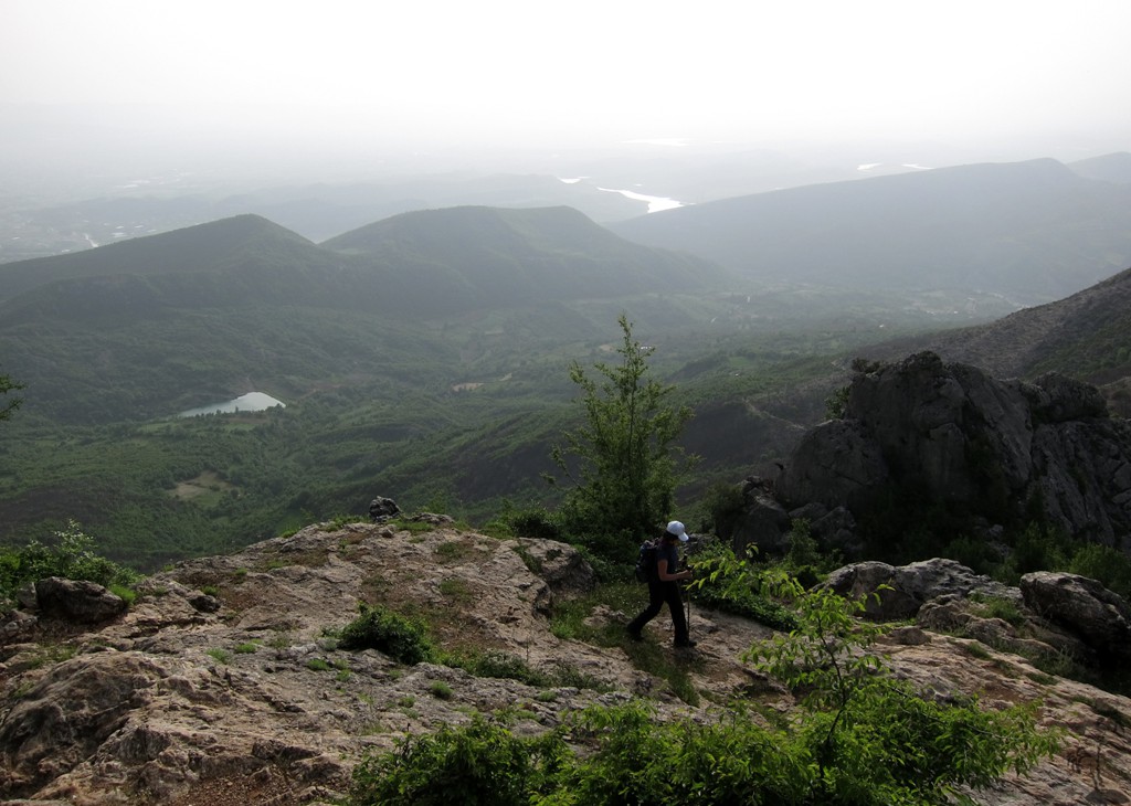
For this hike we picked the most hazy day of 2013 (so far), so the
images are not what they could have been otherwise. But it didn't
take away from the hike!
The Drive to the trailhead: From Kamez (Tirana) to Priske e Vogel. A regular car will do except for the final hundred meter or so in the village itself, for which some extra ground clearance might be required.
| Maximum altitude: | 371 meter |
| Minimum altitude: | 66 meter |
| Cumulative height: | 310 meter |
| Cumulative length: | 11.8 kilometers |
| Difficulty | easy |
| Time: | 40 minutes |
| Date of this record | May 2013 |
| Download GPS info: | Drive to Priske e Vogel |
The Hike: The trail between the "soccer field" to the summit and down to the path between the two summits is a light buhwhack.
| Maximum altitude: | 1237 meter |
| Minimum altitude: | 375 meter |
| Cumulative height: | 868 meter |
| Cumulative length: | 7.73 kilometers |
| Difficulty | moderate |
| Time: | 6 hours |
| Date of this record | May 2013 |
| Download GPS info: | Brar North from PeV |
General location and approach: Brar Mountain is north of Dajti, und unmistaken with its twin summit.
Other Information: Water is scarce in summer.
GPS and trailmaps: The map and
trailinformation is generated by
![]() , based
on GPS information collected from the actual hike. Waypoints
can be downloaded to a GPS device from Wikiloc. If necessary, use
GPSBabel to
convert GPS data to different formats. For more
hike descriptions by Palmtreetreeproduction, browse this
website or visit Wikiloc
and search for "Palmtreeproduction". You may also find
nearby trails from other authors.
, based
on GPS information collected from the actual hike. Waypoints
can be downloaded to a GPS device from Wikiloc. If necessary, use
GPSBabel to
convert GPS data to different formats. For more
hike descriptions by Palmtreetreeproduction, browse this
website or visit Wikiloc
and search for "Palmtreeproduction". You may also find
nearby trails from other authors.
Google Earth: You may also view the trail in 3D by clicking "view in Google Earth" when on Wikiloc. You need to have Google Earth installed on your computer.