PALM TREE PRODUCTIONS
back to Albania site back to hikes and climbs back to Locations and Travel
Cajup![]()
![]() i
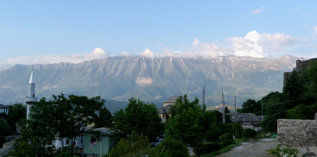
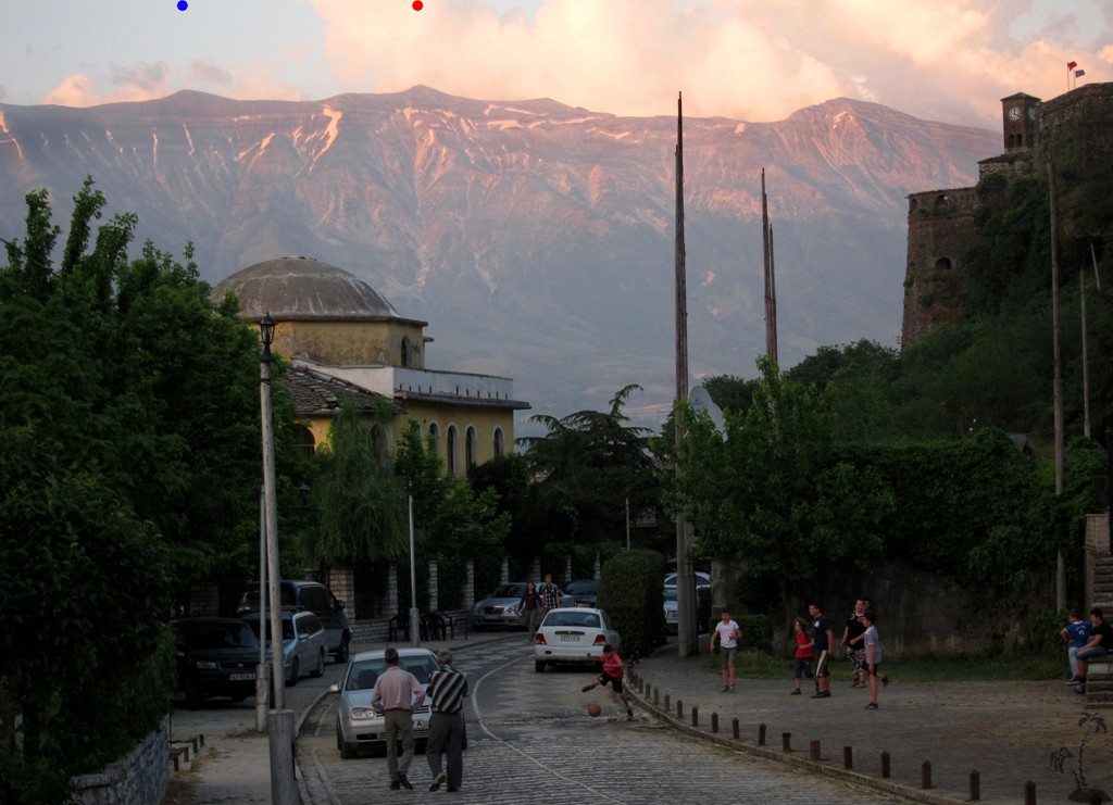
Mountain (Mali i Lunxherisë)
i
Mountain (Mali i Lunxherisë)
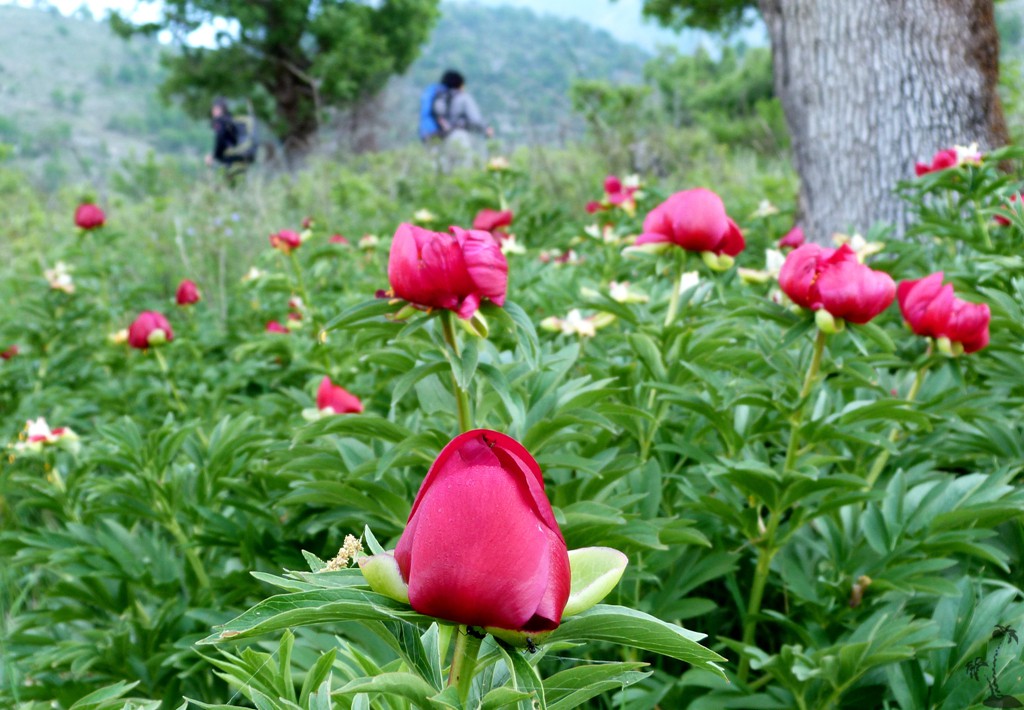
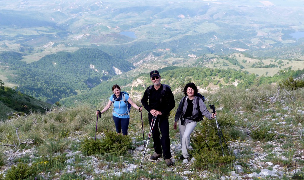
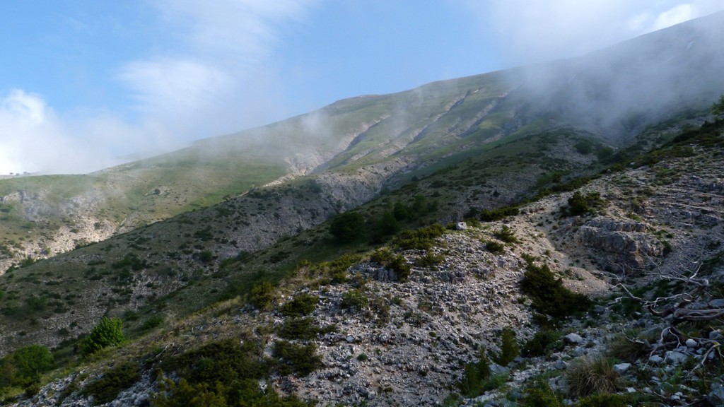
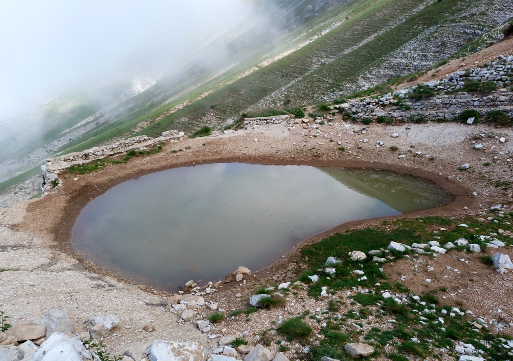
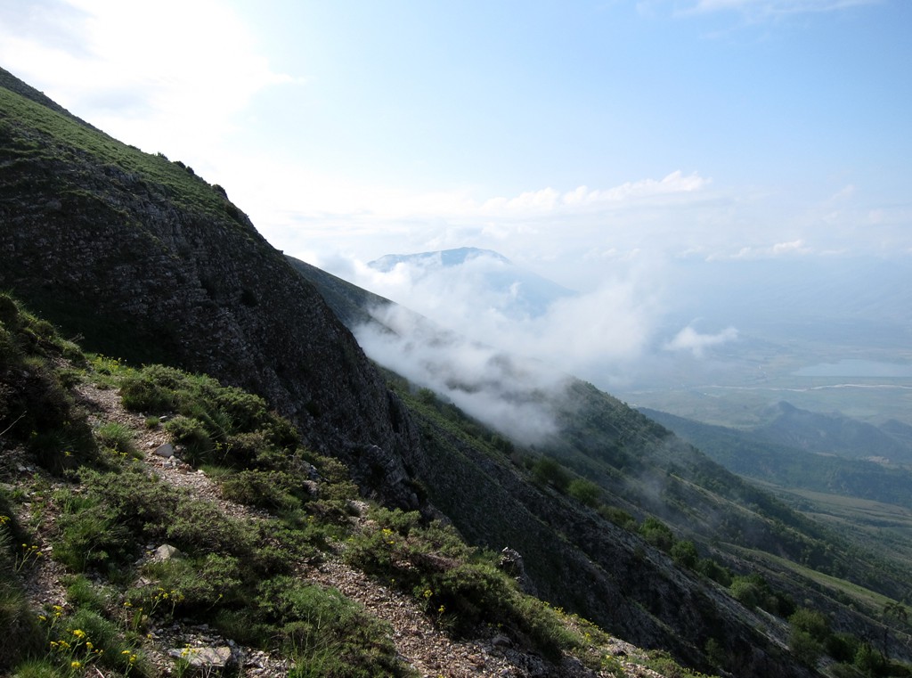
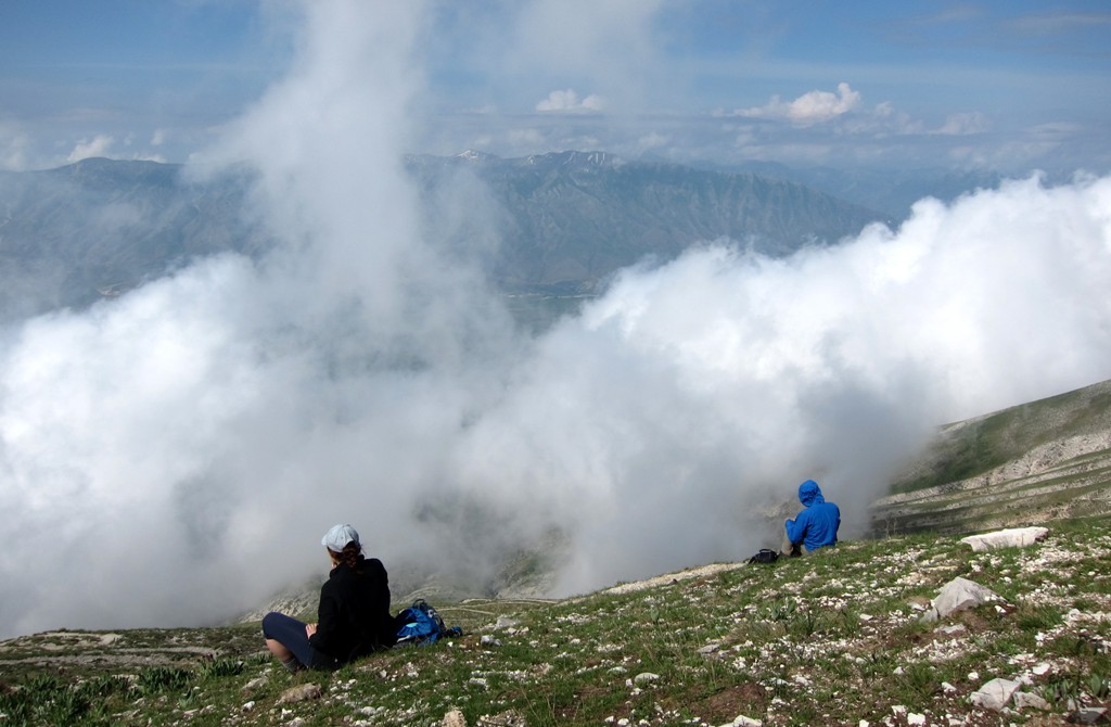
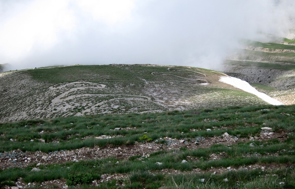
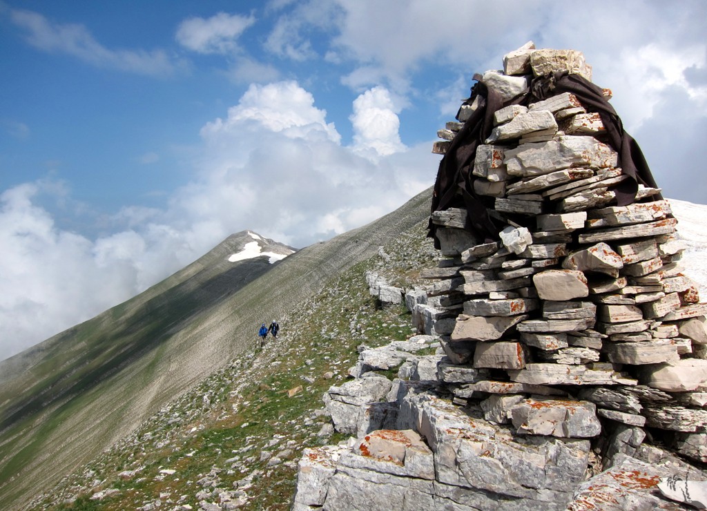
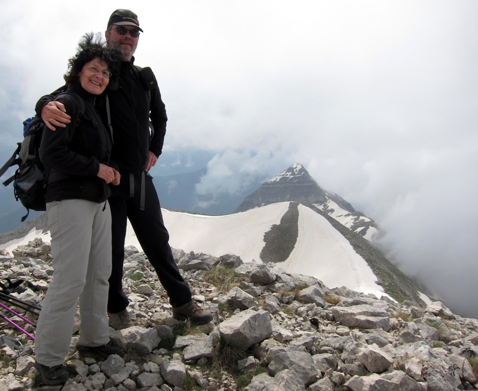
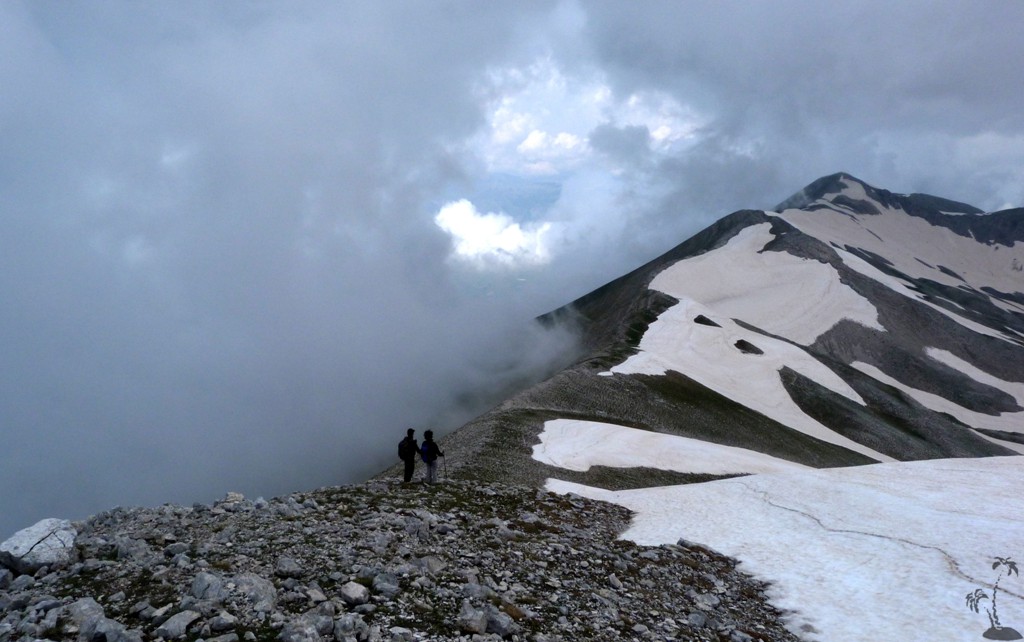
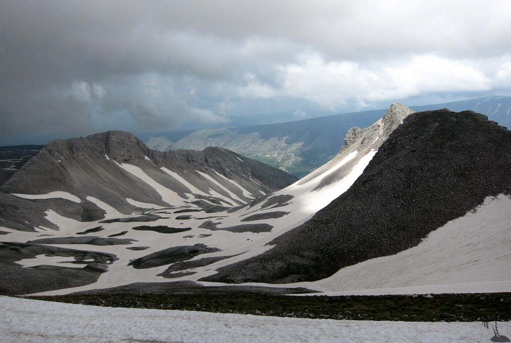
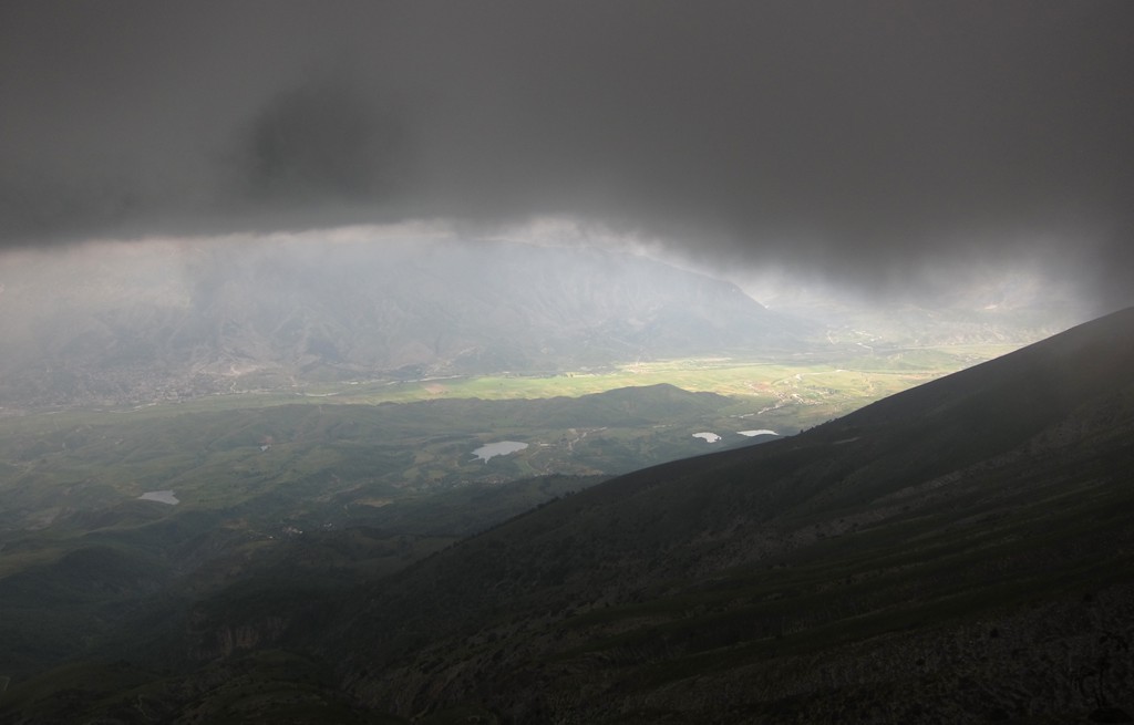
Summary: When in Gjirokaster, Cajupi is right in your face, and the people of Gjirokaster get excited when talking about it - or hearing about your intention to make it to its summit. Still, we are not aware that Cajupi is climbed very often by visitors, though shepherds are going there regularly as evidenced by the many water holes on and behind the mountain. Shepherd and dog activity start only when the snow is gone, and an earlier time of the year might be advisable. May seems to be perfect.
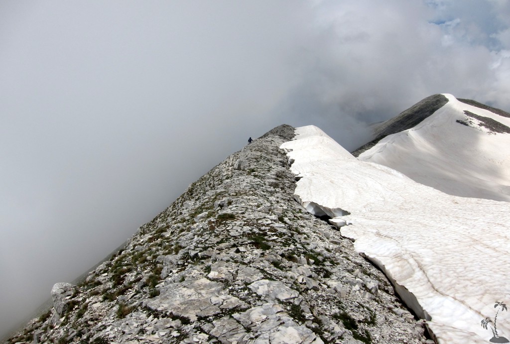
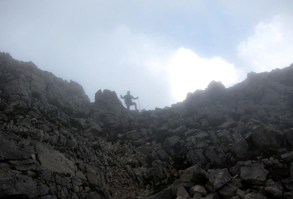
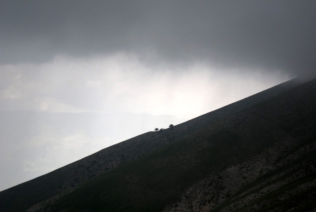
The west face of Cajupi is fairly steep, and the ascent while not difficult is not for those not accustomed to heights. Perhaps this is a reason why Cajupi doesn't see many visitors, or does not appear in the guidebooks.
An early start is advisable..
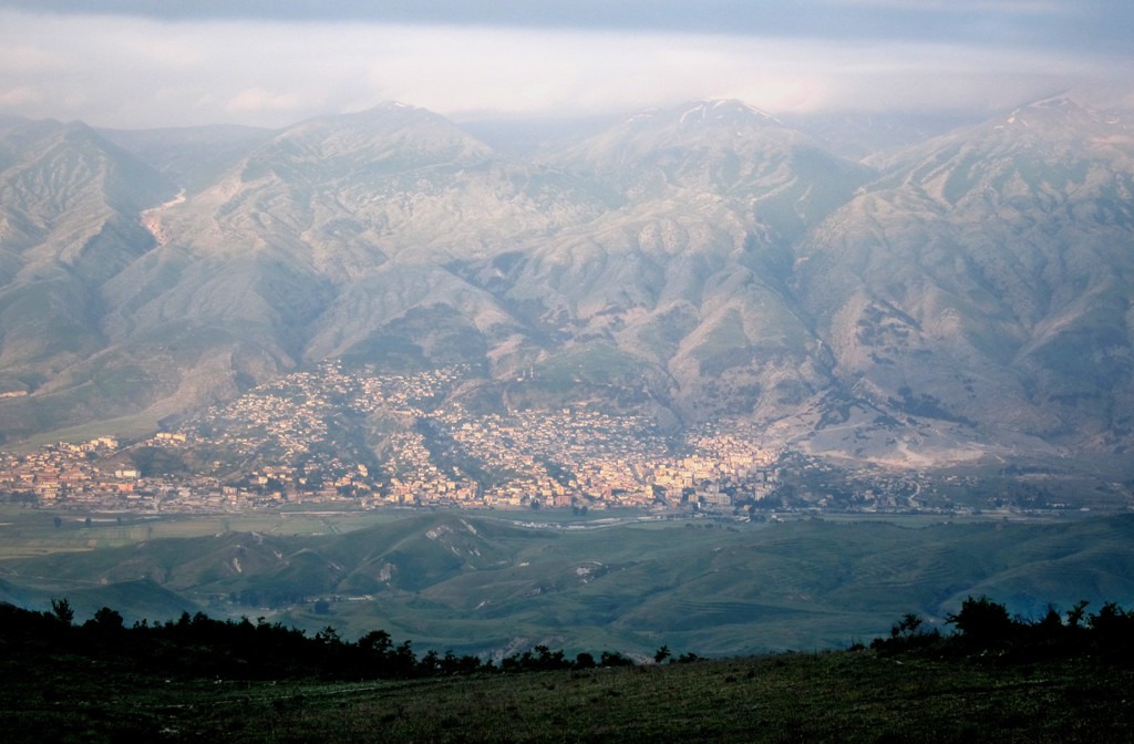
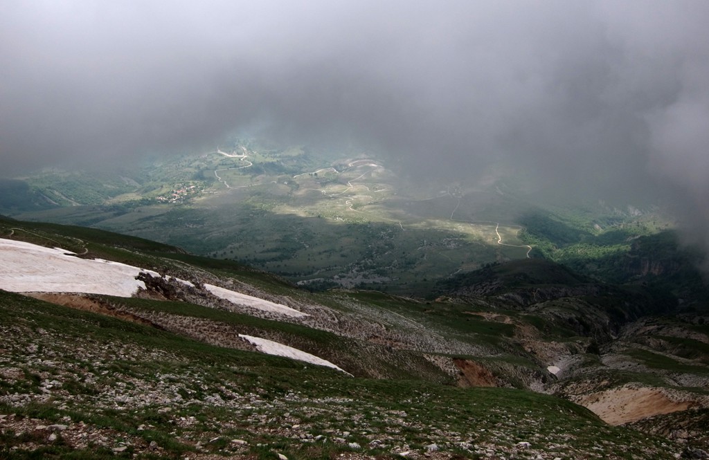
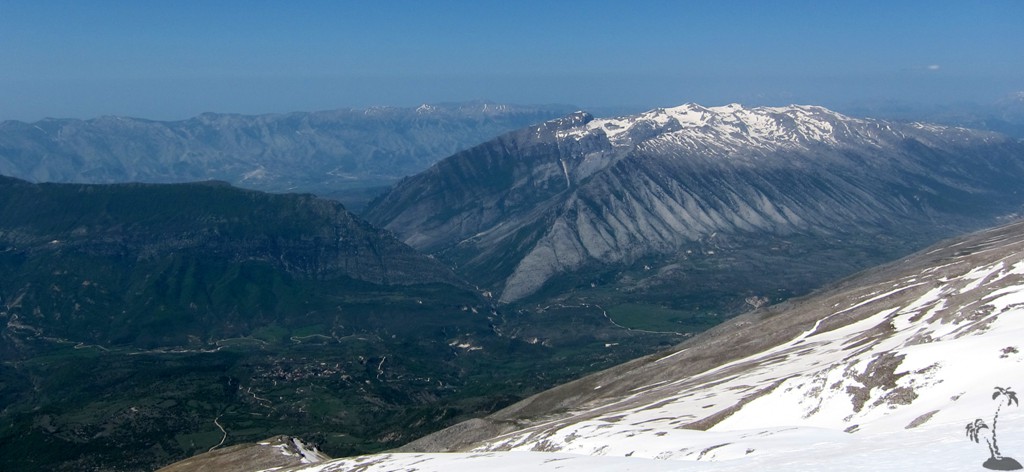
The Drive: The trailhead can be comfortably reached from Gjirokaster in about 40 minutes, which removes the need for a camp at the trailhead. Only the last 2.5 kilometer are on a dirt road. With care, a 4WD would not be necessary.
| Maximum altitude: | 900 meter |
| Minimum altitude: | 190 meter |
| Cumulative height: | 713 meter |
| Cumulative length: | 15 kilometer |
| Difficulty | easy |
| Time: | 40 minutes |
| Date of this record | May 2013 |
| Download GPS info: | To Cajup trailhead |
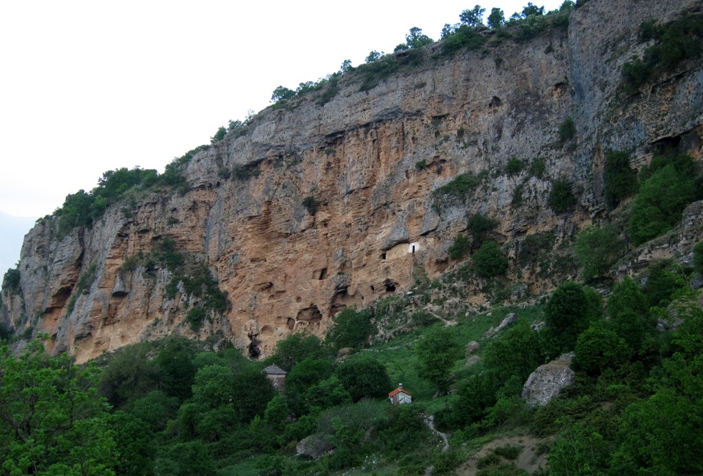
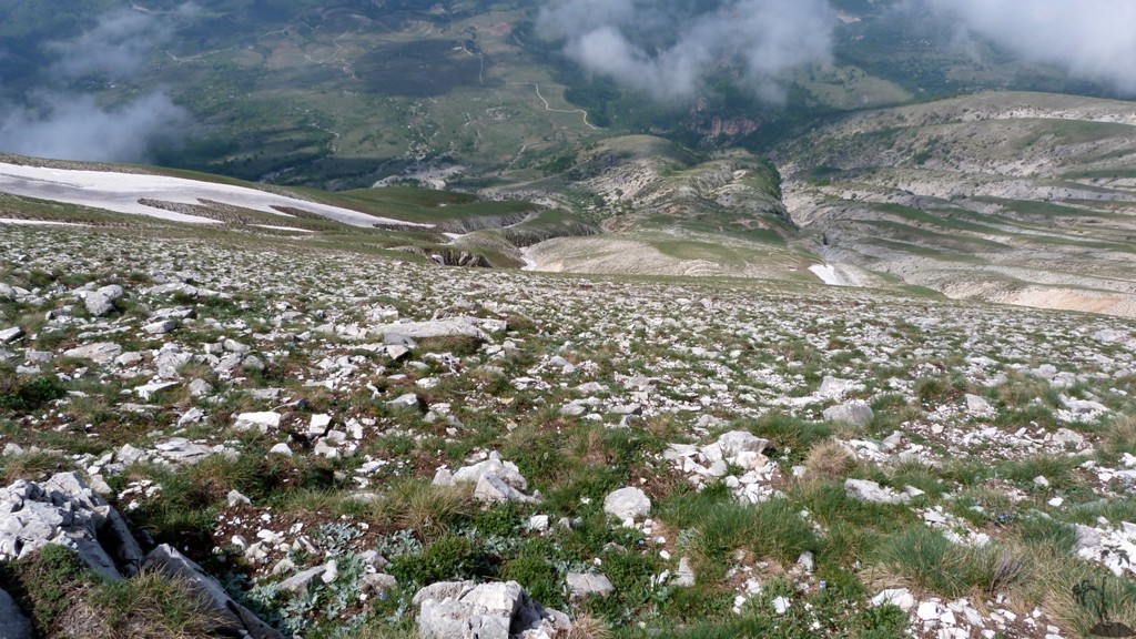
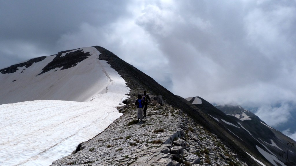
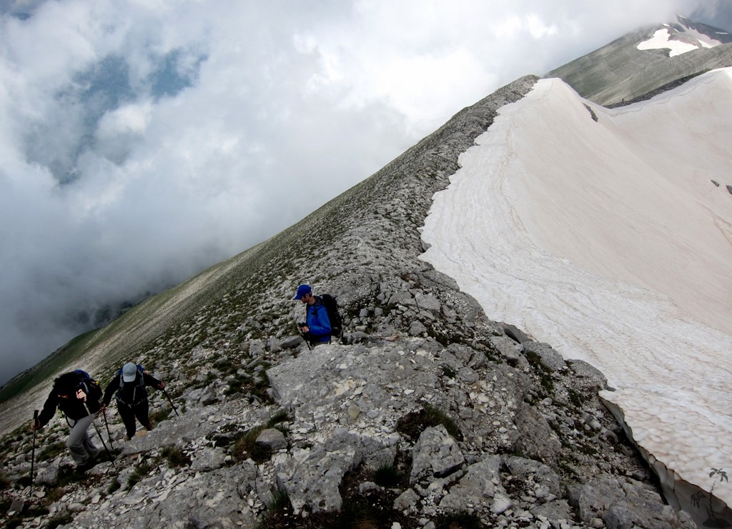
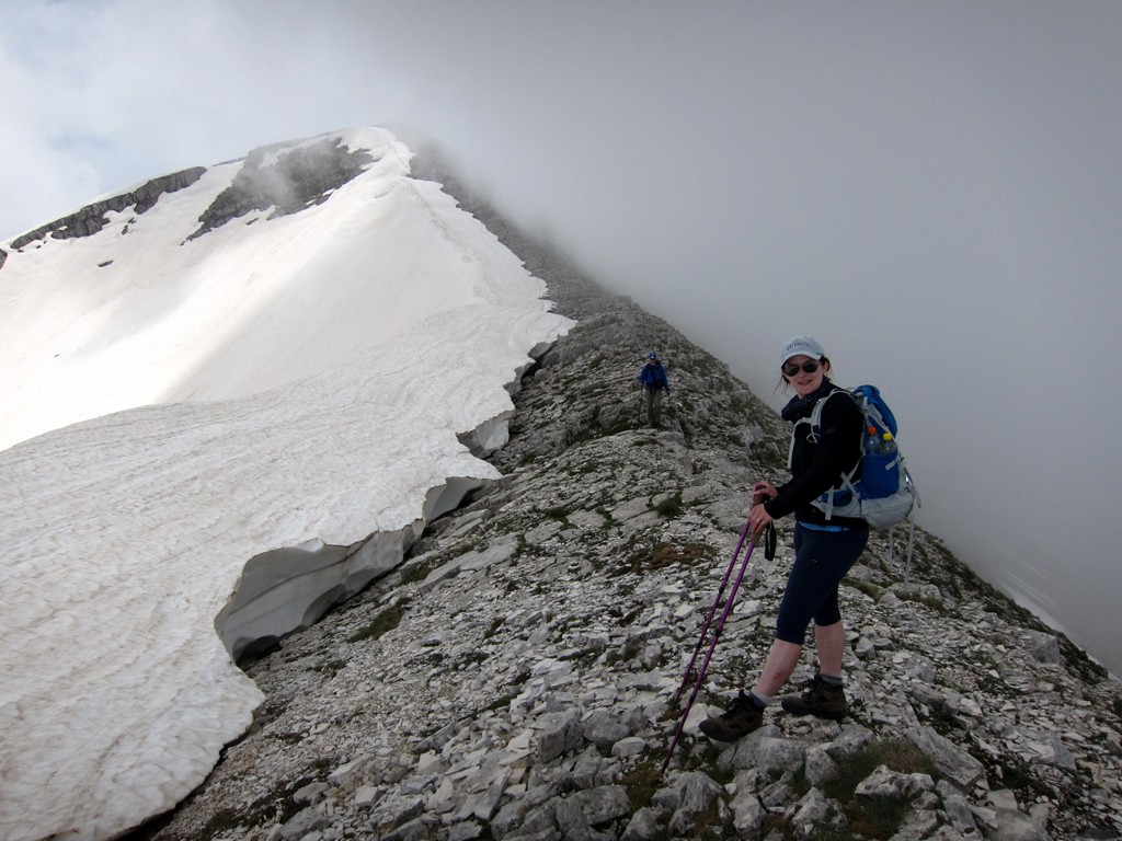
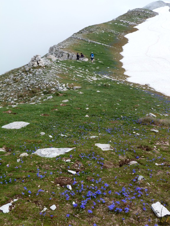
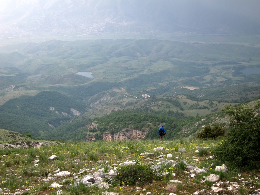
The climb: A high, but not overly long climb, mostly on a mule-path. For those wishing to avoid any bushwhack (or rather grasswhack), the trail option to the right (as seen from the trailhead) might be the best bet.
| Maximum altitude: | 2145 meter |
| Minimum altitude: | 910 meter |
| Cumulative height: | 1305 meter |
| Cumulative length: | 10.7 kilometer roundtrip |
| Difficulty | moderate |
| Time: | 9 hours roundtrip |
| Date of this record | May 2013 |
| Download GPS info: | Cajupi climb |
General location and approach: The vicinity to Gjirokaster allows to stay in comfortable hotels without losing much time in the morning
Other Information: No potable water along the trail
GPS and trailmaps: The map and
trailinformation is generated by
![]() , based
on GPS information collected from the actual hike. Waypoints
can be downloaded to a GPS device from Wikiloc. If necessary, use
GPSBabel to
convert GPS data to different formats. For more
hike descriptions by Palmtreetreeproduction, browse this
website or visit Wikiloc
and search for "Palmtreeproduction". You may also find
nearby trails from other authors.
, based
on GPS information collected from the actual hike. Waypoints
can be downloaded to a GPS device from Wikiloc. If necessary, use
GPSBabel to
convert GPS data to different formats. For more
hike descriptions by Palmtreetreeproduction, browse this
website or visit Wikiloc
and search for "Palmtreeproduction". You may also find
nearby trails from other authors.
Google Earth: You may also view the trail in 3D when viewing it in Google Earth, which you need to have installed on your computer. The 3D perspective allows a good preview of gradients, steepness, possible views and is generally helpful when planning a trip.