PALM TREE PRODUCTIONS
back to Albania site back to hikes and climbs back to Locations and Travel
Along the Drini Zi![]() - an Albanian Classic
- an Albanian Classic
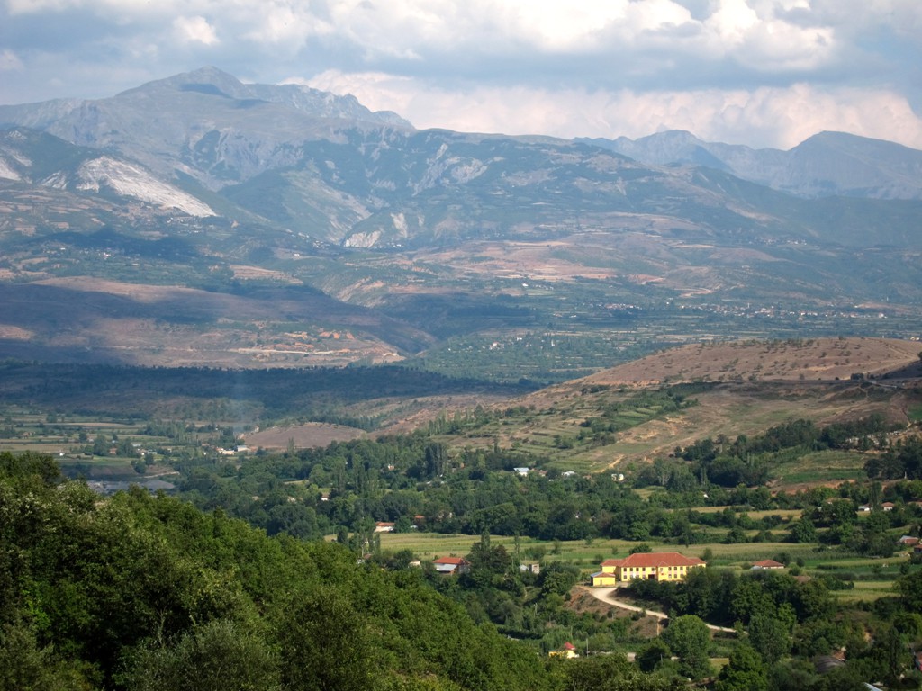
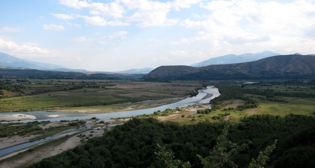
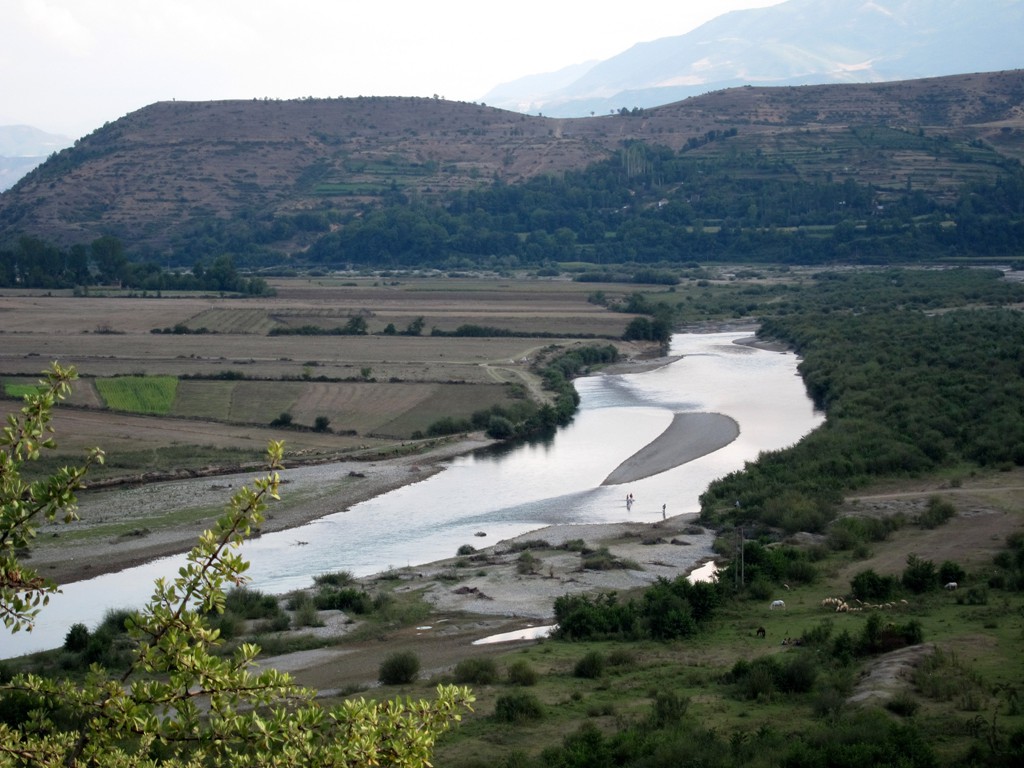
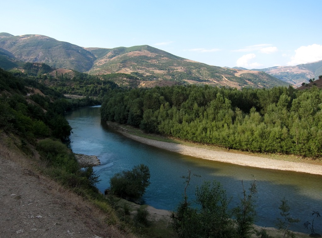
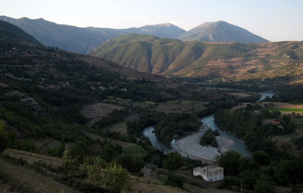
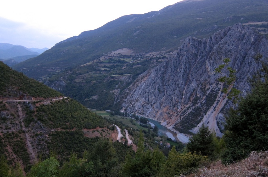
Summary: The old road along the Drini Zi (the Black Drin) connecting Peshkopi with Kukes must be considered one of the Albanian classics - and surely is on the list of any ambitious offroad enthusiast venturing into Northeast Albania. Older maps mark the road as a major long-distance national road, though this status is clearly no longer deserved since asphalting of the eastern road (along the Korab Massif and the border to Macedonia) has been completed in 2012.
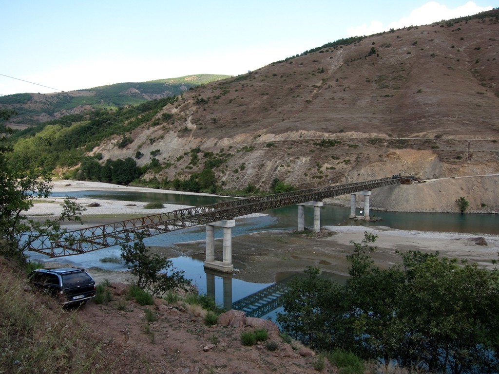
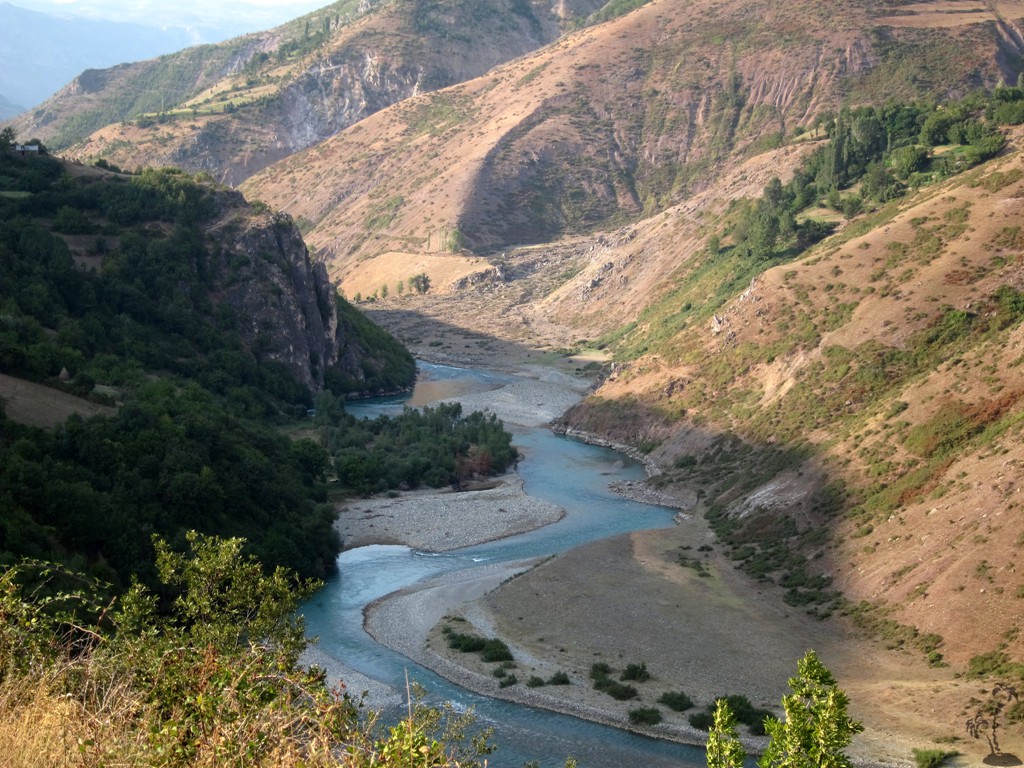
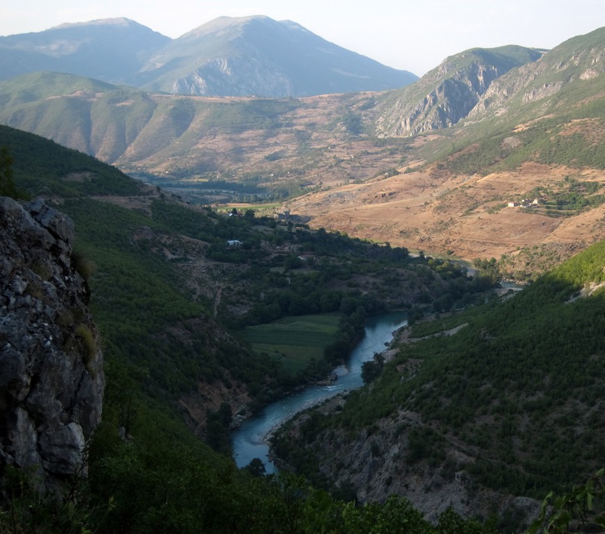
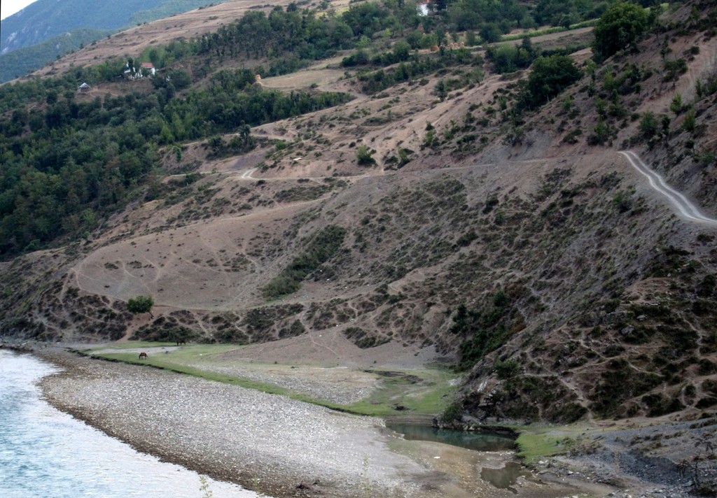
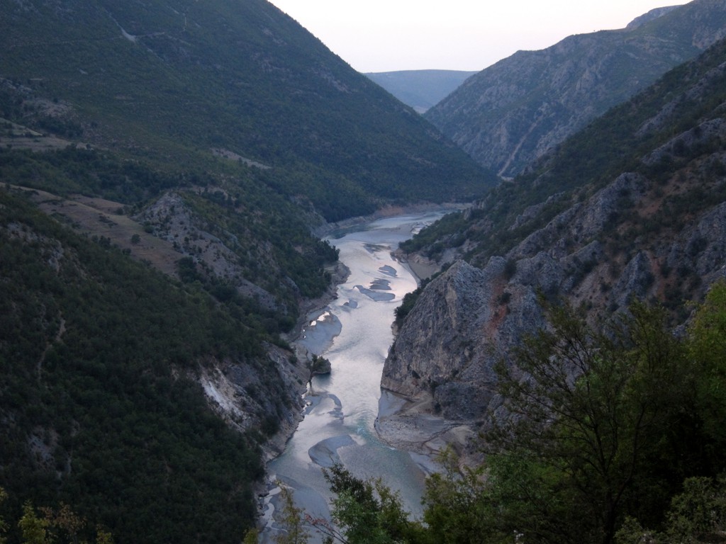
As a consequence, the road sees very little traffic, and almost no heavy trucks. This keeps the road in a fairly good condition (save for a 50 meter stretch, the spot of a landslide in 2009), and movement is swift and comfortable. Still three hours should be planned for the 42 kilometers from Arras, which is the turn off to the eastern side of the Lure National Park, up to Kolesjan where the road meets the asphalt road coming from Peshkopi. This time should be budgeted because of the expected many stops for enjoying the breathtaking views - especially of the Skavicë Gorge and towards the Korab massif - and for taking photographs. The road is fairly exposed at times and should not be taken lightly by travellers with fear of height.
The road can also be driven in reverse direction. Near Arras, one has the choice to proceed to Peshkopi or to turn towards Lure (a slightly more difficult undertaking, see the lure of Lura).
| Maximum altitude: | 715 meter |
| Minimum altitude: | 315 meter |
| Cumulative height: | 1009 meter |
| Cumulative length: | 32 kilometer |
| Difficulty | generally easy with some moderate spots |
| Time: | 3 hours minimum |
| Date of this record | September 2013 |
| Download GPS info: | Drini Zi and Skavice Gorge |
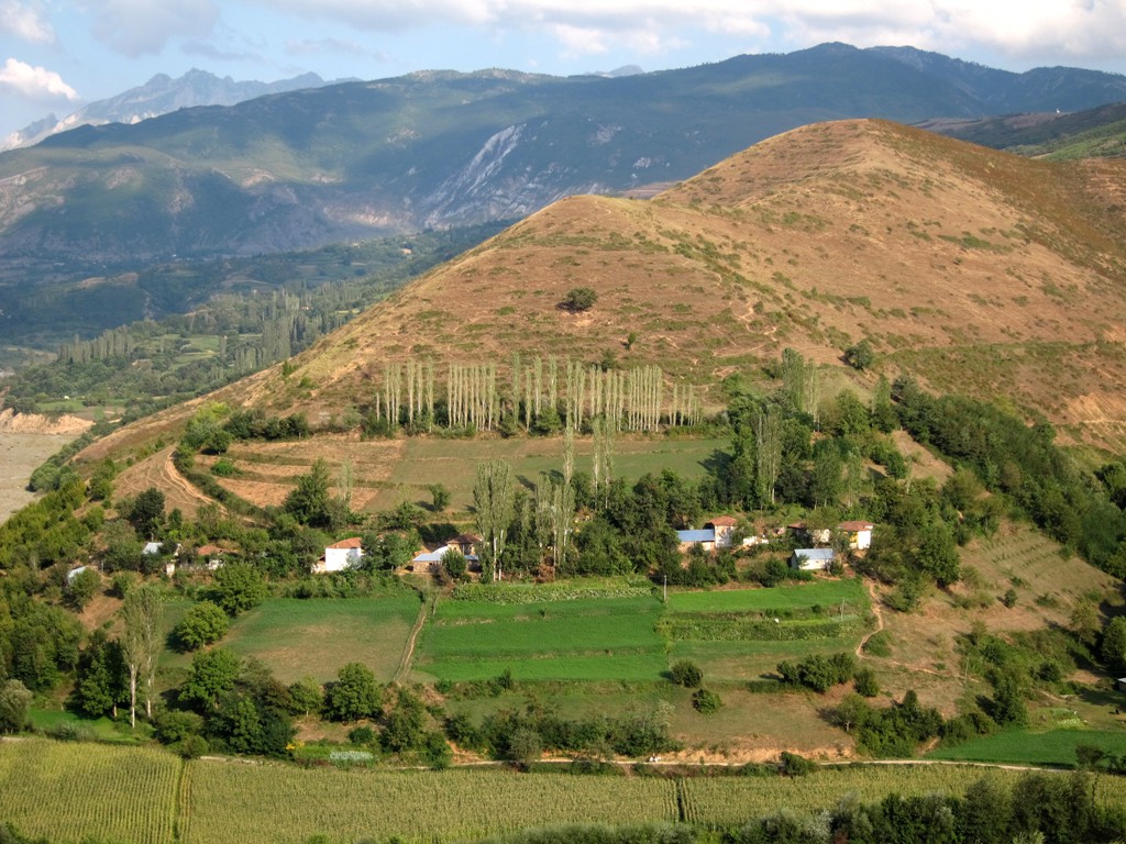
General location and approach: Between Kukes and Peshkopi.
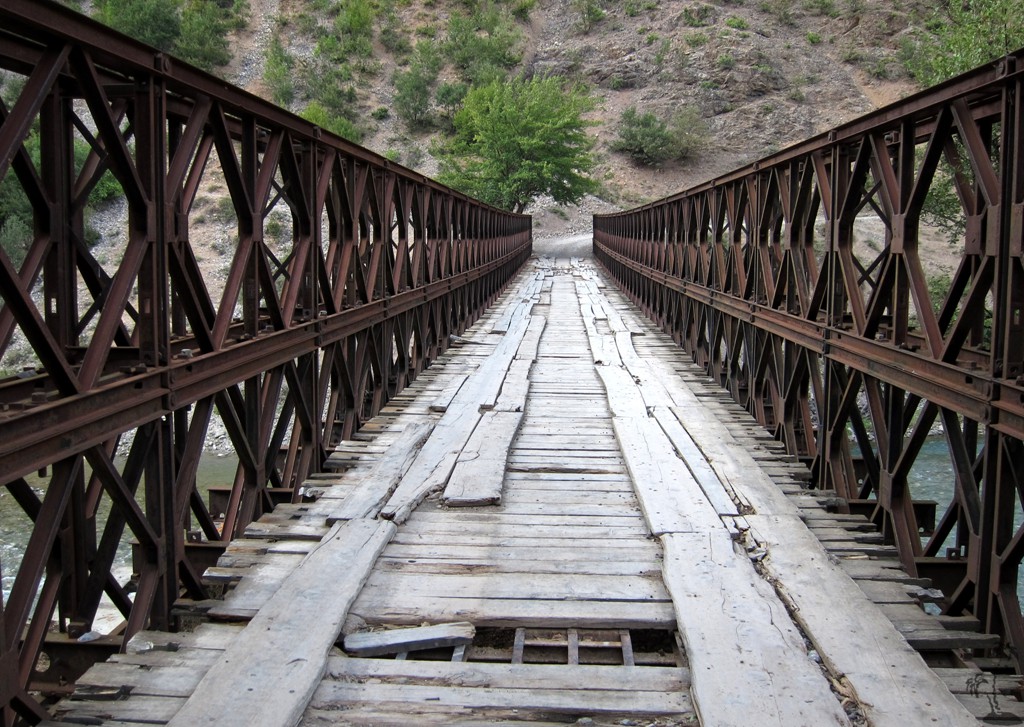
Other Information: Many sidetrips should be possible. To venture into the Skavice Gorge would be a special challenge.
GPS and trailmaps: The map and
trailinformation is generated by
![]() , based
on GPS information collected from the actual hike. Waypoints
can be downloaded to a GPS device from Wikiloc. If necessary, use
GPSBabel to
convert GPS data to different formats. For more
hike descriptions by Palmtreetreeproduction, browse this
website or visit Wikiloc
and search for "Palmtreeproduction". You may also find
nearby trails from other authors.
, based
on GPS information collected from the actual hike. Waypoints
can be downloaded to a GPS device from Wikiloc. If necessary, use
GPSBabel to
convert GPS data to different formats. For more
hike descriptions by Palmtreetreeproduction, browse this
website or visit Wikiloc
and search for "Palmtreeproduction". You may also find
nearby trails from other authors.
Google Earth: You may also view the trail in 3D by clicking "view in Google Earth" when on Wikiloc. You need to have Google Earth installed on your computer.