PALM TREE PRODUCTIONS
back to Albania site back to hikes and climbs back to Locations and Travel
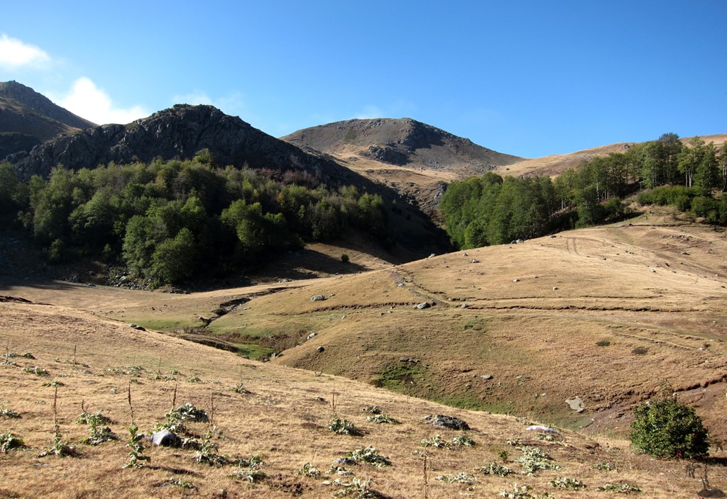
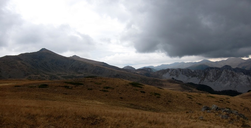
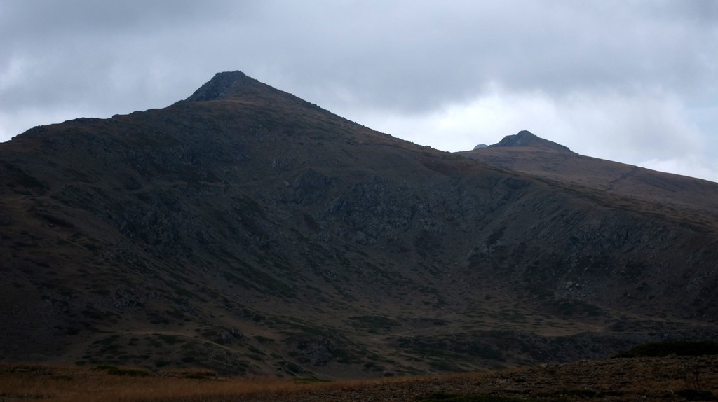
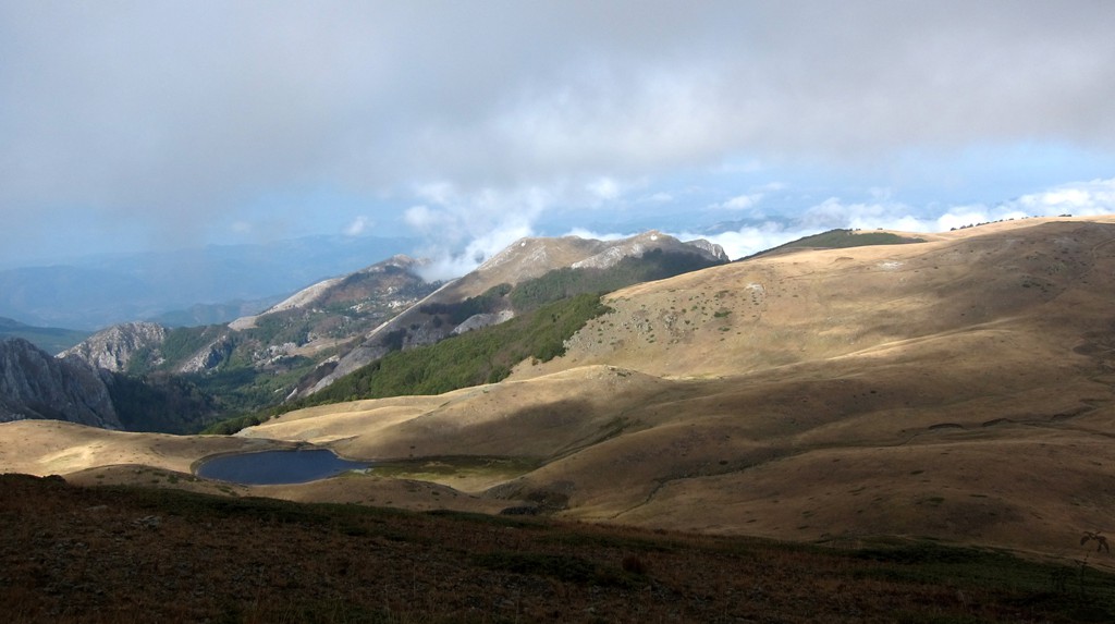
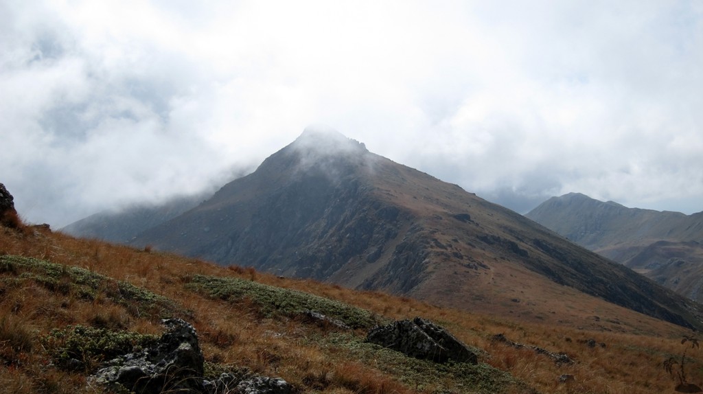
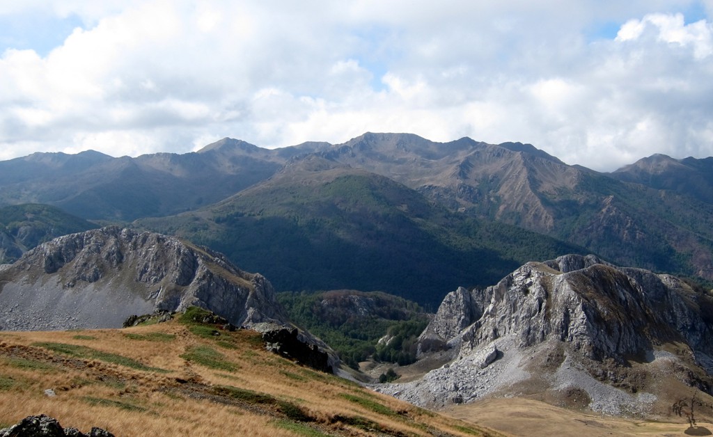
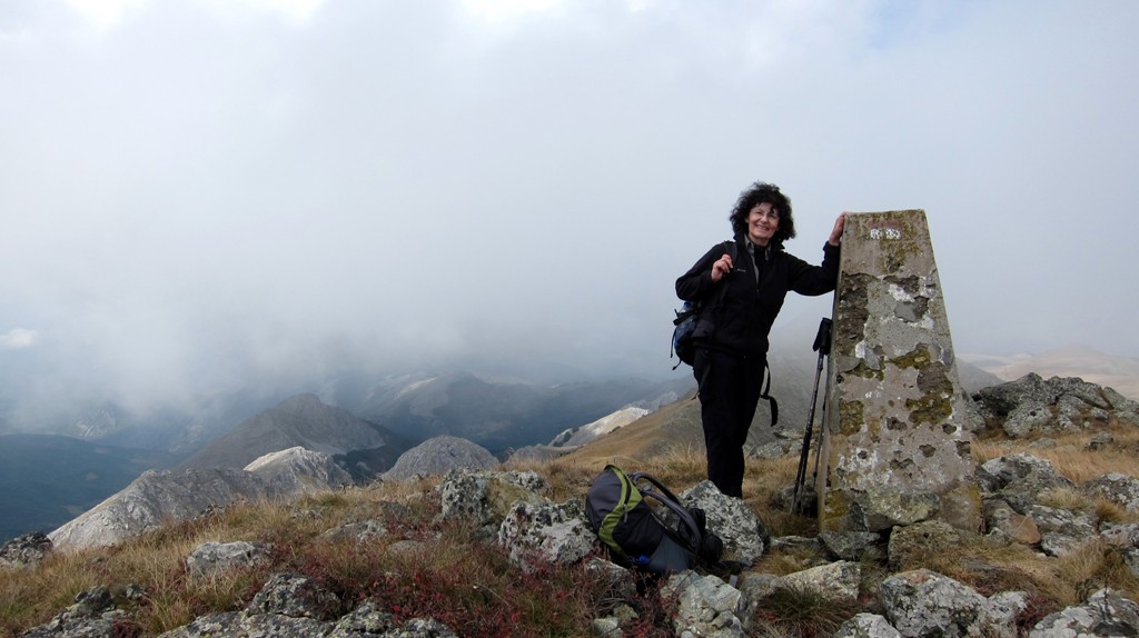
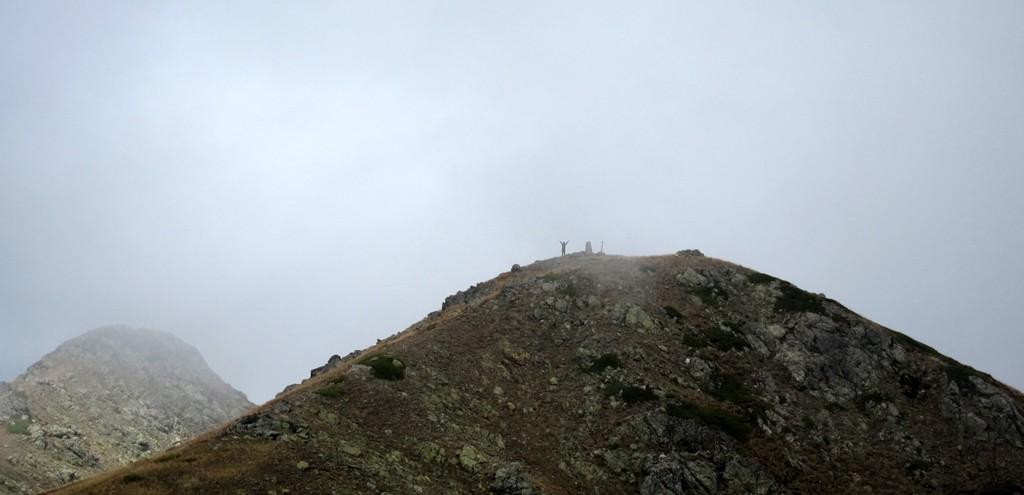
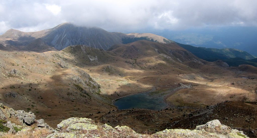
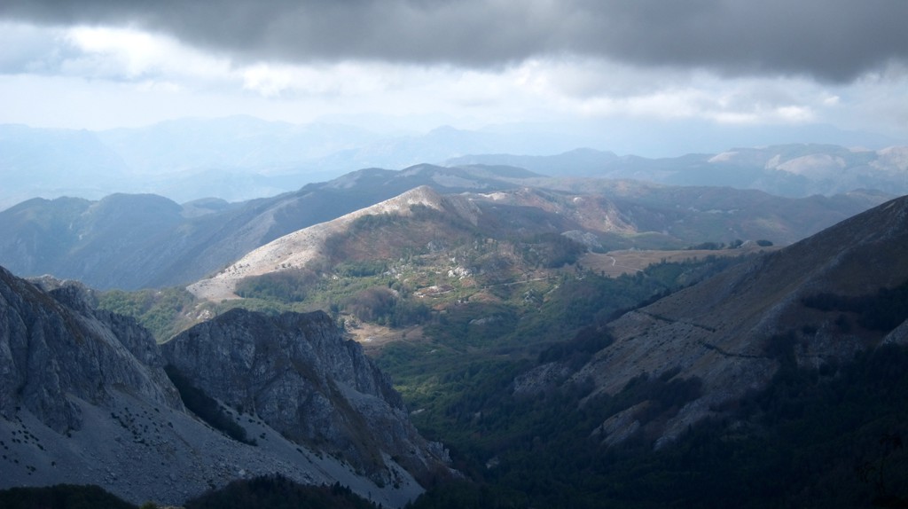
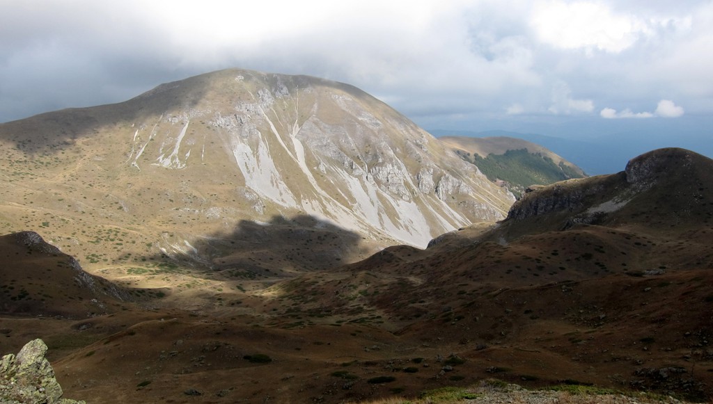
Stebleve and Maja e Zeze, the highpoint of
Jabllanica![]()
![]()
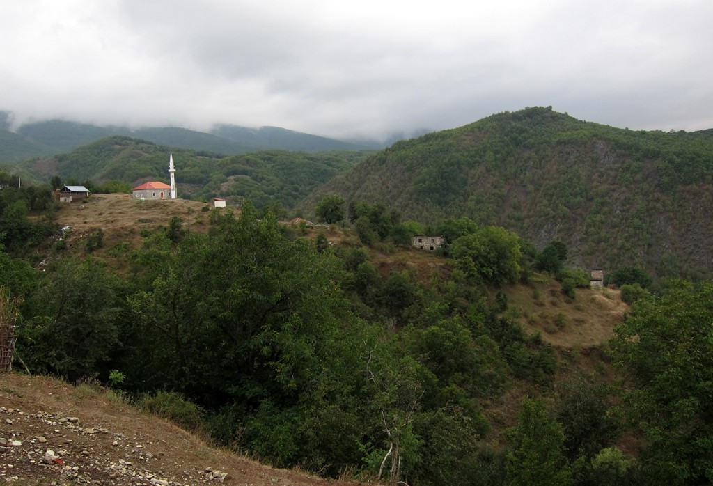
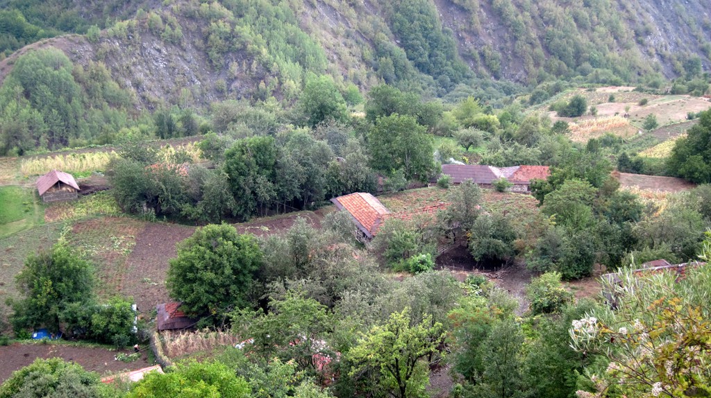
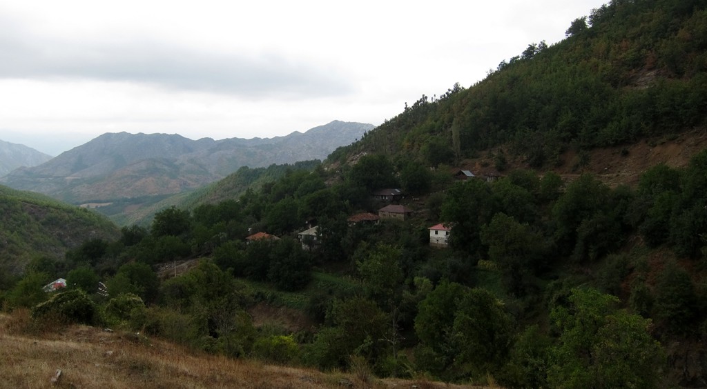
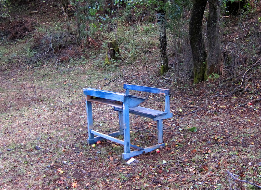
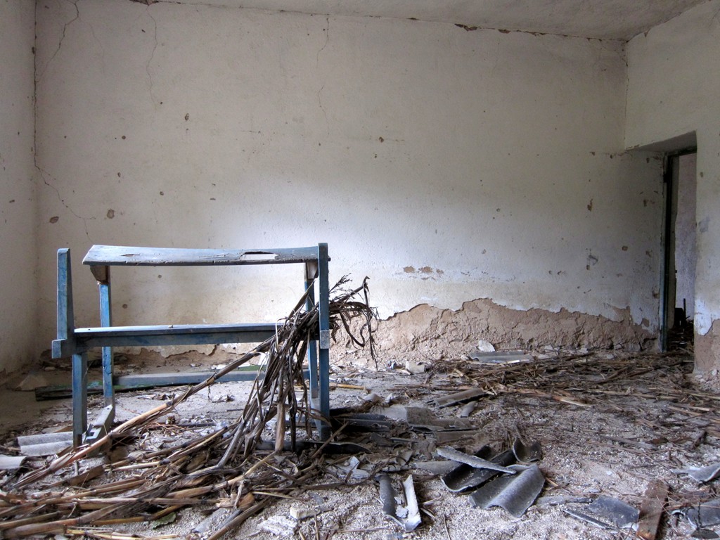
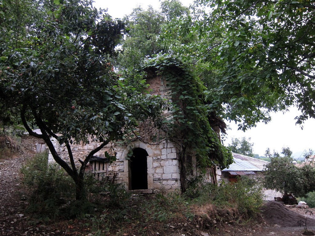
Summary: The Shebenik-Jabllanica National Park is one of the largest National Parks in Albania. It is in a fairly remote corner along the border with Macedonia. The area has great touristic potential, but as of writing, infrastructure is minimal. There are some tourist huts being built in Stebleve, and we were told they will open in winter 2012/2013. We stayed one night in Stebleve, in a private house, but arrangements should be made in advance. There is no restaurant or cafe or bar in the village. Stebleve village is not being touched by the new (still under construction) asphalt road connecting Librazhd and Peshkopi. The school closed long ago as all children are raised elsewhere. We hope that the vicinity to a future asphalt road may bring more paying guests to the area.
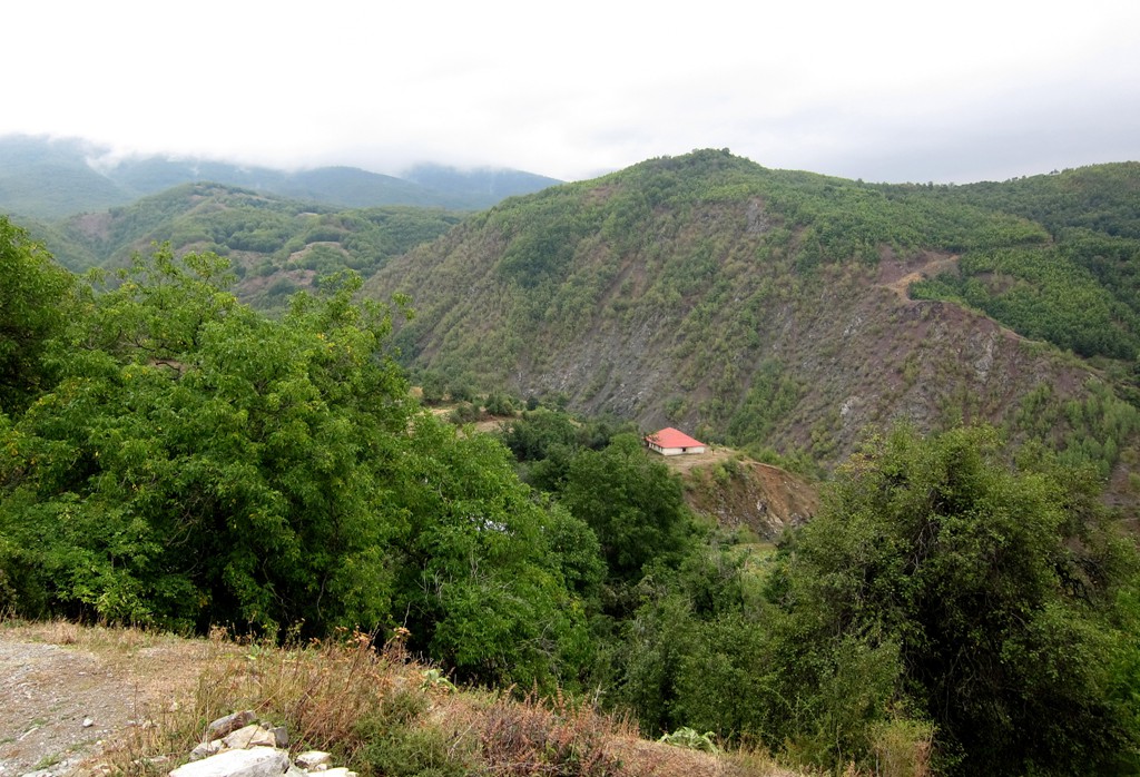
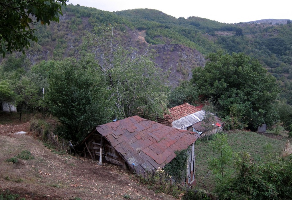
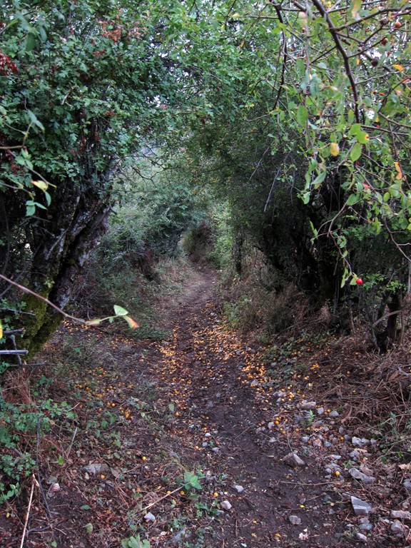
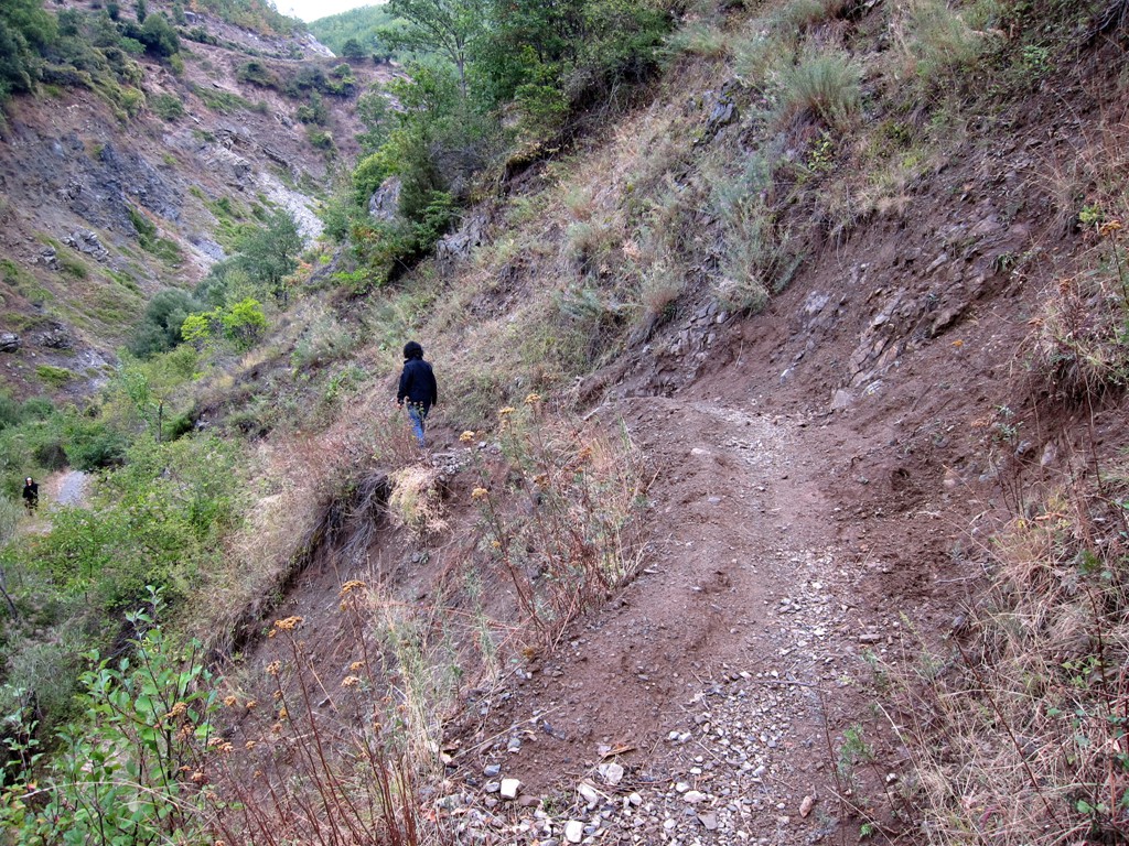
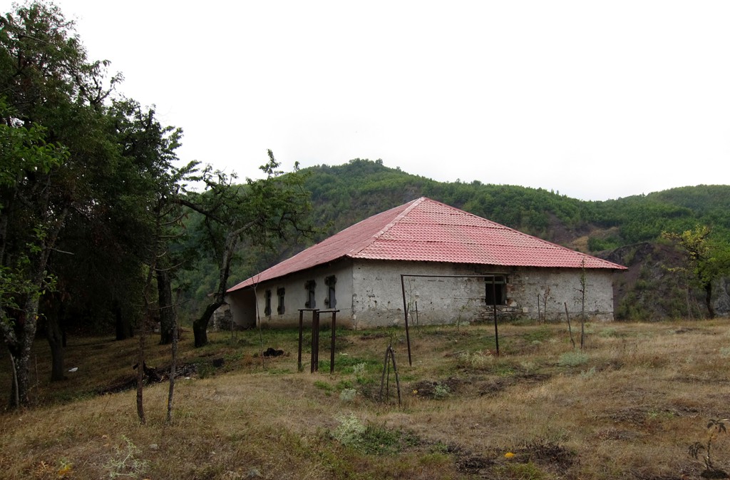
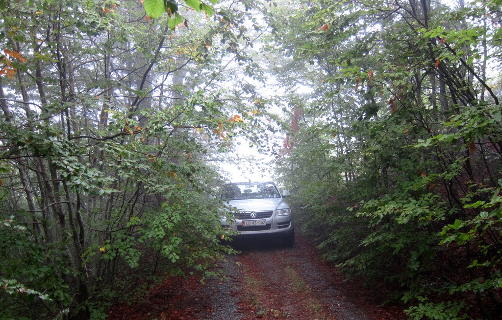
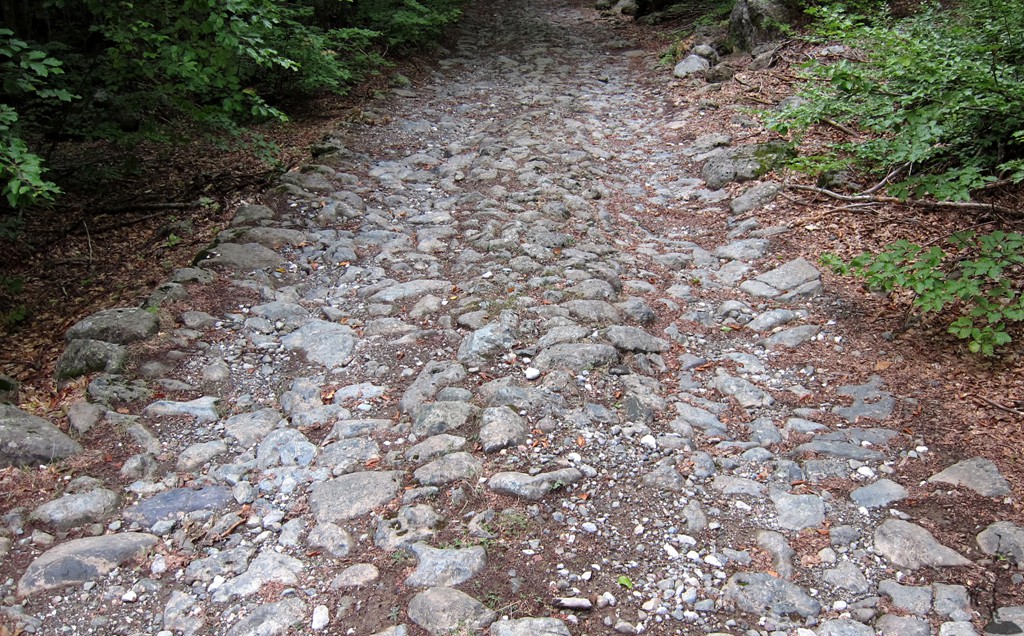
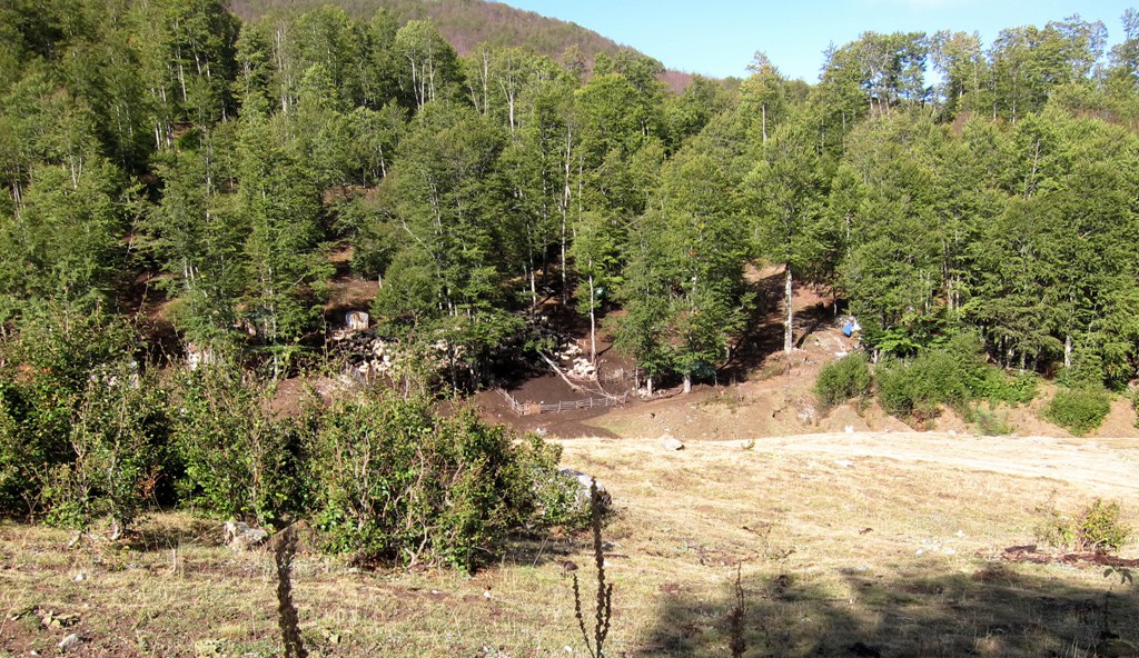
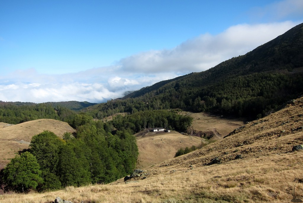
The Drive: Stebleve can be reached from either Librazhd (shortest drive) or from Bulquize/Peshkopi (see 'Peshkopi to Librazhd'on this website). The road from Librazhd up to Fushe Studen (close to Stebelve) will be asphalt in the forseeable future. You have to turn into Stebleve village. The trail starts in Stebleve center, from near the mosque. It returns to the main road, follows it for a few hundred meter north to a functioning police post and signboard for the National Park. A road turns off to the right - if followed it will lead to the border with Macedonia. It is not allowed to cross the border by car. Instead, a few hundred meter after the sign board on the road to the border, turn right again and follow the old military road, as far as you get. It ends at an abandoned police post, but we decided to park the car a few hundred meter earlier, near some shepherd huts.
| Maximum altitude: | 1790 meter |
| Minimum altitude: | 1152 meter |
| Cumulative height: | 747 meter |
| Cumulative length: | 8 kilometer |
| Difficulty | moderate |
| Time: | 40 minutes |
| Date of this record | September 2012 |
| Download GPS info: | Drive to Jabllanica trailhead |
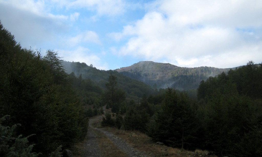
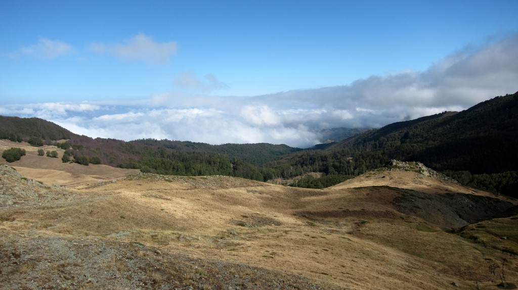
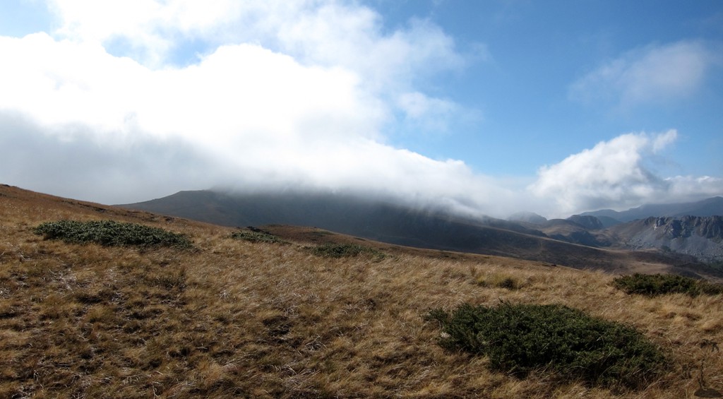
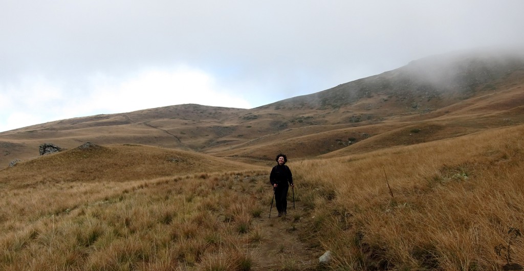
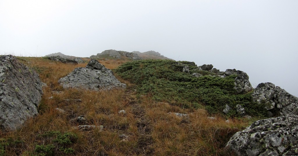
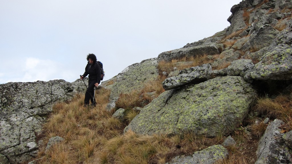
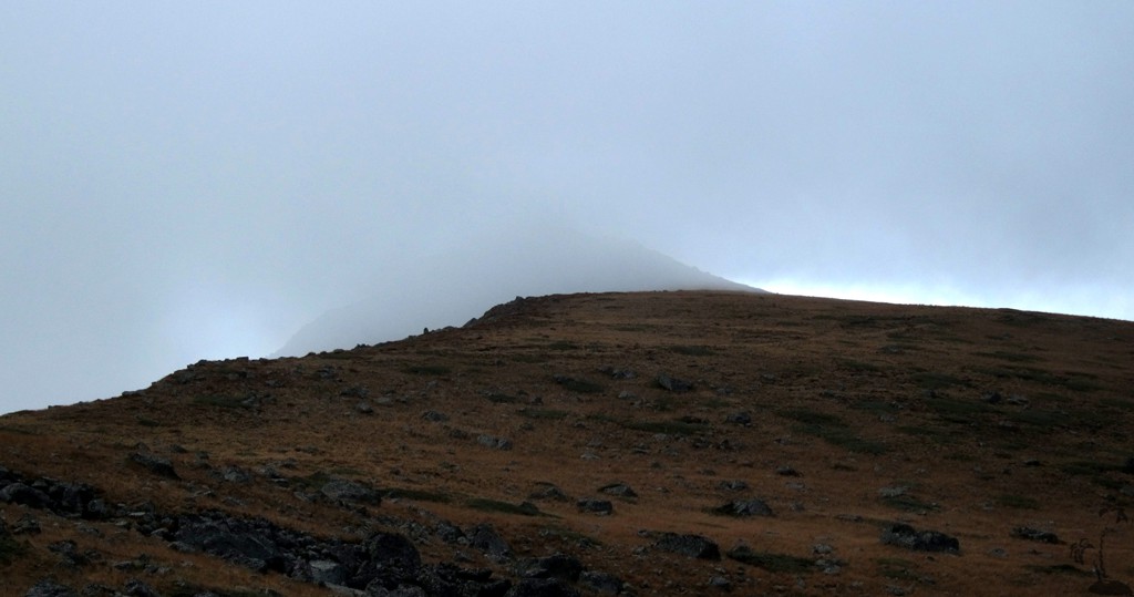
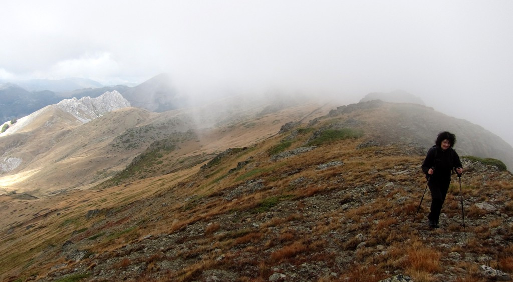
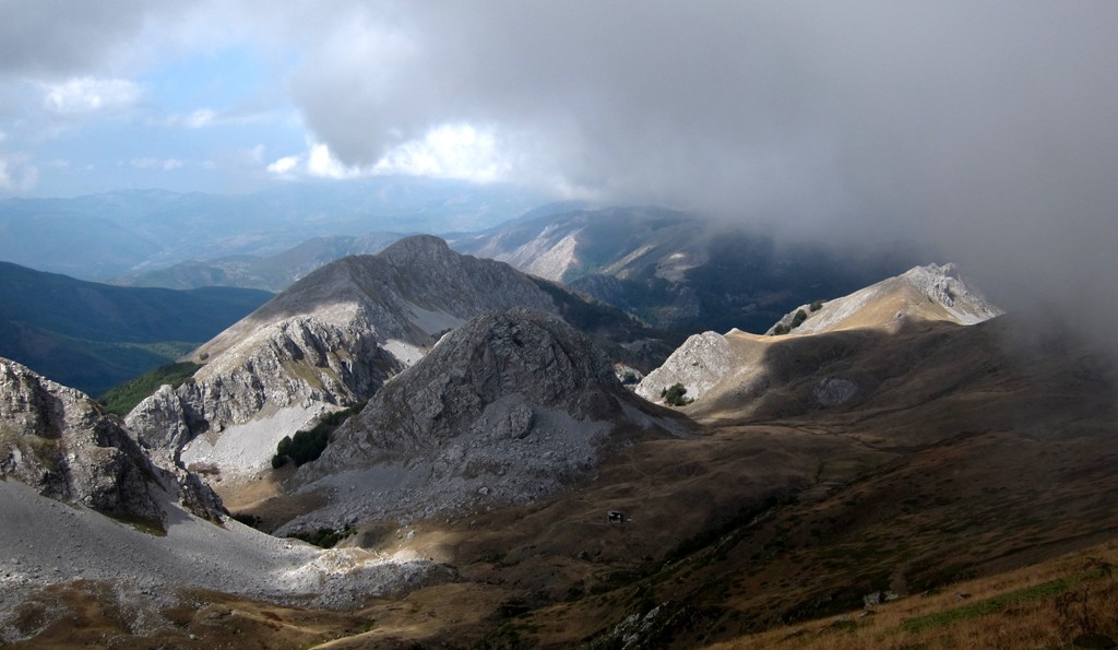
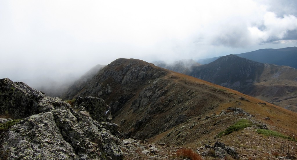
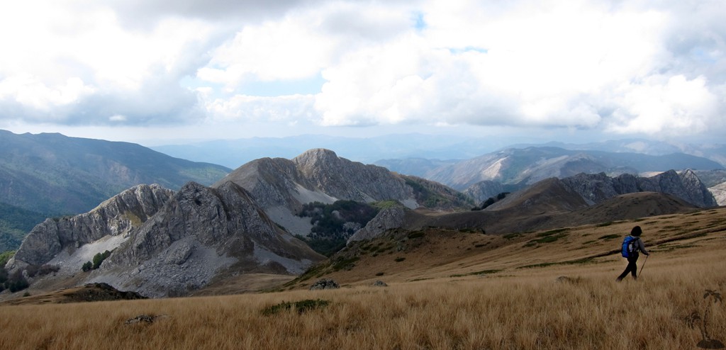
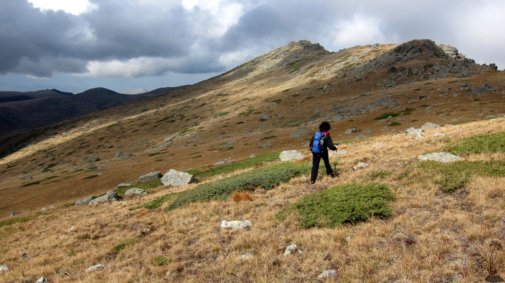
The climb: From the shepherd huts, walk to the abandonned police station. This could be a good place to camp. From there, the trail climbs to the ridge of the Jabllanica range. You may follow some (no longer used) military paths close to actual ridge, or walk the ridge itself. The latter option will accumulate more ups and downs. There is nothing difficult about the climb, except its length. When walking the ridgeline, beware of a few precipitous drops on the Macedonian side.
| Maximum altitude: | 2260 meter |
| Minimum altitude: | 1802 meter |
| Cumulative height: | 558 meter |
| Cumulative length: | 7.04 kilometer one way |
| Difficulty | moderate |
| Time: | 3 hours one way |
| Date of this record | September 2012 |
| Download GPS info: | Maja e Zeze - Jabllanica |
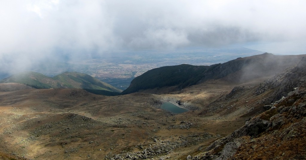
General location and approach: On the Albania - Macedonia border, between Librazhd and Peshkopi.
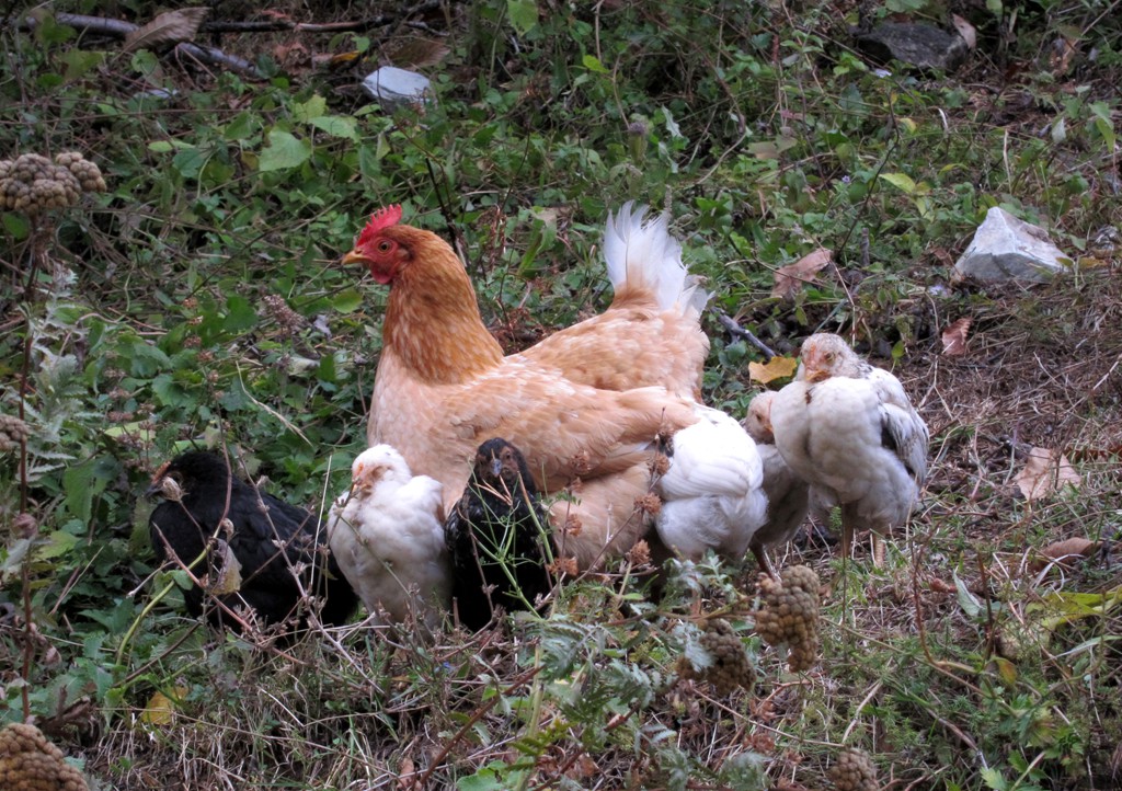
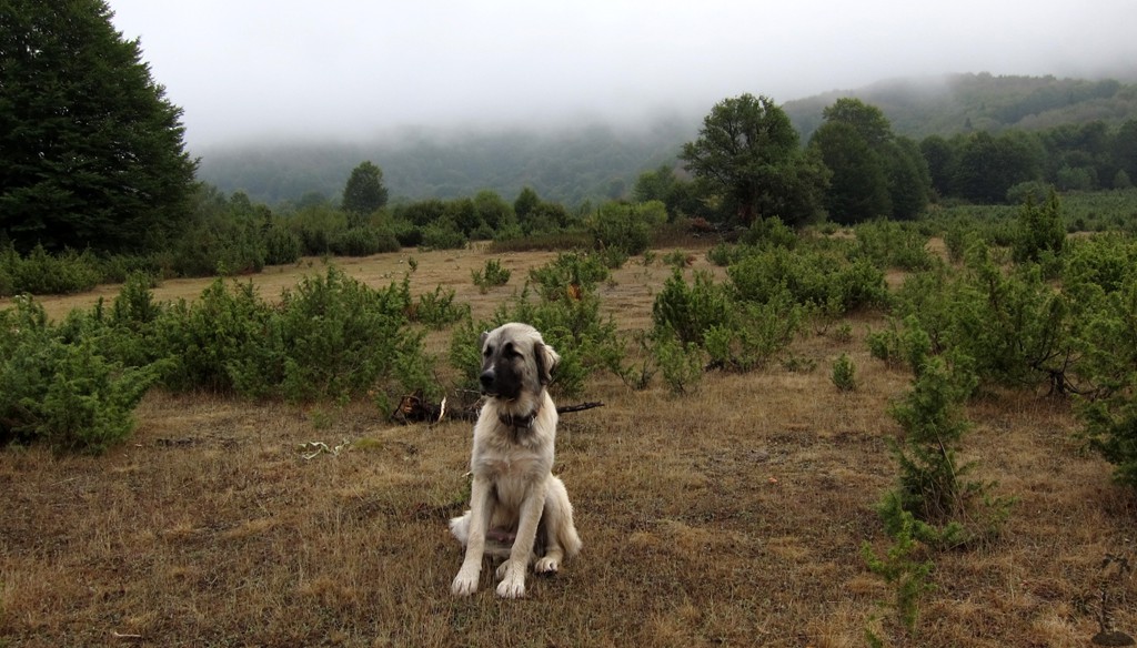
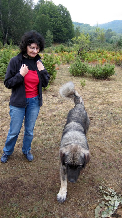
Other Information: We had no trouble with sheep dogs!
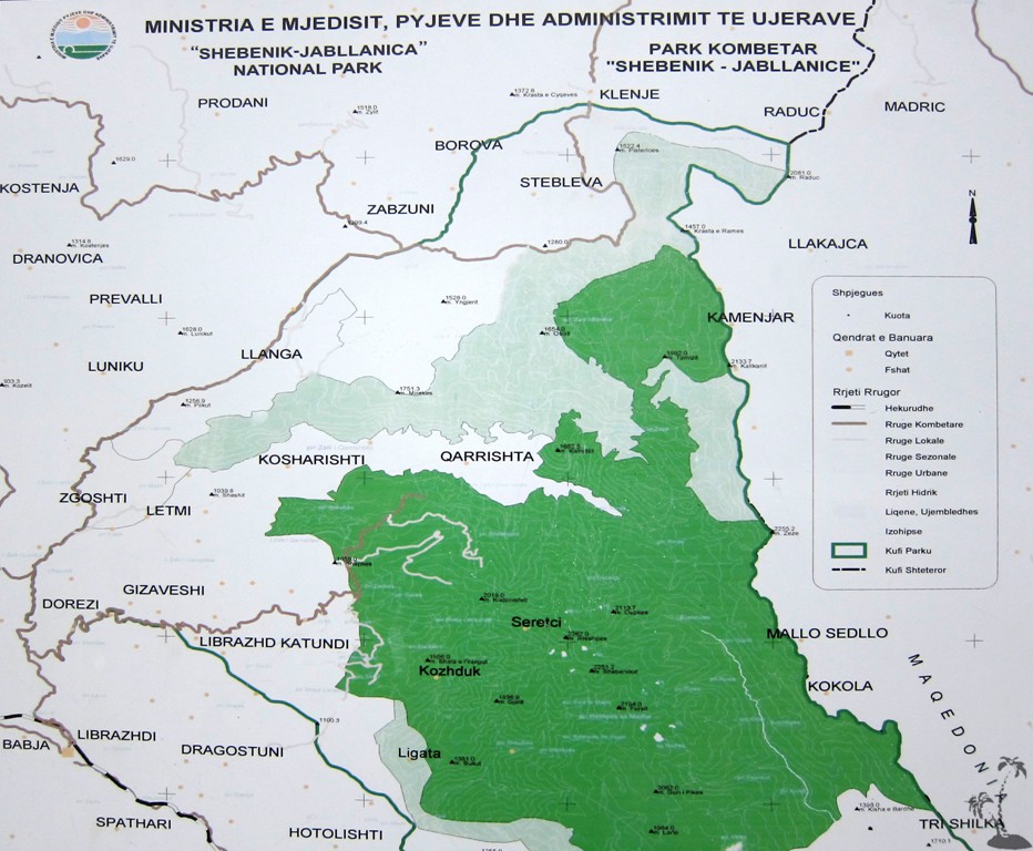
GPS and trailmaps: The map and trailinformation is generated by www.wikiloc.org, based on GPS information collected from the actual hike. Waypoints can be downloaded to a GPS device from Wikiloc. If necessary, use GPSBabel to convert GPS data to different formats. For more hike descriptions by Palmtreetreeproduction, browse this website or visit Wikiloc and search for "Palmtreeproduction". You may also find nearby trails from other authors.
Google Earth: You may also view the trail in 3D by viewing it directly in Google Earth. You need to have Google Earth installed on your computer. Activate "wikiloc"in the "Gallery" menu in Google earth.