PALM TREE PRODUCTIONS
back to Albania site back to hikes and climbs back to Locations and Travel
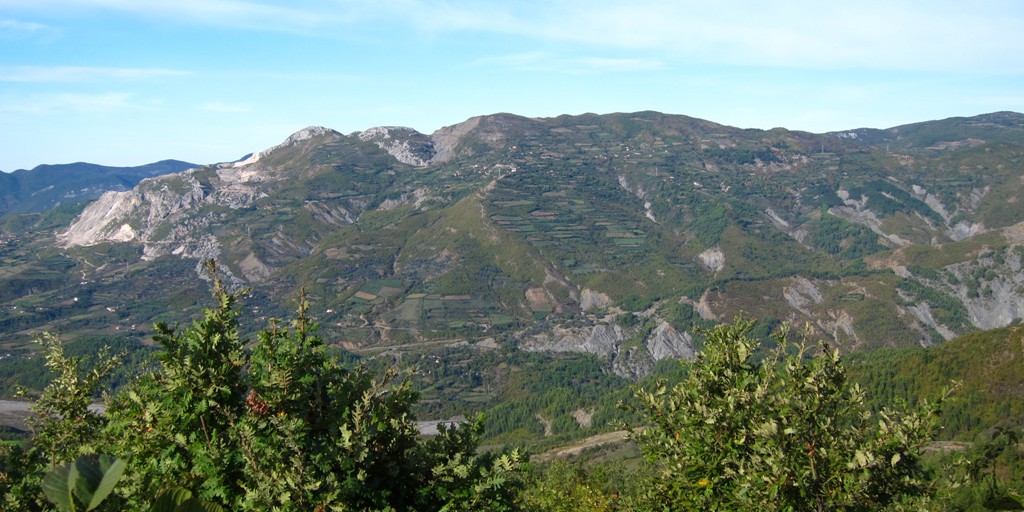
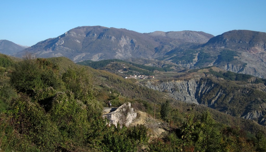
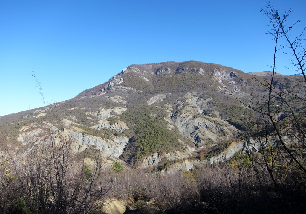
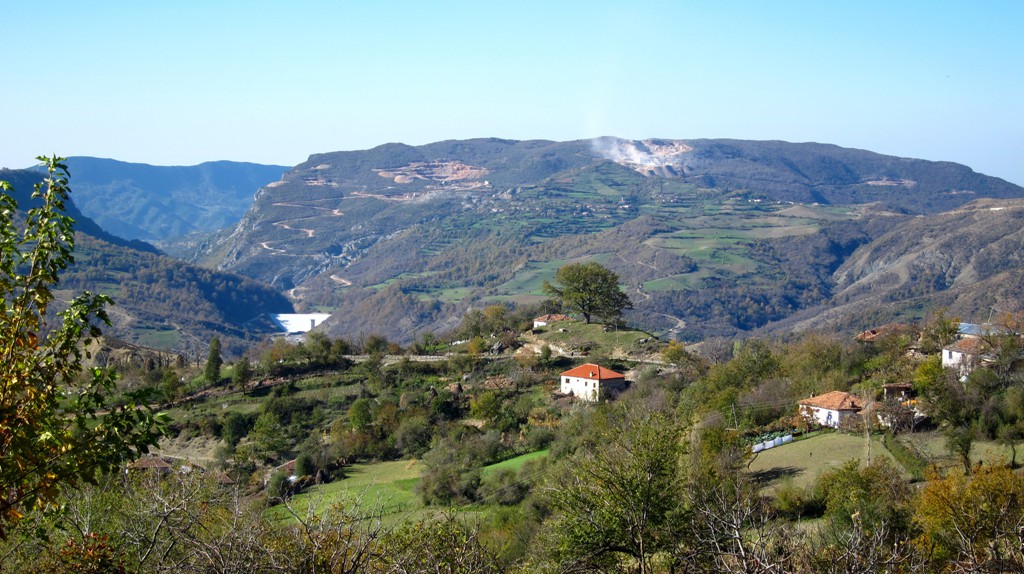
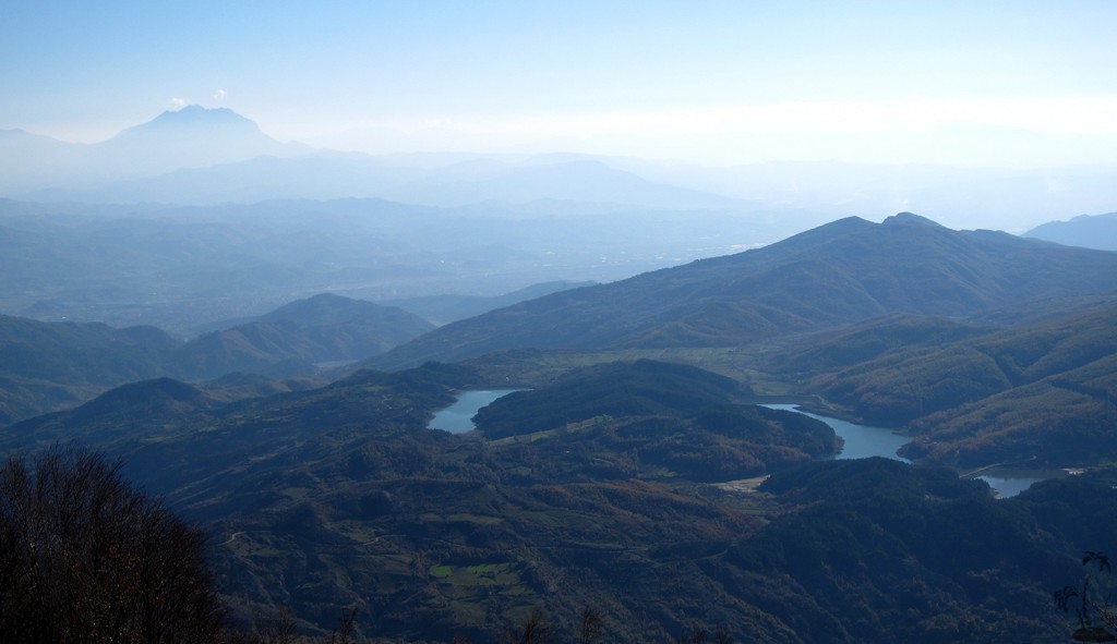
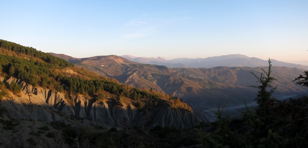
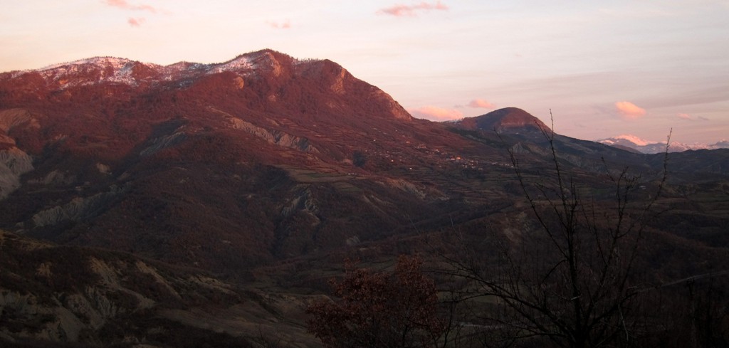
Across Mali i Korres![]()
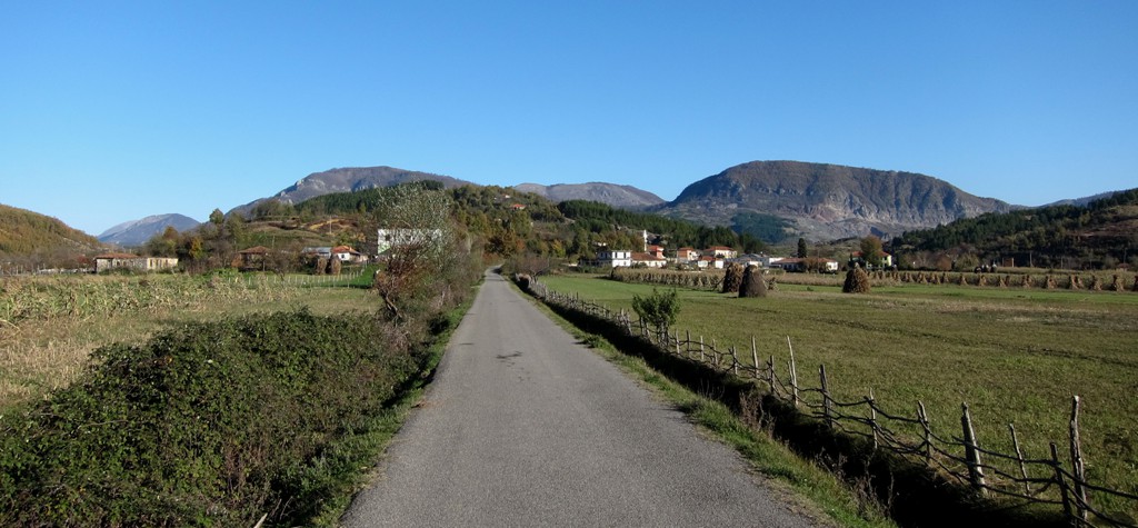
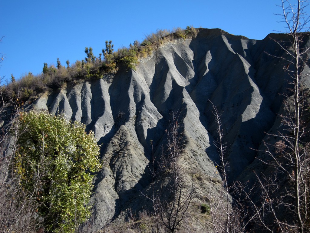
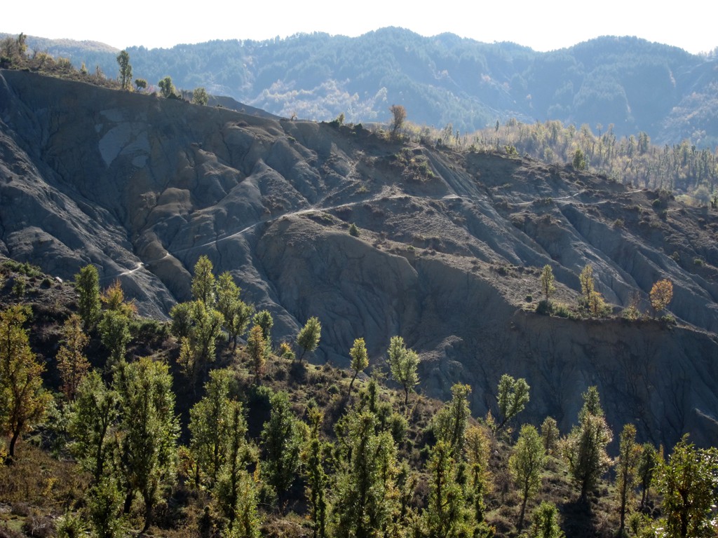
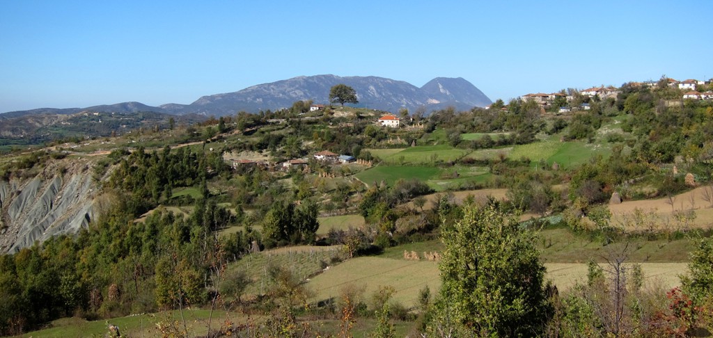
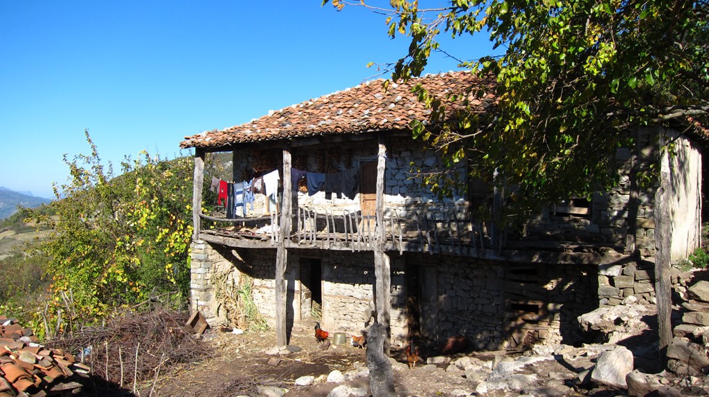
Summary: Mali i Korres could be coming out of a novel. It is the backdrop for several villages on an isolated highland plateau. Situated right on the boundary of Tirana and Elbasan regions, it takes a while to get there along winding roads in desolated landscapes.
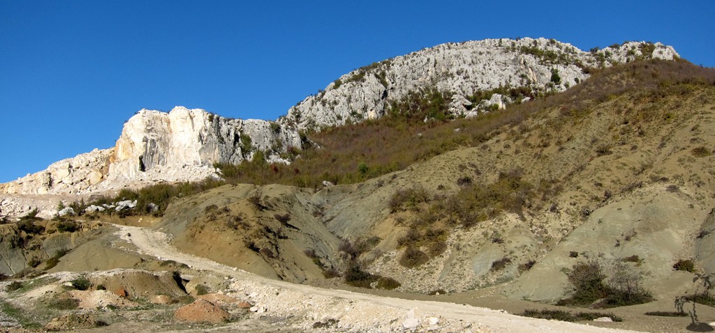
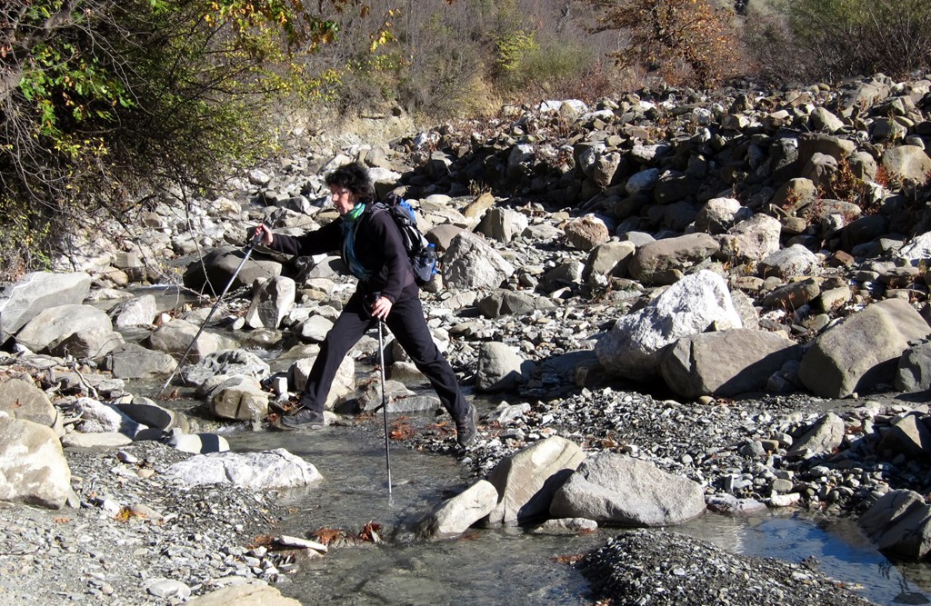
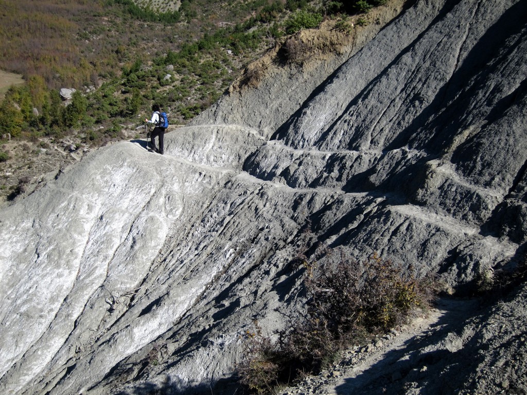
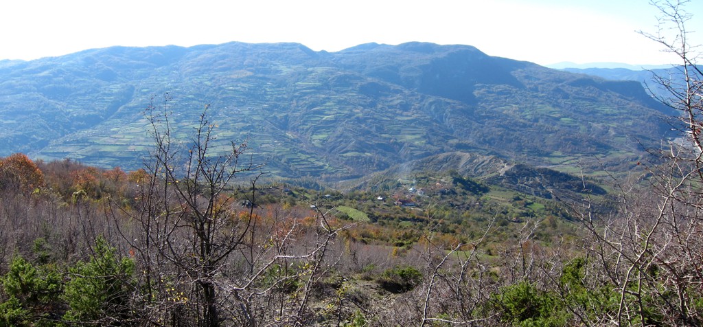
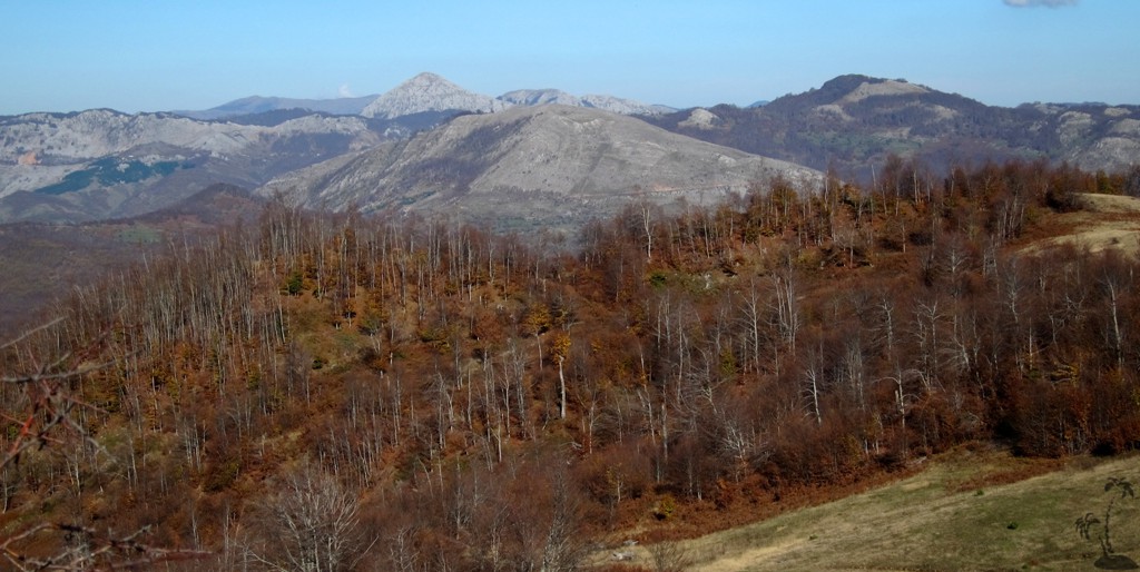
We chose a round-trip across the summit of Korres. Due to the much eroded hillsides, the trip requires to descend deep into the ravines. Regardless where you start the loop hike, the total elevation gain will always be the same.
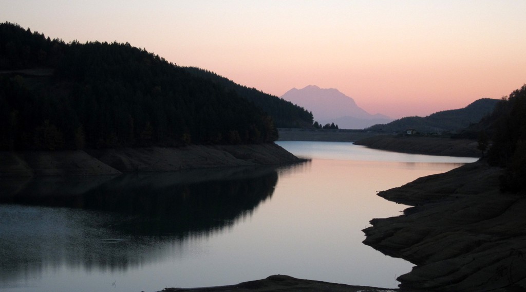
We opted to start with a descent of 200 Meter, but other starting points are possible. One of them would be Korres village - but then you have to climb the 200 meters on the final stretch of your return.
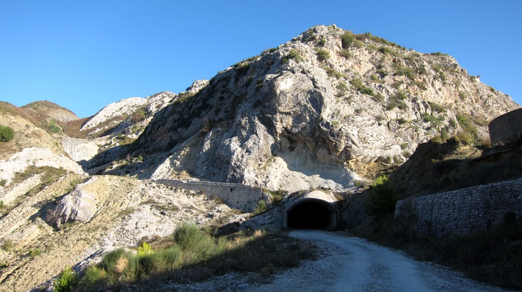
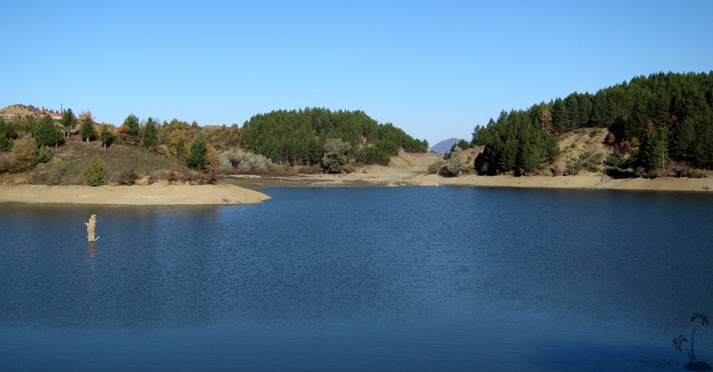
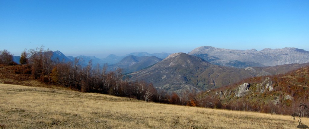
The hike follows trail, forest roads, village roads and short sections through farmland, where orientation might be difficult.
The Hike:
| Maximum altitude: | 1410 meter |
| Minimum altitude: | 602 meter |
| Cumulative height: | 885 meter |
| Cumulative length: | 14 kilometer roundtrip |
| Difficulty | moderate |
| Time: | 6 hours |
| Date of this record | November 2013 |
| Download GPS info: | Korres |
The Access: The best way to approach the trailhead is from Elbasan, via the road to Mollagjesh
| Maximum altitude: | 859 meter |
| Minimum altitude: | 310 meter |
| Cumulative height: | 660 meter |
| Cumulative length: | 21.5 kilometer |
| Difficulty | easy |
| Time: | 1 hour |
| Date of this record | November 2013 |
| Download GPS info: | Korres Trailhead |
Other Information: For shorter hikes, you may opt for an in-and-out hike along the same route, for instance starting in Cerujë.
GPS and trailmaps:
The map and
trailinformation is generated by
![]() , based
on GPS information collected from the actual hike. Waypoints
can be downloaded to a GPS device from Wikiloc. If necessary, use
GPSBabel to
convert GPS data to different formats. For more
hike descriptions by Palmtreetreeproduction, browse this
website or visit Wikiloc
and search for "Palmtreeproduction". You may also find
nearby trails from other authors.
, based
on GPS information collected from the actual hike. Waypoints
can be downloaded to a GPS device from Wikiloc. If necessary, use
GPSBabel to
convert GPS data to different formats. For more
hike descriptions by Palmtreetreeproduction, browse this
website or visit Wikiloc
and search for "Palmtreeproduction". You may also find
nearby trails from other authors.
Google Earth: You may also view the trail in 3D by clicking "view in Google Earth" when on Wikiloc. You need to have Google Earth installed on your computer.