PALM TREE PRODUCTIONS
back to Albania site back to hikes and climbs back to Locations and Travel
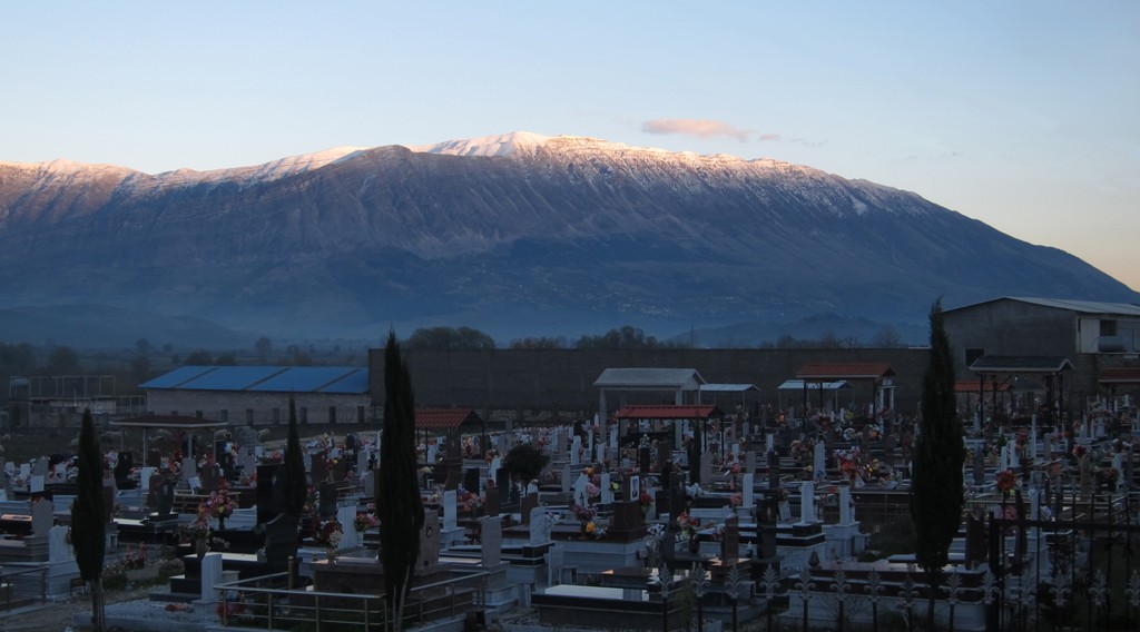
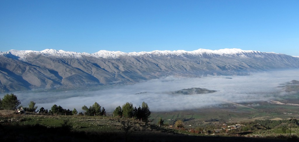
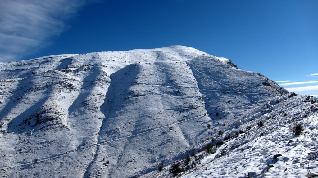
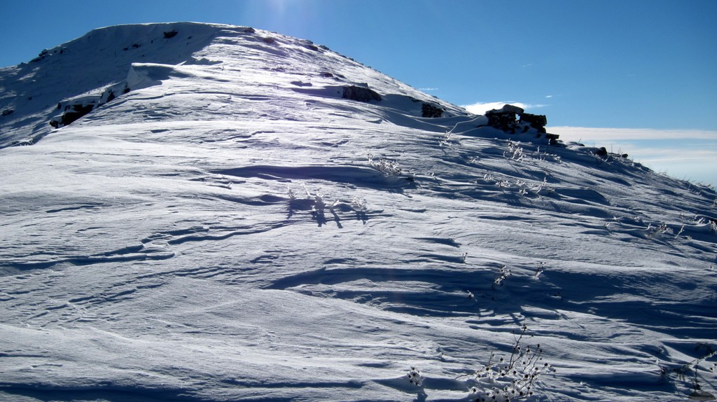
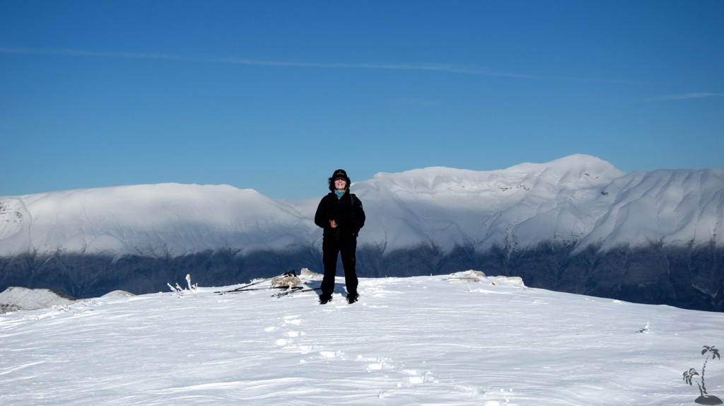
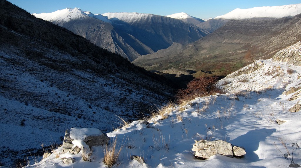
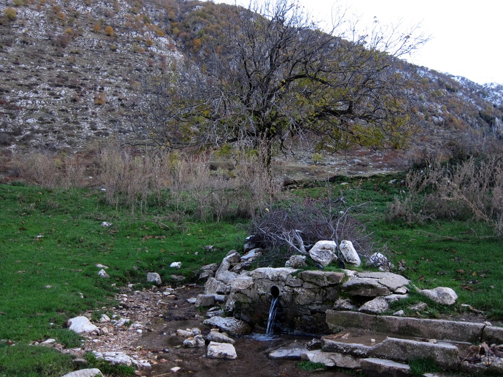
First Snow on Mali i Buretos![]()
Summary: Mali i Buretos may be somewhat neglected by ambitious hikers. This might be because it happens to be a little less high than mighty Cajupi Mountain, or even nearby Nemercka. 1759 Meter do not seem to be very high, but remember that the Drinos Valley lies at an altitude of 200 Meter only. So Mali i Buretos (or Mal Bureto) cannot be overlooked, and it is right in your face (on your left side) when travelling from Gjirokaster to Kakavije or Greece.
We had to check several maps for the spelling, as we did not want to appear to have climbed something as high as a Mexican hamburger. The summit is also called Arkovale on the AlbInfo map.
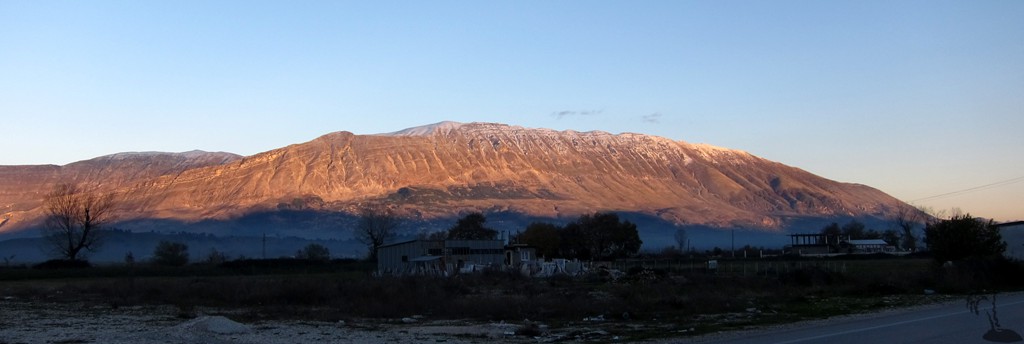
We had eyed Mali i Buretos many times before, but then seemed to always have more pressing - and higher - things to do. The last week in November 2013, with the first snow just fallen but plenty of sunshine in the weather forecast, seemed to be just right.
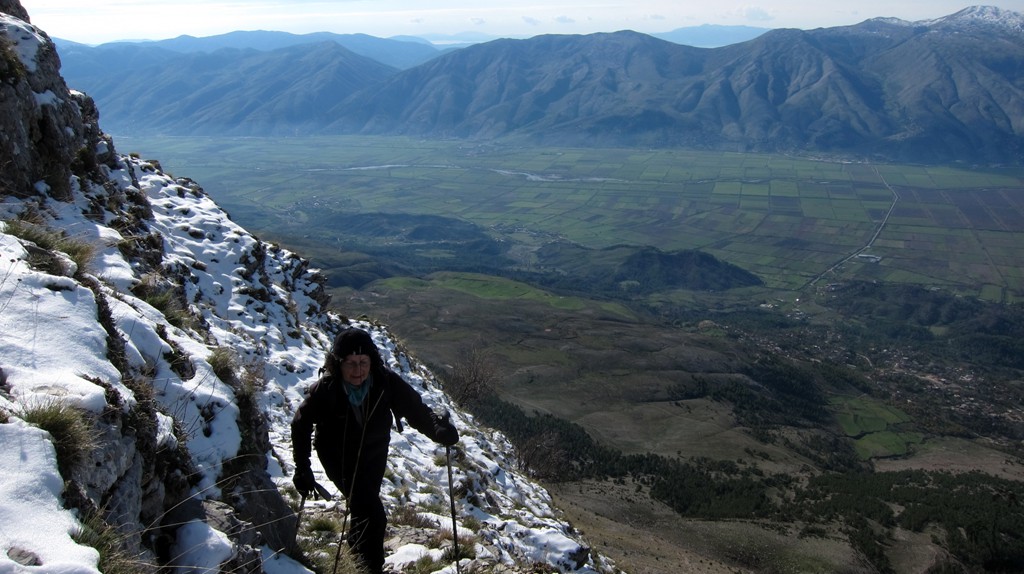
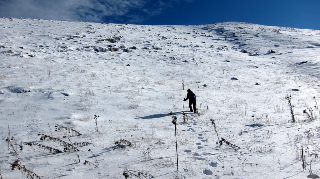
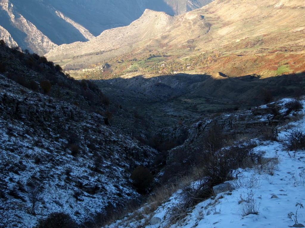
We selected a sort of diretissima, along a barely visible path, right up in a straight line from Libohove town to the summit ridge at 1500 Meter. Inspection from the valley below, in the evening light, seemed to indicate that we would not yet have (much) snow until the ridge.
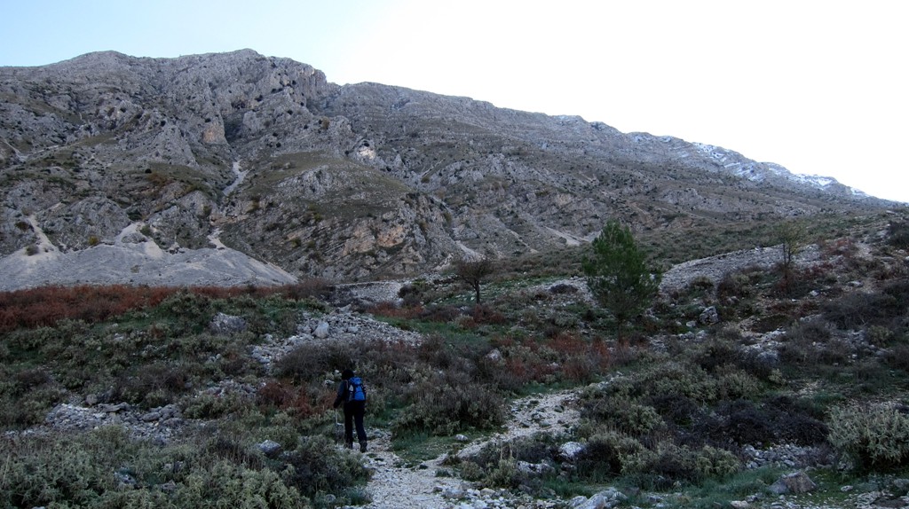
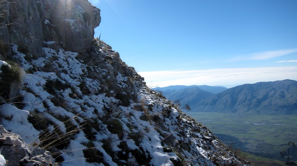
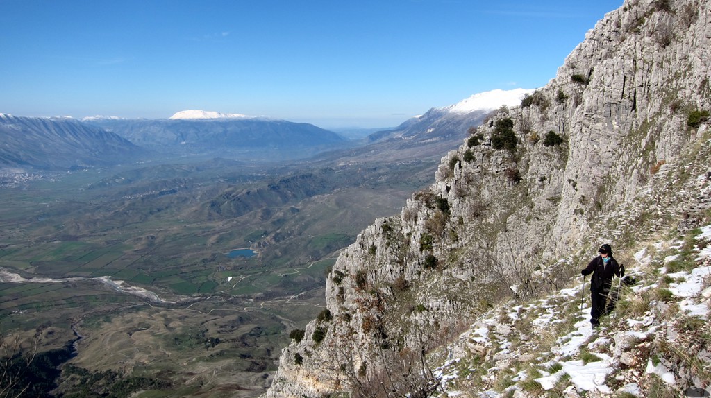
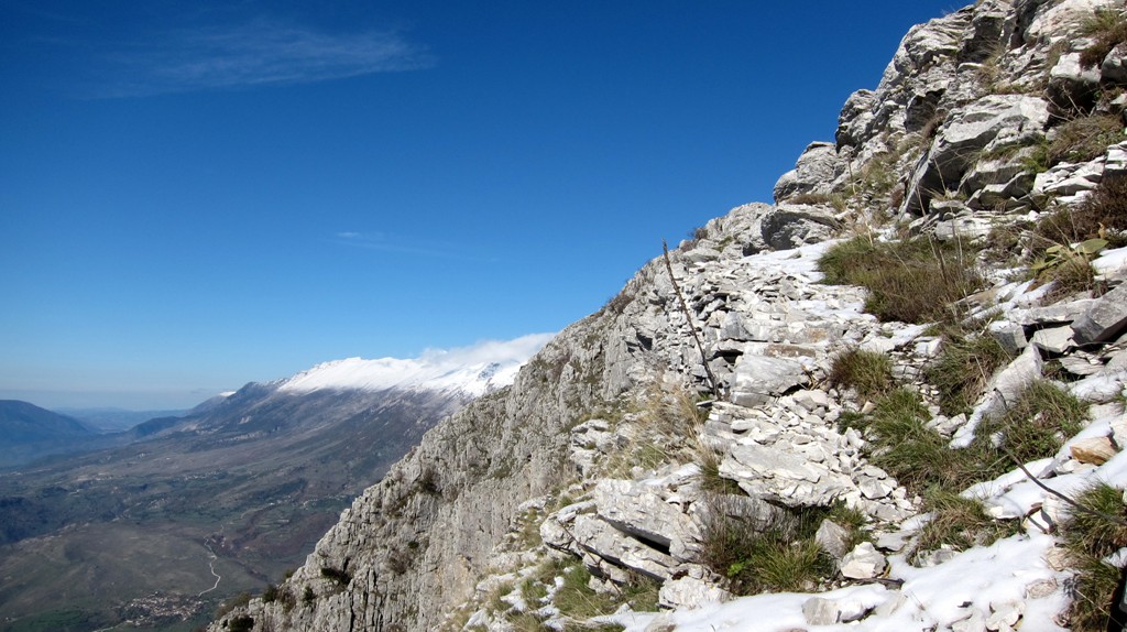
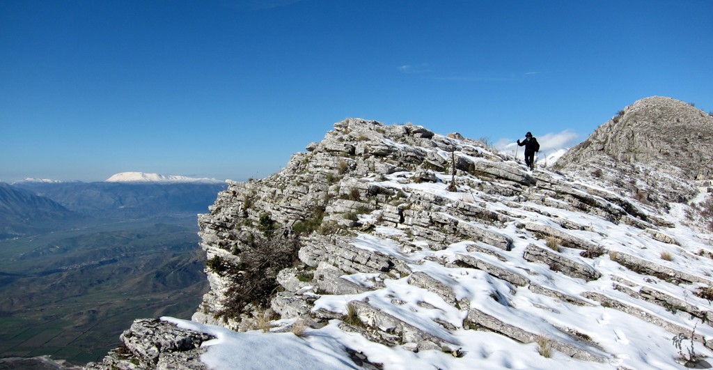
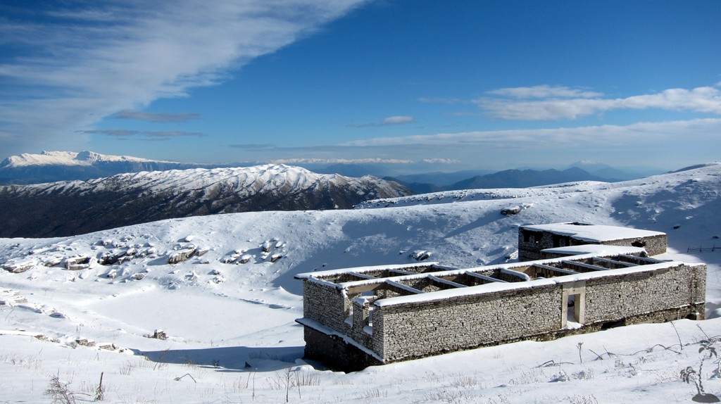
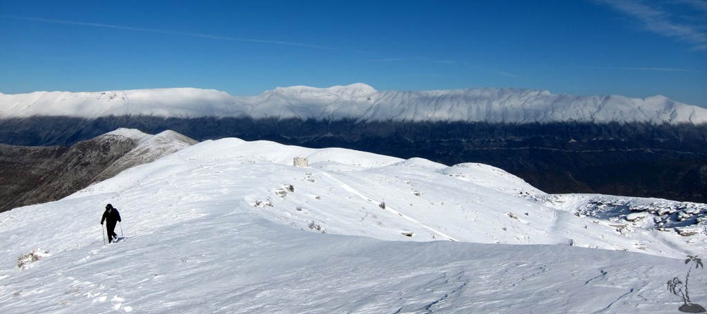
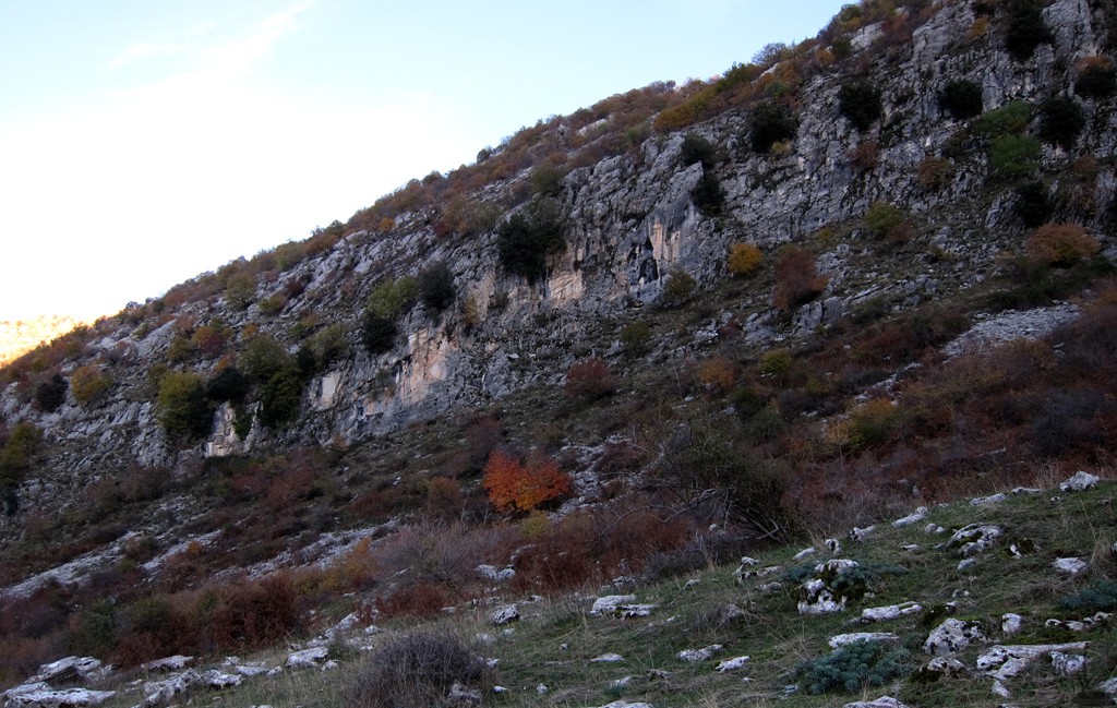
The path may have been maintained many years ago, when the military installations near the summit were still serviced. Now, the path is difficult to make out at times, and even more difficult when there is snow cover. The terrain is very steep, and the trail is exposed for long stretches. We do not recommend it for novices, and certainly not for a descent. Good orientation is very important as missing the trail may get you very quickly into very uncomfortable terrain. We lost the trail once, but found it again with our GPS.
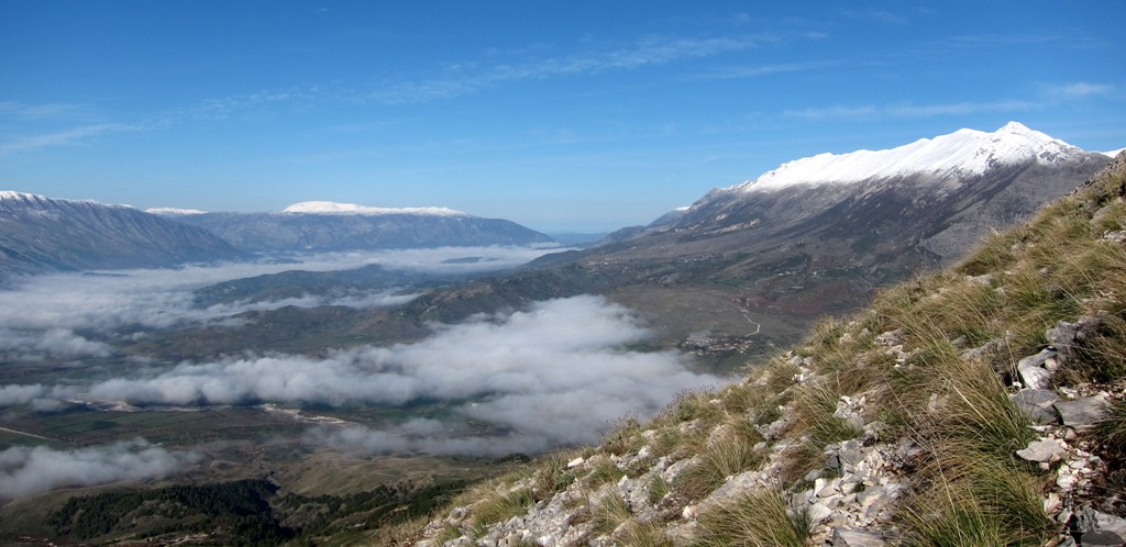
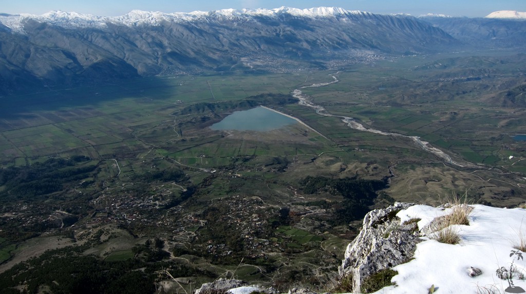
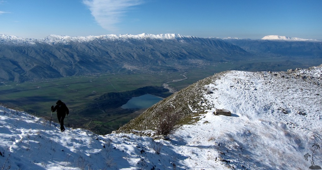
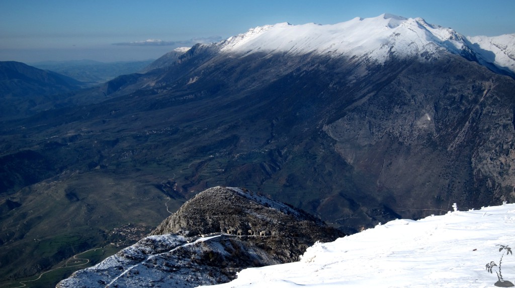
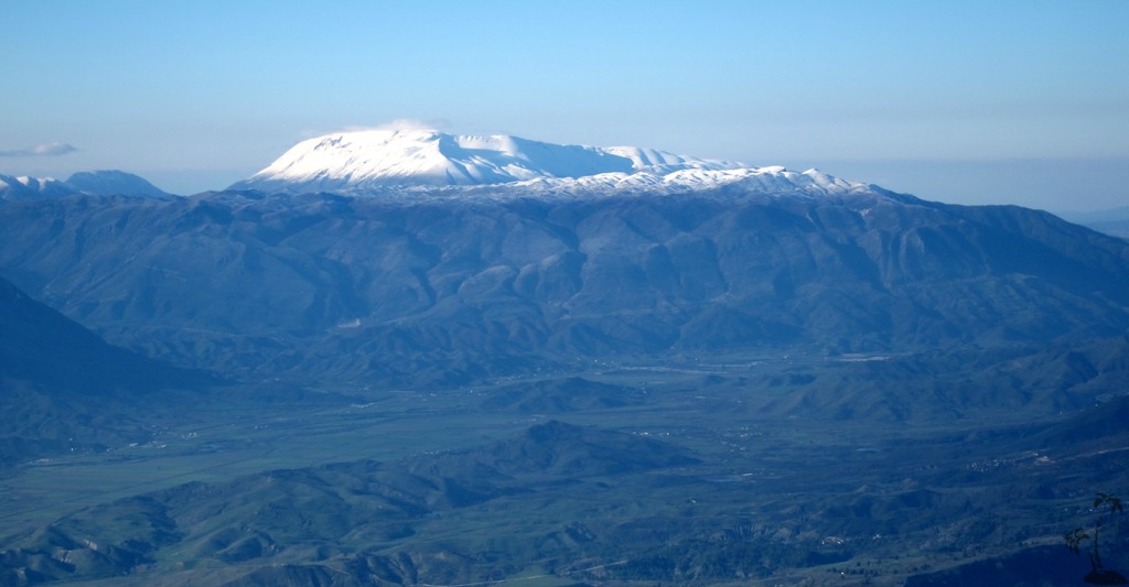
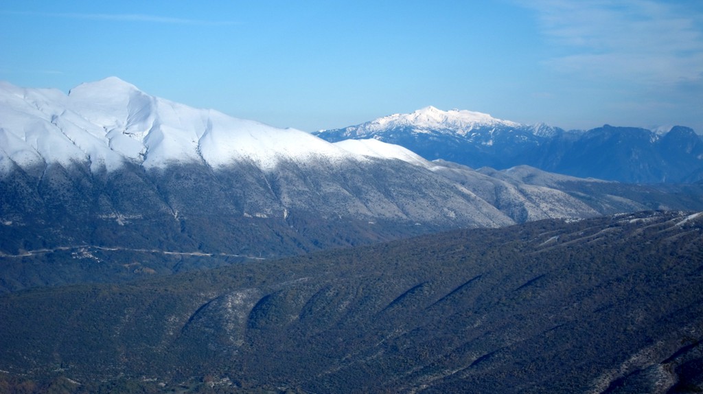
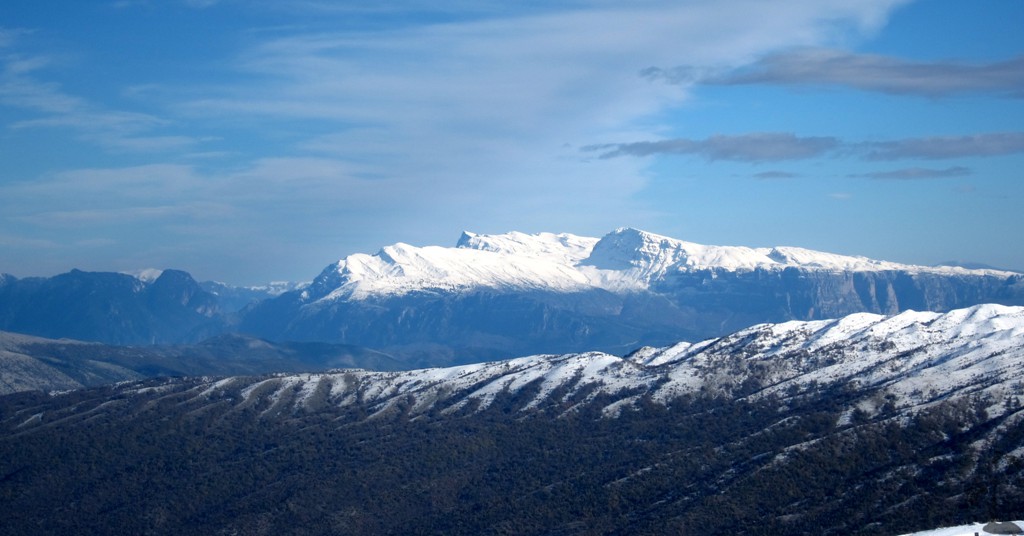
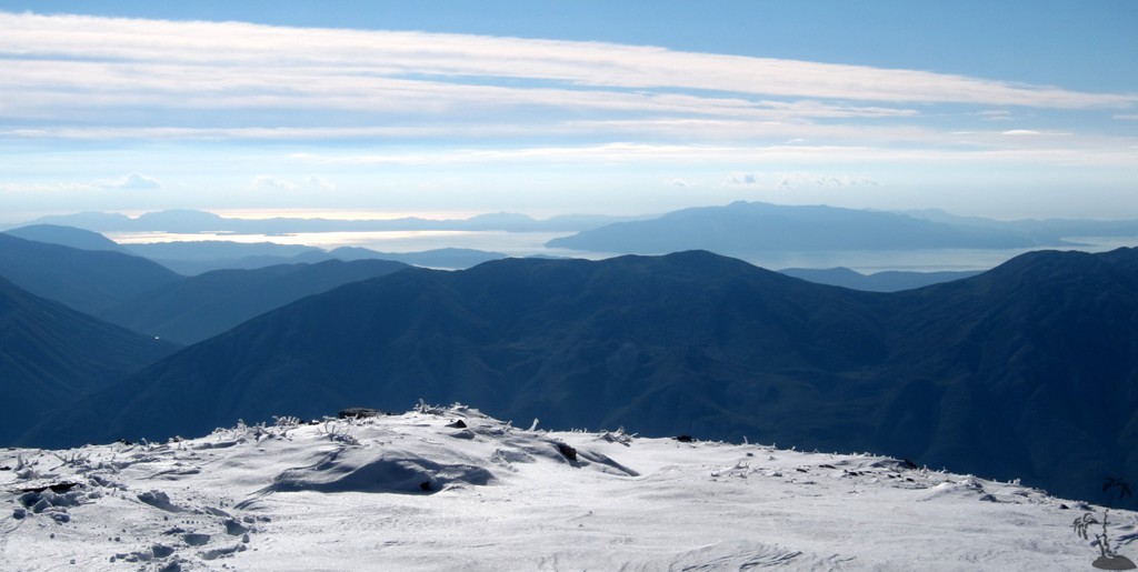
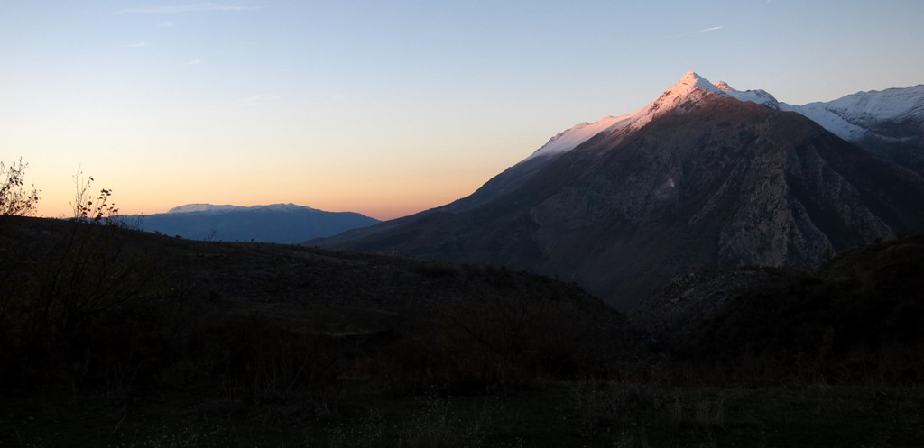
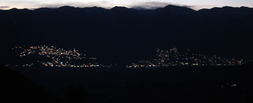
Once you reach the ridge, you can relax. It is still more than 250 Meter elevation gain to the summit, but there is no exposure and you can choose your way. The views from the summit, especially on a cold but beautiful sunny day, were nothing less than astounding, across the Drinos Valley with Gjirokaster and the Free State of Lazarat, towards Kendervices, Cajupi, Nemercke, Smolikas and Tymfi, Mourgana and Korfu Island.
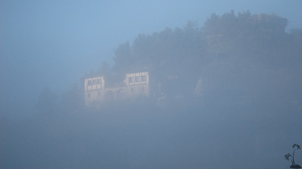
Of course, days at the end of November are very short. Since we had no appetite to return the way we came, we decided to take the old military road down to Labove e Siperme. The road is no longer in use, and those with 4WD ambitions do not need to even try: the road is blocked by rockfall in many places. But is makes for a stress-free descent. If you plan to do likewise, you should arrange for transport to pick you up in Labove e Siperme or Labove e Poshtme (better known as Labove e Kryqit). During summer, when there is longer daylight, you might be able to pay a visit to St. Mary's Church (see Treasures around Gjirokaster).
We failed to arrange for transport in advance, but managed to find a kind soul in Labove e Kryqit willing to taxi-drive us back to Libohove.
The Hike: We lost the trail once. To avoid this, at waypoint 05, leave our tracks and head for waypoint 06. From here, head to waypoint 07. Here, our tracks and the path reunite.
| Maximum altitude: | 1759 meter | ||||||||||||||||||||||
| Minimum altitude: | 545 meter | ||||||||||||||||||||||
| Cumulative height: | 1107 meter | ||||||||||||||||||||||
| Cumulative length: | 12.84 kilometer | ||||||||||||||||||||||
Difficulty
| difficult |
Time:
|
9 hour (in winter) |
Date of this record |
November 2013 |
Download GPS info: |
Mali i Buretos |
|
| |
|
|
|
|
|
|
|
|
|
|
|
|
|
|
The Access to the trailhead in Libohove: We have given the coordinates from the turn-off from the highway south of Gjirokaster to Libohove. When in Libohove, do not turn right onto the main town square, but follow the track left to the trailhead. It is hard to believe, but within Libohove it is 280 meter elevation gain from the town square to the trailhead. Of course you can also walk.....
| Maximum altitude: | 698 meter | ||||||||||||||||||||||
| Minimum altitude: | 197 meter | ||||||||||||||||||||||
| Cumulative height: | 502 meter | ||||||||||||||||||||||
| Cumulative length: | 11 kilometer from the turn off the highway | ||||||||||||||||||||||
Difficulty
| easy |
Time:
|
0.5 hour |
Date of this record |
November 2013 |
Download GPS info: |
Trailhead Buretos |
|
| |
|
|
|
|
|
|
|
|
|
|
|
|
|
|
General location and approach: Near Gjirokaster
Other Information: Remember, there are easier ways up to the mountain than described here !
GPS and trailmaps:
The map and
trailinformation is generated by
![]() , based
on GPS information collected from the actual hike. Waypoints
can be downloaded to a GPS device from Wikiloc. If necessary, use
GPSBabel to
convert GPS data to different formats. For more
hike descriptions by Palmtreetreeproduction, browse this
website or visit Wikiloc
and search for "Palmtreeproduction". You may also find
nearby trails from other authors.
, based
on GPS information collected from the actual hike. Waypoints
can be downloaded to a GPS device from Wikiloc. If necessary, use
GPSBabel to
convert GPS data to different formats. For more
hike descriptions by Palmtreetreeproduction, browse this
website or visit Wikiloc
and search for "Palmtreeproduction". You may also find
nearby trails from other authors.
Google Earth: You may also view the trail in 3D by clicking "view in Google Earth" when on Wikiloc. You need to have Google Earth installed on your computer.