PALM TREE PRODUCTIONS
back to Albania site back to hikes and climbs back to Locations and Travel
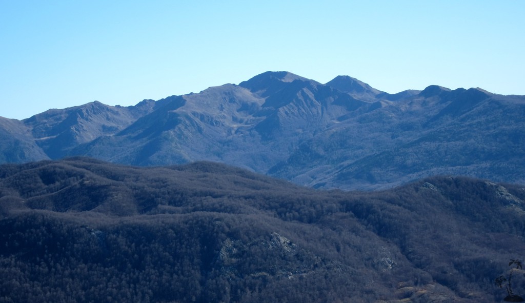
Mali i Gurit![]()
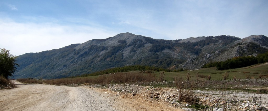
Summary: Mali i Gurit has been on our mind for quite some time, as it is a prominent mountain seen from Librazhd. The road from Librazhd to Peshkopi - now being upgraded - leads past its foot at Fushë Studën.
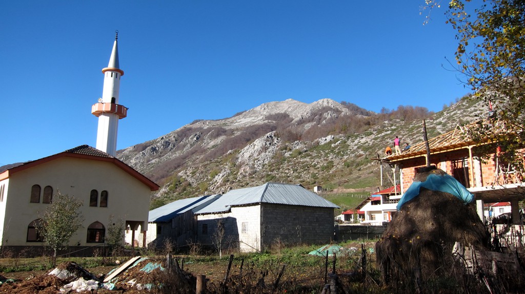
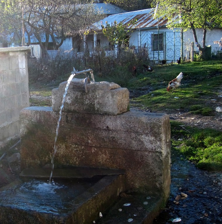
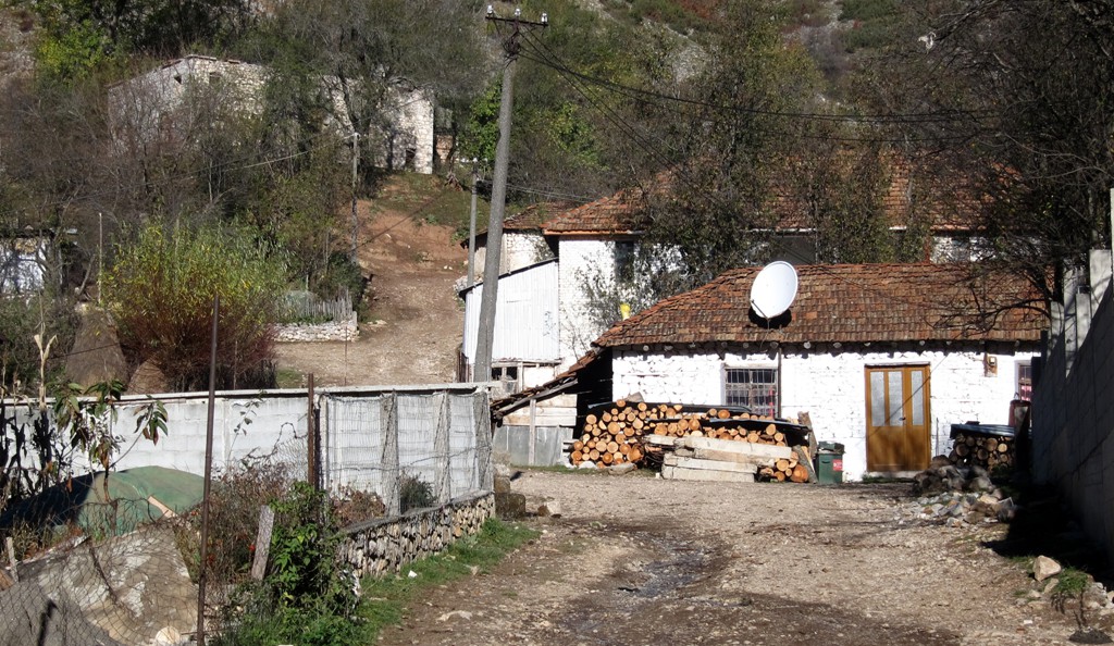
Fushë Studën and Stebleve are central to the Jablanica - Shebenik National Park, though there is not yet much infrastructure. Some cabins have been under construction near Stebleve for the past several years, and Hotel Hasa in Studën has been renovated but is still very basic.
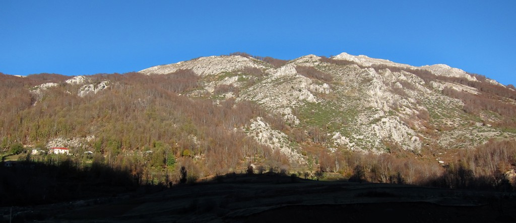
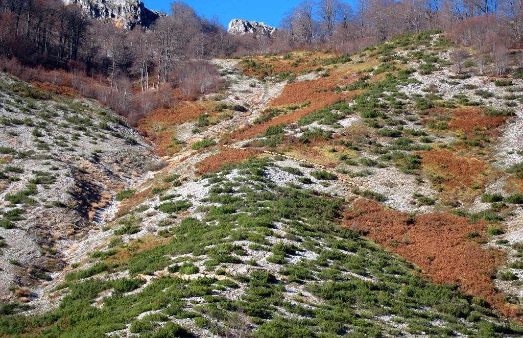
Mali i Gurit may not seem very high when in Fushe Studën, but it still is a respectable mountain. There are some logging roads that lead close to its summit, and there are some defunct military installations. It is possible to follow some roads for very short stretches, but most of the ascent is along narrow trails, sheep trails, or without trail.
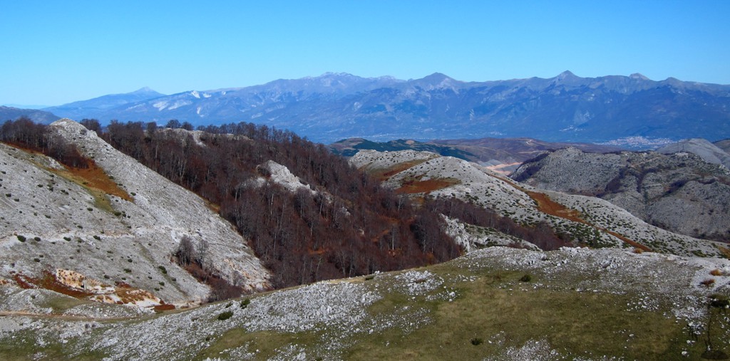
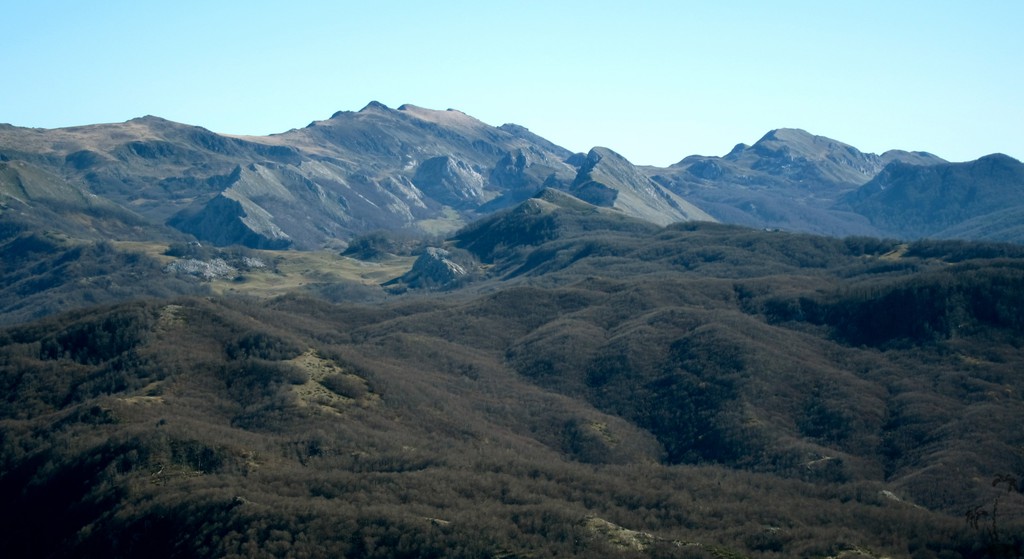
We happened upon a very cold but clear day, and views were almost like never had before. One easily could make out the mountains from as far as Kukes (Gjallica Mountain) in the North, and Valamares and Tomorri in the South. And of course views reached from the Macedonia border in the East to Dajti Mountain in the West.
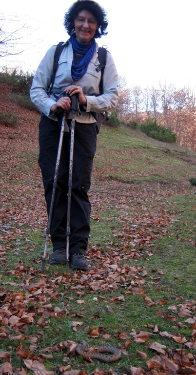
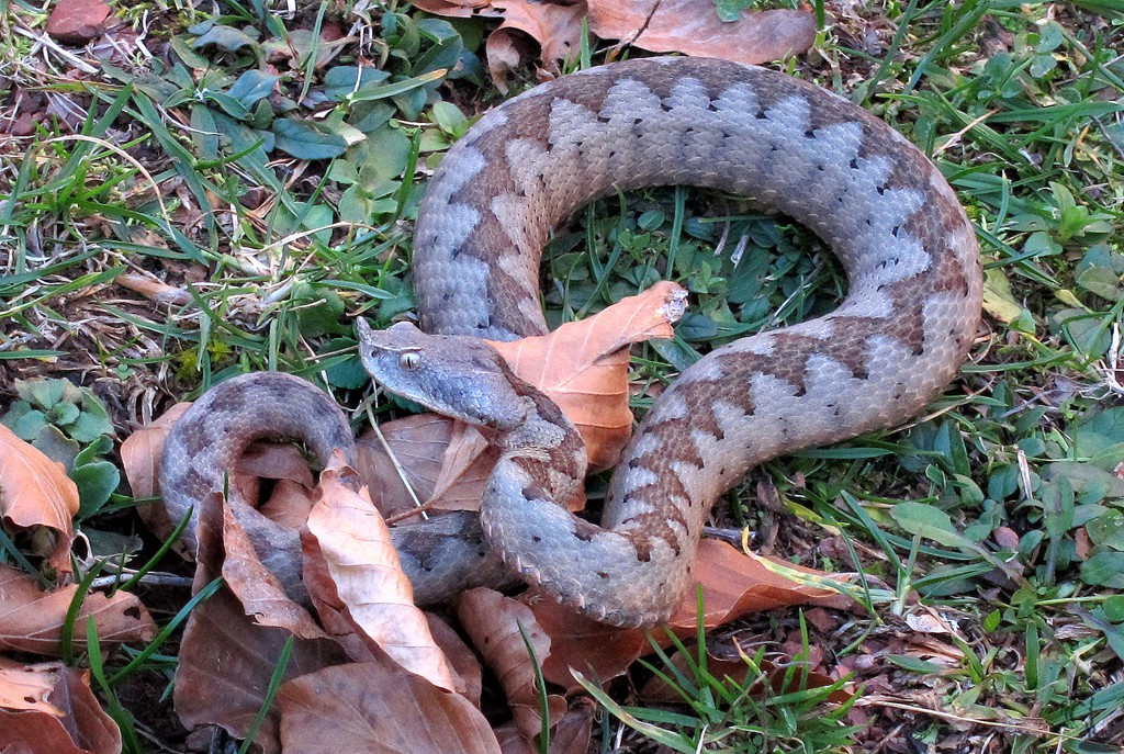
A special bonbon of the trip was our encounter with a horned viper, sometimes considered to be the most venomous snake in Europe. It didn't bother us, and we didn't bother it, and we departed leaving it motionless in the soon-to-be freezing night.
The Hike: We continued from the summit towards waypoint 12, which is what appears to be summit when seen from Librazhd. This did add about two kilometers to the hike.
| Maximum altitude: | 1821 meter | ||||||||||||||||||||||
| Minimum altitude: | 1124 meter | ||||||||||||||||||||||
| Cumulative height: | 776 meter | ||||||||||||||||||||||
| Cumulative length: | 10.27 kilometer roundtrip | ||||||||||||||||||||||
Difficulty
| moderate |
Time:
|
5 hour |
Date of this record |
November 2013 |
Download GPS info: |
Mali i Gurit |
|
| |
|
|
|
|
|
|
|
|
|
|
|
|
|
|
General location and approach: Near Fushë Studën, between Librazhd and Peshkopi. The old road (via Stebleve, see separate page) can still be used, but will take longer than the new road from Fushe Studën via Borovë (also see separate page)
Other Information: We hope that accomodation facilities will soon improve, when the construction of the new road will be completed. Until then, if you decide to stay in Hotel Hasa, bring your own breakfast. There are two basic restaurants in Fushë Studën that provide home cooked meals.


Google Earth: You may also view the trail in 3D by clicking "view in Google Earth" when on Wikiloc. You need to have Google Earth installed on your computer.