PALM TREE PRODUCTIONS
back to Albania site back to hikes and climbs back to Locations and Travel
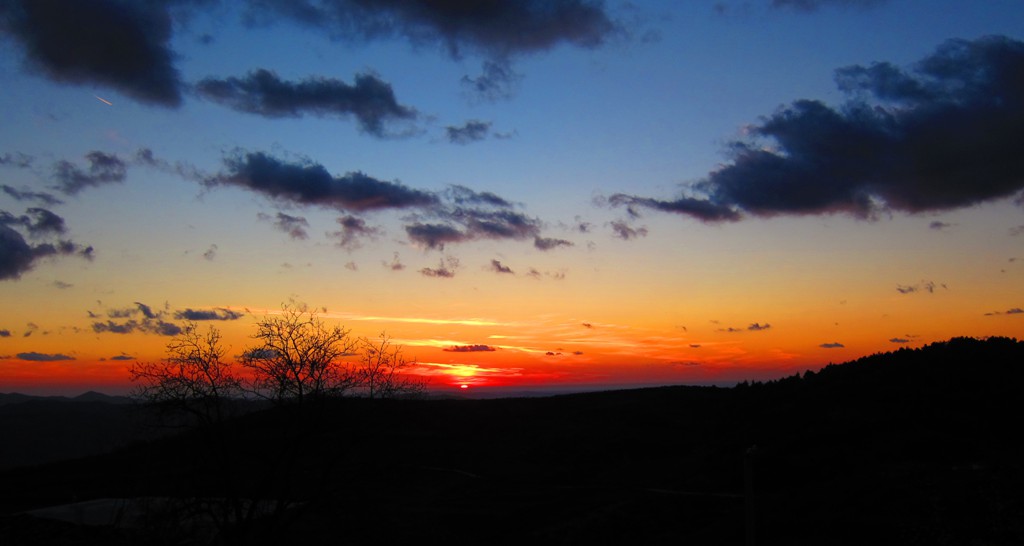
Around and About Mali i Shpiragut![]()
![]()
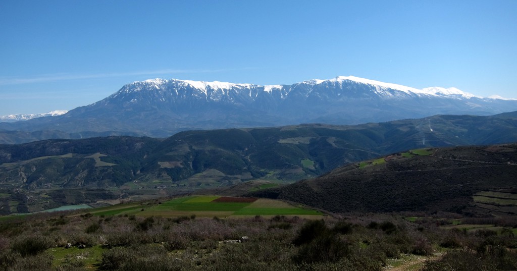
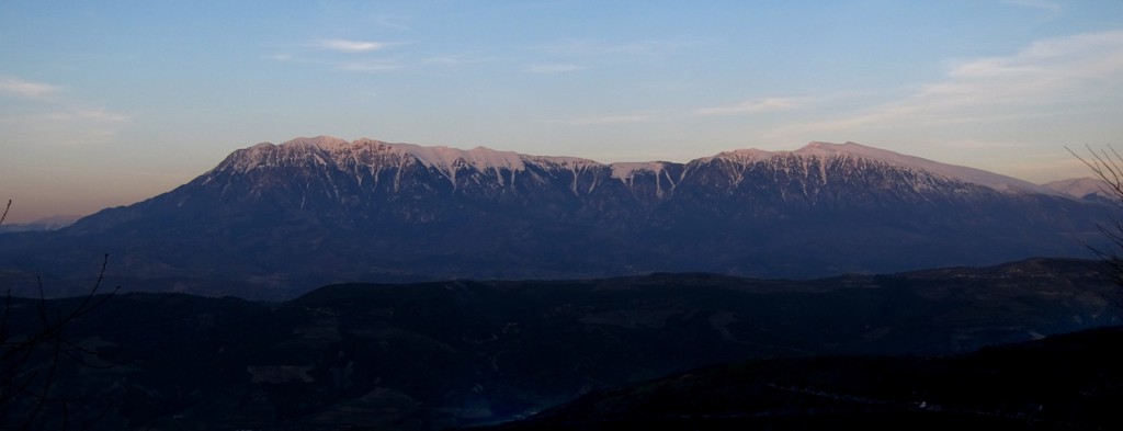
Summary: Mali i Shiragut - previously known as "Enver Hoxha Mountain" is the little brother of well known Tomorri. Shpiragut is seen prominently when approaching Berat, though the gaze of the visiting tourist is usually attracted to the much more dramatic Tomorri.
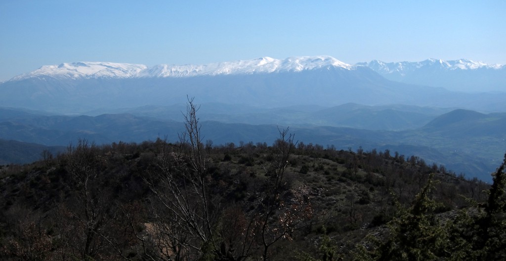
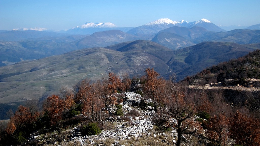
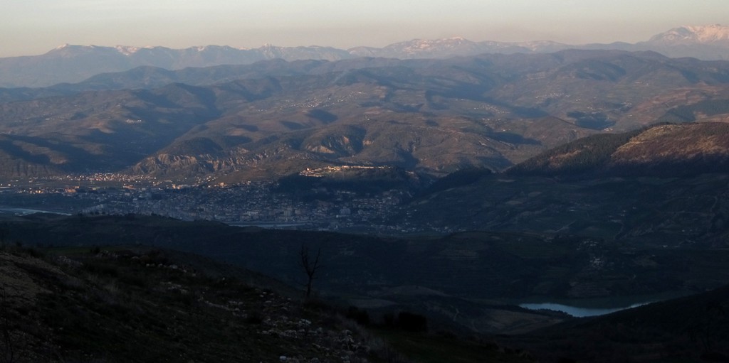
But as so often, the best views are not to be had from the highest mountains, but from those from which the highest mountains can be seen at close range and in their full glory. We dare say that the best views of Tomorri can be had from Shpiragut (or the road leading to Mali i Shpiragut).
But this is not the only reason to pay a visit. Shpiragut is interesting in itself.
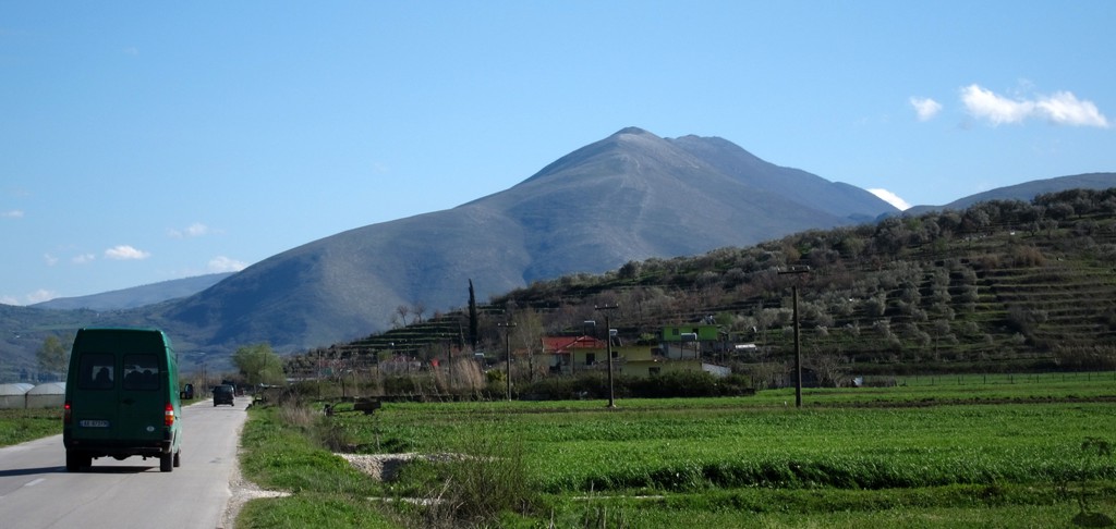
The Drive: This is some varied driving in the vicinity of Berat - mostly very easy - even on asphalt - and some easy 4WD. We recommend this sort-of-circuit or parts of it:
a) when you want to go to Berat from the Tirana or the coast, and have a little time to spare. Take the turn off in Ura Vajgurore and follow to Mbreshtan (on very good dirt road). From here follow the asphalt road to Berat, crossing the Osumi River in Berat.
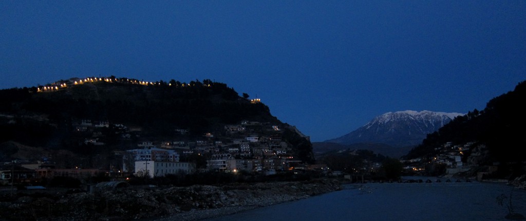
b) when you want to reach our recommended trailhead to climb the "Enver Hoxha Mountain", nowadays known as Mali i Shpiragut. In this case, follow the asphalt road out of Berat across the Osumi river until the trailhead (see separate wikiloc trail)
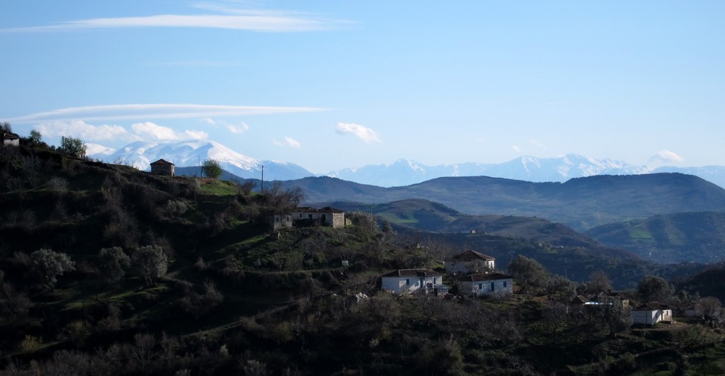
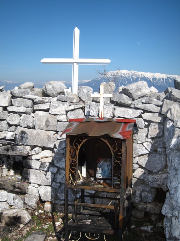
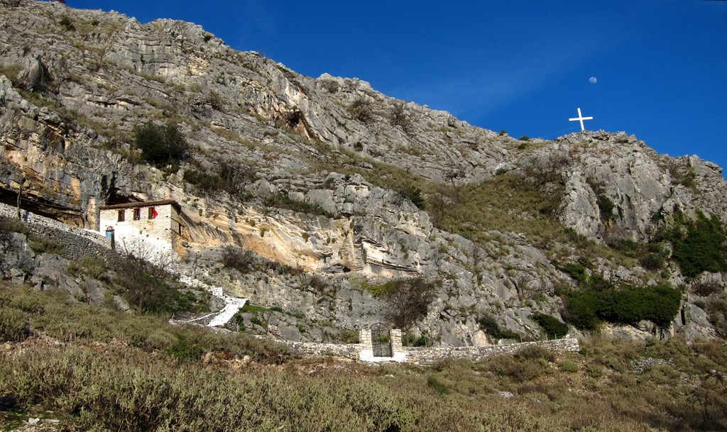
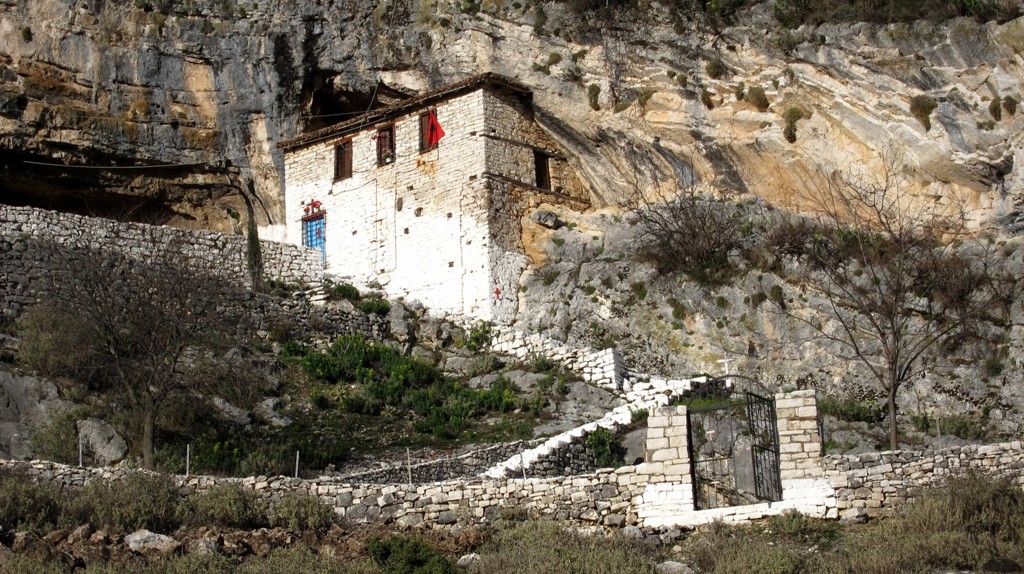
c) you may continue to drive on the asphalt road to th village of Sinjë, and admire a an old church built inot the rock wall of Shpiragut mountain. Not comparable to the Pyramid of Gizeh, but a very nice spiritual place especially in the evening light.
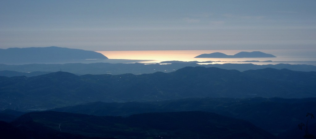
d) when you want to enjoy the most marvellous views of Tomorri Mountain, the vicinity around Berat, and the Ionian cost and some of the "southern mountains" of Albania. In this case follow the dirt road to the village of Rakovë, and make a circuit around the Shpiragut mountain to the village of Mbjeshovë. Then, it is only three kilometers to Rakovë, and we will await your posting on how to do this by car or donkey.
All in all, any variations of these tour offer incredible views, much different from the usual rush from one big city to the other.
| Maximum altitude: | 739 meter |
| Minimum altitude: | 20 meter |
| Cumulative height: | 1250 meter |
| Cumulative length: | 54 kilometer |
| Difficulty | easy |
| Time: | 5 hours for everything |
| Date of this record | March 2013 |
| Download GPS info: | Shpiragut Drive |
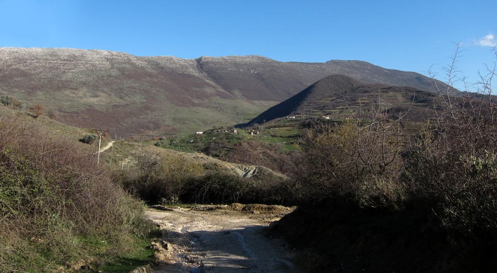
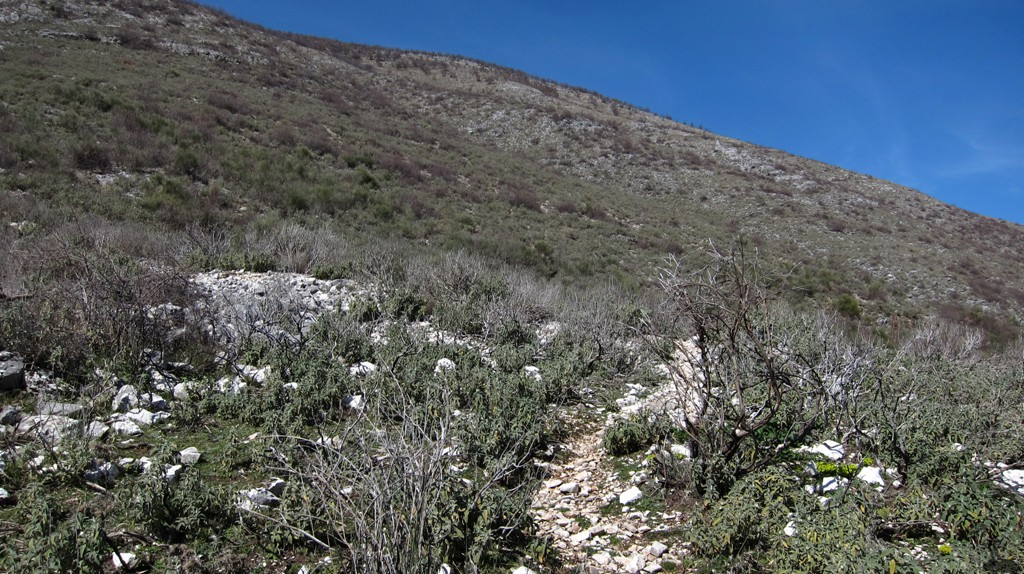
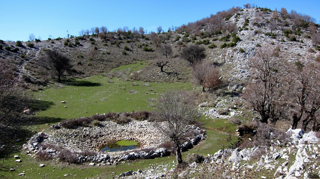
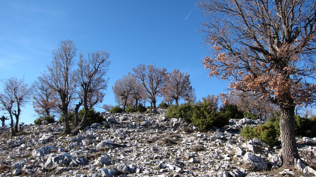
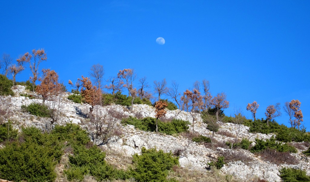
The climb: It is not a difficult hike, and absolutely worthwhile. From the distance, it appears as a mountain with stripes - many ridges leading from the main ridge to the east and the west. It is possible to pick virtually any of these, and gain the main ridge.
The easiest trail would be from the village of Sinjë, at Shpiragut's southern end, by following a mining road up the mountain, close to the summit. We suggest to reserve this for the return trip, as one will face the marvellous views to the mountains of southern Albania.
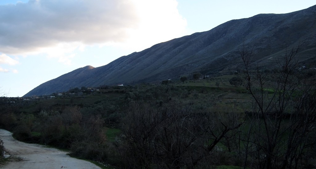
A traverse of Shpiragut - preferrably from the south to the north, would be a worthwhile and rewarding undertaking, provided you can arrange for a suitable drop-off or pick-up at the trailhead and trail-end. Both are now aided by a very good asphalt road (not seen on google earth as of March 2013), which makes access to Mali i Shpiragut a breeze. There are many furgons (minibusses), busses, and taxis plying the road to Berat.
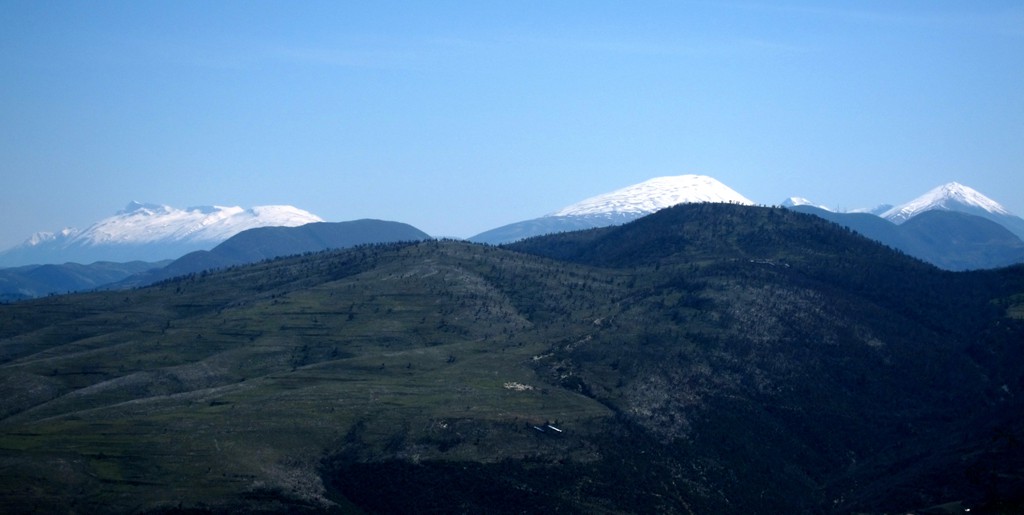
We stroke particularly good luck on one of the fine weekends in March 2013. Views in all directions were superb. It was possible to see mountains across the border to Greece, and Dajti Mountain near Tirana and even Mali i Dejes near Burrel seemed to be within easy reach.
| Maximum altitude: | 1193 meter |
| Minimum altitude: | 612 meter |
| Cumulative height: | 590 meter |
| Cumulative length: | 9.7 kilometer roundtrip way |
| Difficulty | easy |
| Time: | 4 hours |
| Date of this record | March 2013 |
| Download GPS info: | Shpiragut Climb |
General location and approach: West of Berat. Mali i Shpiragut can be explored when the objective is to reach Berat. Rather than hanging around in Tirana, lieave a little early and explore Mali i Shpiragut!
Other Information: Legends have it that Tomorri and Shpiragut fought over Berat. As a visitor, your gaze will always be drawn to Tomorri. But the best place to see it all (unless you are a mountaineer) is Mali i Shpiragut!


GPS and trailmaps: The map and
trailinformation is generated by
![]() , based
on GPS information collected from the actual hike. Waypoints
can be downloaded to a GPS device from Wikiloc. If necessary, use
GPSBabel to
convert GPS data to different formats. For more
hike descriptions by Palmtreetreeproduction, browse this
website or visit Wikiloc
and search for "Palmtreeproduction". You may also find
nearby trails from other authors.
, based
on GPS information collected from the actual hike. Waypoints
can be downloaded to a GPS device from Wikiloc. If necessary, use
GPSBabel to
convert GPS data to different formats. For more
hike descriptions by Palmtreetreeproduction, browse this
website or visit Wikiloc
and search for "Palmtreeproduction". You may also find
nearby trails from other authors.
Google Earth: You may also view the trail in 3D when viewing it in Google Earth, which you need to have installed on your computer. The 3D perspective allows a good preview of gradients, steepness, possible views and is generally helpful when planning a trip.