PALM TREE PRODUCTIONS
back to Albania site back to hikes and climbs back to Locations and Travel
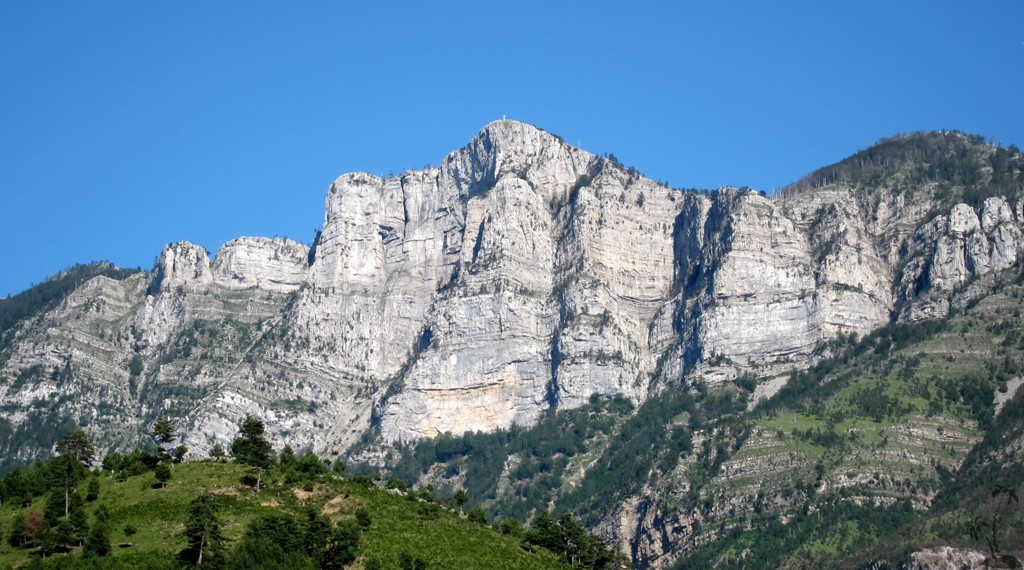
Guri i Nuses![]()
![]()
Summary: We continued our tour of the Rocks of Mirdita with Guri i Nuses, which translates into the Stone of the Bride. Don't even try to discover the long lost legend behind the name. Others tried before, including Ndue Dedaj (see www.albasoul.com), and abandoned the attempt in abhorrence over the endless variations of young girls' death and self-sacrifice, with or against their own will.
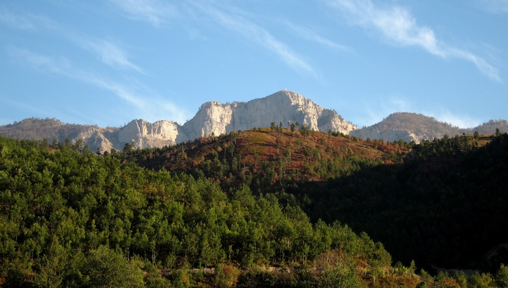
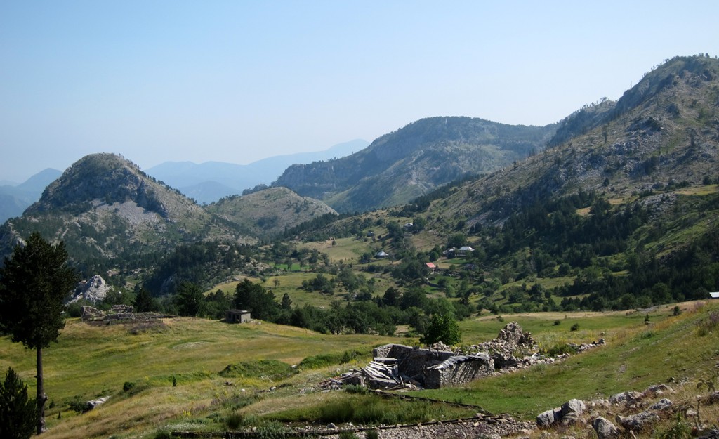
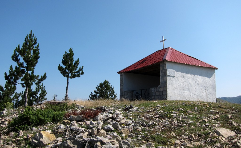
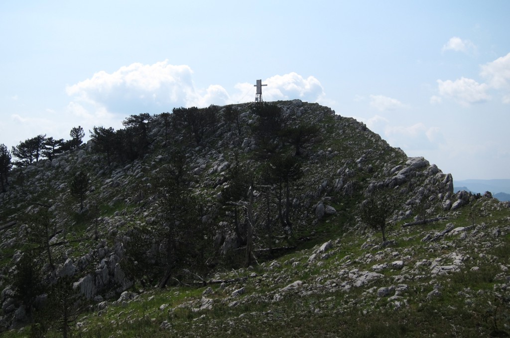
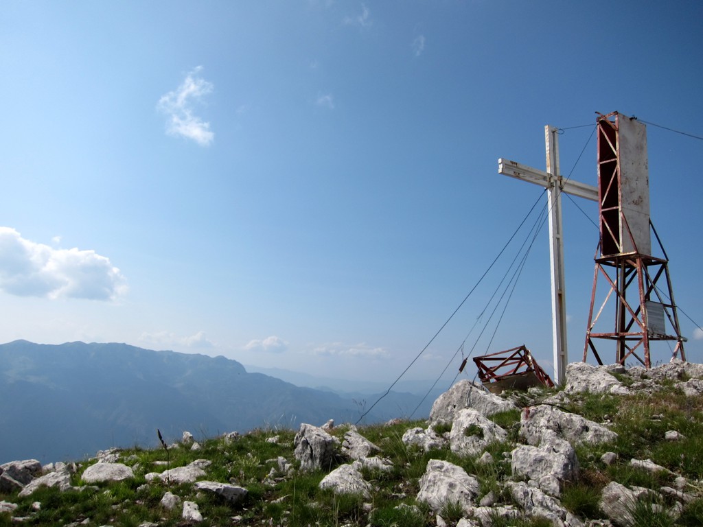
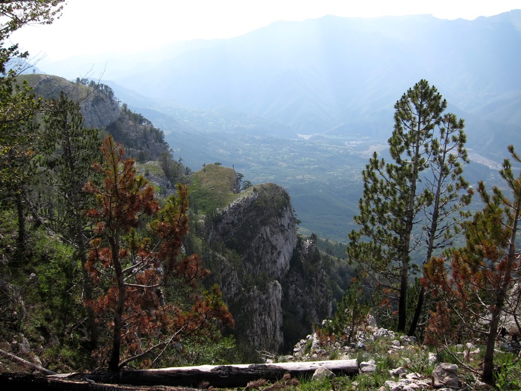
When travelling on the Tirana - Kukes highway at a speed of 100 kilometers an hour, Guri i Nuses - for all its impressive glory and its summit cross - can only be seen for a split second. Don't even crane your neck along the way, unless you know exactly where to stop. Better, exit the highway at Fan Center and take a minute to gaze at the rocks that tower almost 1000 Meter above you. Of course, Guri i Nuses is better seen from the village roads across the valley, or perhaps from the slopes of Munelle Mountain (whose summit is also difficult to glimpse when speeding through the Fan valley).
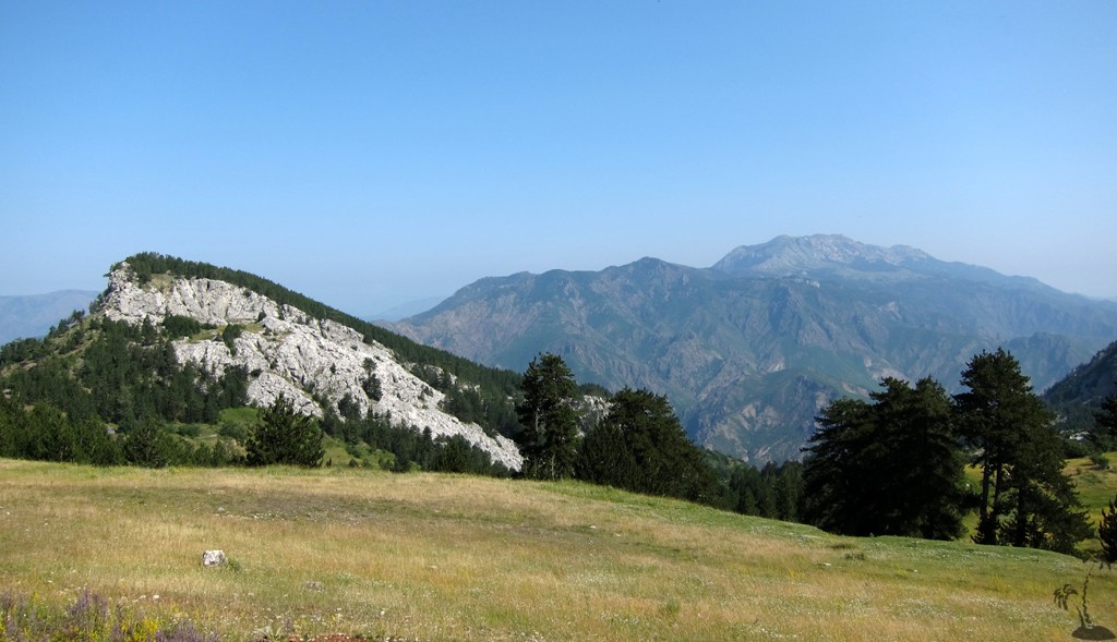
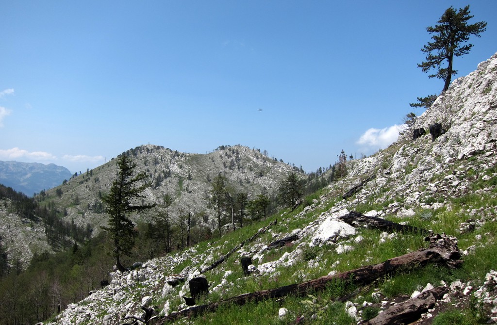
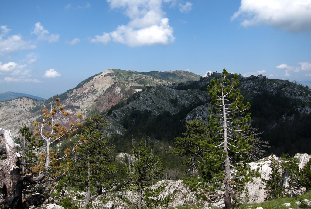
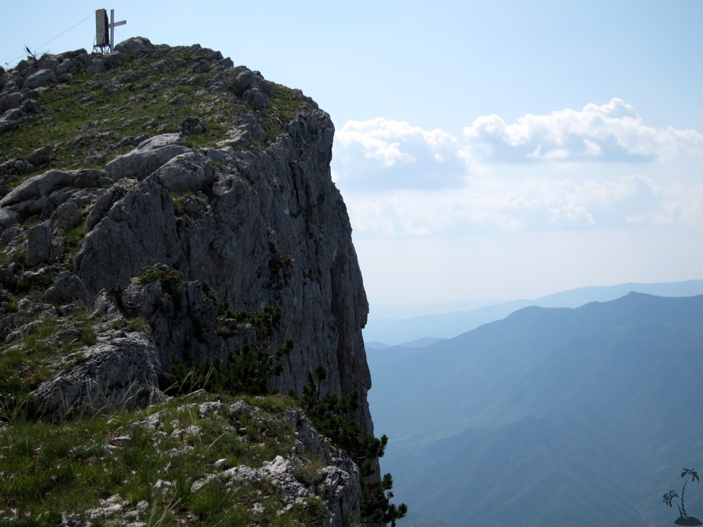
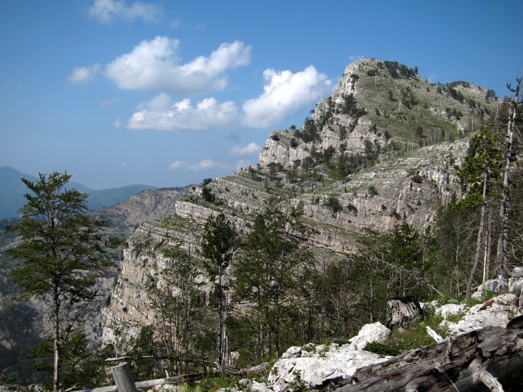
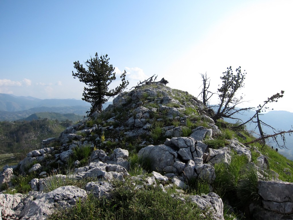
Guri i Nuses, with 1837 Meter altitude is not a summit in the strict sense. The highest point of the range to which Guri i Nuses belongs is Maja e Zebe, a rather benign looking knob topping out at 1987 Meter. But Guri i Nuses wins the first prize for drama and - as we shall see - remoteness.
Travelling off the highway in Mirdita is always different from travelling elsewhere in Albania. Mirdita used to be the heartland of the Kanon with its gruesome traditions, and poverty was rampant. Fatos Baxhaku in his book Në Mirditë & rreth e rrotull describes how the men of Mirdita could not expect to live much longer than 50 years. He quotes a local physician who met a man of very old age in apparent exceptional health, who explained his conditions by having been incarcerated for more than 20 years by the communist regime, and thus did not have to work in mines breathing the dust and suffering an early death from silicose. But most prisoners had to work in the mines too, including the notorious Gurth Spaç. Gurth Spaç is pictured on our off-road trip from Reps to Fushe Arrez. Either way, the people of Mirdita did not have the best choices.
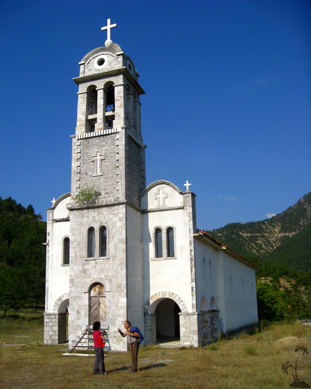
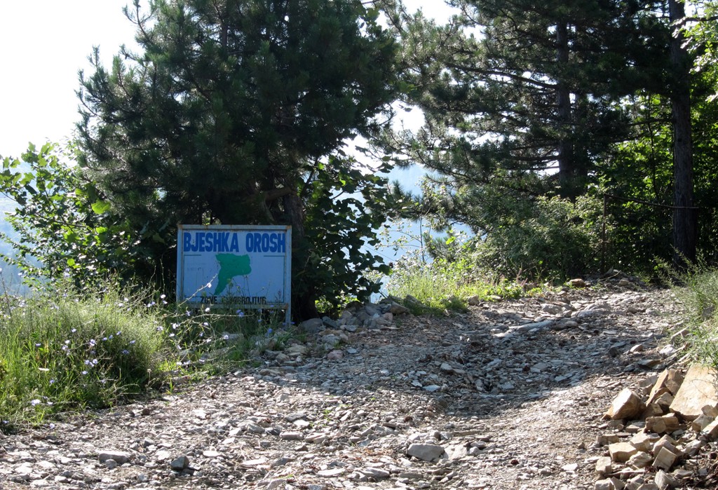
The roads up to the Lajthizë (Hazelnut) plateau, from which a hike to Guri i Nuses might be undertaken, also lead past the village of Orosh. Orosh is the place of doubtful fame - including in the book "Broken April" by Ismail Kadare, where those who killed in blood feud had to go and pay their dues to the self-appointed princes of Mirdita. Today the renovated former abbey greets you before you arrive at Orosh.
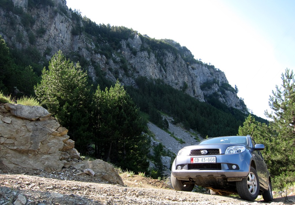
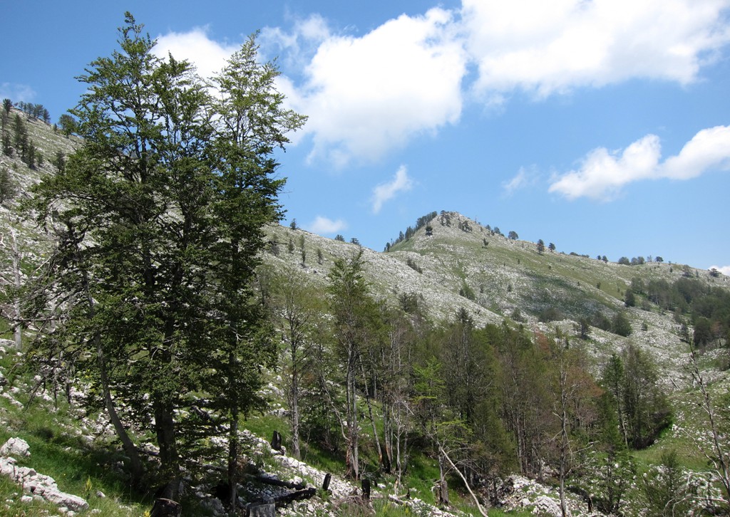
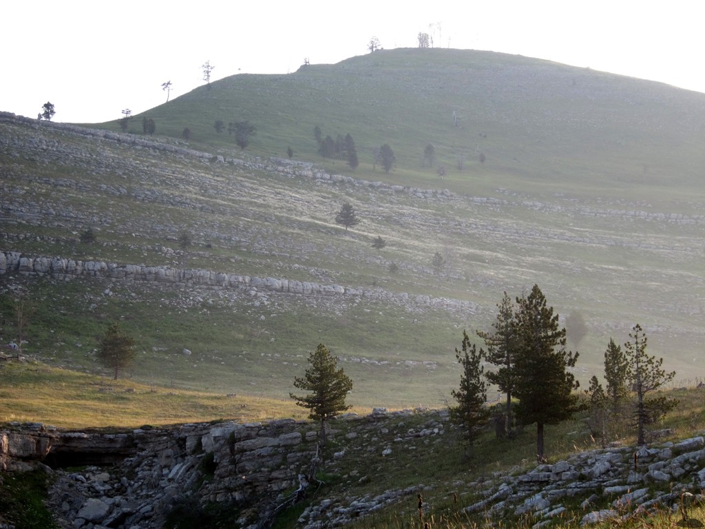
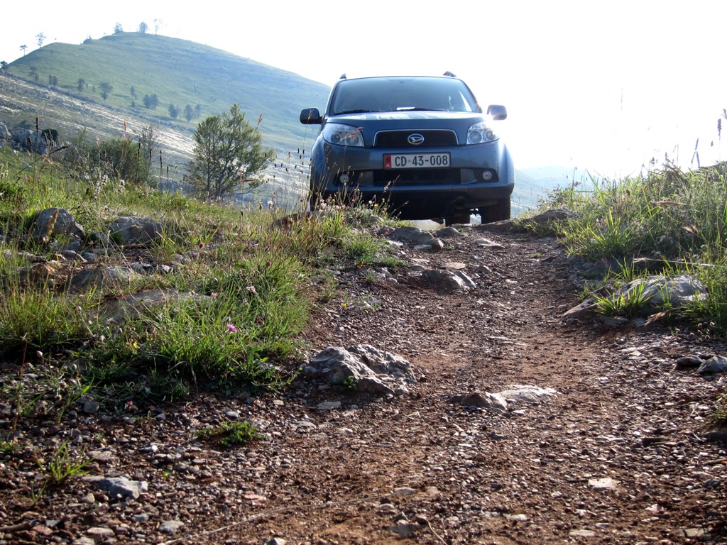
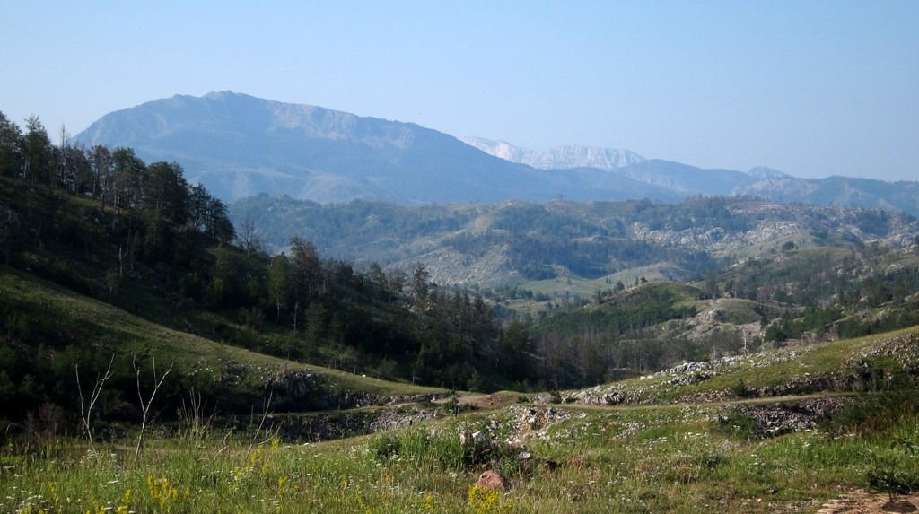
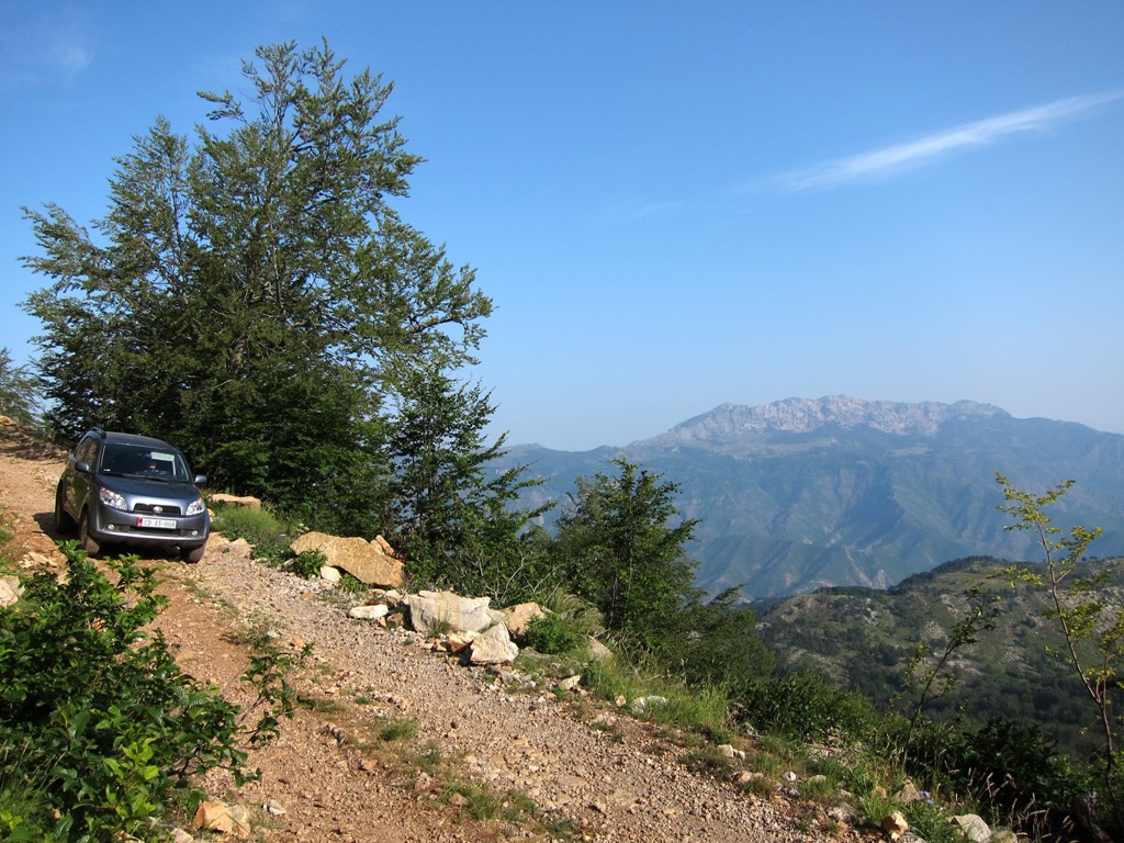
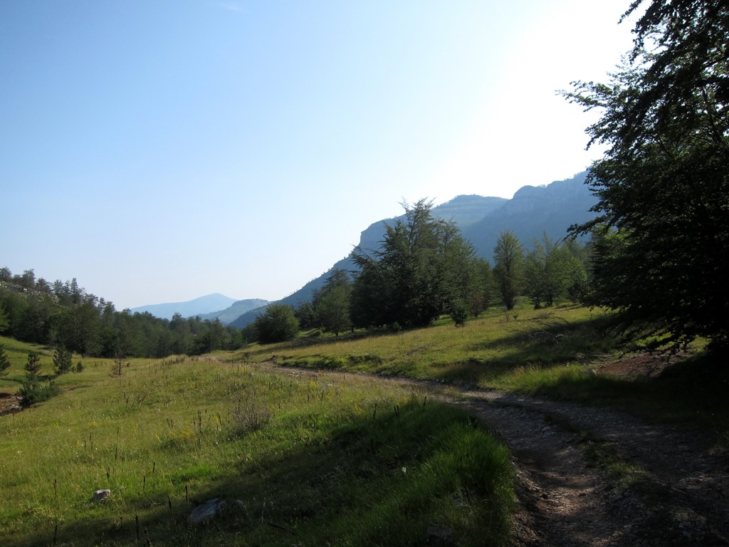
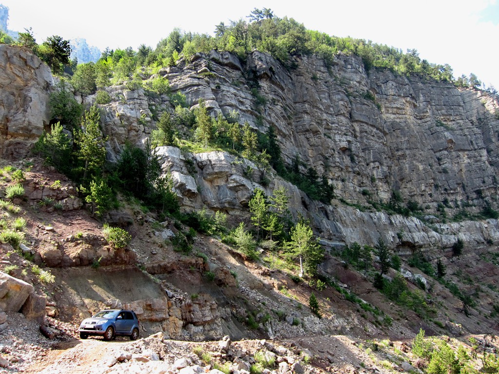
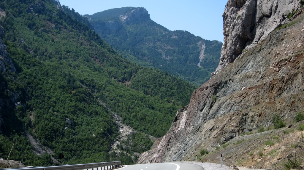
The Drive: To reach the Lajthizë plateau, we took the shortest trail from Reps, past the village of Orosh. Because of the new highway, it is tricky to find the starting point. Pay attention at waypoint 01, which opens a three-way fork, with either the left or middle track being allright. At waypoint 02, you may go right for a short excursion to Orosh. From then onwards the road is difficult and very rocky, steep and exposed in parts. Views across the Fan valley expand as you climb higher and higher. At waypoint 11 you'll meet a better - but longer - road to the Lajthizë plateau. At waypoint 12 you reach the pass where the road crosses onto the plateau at an altitude of 1400 Meter, and where the views open up to the south, towards Lure Mountain.
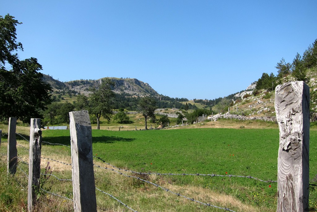
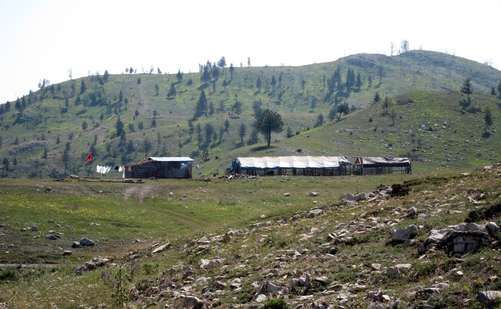
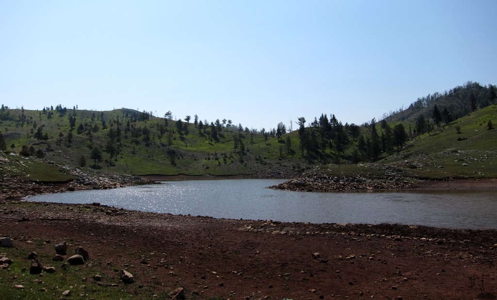
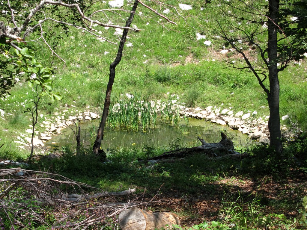
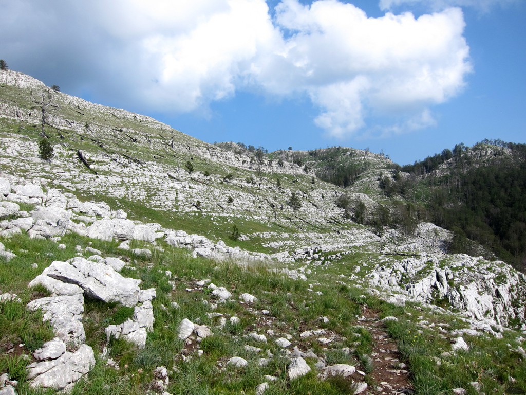
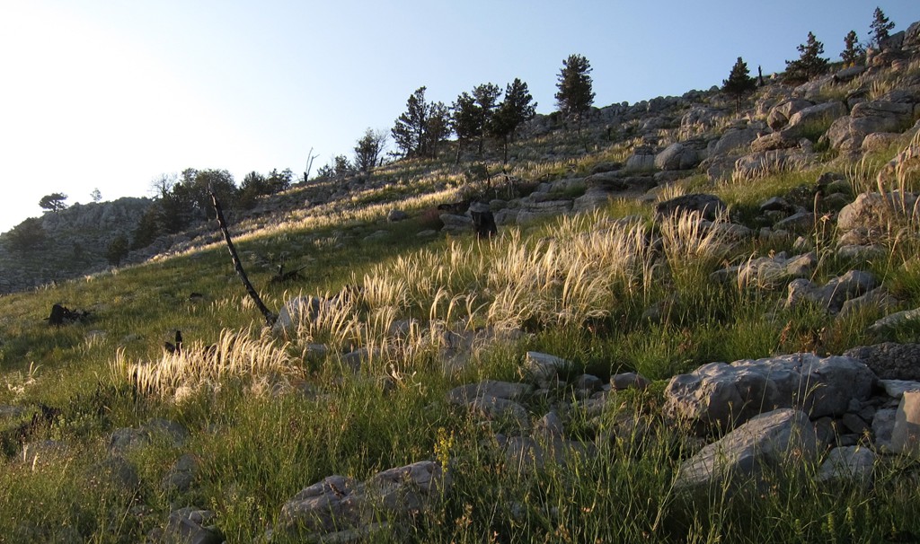
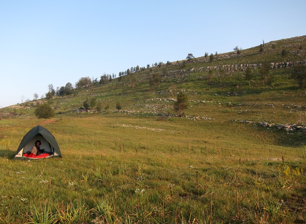
For a while continue across the Lajtizë plateau - which is not a plateau in the strict sense but an undulating terrain with semi-permanent summer pastures and camps (Bjeshke). At waypoint 14, shortly after a lake, turn left onto a minor road. This road leads back to the plateau's edge. Before descending, we turned right at waypoint 15 for a few kilometers for our ascent to Guri i Nuses. The trail for this excursion is difficult. If you don't wish to hike or camp, you may continue straight on to the pass, for the descend back into the valley.
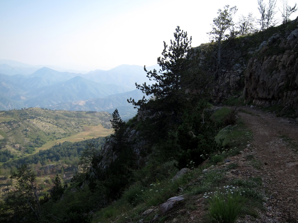
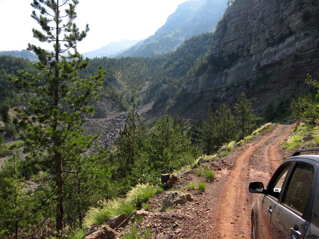
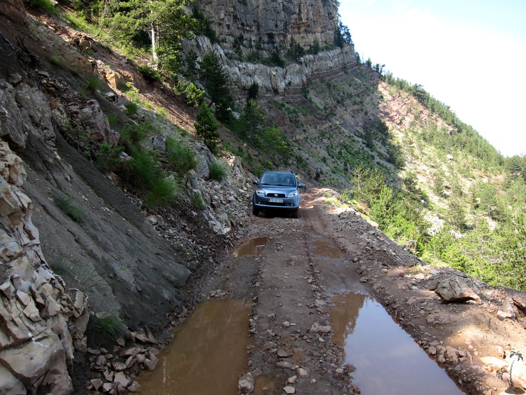
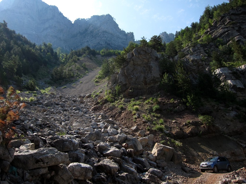
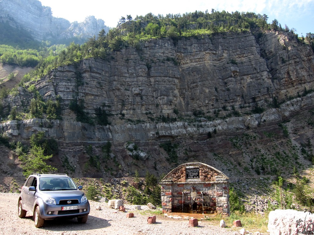
The road down from the pass begins dramatically, along steep drops. The road is narrow, and it is not always possible to check beforehand for oncoming traffic - though traffic can be expected to be low to non-existent. The road can have deep ruts caused by the heavy IFA trucks carrying timber from the mountains. The narrow wheelbase of our Terios allowed us to drive on top of the bumps; otherwise you need a very good ground clearance. The crux of the trip is where the road crosses the gorge below the cliffs of Guri i Nuses, which also is the place of a nicely protected well, Kroi Grurës. From here, you can relax as the dirt road is well maintained down back to Fan.
Arriving at the T-junction in Fan, the turn to the right will lead you (counter-intuitively) to Tirana, while the turn to the left will get you into Fan center and to Kukes.
| Maximum altitude: | 1446 meter |
| Minimum altitude: | 233 meter |
| Cumulative height: | 1400 meter |
| Cumulative length: | 42 kilometers |
| Difficulty | difficult |
| Time: | 5 hours without a camp |
| Date of this record | July 2013 |
| Download GPS info: | Reps to Lajthizë and Klos |
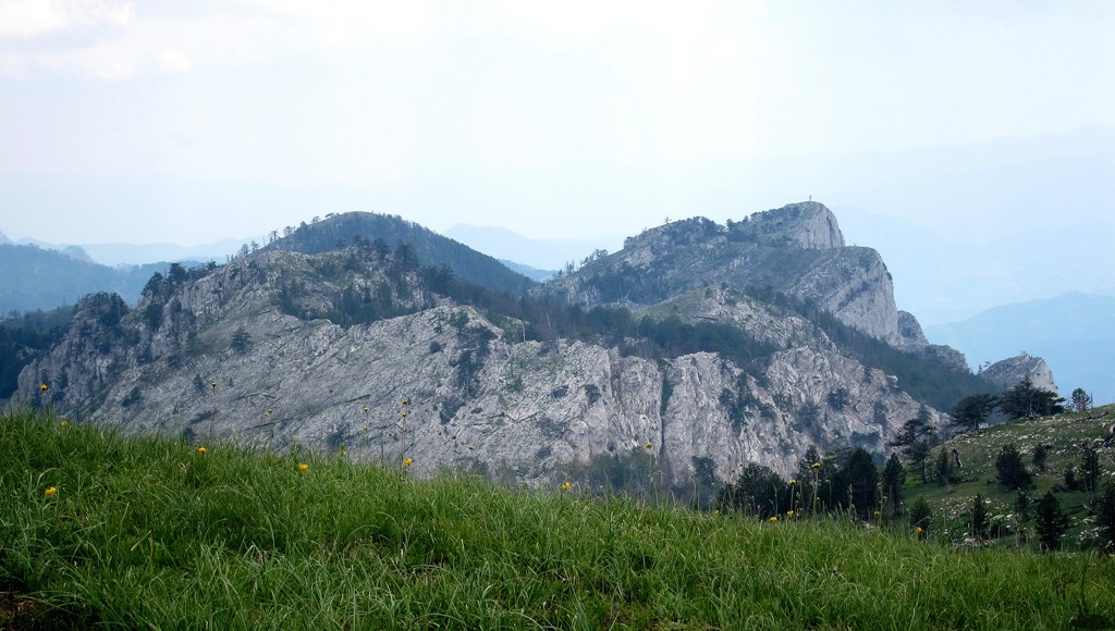
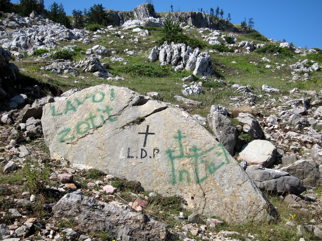
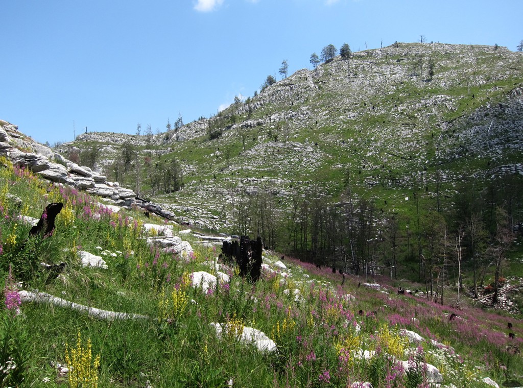
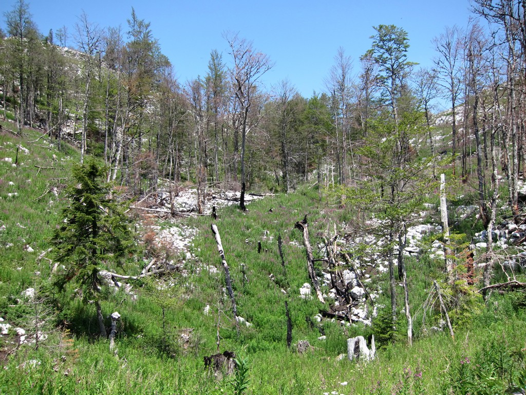
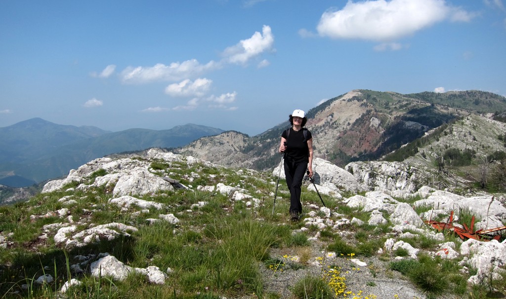
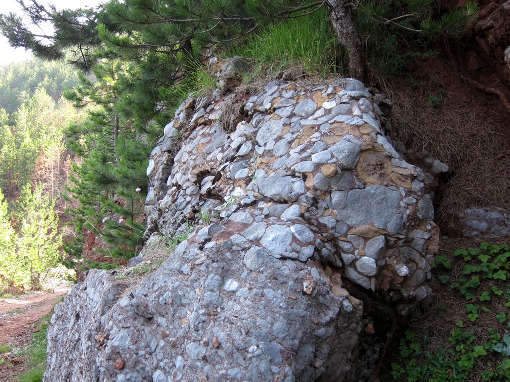
The Hike: Given the relative prominence of Guri i Nuses as a destination, with summit cross and exceptional visibility into the Valley, it is surprising that there are no established paths whatsoever, save for some very faint traces between waypoint E and F. But the terrain around Guri i Nuses is exceptionally confusing without clear views of where you are going. This makes for a rather torturous grass- and bushwhack. While beautiful to look at, movement is very difficult in the jumble of rocks, stones, dead trees, weeds and brambles. Treacherous carstic holes of uncertain depth make the passage less than straightforward. While after cleaning up the coordinates the GPS recorded a cumulative elevation gain of 663 Meter, the raw data had more than 775 Meter gain, accounting for the many more up and downs over the trail-less terrain. We gave the trail a difficult rating, owing to the difficulty of orientation and the exhausting hike.
Thus we are not sure whether to recommend this as a trail or leave it to your own imagination to find a better way. Having tried a different return path to our camp, we eventually joined our original trail, if this is to say anything.
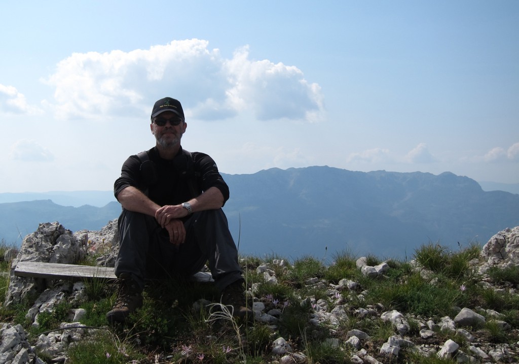
We camped at the trailhead upon our return. Probably better and depending on the season, you may camp there the night before you hike, to avoid more of the heat of the day.
| Maximum altitude: | 1837 meter |
| Minimum altitude: | 1411 meter |
| Cumulative height: | 663 meter |
| Cumulative length: | 12.1 kilometers return |
| Difficulty | difficult |
| Time: | 8 to 9 hours |
| Date of this record | July 2013 |
| Download GPS info: | Guri i Nuses |
General location and approach: There is an easier and a longer road up the Lajthizë plateau, but both our drive up from Reps and down to Klos and Fan center are hard to beat for beauty.
Other Information: It is possible that there is a hiking trail up Guri Nuses from the village of Klos. But we are not sure, as the traces of a path we saw betwen waypoint E and F were very much overgrown.
GPS and trailmaps: The map and
trailinformation is generated by
![]() , based
on GPS information collected from the actual hike. Waypoints
can be downloaded to a GPS device from Wikiloc. If necessary, use
GPSBabel to
convert GPS data to different formats. For more
hike descriptions by Palmtreetreeproduction, browse this
website or visit Wikiloc
and search for "Palmtreeproduction". You may also find
nearby trails from other authors.
, based
on GPS information collected from the actual hike. Waypoints
can be downloaded to a GPS device from Wikiloc. If necessary, use
GPSBabel to
convert GPS data to different formats. For more
hike descriptions by Palmtreetreeproduction, browse this
website or visit Wikiloc
and search for "Palmtreeproduction". You may also find
nearby trails from other authors.
Google Earth: You may also view the trail in 3D by clicking "view in Google Earth" when on Wikiloc. You need to have Google Earth installed on your computer.