PALM TREE PRODUCTIONS
back to Albania site back to hikes and climbs back to Locations and Travel
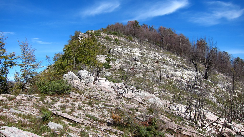
Maja e Ostrovicës (e vogel)![]()
Summary: Maja e Ostrovices, near Elbasan, has the same name as its more famous namesake in Korca region, though it is 1000 Meter lower. We therefore call it Maja e Ostrovices (e vogel, or the small one), and hope that nobody takes offense.
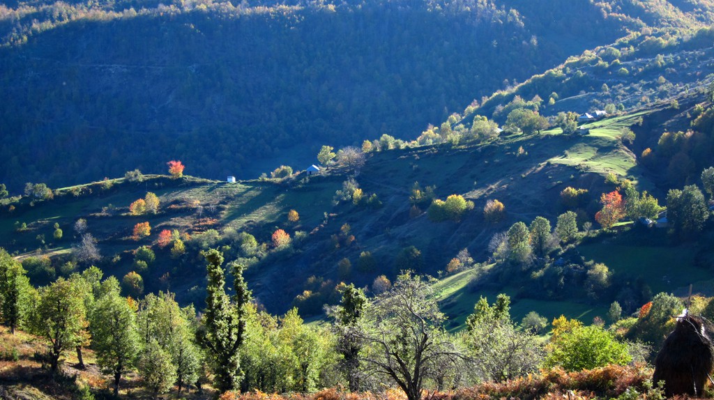
We noticed Ostrovice when travelling from Studen to Librazhd, and Ostrovice appears as a sharp pyramid to the west. We immediately decided to give it a try at the next possible date. Ostrovice sits somewhere between Labinot in Elbasan district and Shengjergj in Tirana district.
The biggest challenge for hiking Ostrovice, therefore, is to find it. The best approach is from Elbasan. Continue on the old military road connecting Elbasan-Tirana (SH4) beyond Labinot until Waypoint A. Turn right here to Benë, where the road ends. Do not go to Benë village, but stop at the trailhead as indicated. It is also possible to get to waypoint A when taking the SH4 from Tirana, but a four wheel drive with high clearance is necessary. It may take longer to drive to the trailhead than to climb to the summit.
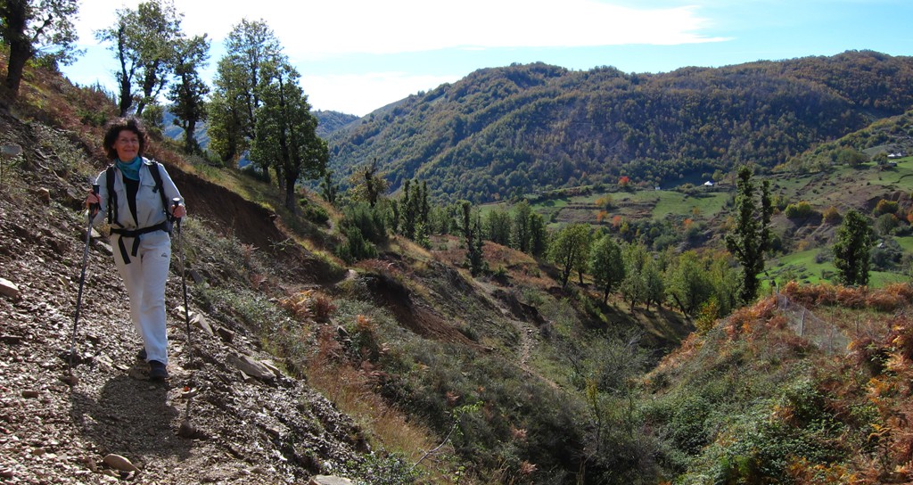
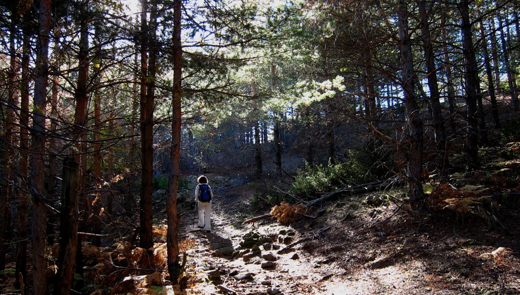
The hike is easy and not strenuous. Still, we gave it a moderate rating, because orientation is not easy, and because its remoteness.
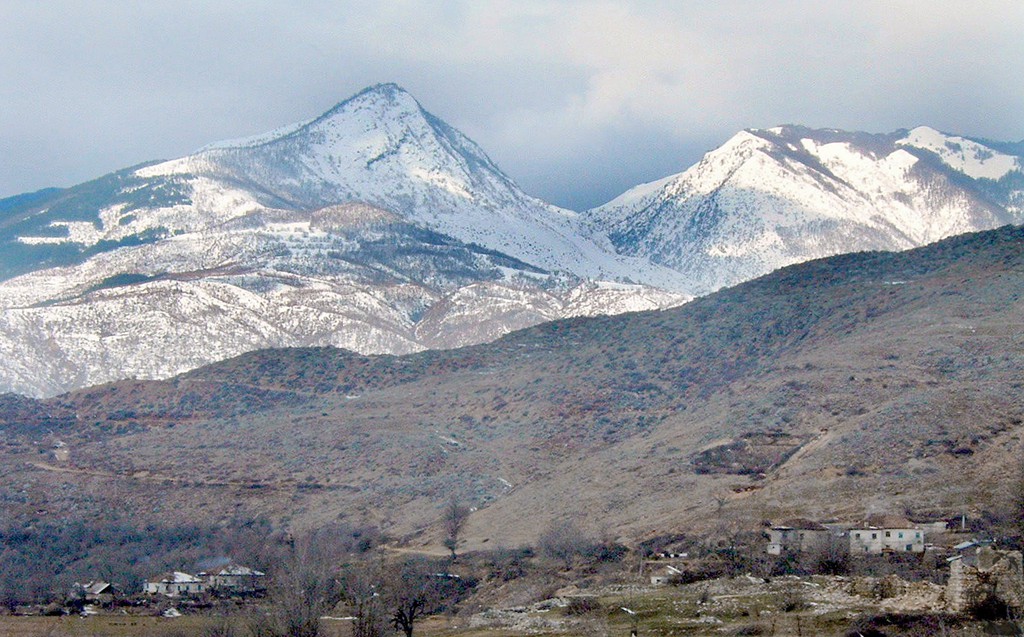
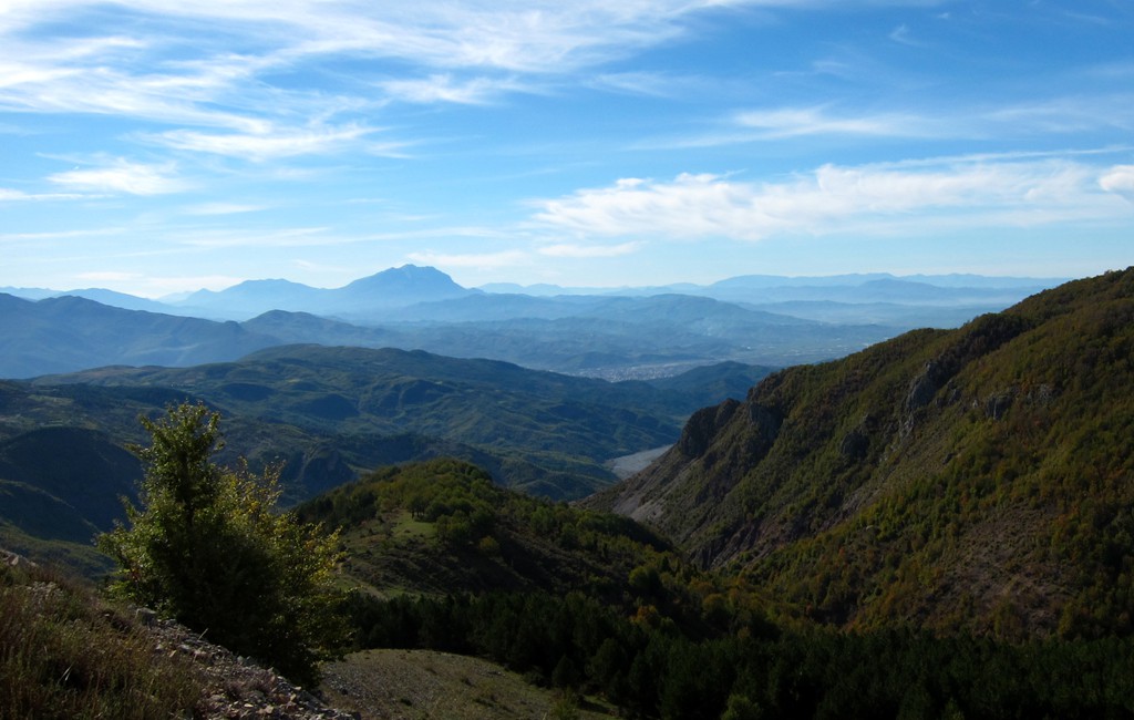
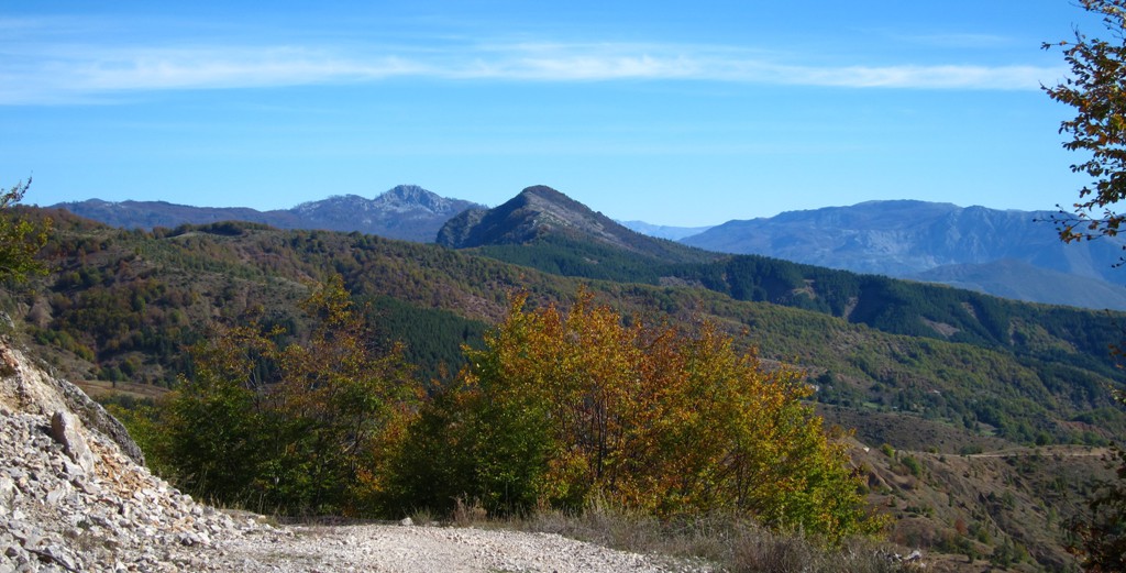
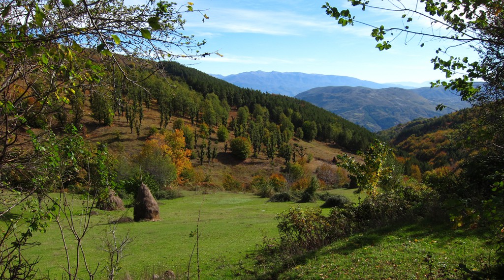
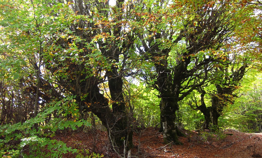
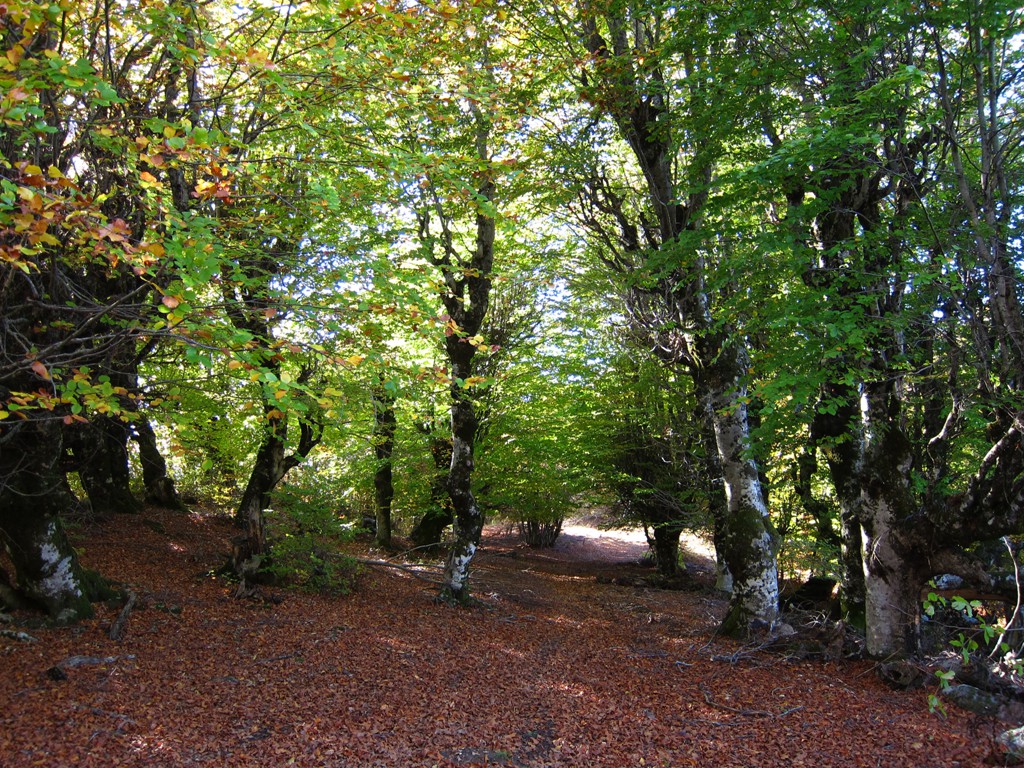
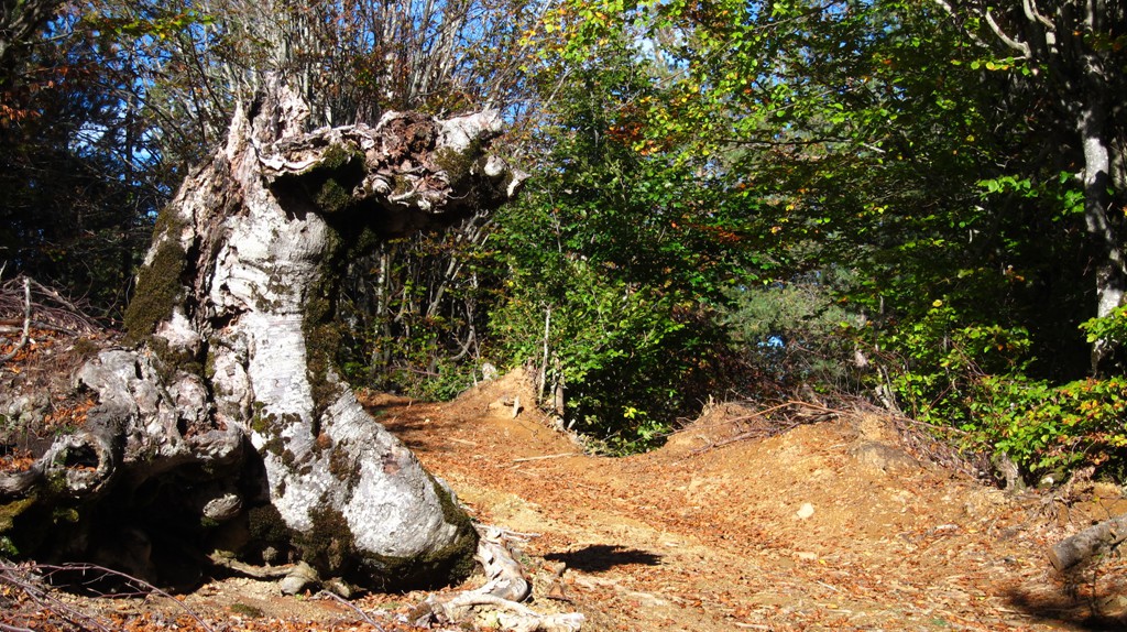
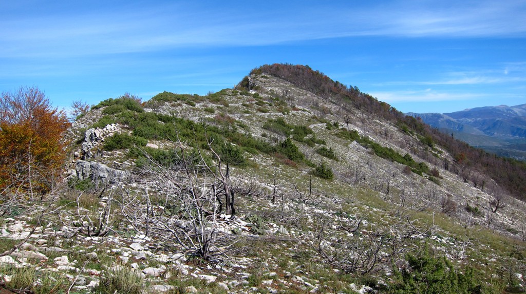
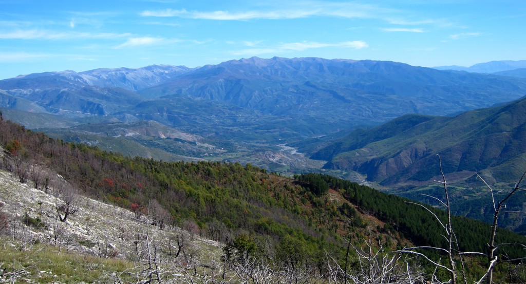
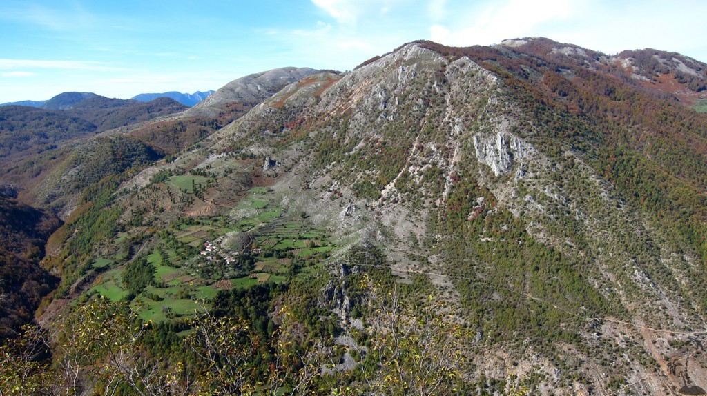
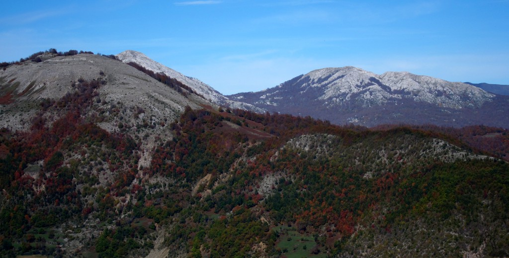
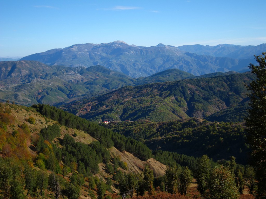
Though not particularly high, Ostrovice (and getting there) provides for excellent views, including to Tomorri, Polis, Gafer, Shebenik, Jablanica, Snoijt, Dajti (from the backside) and many more. On a clear day in late October the views went far, and autumn colors gave everything a special tint. The very summit of Ostrovice is covered in trees, which also provide possibly welcome shade on a hot summer day.
Note that the trail coordinates start at the summit and end at the trailhead, but the waypoint numbering starts at the trailhead and continues to the summit
The Hike:
| Maximum altitude: | 1358 meter | ||||||||||||||||||||||
| Minimum altitude: | 1091 meter | ||||||||||||||||||||||
| Cumulative height: | 351 meter | ||||||||||||||||||||||
| Cumulative length: | 5.83 kilometer one way | ||||||||||||||||||||||
Difficulty
| moderate |
Time:
|
2 hour |
Date of this record |
October 2013 |
Download GPS info: |
Ostrovices Vogel |
|
| |
|
|
|
|
|
|
|
|
|
|
|
|
|
|
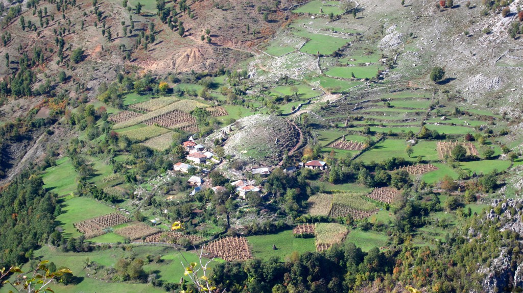
The Access: The easiest access is from Elbasan, via the road to Labinot. Continue via the old military road (SH4). For those with a 4WD and coming from Tirana, consider driving via Dajti mountain and Shengjerg - see track below. The road from Shengjergj towards Labinat has deteriorated over the last years, and requires care in some places.
| Maximum altitude: | 1283 meter | ||||||||||||||||||||||
| Minimum altitude: | 681 meter | ||||||||||||||||||||||
| Cumulative height: | 706 meter | ||||||||||||||||||||||
| Cumulative length: | 24 kilometer from Shengjergj | ||||||||||||||||||||||
Difficulty
| moderate |
Time:
|
2 hour |
Date of this record |
October 2013 |
Download GPS info: |
Trailhead to Ostrovice vogel |
|
| |
|
|
|
|
|
|
|
|
|
|
|
|
|
|
General location and approach:
Closer to Elbasan than to TiranaOther Information:
The access to the trailhead might be longer than the climb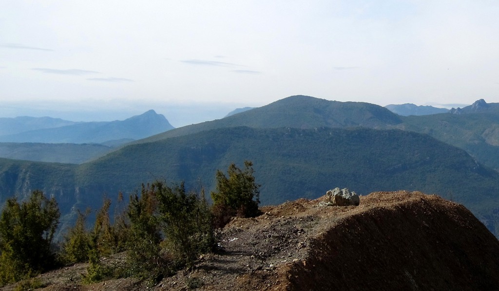


GPS and trailmaps:
The map and trailinformation is generated byGoogle Earth:
You may also view the trail in 3D by clicking "view in Google Earth" when on Wikiloc. You need to have Google Earth installed on your computer.