PALM TREE PRODUCTIONS
back to Albania site back to hikes and climbs back to Locations and Travel
The Kuç Connection - From Himarë to the Drinos River![]()
Summary: If you enjoy high mountain passes with some exposure, toying through gravelly riverbeds and splashing through fords with crystal clear waters, this outing is for you. While mountain ranges and rivers in this part of Albania generally follow a north-south direction, this trip moves from the west to the east, with a lot of up and down.
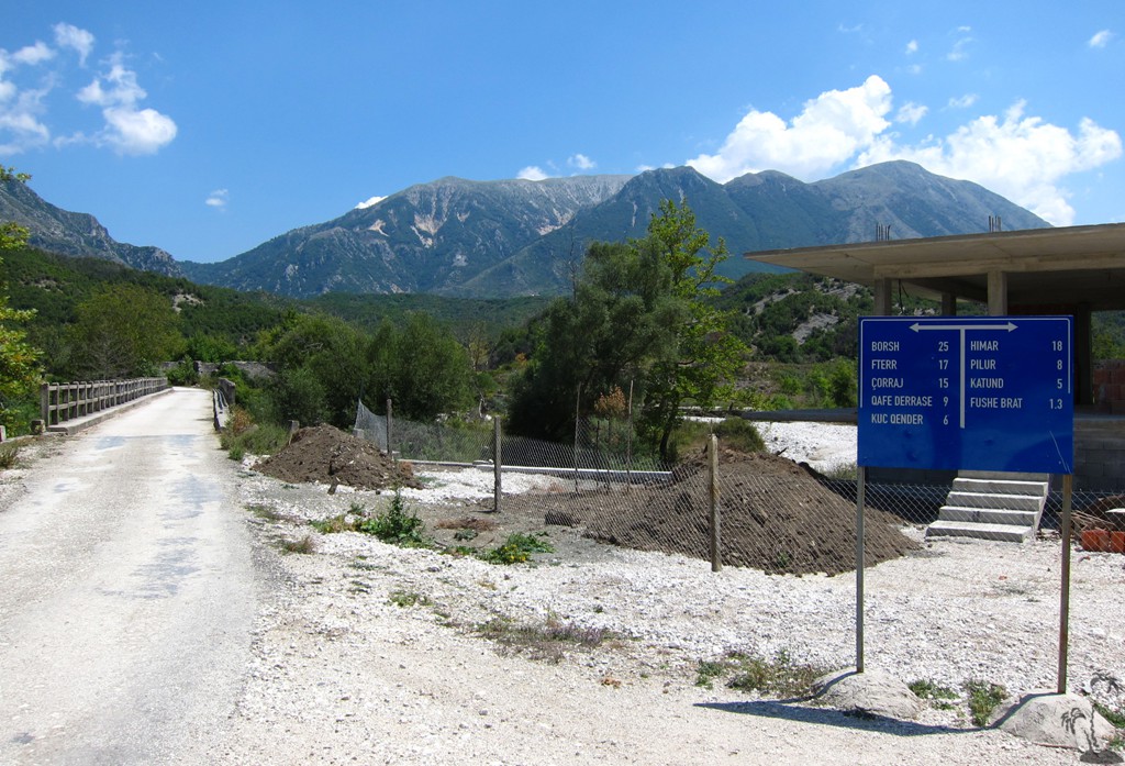
The trip comes in three parts, which we connected to a day's trip during the hot August season. All three can be combined with other trails described elsewhere. The first leads from Himarë at the Ionian coast to the old village of Pilur at 700 meter altitude, and then descends into the Kurvelesh valley near Kuç. We then continued from Kuç to Gusmar on the the Lekdush plateau, via the course of the Kuç River. From there - rather than going the regular way via Bence to Tepelene - we crossed over a 1200 meter Pass to Golem, and down to the highway connecting Tepelene and Gjirokaster.
This is a serious off-road adventure, requiring 4WD and possibly engagement of low range for better traction or to better control steep descents. Kurvelesh authorities have been generous with roadsigns giving directions, though not necessarily with advice on what type of makina (vehicle) to use.
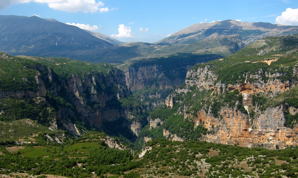
Needless to say, this is a trip of great scenic beauty and wilderness.
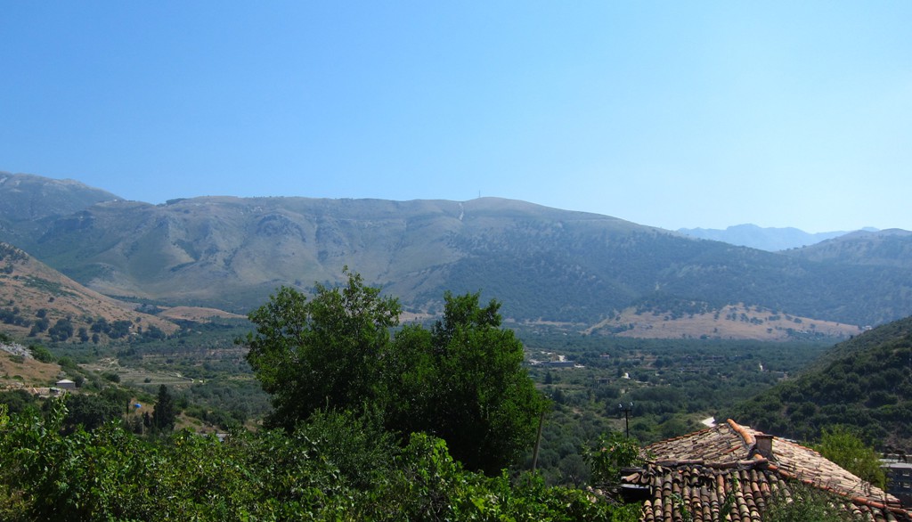
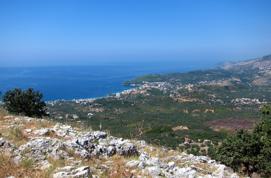
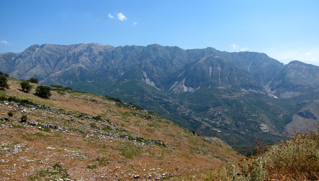
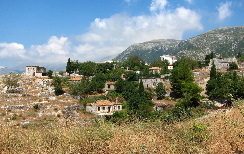
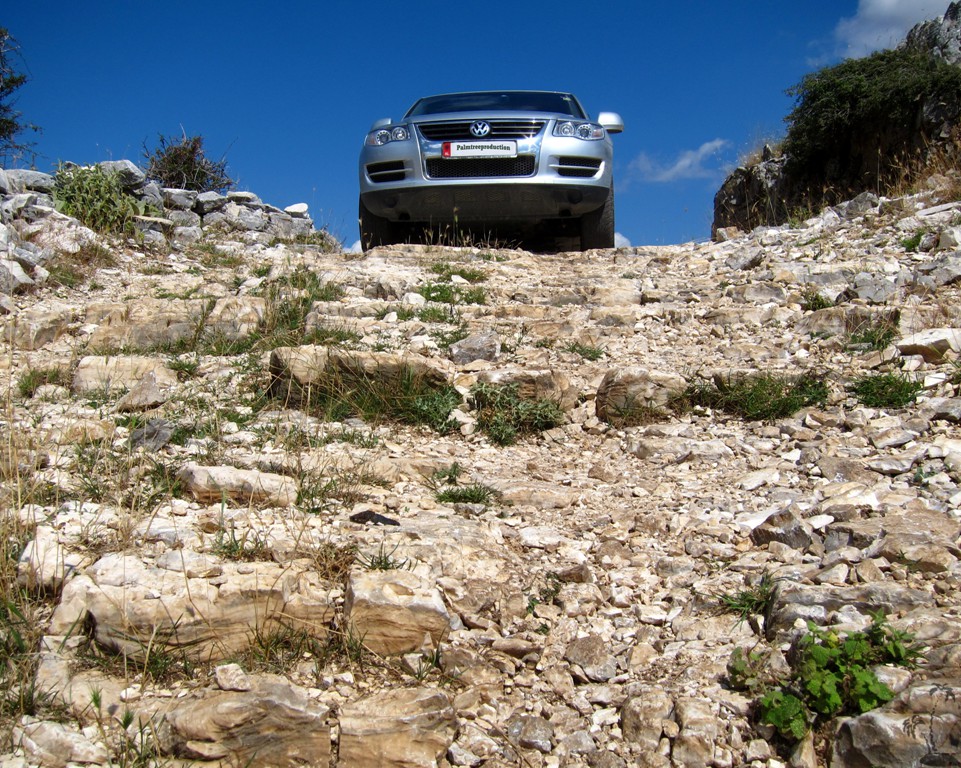
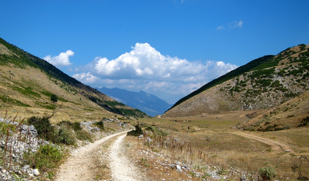
From Himarë to Pilur and Kuç: The road from Himarë to Pilur is signposted and consists of broken asphalt, reasonable dirt roads, and better asphalt near Pilur. There are nice views to the Ionian coast and Himarë. From there a serious descent into Kurvelesh begins. The dirt road is very narrow, and hugs the mountain until waypoint 04. From here to the main road to Kuç, the road is less exposed, but less well constructed and maintained. At the end of this stretch, you can decide whether to continue to Kuç (and on to Gusmar or Borsh) or to follow the long but generally easy valley road to Vlorë.
| Maximum altitude: | 712 meters | ||||||||||||||||||||||
| Minimum altitude: | 76 meter | ||||||||||||||||||||||
| Cumulative height: | 748 meter | ||||||||||||||||||||||
| Cumulative length: | 19 kilometers | ||||||||||||||||||||||
Difficulty
| moderate |
Time:
|
1 hour 20 minutes |
Date of this record |
August 2014 |
Download GPS info: |
Pilur |
|
| |
|
|
|
|
|
|
|
|
|
|
|
|
|
|
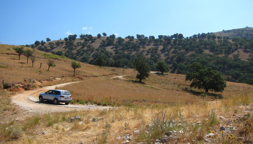
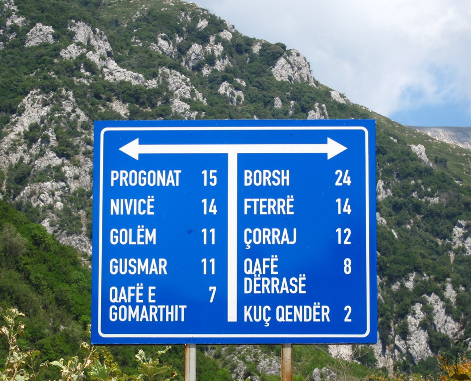
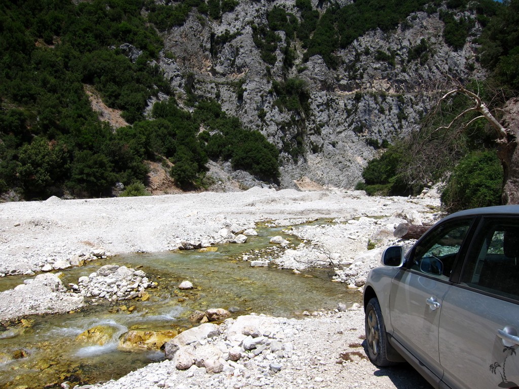
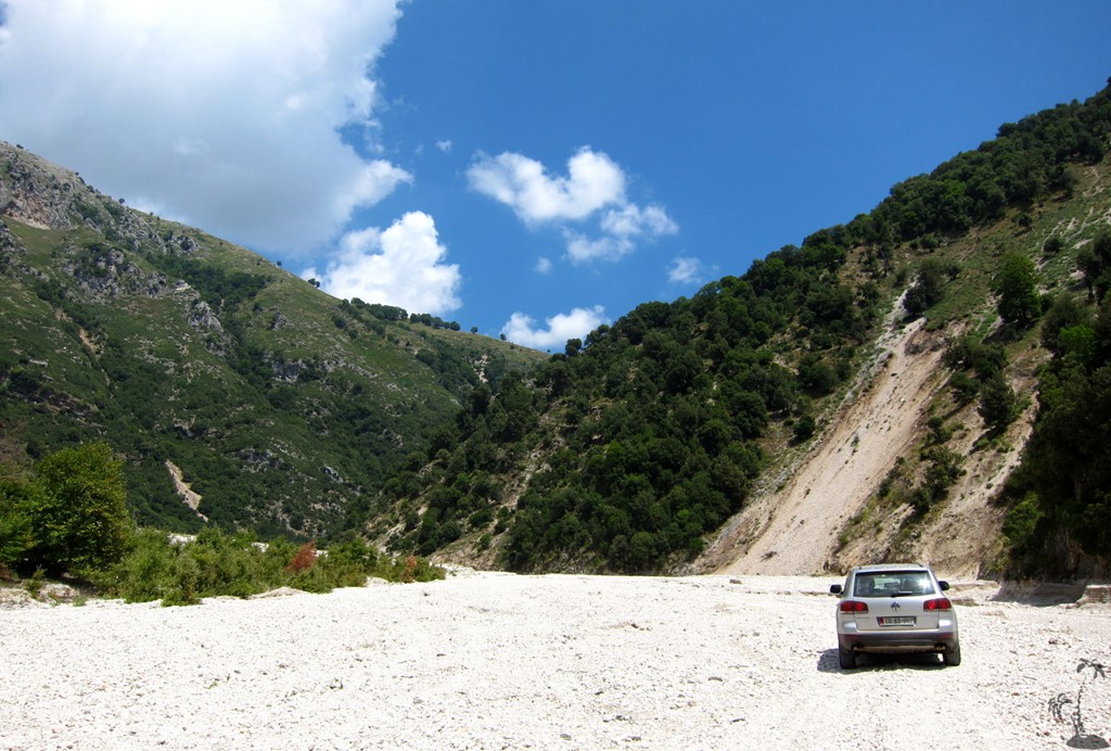
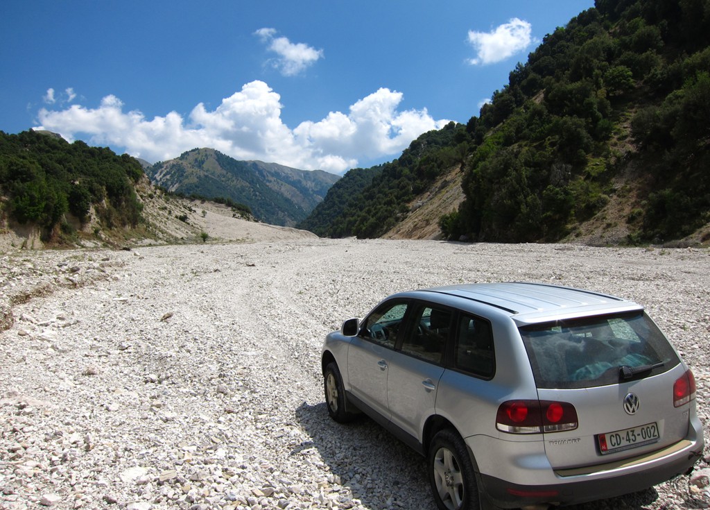
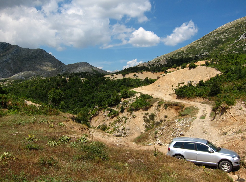
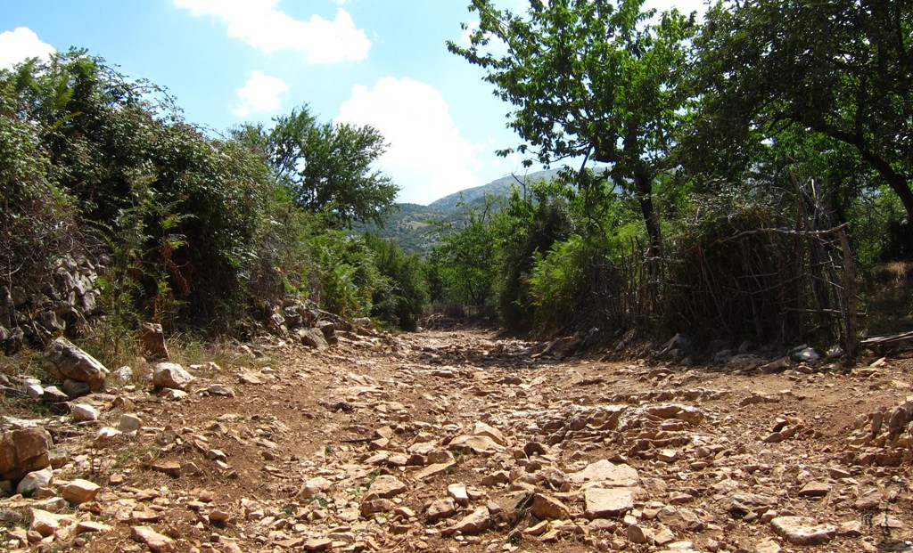
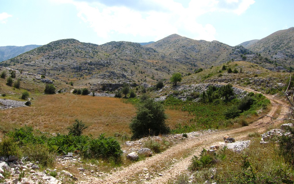
From Kuç to Gusmar, Golem, and the Drinos Valley: The trail starts in Kuç, at the signpost of the junction for Borsh and Gusmar. The turn off to Gusmar is about 50 meter behind the sign, not directly in front of it (which seems so obvious!). The trail soon enters the riverbed, and stays there for about seven kilometers. It fords the waters several times, and while there was no problem in August (a dry month in Albania), some of the crossings can be quite deep.
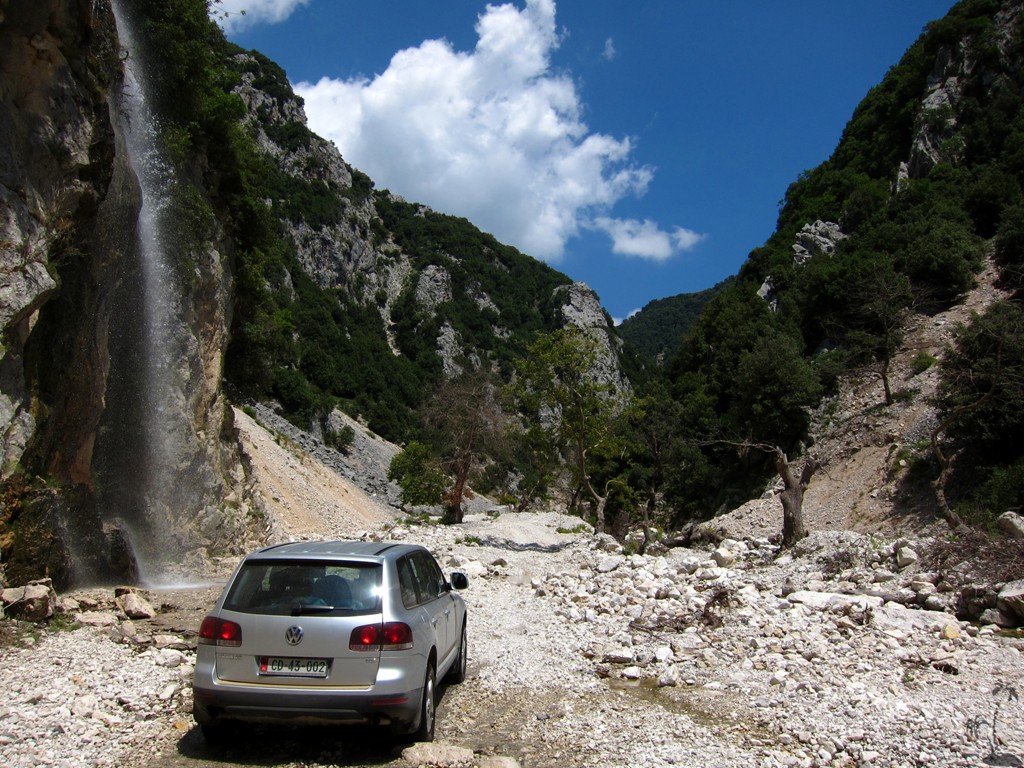
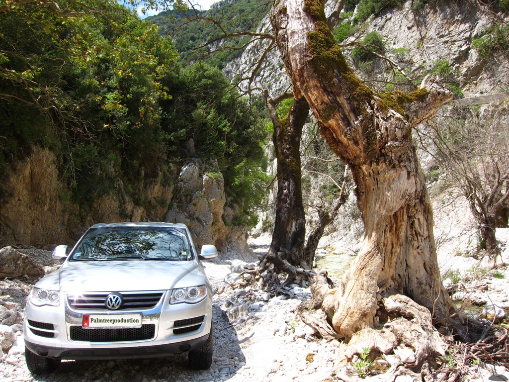
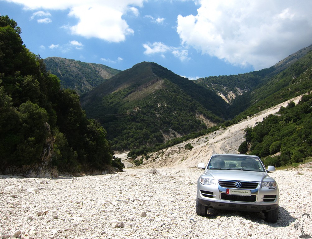
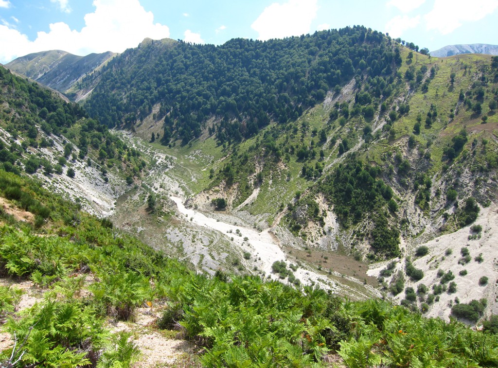
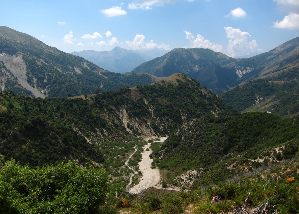
The trail is normally well visible, but might change depending on the seasonal rains. At some point, you cross (almost) under waterfall. Eventually, the river bed widens and views open up. Take care to take the right turns, where the arms of the river split. Be aware that going upstream, the trail climbs more than 400 meter while in the river bed.
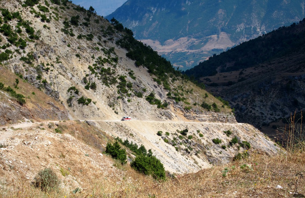
At the end of the river trail, a sharp turn takes you up for another 100 meter along a rather rocky face. The road is very narrow. Traffic is likely to be almost non-existing, but it would be impossible for two cars to pass. The next breathing stop is at waypoint 06, from where one can walk back to a nice viewpoint - in case you didn't feel like stopping when inching up along the narrow trail. Likewise, in case you undertake the drive in reverse direction, it might be a good idea to stop at waypoint 06 and check on foot whether a car might be on its way up.
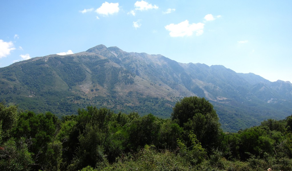
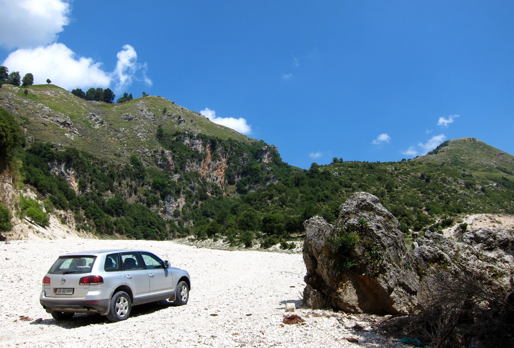
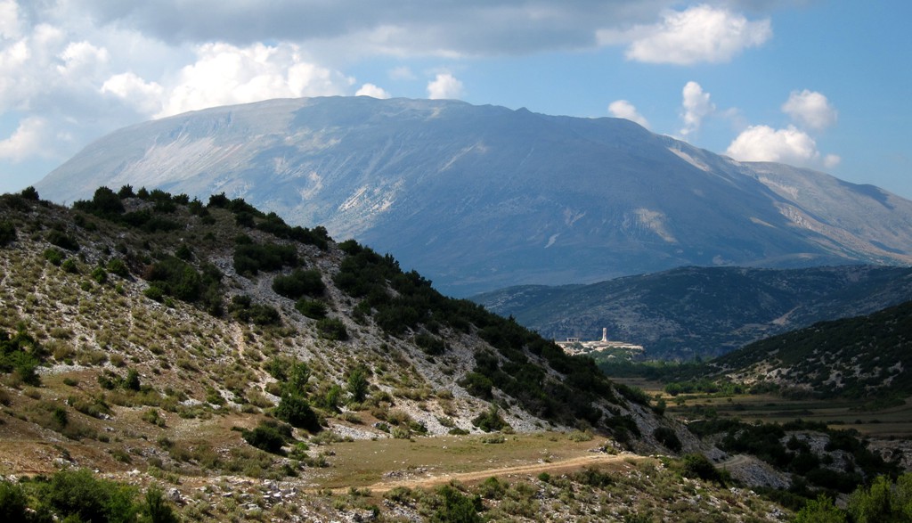
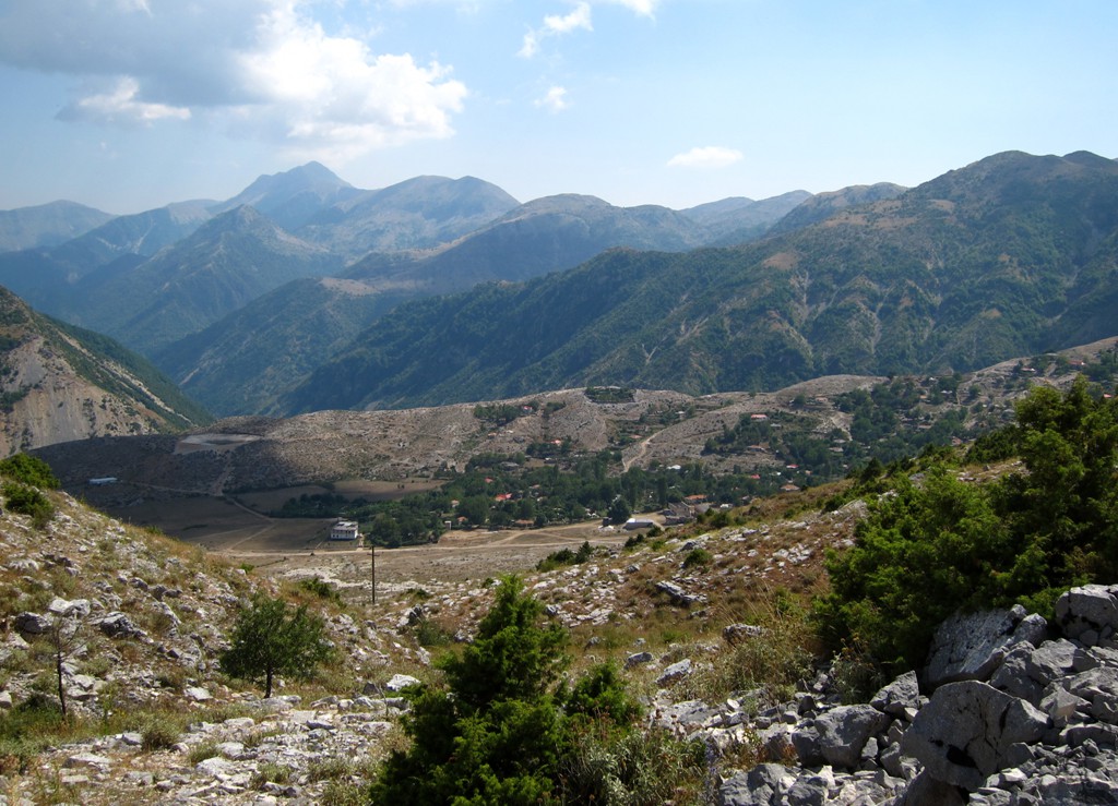
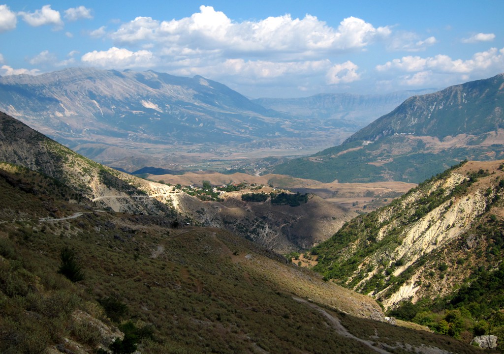
Another two kilometers or so take you to the asphalt road connecting Progonat, Gusmar and Nivice. Here, you might take our trail from Tepelene to the trailhead for climbing Maja e Kendervicës, one of the six "Ultras" (ultra prominent mountains) of Albania. If you are pressed with time, or had enough of 4-wheeling for the day, take this road to Tepelene. Note, along the way, the deep canyons cutting through the plateau.
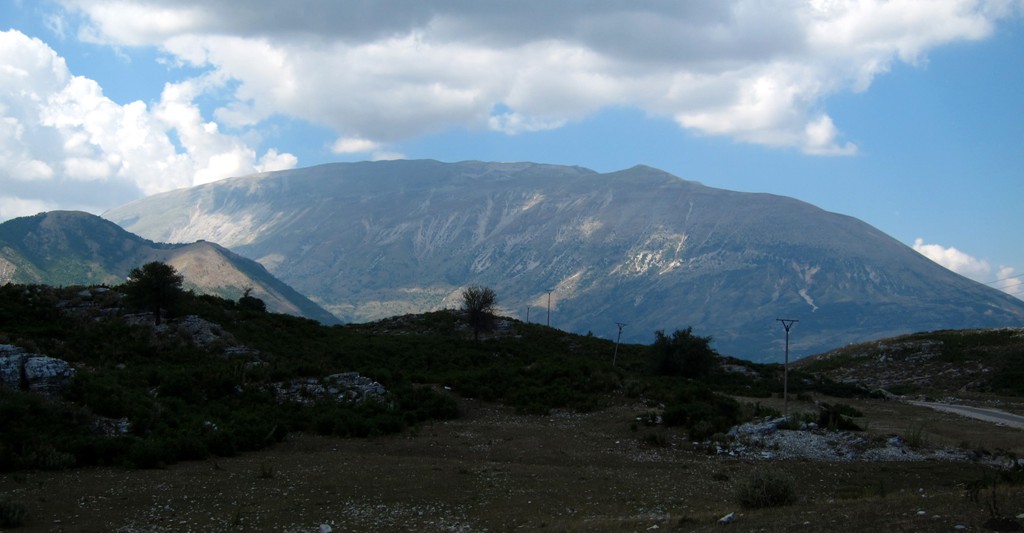
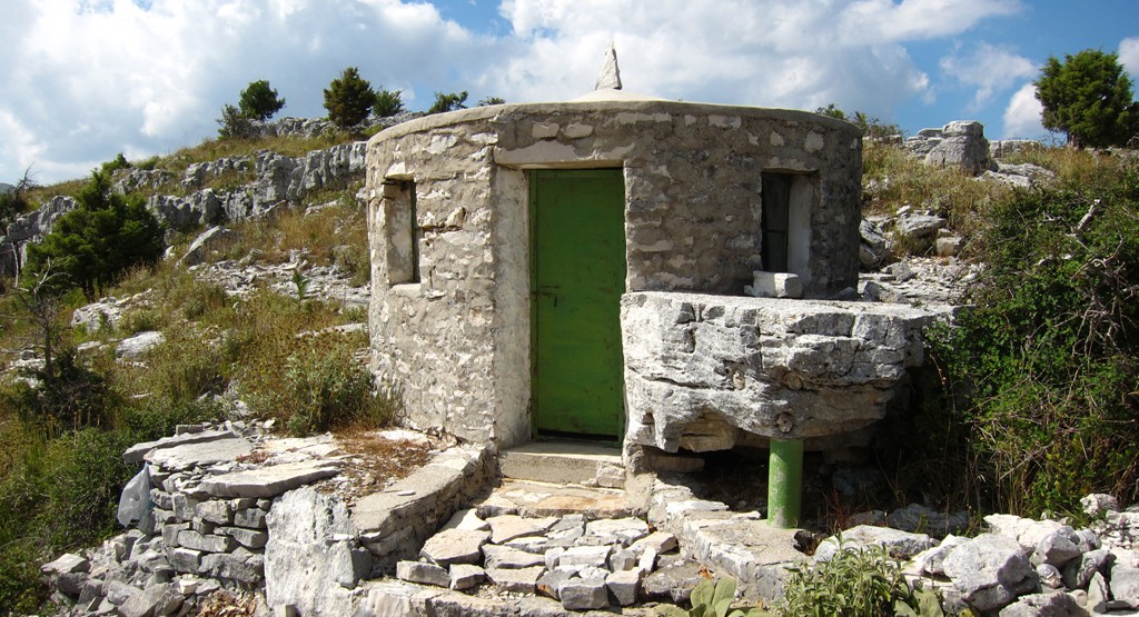
If you wish to continue with more excitement, take the turn to Golem at waypoint 11. The road starts out very rocky and continues with some rocky patches later on. The road is not in much use, and certainly requires not only high clearance but also 4WD and possibly low range. It climbs to a pass at 1200 meter, with a small Teqe. An exposed stretch takes you down to Golem, at 1000 Meter altitude, situated in a high valley with abundant grazing. While Golem did not appear to us as a very lively place, it must still have some economic viability, as from here the road has been leveled for salon cars and furgons. This being said, the road is still very exposed. We had a puncture and were forced to change the wheel en-route, and oncoming traffic had to stop until we were done and could get out of the way.
From Kolonje, the road gets decidedly better, and from the junction to Picard it is asphalt until the Tepelene - Gjirokaster highway.
| Maximum altitude: | 1196 meters | ||||||||||||||||||||||
| Minimum altitude: | 207 meter | ||||||||||||||||||||||
| Cumulative height: | 1022 meter | ||||||||||||||||||||||
| Cumulative length: | 36 kilometers | ||||||||||||||||||||||
Difficulty
| moderate |
Time:
|
3 hours |
Date of this record |
August 2014 |
Download GPS info: |
Kuc to Golem |
|
| |
|
|
|
|
|
|
|
|
|
|
|
|
|
|
General location: Betweeen Himarë and Gjirokaster - into the wild!
Google Earth: You may also view the trail in 3D by clicking "view in Google Earth" when on Wikiloc. You need to have Google Earth installed on your computer.