PALM TREE PRODUCTIONS
back to Albania site back to hikes and climbs back to Locations and Travel
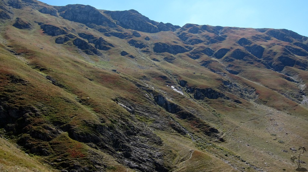
Maja e Velivarit![]()
![]() (Hinoska)
(Hinoska)
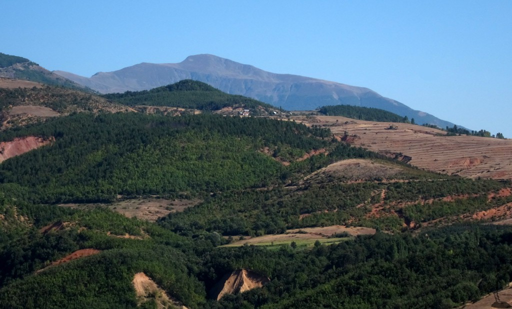
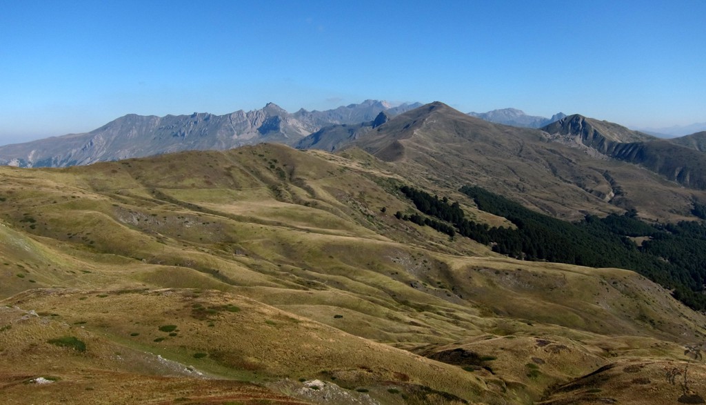
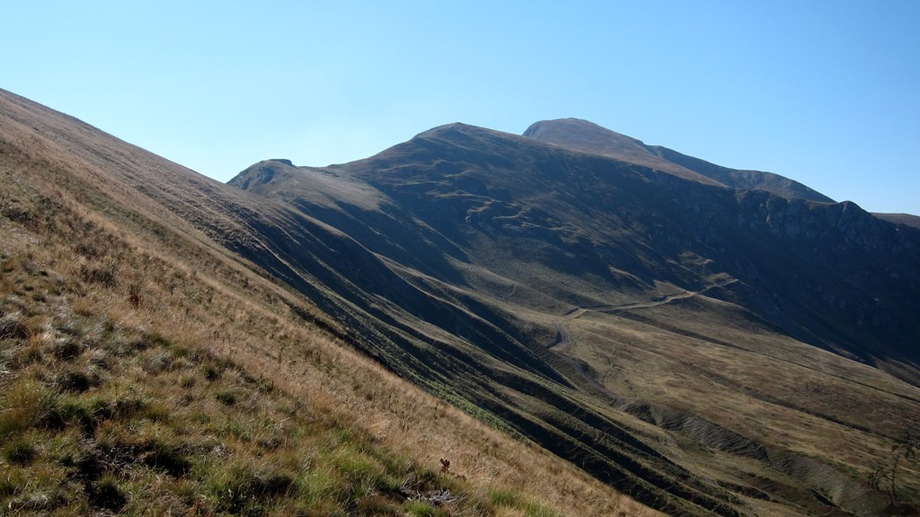
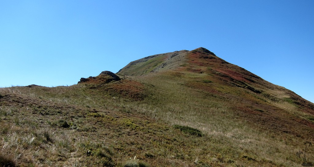
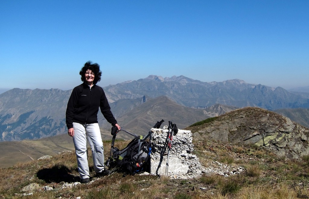
Summary: Maja e Velivarit or Velivar as shown on most maps, is the highest summit of the range known as Deshat by the people of Macedonia. Deshat is the southern part of ridge that separates Albania from Macedonia between Diber and Kukes; the northern part is the Korab Massif, with Maja e Korabit being the highpoint of both countries.
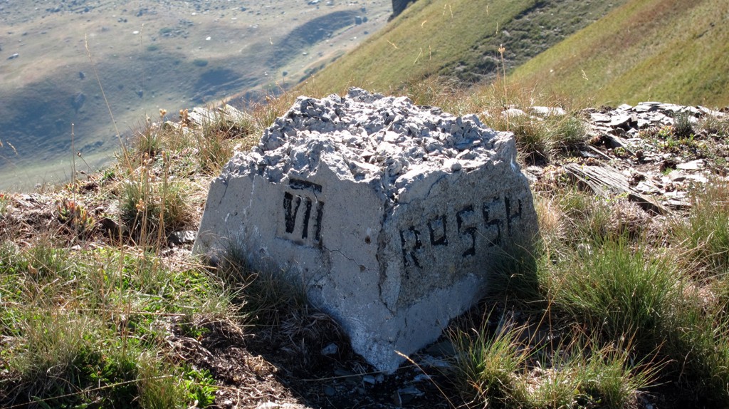
Velivar is locally known as Hinoska, though the name seems to refer more to the commune than a specific mountain or summit. We did not find any significant reference to Hinoska on the web.
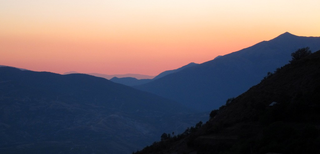
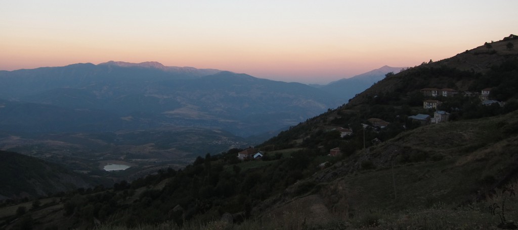
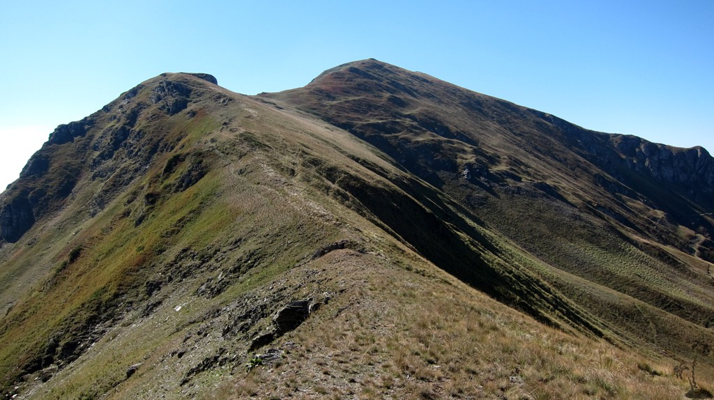
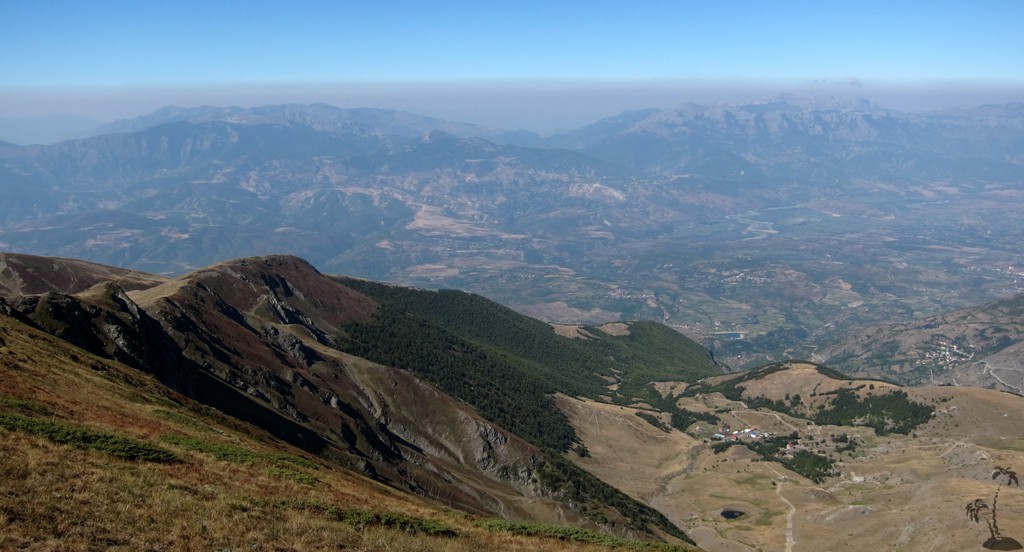
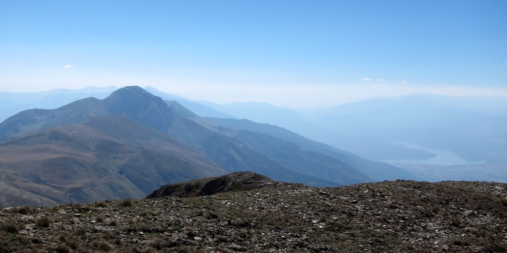
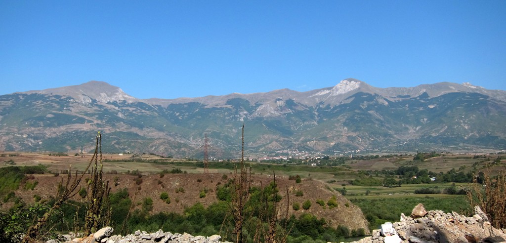
Velivar and other summits along the ridge seem to be mainly climbed from Macedonia, where mountain tourism has a longer history and relevant infrastructure is more advanced. Given the beauty of the area also in Albania, it is only a question of time before more outdoor enthusiasts will visit the area.
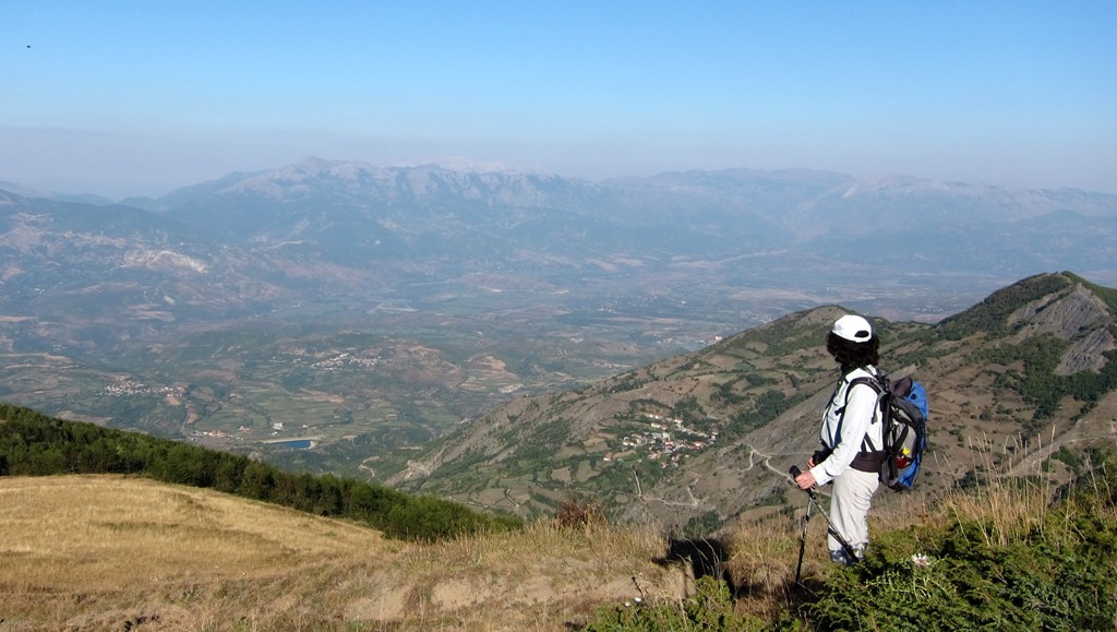
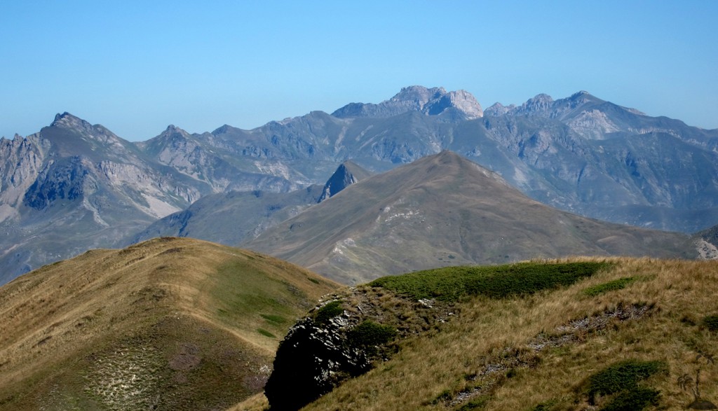
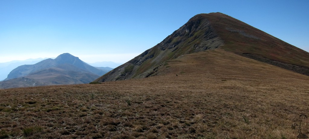
The hike is relatively easy. But while Velivar may be considerably lower than Korab (which attracts many more tourists), it must be counted among the big Albania mountains. Velivar provides some unusual views of other peaks which are typically admired from the opposite side, such as Korab (now seen from the south) or Mali i Dejes and Kurore e Lures (from the east).
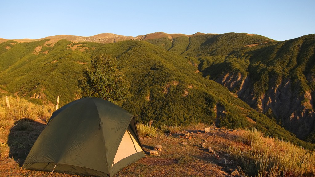
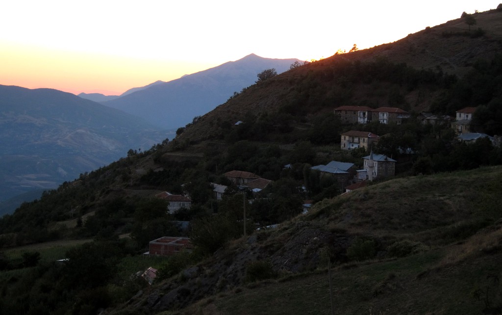
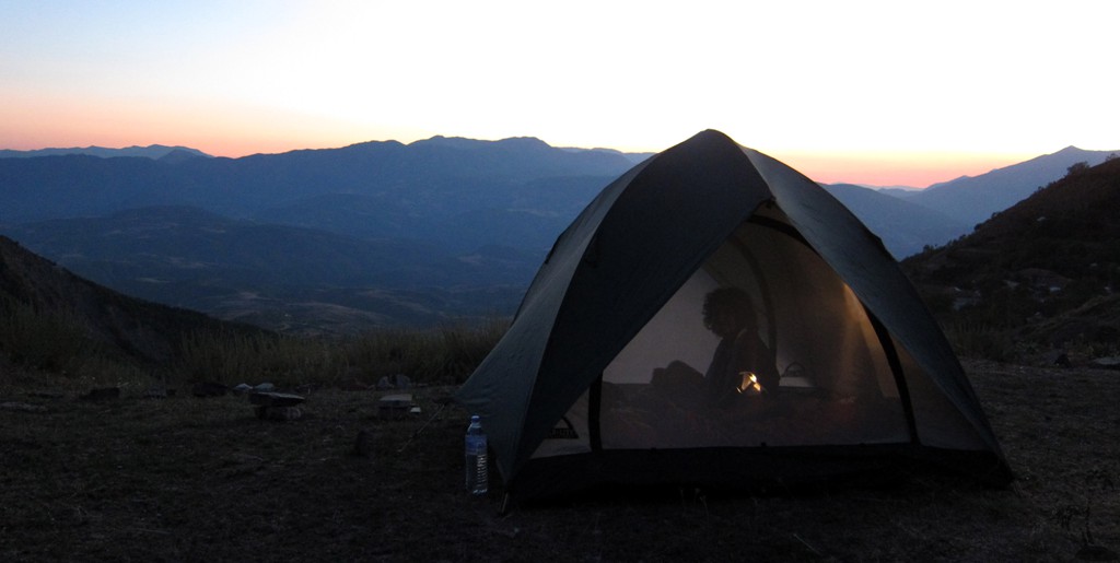
The Hike: The hike starts in Ilnice. Just before reaching the village, a barrier blocks a road going further up the mountain. We parked and camped hundred Meter or so after the barrier, after having negotiated access with the local customs official holding the key. If you do likewise, make sure you arrange for the barrier being open on your return.
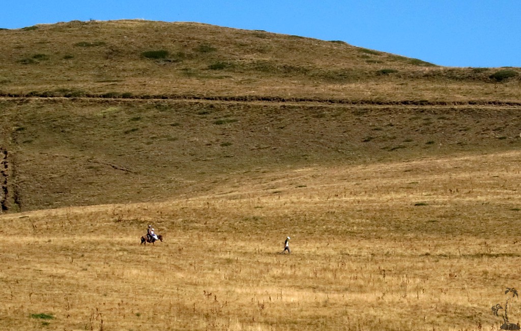
The first two kilometers of the hike are on a forest road. It is possible to go there by car - provided you managed to cross the barrier in Ilnice - but we decided to walk for the sake of the exercise. At waypoint 2 we took a shortcut towards the mountain. The road itself circles around some more corners before ending at a Stan.
We hiked a balloon and either direction might be fine.
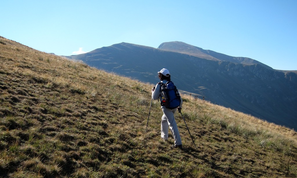
When you walk rather than drive the road, avoid the temptation to follow a footpath that seems to cut short some switchback in the road, between waypoints A and B. The footpath leads across a very uncomfortable slope along a seemingly bottomless precipice. It's not worth the few minutes that you may be saving in time.
Somewhere between waypoint 3 and waypoint 4, when you reach an altitude of about 1760 Meter, you can also head more directly for waypoint 5 which is a pass on the ridgeline leading to Velivar. A footpath leads to that point, though it may be difficult to see it from the distance, especially when you approach the ridge in the morning facing the sun.
| Maximum altitude: | 2376 meter |
| Minimum altitude: | 1307 meter |
| Cumulative height: | 1102 meter |
| Cumulative length: | 14 kilometer |
| Difficulty | moderate. |
| Time: | 4 hours up, 3 hours down |
| Date of this record | August 2013 |
| Download GPS info: | Maja e Velivarit |
The Drive to the trailhead in Ilnice: A few kilometers south of Peshkopi on the asphalt road to Tirana, turn to Melan then to Ilnice. The road has some narrow spots.
| Maximum altitude: | 1275 meter |
| Minimum altitude: | 712 meter |
| Cumulative height: | 571 meter |
| Cumulative length: | 5.9 kilometers |
| Difficulty | moderate |
| Time: | 1/2 hour |
| Date of this record | August 2013 |
| Download GPS info: | Drive to Ilnice |
General location and approach: Near Peshkopi. The road to Peshkopi can be reached now in less than 4 hours from Tirana by taking the highway to Kukes and then the new asphalt road to Peshkopi. On the way you pass Korab Mountain. The old road from Peshkopi to Bulquize, Burrel and Tirana is shorter, but takes about the same time.
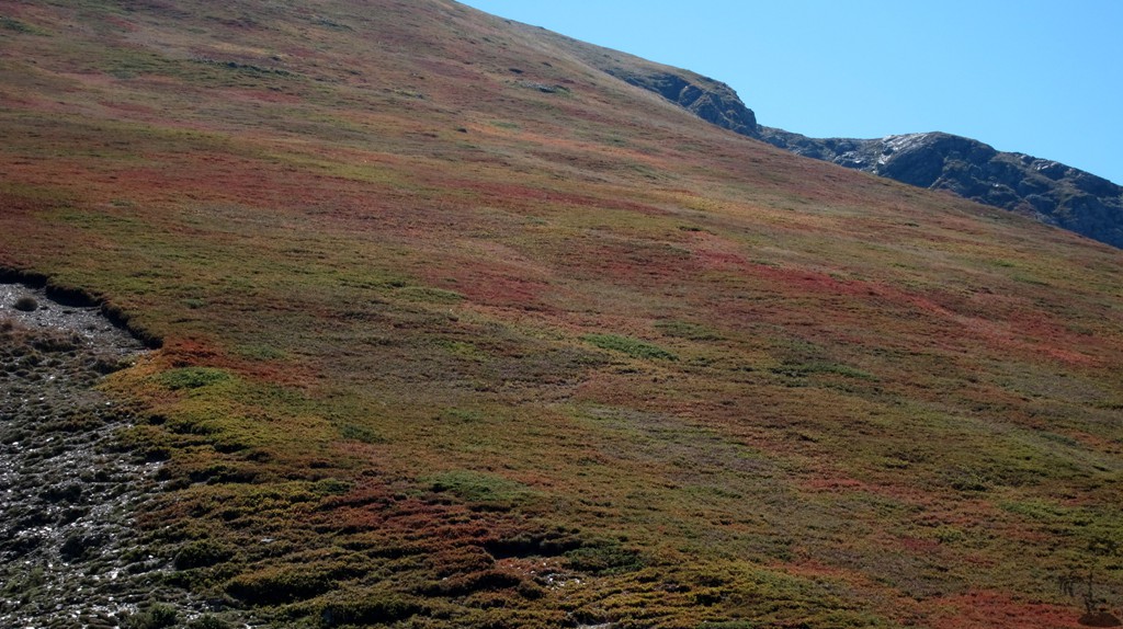
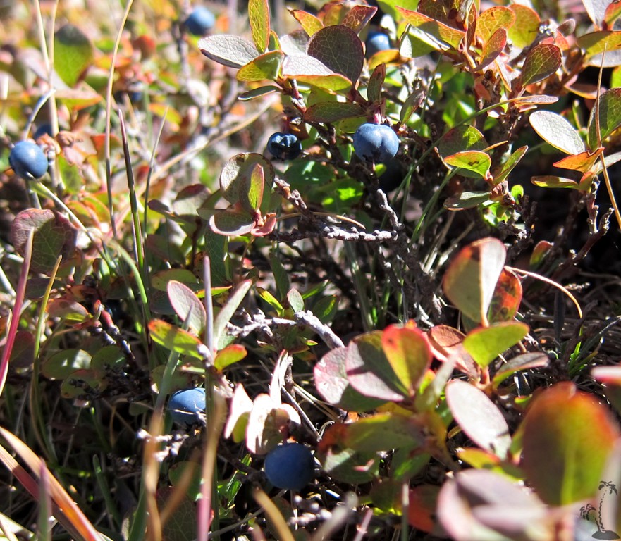
Other Information: September is blueberry time and the speed of travel may be severaly compromised when taking advantage of it.
GPS and trailmaps: The map and
trailinformation is generated by
![]() , based
on GPS information collected from the actual hike. Waypoints
can be downloaded to a GPS device from Wikiloc. If necessary, use
GPSBabel to
convert GPS data to different formats. For more
hike descriptions by Palmtreetreeproduction, browse this
website or visit Wikiloc
and search for "Palmtreeproduction". You may also find
nearby trails from other authors.
, based
on GPS information collected from the actual hike. Waypoints
can be downloaded to a GPS device from Wikiloc. If necessary, use
GPSBabel to
convert GPS data to different formats. For more
hike descriptions by Palmtreetreeproduction, browse this
website or visit Wikiloc
and search for "Palmtreeproduction". You may also find
nearby trails from other authors.
Google Earth: You may also view the trail in 3D when viewing it in Google Earth, which you need to have installed on your computer. The 3D perspective allows a good preview of gradients, steepness, possible views and is generally helpful when planning a trip.