PALM TREE PRODUCTIONS
back to Albania site back to hikes and climbs back to Locations and Travel
An Albanian Ultra - Mali i Çikës![]()
Summary:
An ultra-prominent peak, or Ultra in short, is a mountain
with a topographic prominence of 1,500 meters or more. In order to
climb a higher peak, you first have to descend at least 1500 meter.
Prominence – at least for the mountaineer - is a measurement for the
subjective significance of a summit regardless of its actual height.
There are 119 Ultras in Europe. If you think of Switzerland as the
motherland of European mountains, think again. Switzerland has only
eight Ultras. Many of the highest peaks of the European Alps are
connected by high passes, and they do not “stand out” as an Ultra
would do.
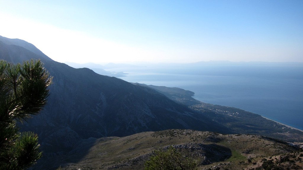
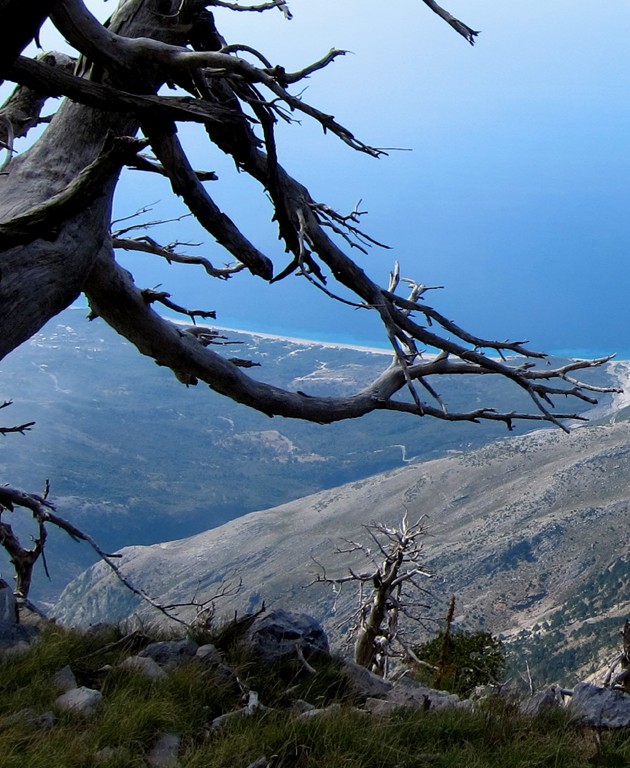
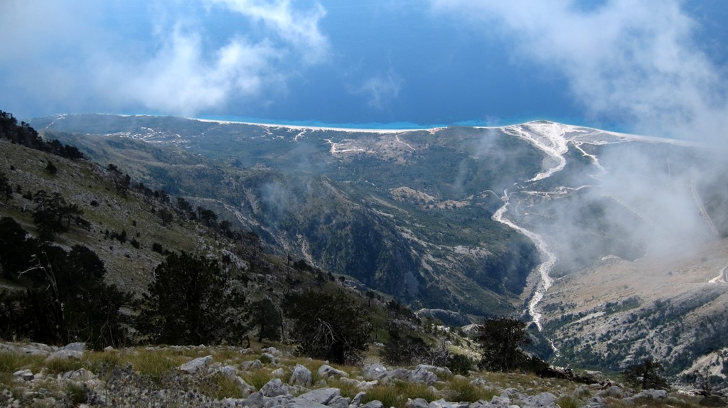
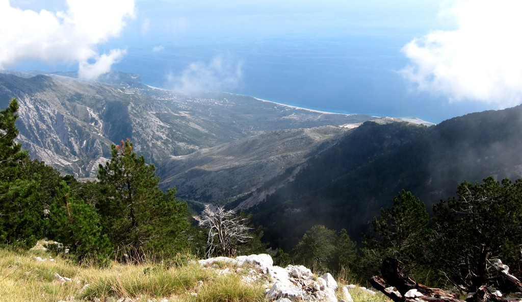
Albania has six Ultras and Mali i Çikës is one of them. It has an
official height of 2044 Meter, and a prominence 1563 Meter. But this
aside, when you stand on its top, you have an unobstructed view 2044
Meter right down to the sparkling blue Ionian Sea.
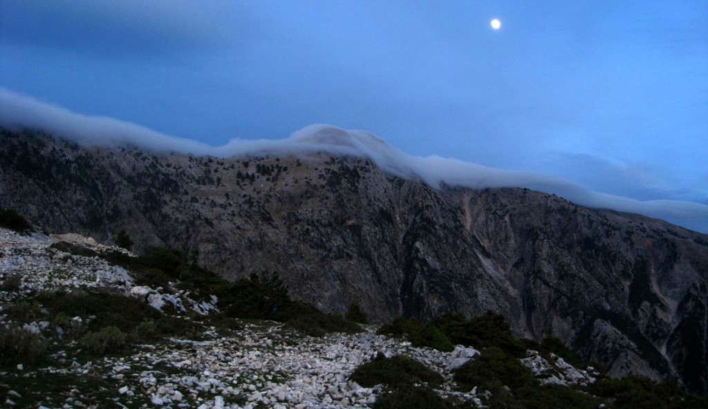
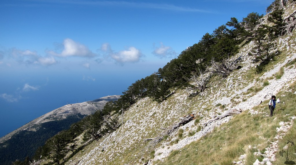
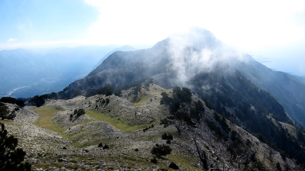
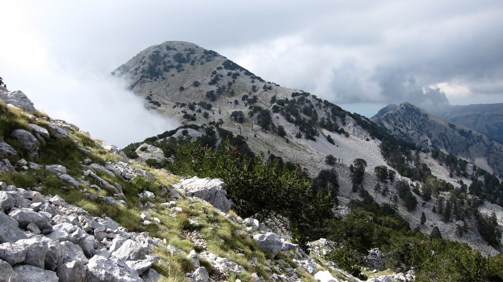
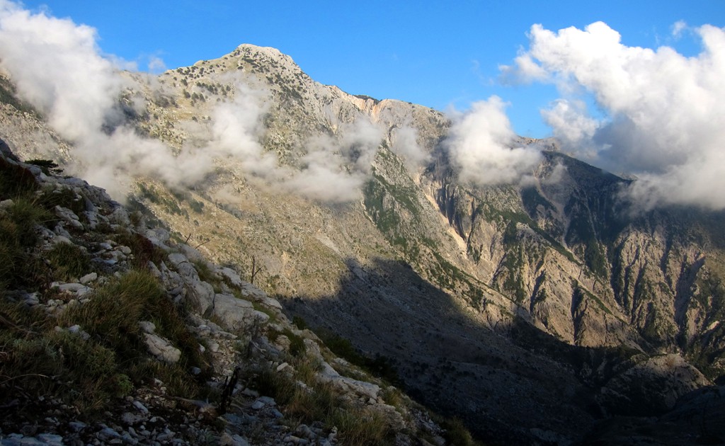
Mali i Çikës is an ultra-desirable mountain for many reasons. It has
a very alpine feel to it, with sheer drops, cliffs, distant views
and a 3.5 kilometer long exhilarating summit ridge. There is no
shortcut. And unless you decide to transverse Mali i Çikës (which
would be at least two day hike without any water source along the
way – see
Endrit’s
trail on wikiloc), you have to go back the way you came. This
makes for 14.5 kilometers out and back, a cumulative climb of more
than 1400 Meter, and a very long day.
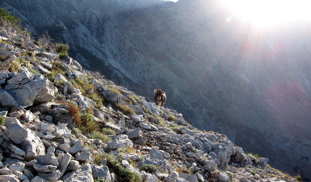
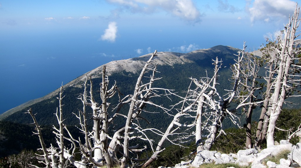
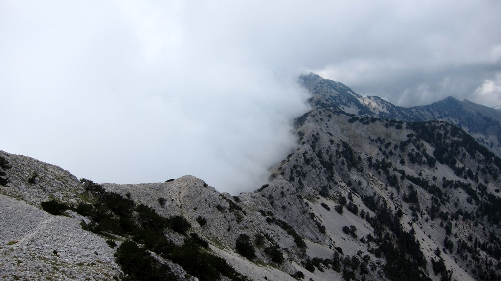
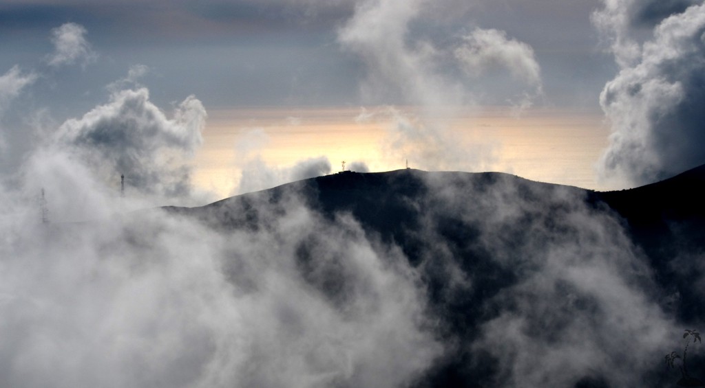
Being out on a limb on the long summit ridge, with few opportunities
for a retreat means that you don’t want to be caught by thunder and
lightning. Unfortunately, at the edge of the Mediterranean, weather
conditions around the mountain can change rapidly, and one is
advised to clear the summit by noon time. It took us 5.5 hours to
reach the summit, and we were glad to have started from the Llogara
pass at 7 am. In summer, you may consider starting even earlier.
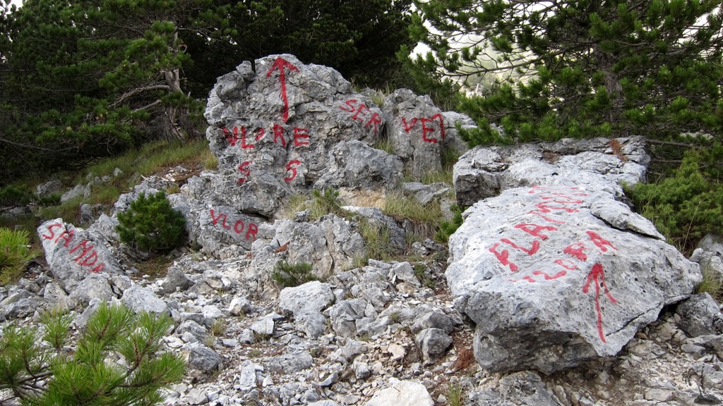
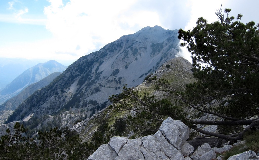
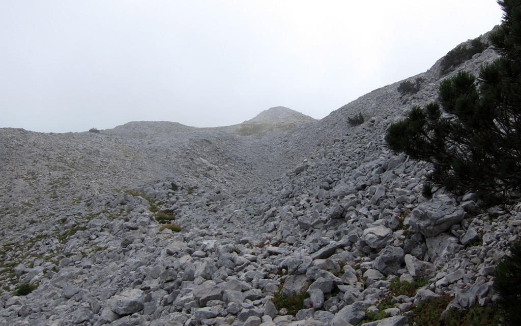
The route itself is not difficult to follow, and there is a faint
mule-trail to and across the summit of Cika. Still, there is an
advantage in carrying a GPS to see where you veer off the trail and
to not waste too much time looking for the right way. The trail
leads sometimes to the east and sometimes to the west of the actual
ridge, avoiding some of the higher bumps along the way.
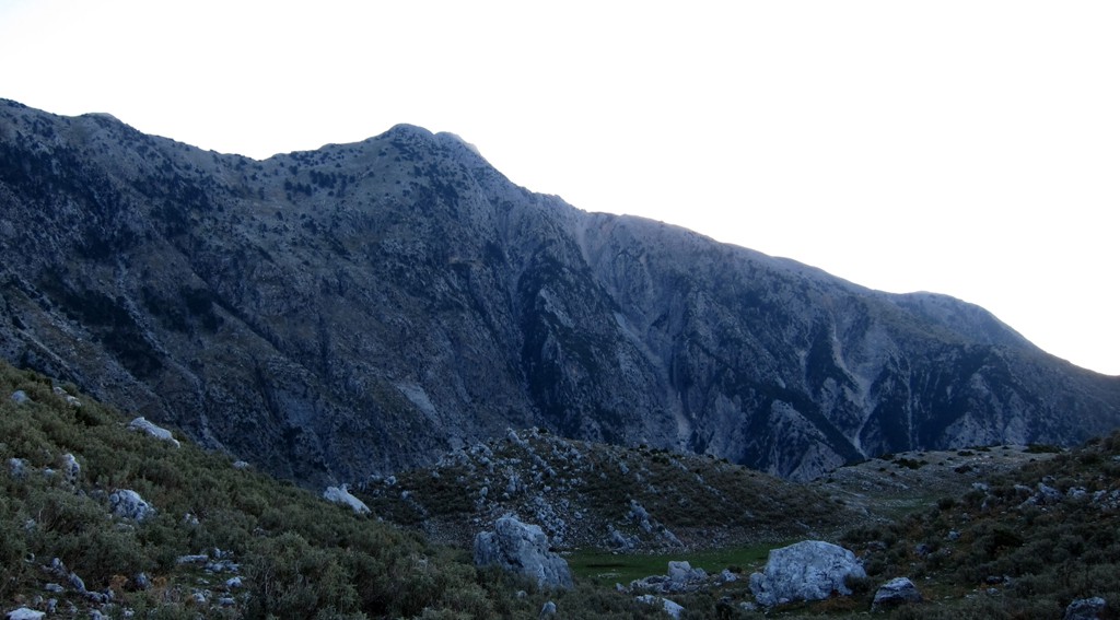
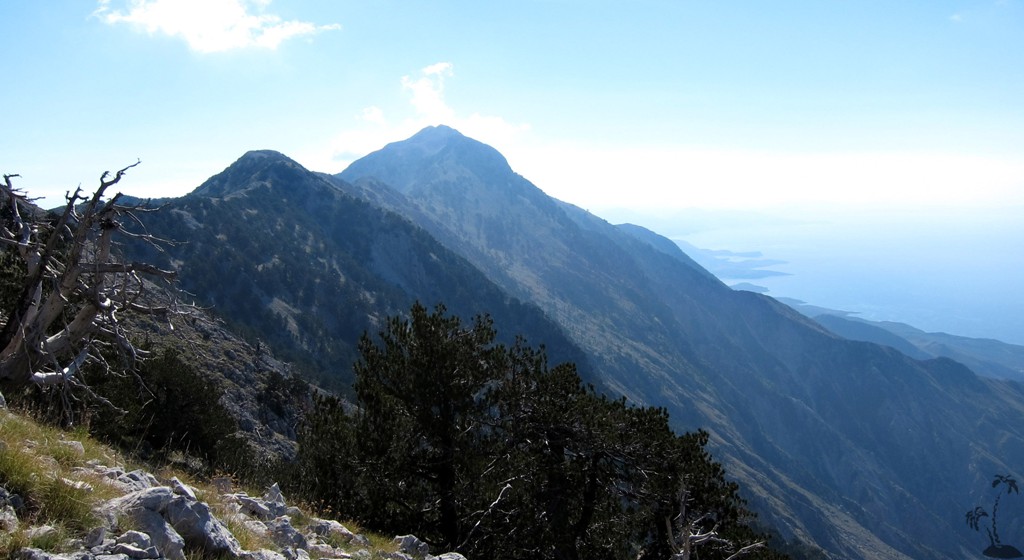
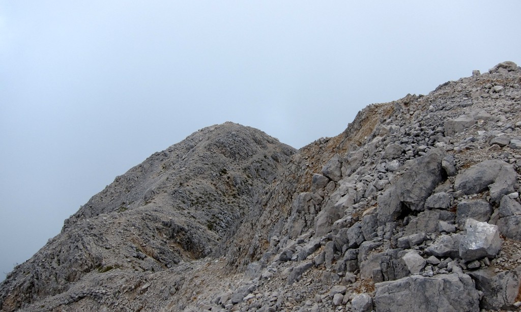
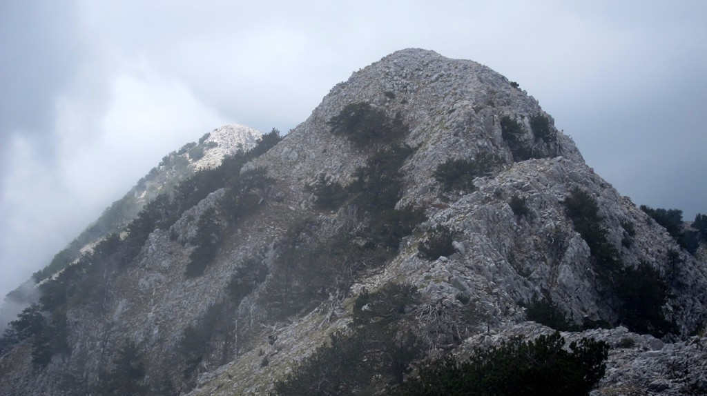
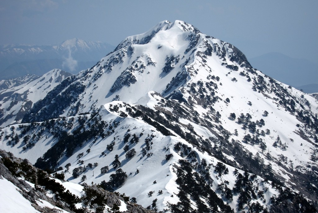
By the time you reach waypoint 5, you can relax – that is until you
glimpse the narrow ridge that separates the false summit from the
real one by 50 Meters or so.
For those not sure whether you want to make it across the long
summit ridge and back, you may climb
Qorres instead, and
still have a fantastic outing.
The climb: A visible trail most of the way.
| Maximum altitude: | 2044 meter |
| Minimum altitude: | 1006 meter |
| Cumulative height: | 1400 meter (including return trip) |
| Cumulative length: | 7 kilometer one way |
| Difficulty | moderate |
| Time: | 5.5 hours up |
| Date of this record | September 2013 |
| Download GPS info: | Mali i Cikes |
General location and approach: Start from Llogara Pass. There are hotels nearby (on the Vlore side of the Pass) from where an early start can be made.
Other Information: No potable water along the trail.
GPS and trailmaps: The map and
trailinformation is generated by
![]() , based
on GPS information collected from the actual hike. Waypoints
can be downloaded to a GPS device from Wikiloc. If necessary, use
GPSBabel to
convert GPS data to different formats. For more
hike descriptions by Palmtreetreeproduction, browse this
website or visit Wikiloc
and search for "Palmtreeproduction". You may also find
nearby trails from other authors.
, based
on GPS information collected from the actual hike. Waypoints
can be downloaded to a GPS device from Wikiloc. If necessary, use
GPSBabel to
convert GPS data to different formats. For more
hike descriptions by Palmtreetreeproduction, browse this
website or visit Wikiloc
and search for "Palmtreeproduction". You may also find
nearby trails from other authors.
Google Earth: You may also view the trail in 3D when viewing it in Google Earth, which you need to have installed on your computer. The 3D perspective allows a good preview of gradients, steepness, possible views and is generally helpful when planning a trip.