PALM TREE PRODUCTIONS
back to hikes and climbs back to Locations and Travel
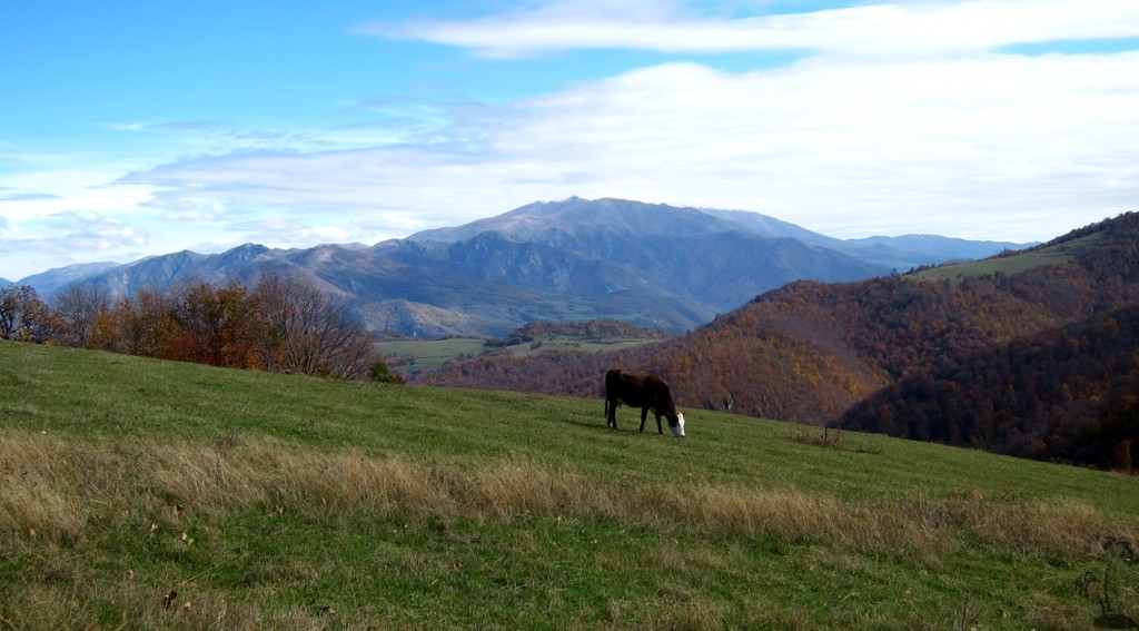
Parz Lich Hike![]()
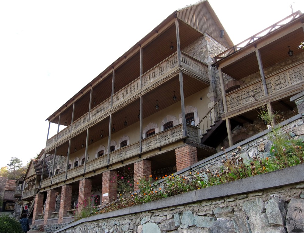
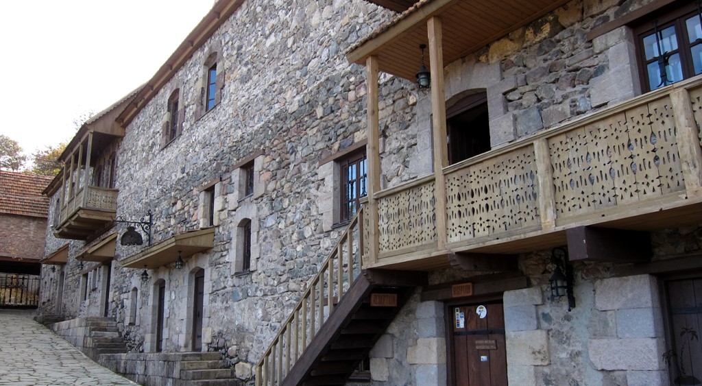
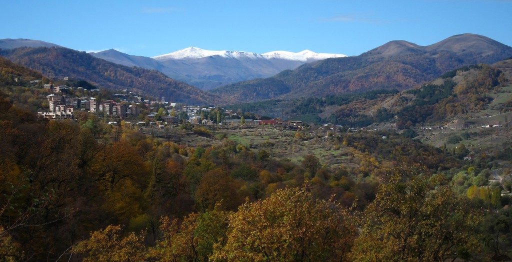
Having been dismissed by foul weather on Azhdahak, we were recovering our spirits through a grand tour of Armenian Monasteries. Still, we wanted to do some hiking, but were lacking information for alternative lower-altitude hikes suitable for late October. Hiking maps are not yet common in Armenia. Google Earth images of this part of Armenia are of rather low resolution and not good enough to plan a hiking tour. We were in Dilijan, which is a sort of Davos for Armenia, with some tourist infrastructure.
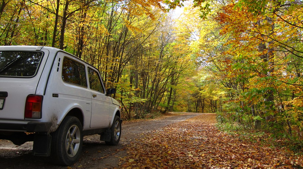
Part of this infrastucture is a road to and modest facilites around Parz Lich (Parz Lake). We left our Lada Niva somewhere along the road to stretch our legs. As it turned out, we happened to follow a route that would lead up to the summit of Maymekh Lerr, the Hausberg of Dilijan. Maymekh Lerr is more than 2600 meter high and would be a good destination and hike. Having made a late start in the morning, without much expectation for good weather or even a summit, it was too late for an attempt. But we can attest that our short excursion is the right direction for hiking Maymekh Lerr from the North.
| Maximum altitude: | 1793 meter | ||||||||||||||||||||||
| Minimum altitude: | 1522 meter | ||||||||||||||||||||||
| Cumulative height: | 283 meter | ||||||||||||||||||||||
| Cumulative length: | 2.2 kilometer one way | ||||||||||||||||||||||
Difficulty
| easy |
Time:
|
1 hour |
Date of this record |
October 2014 |
Download GPS info: |
Parz Lich Hike |
|
| |
|
|
|
|
|
|
|
|
|
|
|
|
|
|
General location and approach: Dilijan is a resort town, about 2 hours northeast from Yerevan. Parz Lich is signposted. The hike starts at the highest point of the Parz Lich road.
Other Information: We recommend the Tufenian Hotel in Dilijan.


Google Earth: You may also view the trail in 3D by clicking "view in Google Earth" when on Wikiloc. You need to have Google Earth installed on your computer.