PALM TREE PRODUCTIONS
back to Albania site back to hikes and climbs back to Locations and Travel
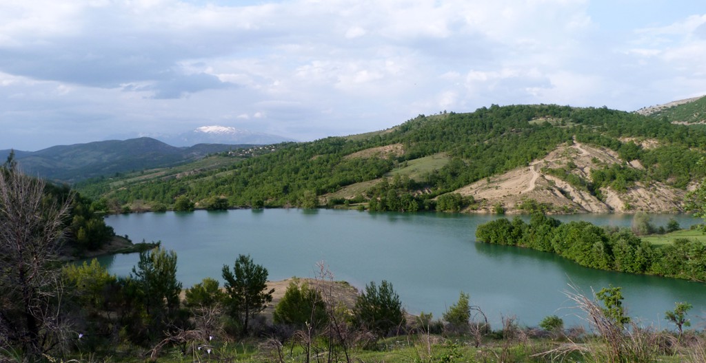
Berat to Këlcyra![]()
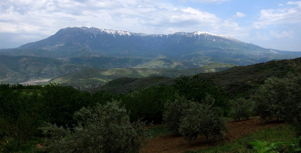
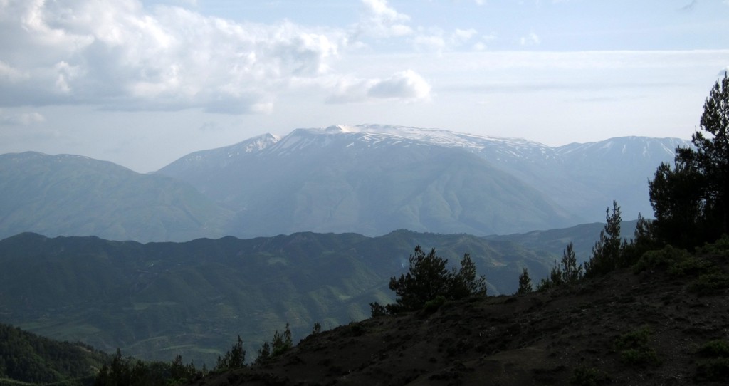
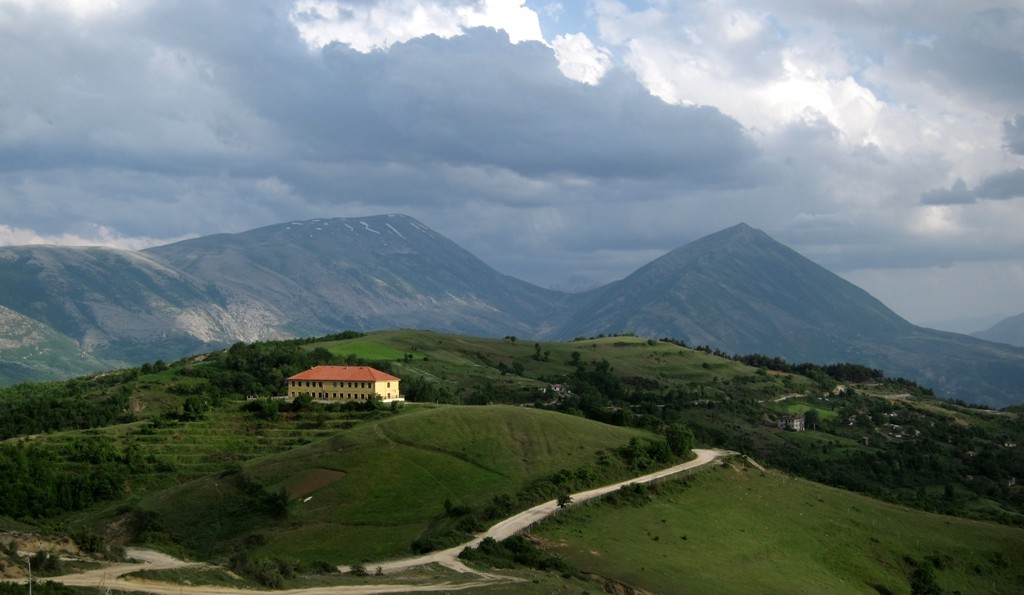
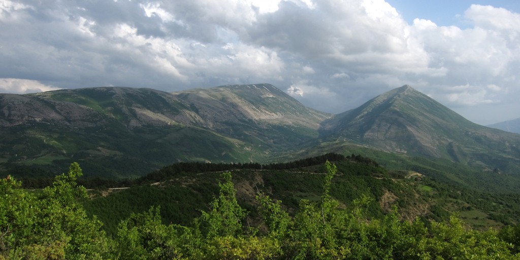
Summary: The road leads through a beautiful part of central south Albania, offering grand views towards Tomorri and many more mountains and villages. It is a highlight of any moderate 4-wheeling in Albania, connecting major towns in different regions.
We had driven the road from Këlcyra to Berat several years ago, shortly after having acquired our 4 wheels in Albania. We were misled by the maps that showed this road as a major highway - and spent several hours more on the road than anticipated. We believe that many enthusiasts are routinely becoming victims to this misinformation.
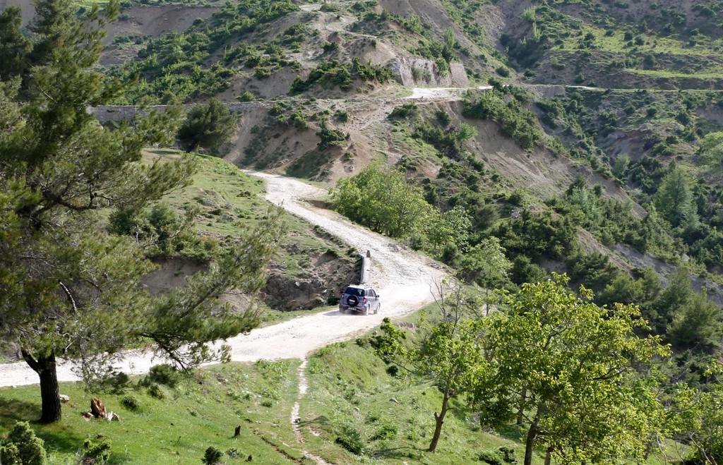
50,000 kilometer on Albanian roads and 4 years later, we went again, this time from Berat to Këlcyra. Compared to many other travails, the road is generally not too bad. However, in May 2013, erosion may render the road impassable after a few more heavy rains in two spots between Tërpan and Buzë, unless serious repair work is done.
We gave it a moderate rating, mainly on account of its length, and some spare time should be planned in case of delays.
| Maximum altitude: | 934 meter |
| Minimum altitude: | 54 meter |
| Cumulative height: | 1458 meter |
| Cumulative length: | 70 kilometer |
| Difficulty | moderate |
| Time: | 5 hours |
| Date of this record | May 2013 |
| Download GPS info: | Berat to Këlcyra |
General location and approach: From Berat to Këlcyra or vice versa. The drive starts at the bridge over the Osumi, in Berat.
Other Information: In case of problems or delays, an escape is possible from Buzë (about the midpoint between Berat and Këlcyra) to Memaliaj, near Tepelene. The last 15 kilometer from Dicnica to Këlcyra are on very good dirt road, which we expect to be soon covered with asphalt.

GPS and trailmaps: The map and
trailinformation is generated by
![]() , based
on GPS information collected from the actual hike. Waypoints
can be downloaded to a GPS device from Wikiloc. If necessary, use
GPSBabel to
convert GPS data to different formats. For more
hike descriptions by Palmtreetreeproduction, browse this
website or visit Wikiloc
and search for "Palmtreeproduction". You may also find
nearby trails from other authors.
, based
on GPS information collected from the actual hike. Waypoints
can be downloaded to a GPS device from Wikiloc. If necessary, use
GPSBabel to
convert GPS data to different formats. For more
hike descriptions by Palmtreetreeproduction, browse this
website or visit Wikiloc
and search for "Palmtreeproduction". You may also find
nearby trails from other authors.
Google Earth: You may also view the trail in 3D when viewing it in Google Earth, which you need to have installed on your computer. The 3D perspective allows a good preview of gradients, steepness, possible views and is generally helpful when planning a trip.