PALM TREE PRODUCTIONS
back to Albania site back to hikes and climbs back to Locations and Travel
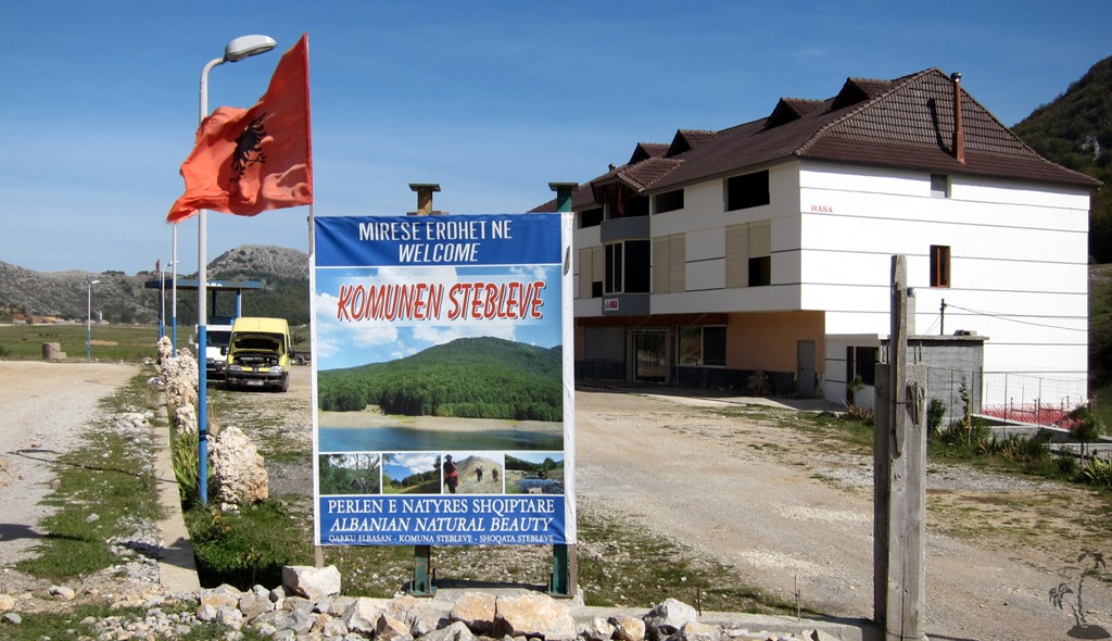
From Librazhd to Maqellare - on the fast track![]()
Summary: While the road along the black Drin via Klenjes and Stebleve remains one of our favorites, a new fast-track has been under construction for quite a while, connecting Librazhd with Maqellare or Peshkopi - and vice versa of course. The road is planned to have double lanes, and once completed, it will close the last asphalt link between Tropoja in the north and Korca in the south.
For tourists and sight-seers, it will offer an excellent opportunity for circular drives connecting Northern and Southern Albania withouth the need to come back to Tirana.
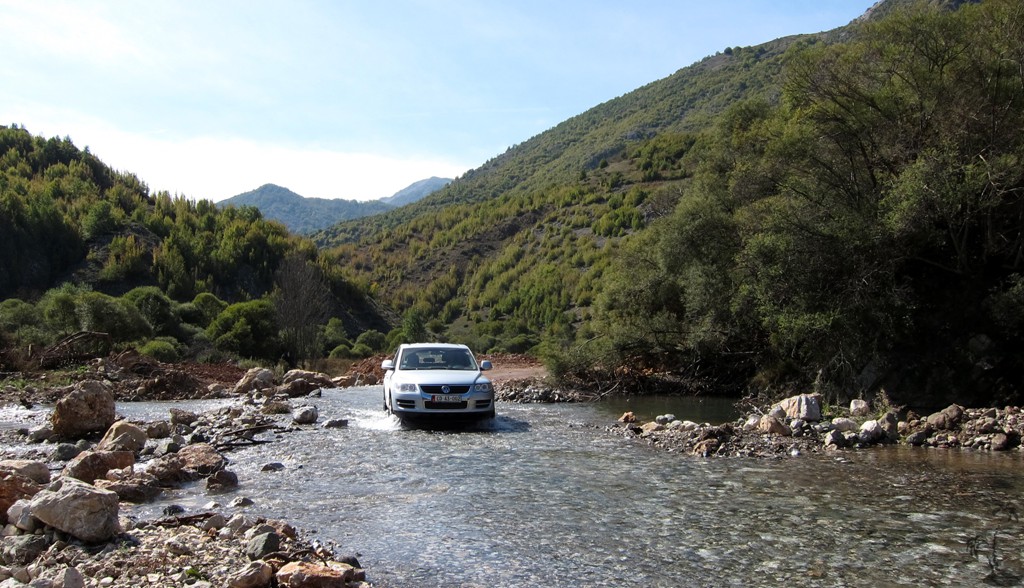
Even now, before its completion, the road is good enough for regular cars, though there is one river ford (which always carries water) on gravel and possibly some difficult stretches depending on the earth work that is still necessary. For that reason we really recommend it only for a high clearance vehicle, for now.
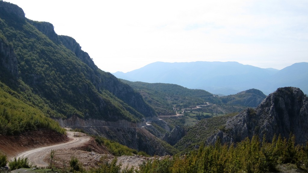
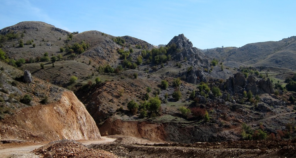
Interestingly, the road is not the improvement of an existing road. Between Studa and Ostren (and beyond) it breaks new ground. It does so along a high plateau which offers great views to the mountains on the Albania - Macedonia border. Even now, still incomplete, it is a very interesting alternative for driving from Tirana to Diber or Peshkopi, which will not take longer than the regular route via Burrel and Bulquize. The first 10 kilometer from Librazhd are asphalt already.
| Maximum altitude: | 1184 meter |
| Minimum altitude: | 258 meter |
| Cumulative height: | 1528 meter |
| Cumulative length: | 58 kilometer |
| Difficulty | easy |
| Time: | 2 hours |
| Date of this record | September 2013 |
| Download GPS info: | Librazhd to Maqellare |
General location and approach: Librazhd to Peshkopi
Other Information: There is a hotel (under renovation) in Studa, and in Maqellare


GPS and trailmaps: The map and
trailinformation is generated by
![]() , based
on GPS information collected from the actual hike. Waypoints
can be downloaded to a GPS device from Wikiloc. If necessary, use
GPSBabel to
convert GPS data to different formats. For more
hike descriptions by Palmtreetreeproduction, browse this
website or visit Wikiloc
and search for "Palmtreeproduction". You may also find
nearby trails from other authors.
, based
on GPS information collected from the actual hike. Waypoints
can be downloaded to a GPS device from Wikiloc. If necessary, use
GPSBabel to
convert GPS data to different formats. For more
hike descriptions by Palmtreetreeproduction, browse this
website or visit Wikiloc
and search for "Palmtreeproduction". You may also find
nearby trails from other authors.
Google Earth: You may also view the trail in 3D when viewing it in Google Earth, which you need to have installed on your computer. The 3D perspective allows a good preview of gradients, steepness, possible views and is generally helpful when planning a trip.