PALM TREE PRODUCTIONS
back to Albania site back to hikes and climbs back to Locations and Travel
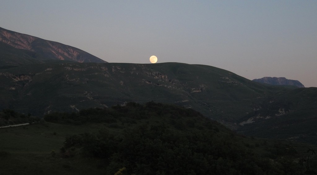
Tepelene to Vlora![]() 'Shortcut'
'Shortcut'
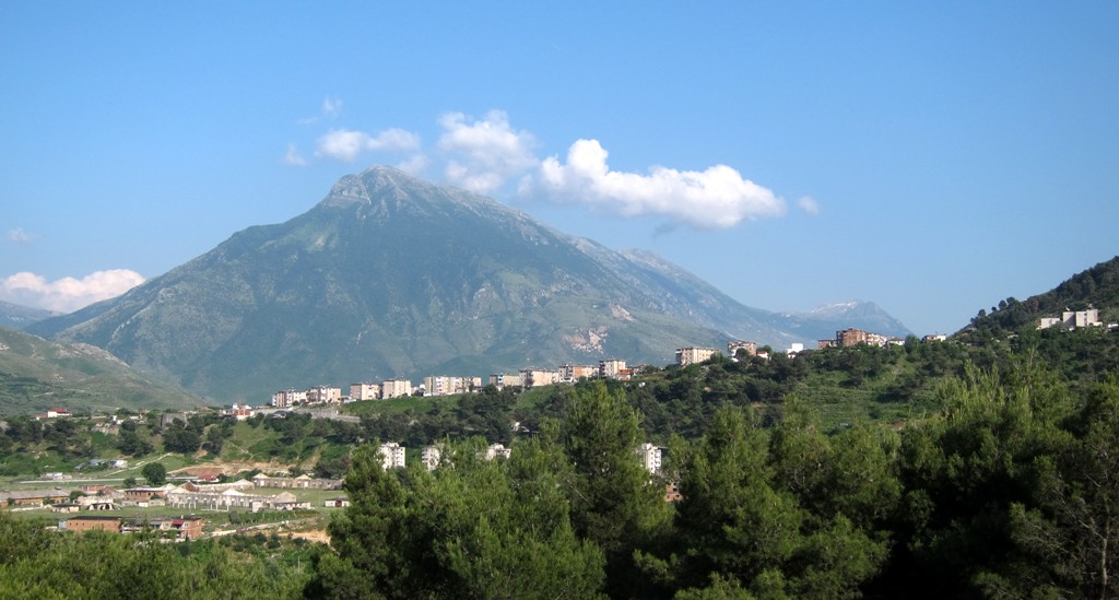
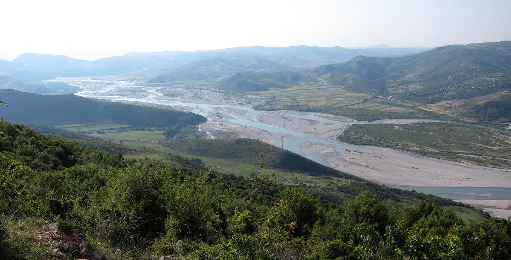
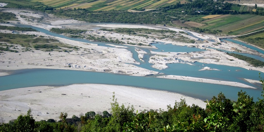
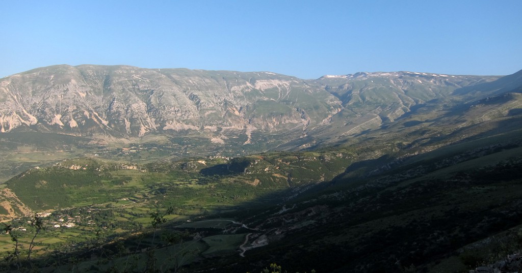
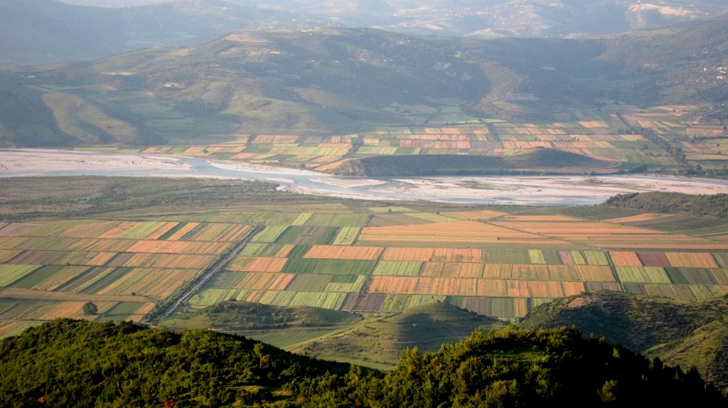
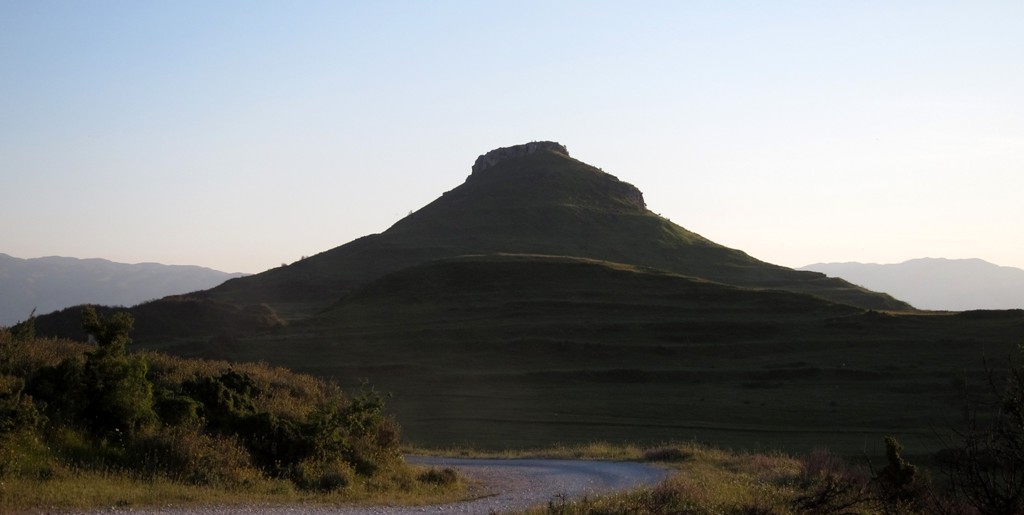
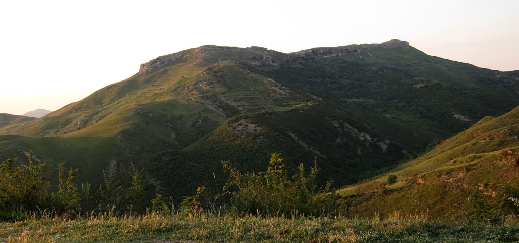
Summary: This trail might be the shortest, but certainly not the fastest way from Tepelene to Vlora (or vice versa). A 4WD is highly advised, as some parts of the trail are slow going over rocky and eroded stretches. There is a lot of up-and down on the trail. Skirting the slopes of Mali Gribës (or Kendervicës Mountain), it provides a lofty view across the Vjosa valley, as it widenes towards Vlora and the Adriatic Sea. There are also glimpses of the heights, if not the summit of Kendervicës.
The trail also passes the old fortress of Amantia, an excursion in itself. The first 45 km of the trail (from Tepelene) are on dirt road, the remaining 30 km to Vlora on asphalt.
| Maximum altitude: | 617 meter |
| Minimum altitude: | 10 meter |
| Cumulative height: | 1297 meter |
| Cumulative length: | 77 kilometer |
| Difficulty | easy |
| Time: | 3 hours, not counting breaks |
| Date of this record | June 2012 |
| Download GPS info: | Tepelene to Vlora |
General location and approach: When coming from Ballsh, just before reaching Tepelene, turn right. After a few hundred meters, keep right. This is an asphalt road for very few kilometers, which then turns into a reasonably good dirt track until the village of Dhëmblan. At the junction (with an asphalt road leading left into the village) turn right. The track becomes more rocky as it climbs to an altitude of more than 600 meters.
Other Information: The trail is not difficult, and could be an ideal test run for your new 4WD. There is some little traffic on the road, and you can be sure to be helped if needed.
GPS and trailmaps: The map and trailinformation is generated by www.wikiloc.org, based on GPS information collected from the actual hike. Waypoints can be downloaded to a GPS device from Wikiloc. If necessary, use GPSBabel to convert GPS data to different formats. For more hike descriptions by Palmtreetreeproduction, browse this website or visit Wikiloc and search for "Palmtreeproduction". You may also find nearby trails from other authors.
Google Earth: You may also view the trail in 3D by viewing it directly in Google Earth. You need to have Google Earth installed on your computer. Activate "wikiloc"in the "Gallery" menu in Google earth.