PALM TREE PRODUCTIONS
back to Albania site back to hikes and climbs back to Locations and Travel
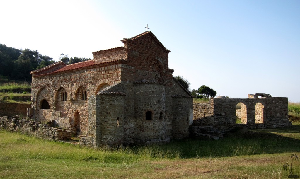
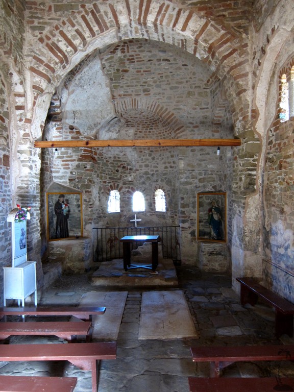
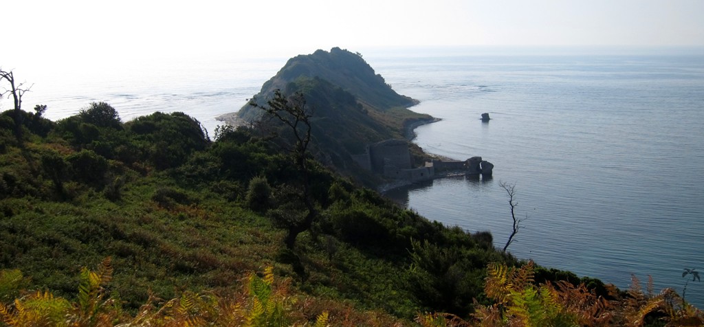
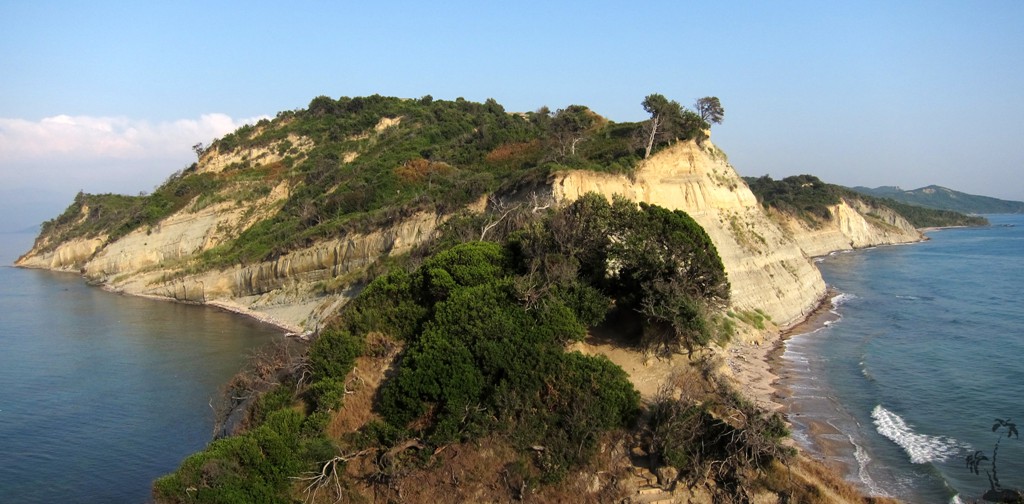
Kepi i Rodonit
Summary: A daytrip from Tirana to stunning cape, an ancient
church, and an old fortress - about 100 kilometer roundtrip from
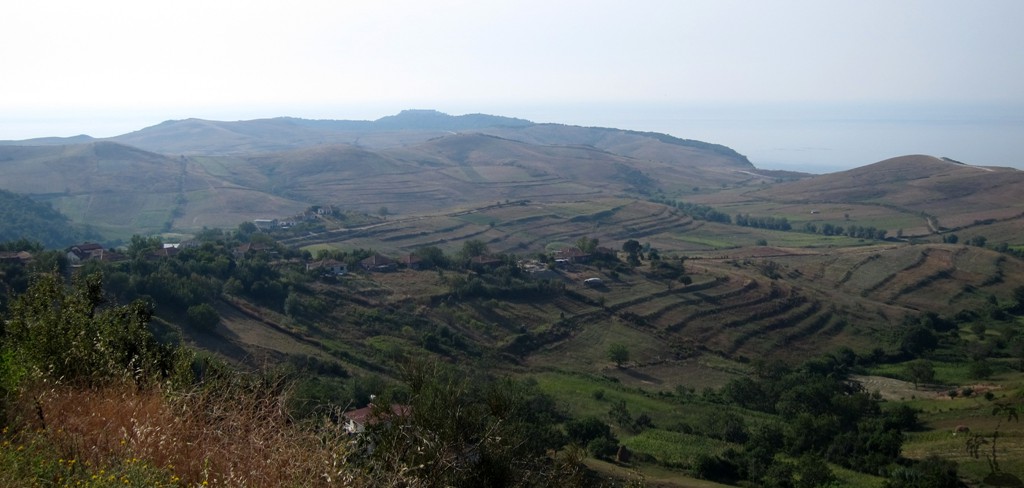
Tirana. The trail leads through a varied landscape, sometimes
remiscent of a coastline in England.
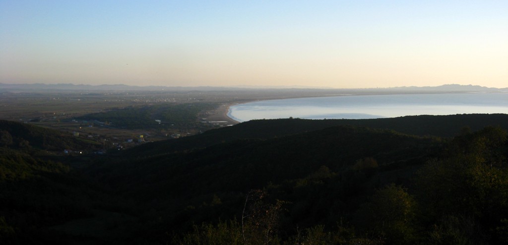
The trail is marked from the turn off from the Vora-Kruja road, to
the Cape and back via the Gjiri i Lalzit Beach where you may round
off you trip with a bath before heading home towards the
Durres-Tirana highway. Most of the route is on asphalt, though it is
a dirt track between Lalëz and Draç, and for the last kilometers to
the Cape. From the church, it is possible to drive a couple of
hundred meter on a 4WD track, before continuing on foot to look at
or visit the castle.Up to the church (and the main parking point),
no 4WD is necessary.
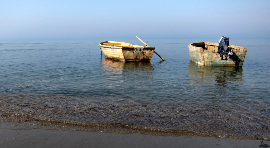
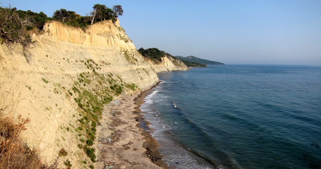
Of course you can swim at Cape Rodonit, though much of it consists
of steep cliffs and access to the beach not always easy.
Near the church is a sort of bar or restaurant, which may operate
during the season. Also, depending on the season and the current,
the view beaches may be or less inviting for a bath, owing to the
plastic trash washed ashore. We preferred Gjiri i Lalzit Beach for a
dip in the water, though we saw pictures of Kepi i Rodonit perfectly
clean...
| Maximum altitude: | 204 meter |
| Minimum altitude: | 0 meter |
| Cumulative height: | 855 meter |
| Cumulative length: | 46 kilometers of trail as shown; about 100 km rountrip from Tirana |
| Difficulty | easy |
| Time: | 3 hours driving |
| Date of this record | August 2012 |
| Download GPS info: | Kepi i Rodonit |
General location and approach: North of Durres. Best reached either from the Vora-Kruja road (as suggested with the trail), or from the Tirana - Durres highway - leave the highway at Maminas for the beaches north of Durres.
Other Information: None
Google Earth: You may also view the trail in 3D by clicking "view in Google Earth" when on Wikiloc. You need to have Google Earth installed on your computer.