PALM TREE PRODUCTIONS
back to Albania site back to hikes and climbs back to Locations and Travel
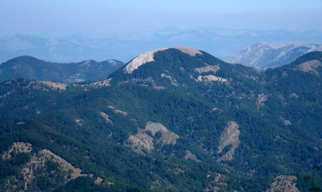
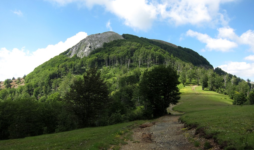
We called it Bald Head![]() - Maja e Shirokut
- Maja e Shirokut![]()
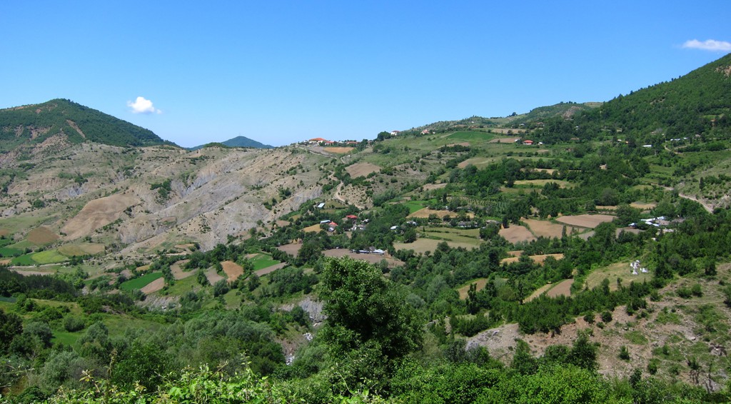
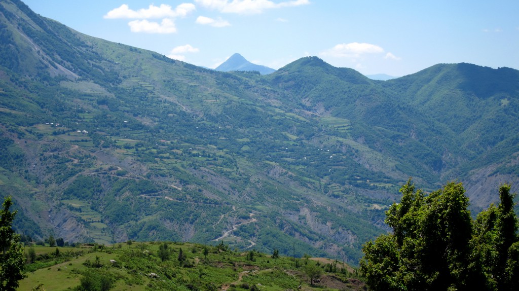
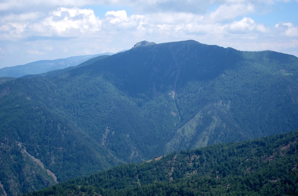
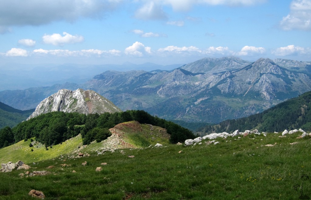
Summary: Bald Head has been our working title for Shirokë (or Maja e Shirokut) ever since we saw it first from Guri i Zi. Its appearance - at least from Guri i Zi - is very striking. It sits in the middle of a (still) heavily forested area, somehow in the middle of the virtual triangle that connects Librazhd, Gramsh and Pogradec.
Shirokë belongs to the mountain range that starts near Elbasan with Mali i Bukanikut, Mali i Polisit and nearby Maja e Gafferit - often collectively referred to as Shpat. South of Shirokë is Guri i Zi and further on Valamares.
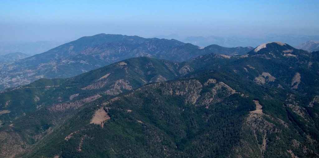
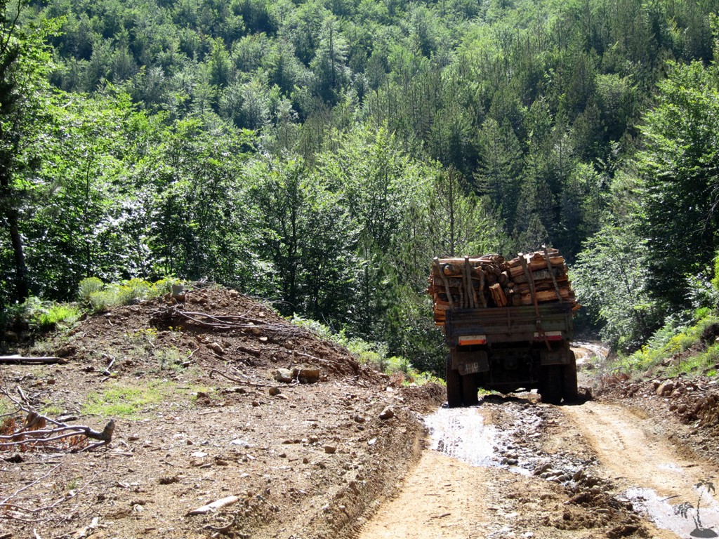
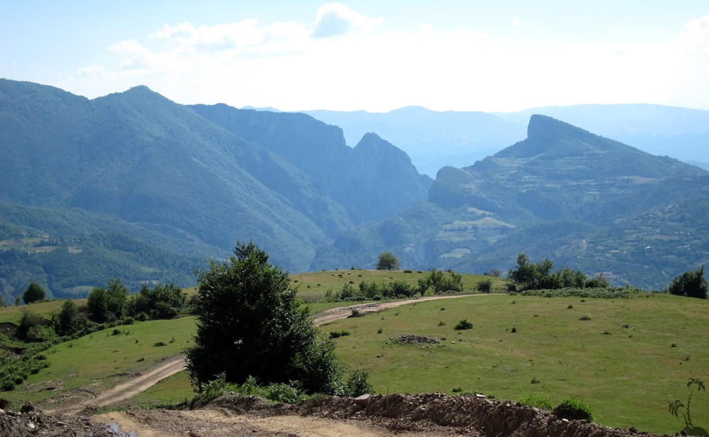
The entire area still has a lot of timber, and it shows. Logging roads criss-cross the valleys and up the mountains, and during your trip you are likely to hear every now and then the noise of chainsaws and heavy equipment. We do believe in well planned forest management that protects the interest of both the people living there and those interested in environmental protection and sustainable growth. How to strike the best balance must become subject of public discussion where every party receives a fair hearing, and where a vision for sustainable growth - once agreed - is pursued and enforced.
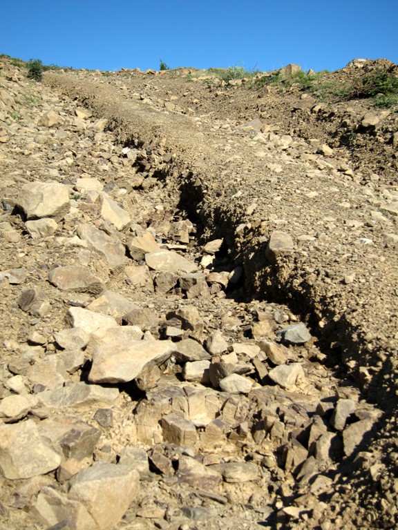
The biggest challenge for hiking Shirokë is finding a way to get there. Logging roads tend to be deeply rutted, and often impossible to maneuver for regular 4WD vehicles. Thankfully, there is a way that puts Shirokë into reach for a leisurely afternoon hike. The approach from Zavaline is in very good condition. However, for the return we selected a different trail down to Porocan, which is quite difficult. If you do not have much appetite for 4WD adventure, better return from to Zavaline and the way you came.
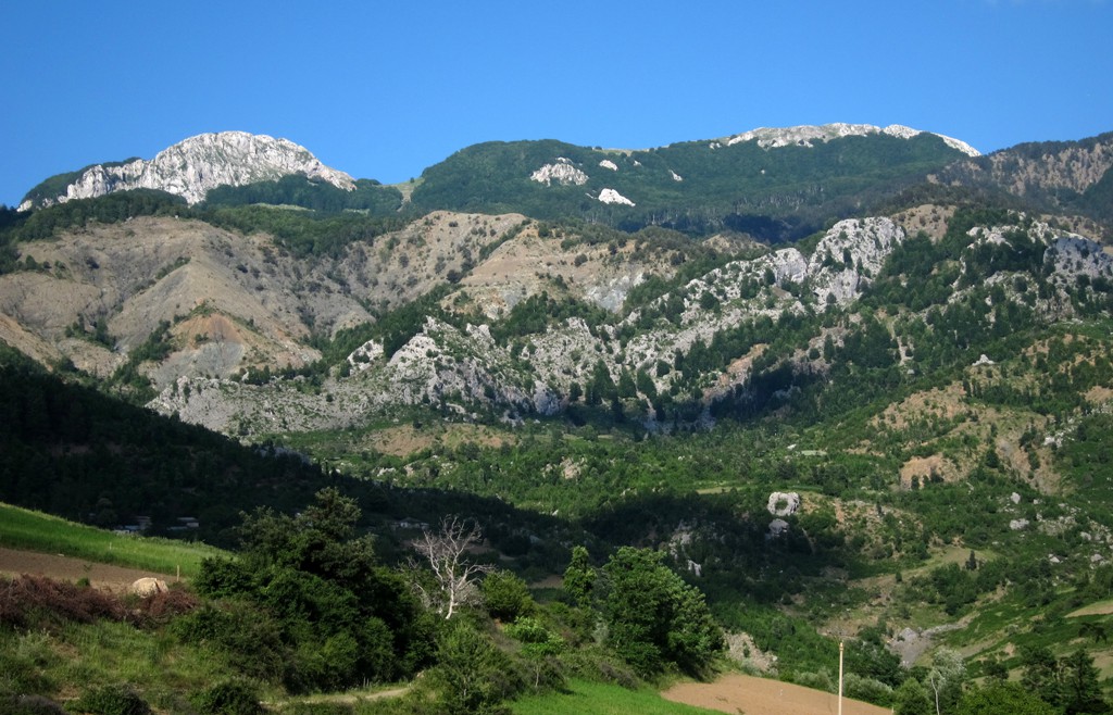
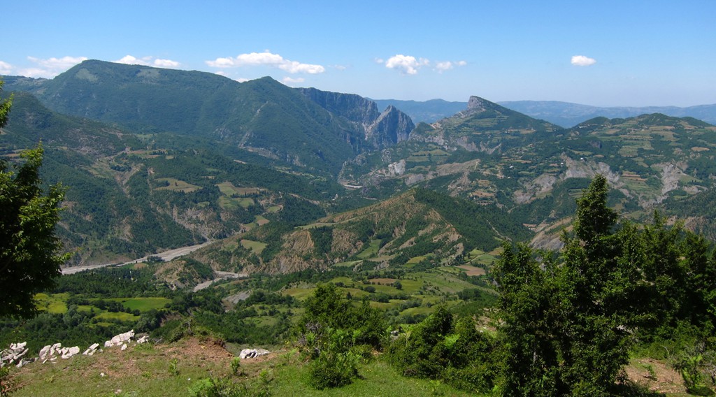
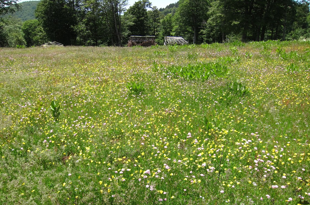
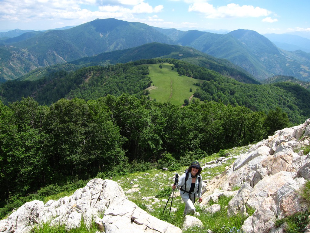
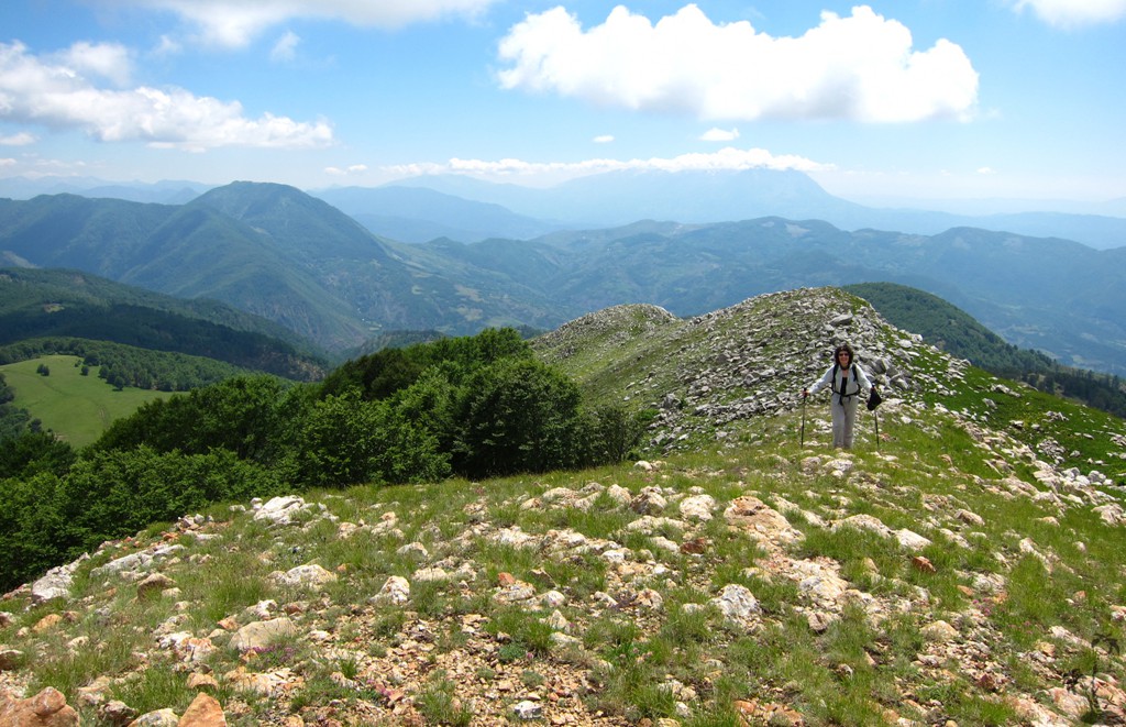
The approach to Shirokë is very scenic, including the varied views to the Holta Gorge. Also the views from the summit of Shirokë are excellent.
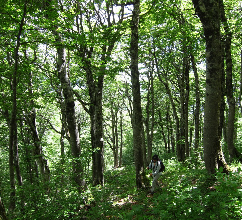
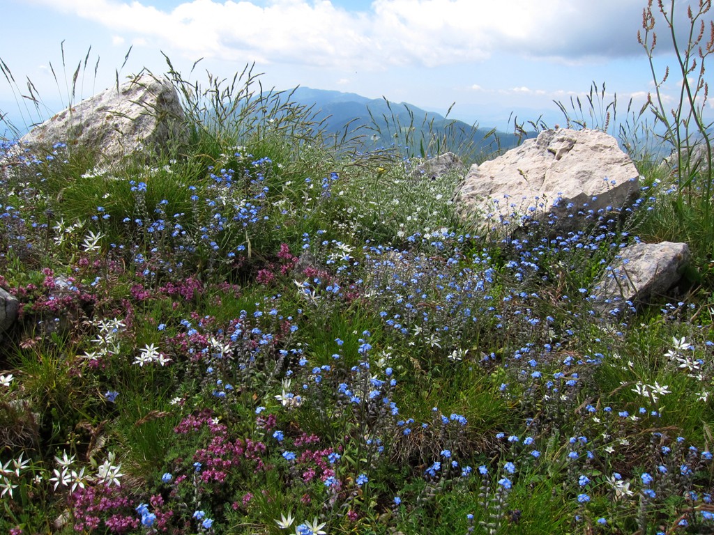
The hike: This is a short hike, much of it in the shade of trees. At waypoint A, which is at the crossing of forest roads, take care to find the footpath going up the ridge. Don't miss it. There is open grazing near the waypoint E-Stan. From there, bushwhack through steep forest, and finish with a short scramble to the summit of Shirakë.
| Maximum altitude: | 1876 meters | ||||||||||||||||||||||
| Minimum altitude: | 1373 meter | ||||||||||||||||||||||
| Cumulative height: | 527 meter | ||||||||||||||||||||||
| Cumulative length: | 2.52 kilometer one way | ||||||||||||||||||||||
Difficulty
| moderate |
Time:
|
1.5 hours |
Date of this record |
June 2014 |
Download GPS info: |
Shirokë |
|
| |
|
|
|
|
|
|
|
|
|
|
|
|
|
|
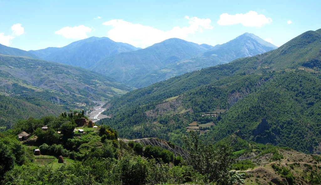
Drive to trailhead: The 4WD trail to the trailhead of Shirokë connects to the trail from Gjinar to the Holta Canyon, which we published earlier. Note that the (earlier published) road from Elbasan to Gjinar is asphalt. From Gjinar to Zavaline is a small dirt road which is not in very good condition and somewhat exposed in the middle. From Zavaline to the Gramsh road is mainly on dirt, but generally easy.
Our 4WD trail to the trailhead of Shirokë starts in Zavaline. It goes east on a very good dirt road to the village Kamiçan and continues to a radio tower. Here, the road turns into a track. Continue on this track up to the trailhead for Shirokë for 4.5 kilometer. Should the trail become too difficult because of damage by timber trucks, you may consider leaving the vehicle and walk from there to Shirokë.
Shortly after the radio tower (when coming from Zavaline) another track turns off to the right to Porocan. It is in very poor condition, badly eroded, and according to local knowledge no longer used. We expect this trail to become even worse, and possibly impossible, in due course. The most difficult spots are near the top, shortly after the turn-off. This is why we recommend to take this trail in this direction, as you will be able to quickly backtrack to Zavaline and Elbasan or Gramsh on comparatively good roads, should the need arise. In contrast, if you do this stretch starting in Porocan, you would only find out near the top of trail whether you will be able to continue or not, and return all the way on the very difficult track back to Porocan.
The road from Porocan to Gramsh is in good condition.
| Maximum altitude: | 1449 meter | ||||||||||||||||||||||
| Minimum altitude: | 467 meter | ||||||||||||||||||||||
| Cumulative height: | 1152 meter | ||||||||||||||||||||||
| Cumulative length: | 27 kilometer | ||||||||||||||||||||||
Difficulty
| very difficult |
Time:
|
about 3 hours |
Date of this record |
June 2014 |
Download GPS info: |
Zavaline |
|
| |
|
|
|
|
|
|
|
|
|
|
|
|
|
|
General location and approach: South of Elbasan and east of Gramsh
Other Information: Accomodation in Elbasan or Gramsh.
Google Earth: You may also view the trail in 3D by clicking "view in Google Earth" when on Wikiloc. You need to have Google Earth installed on your computer.