PALM TREE PRODUCTIONS
back to Albania site back to hikes and climbs back to Locations and Travel
Arber Road: Tirana - Zall - Guri Bardhë - Klos and Hiking
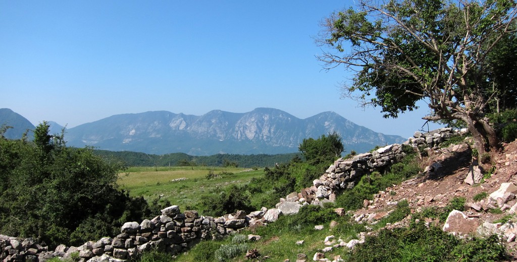
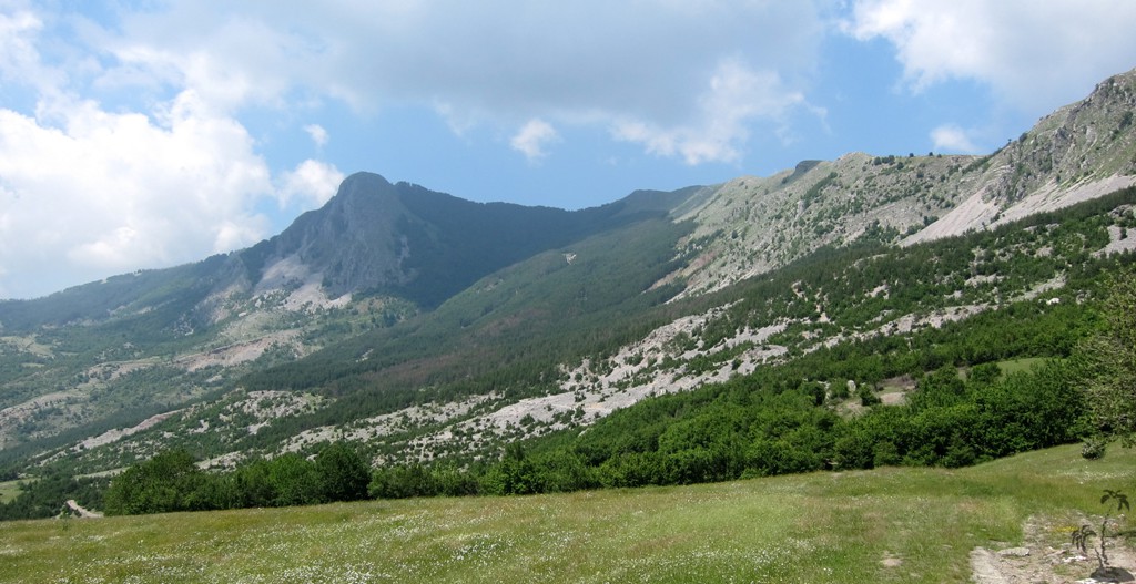
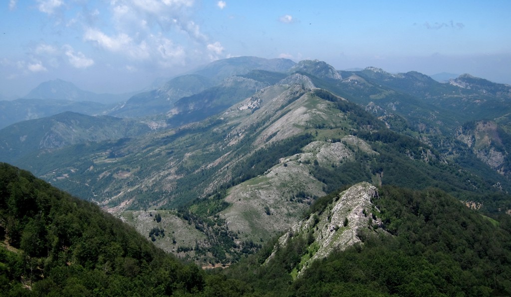
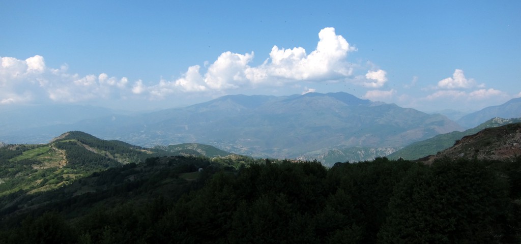
Mali i Papatit![]()
![]()
Summary: The fabled Arber road, whenever it will be completed, is going to be the fastet connection between West and East, or Tirana and Burrel, Klos, Peshkopi and Dibra in Macedonia. For now and for some years to come, it will remain the stuff for adventurers, off road enthusiasts and those in search of rarely climbed mountains.
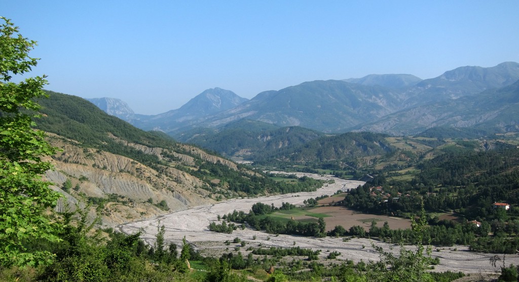
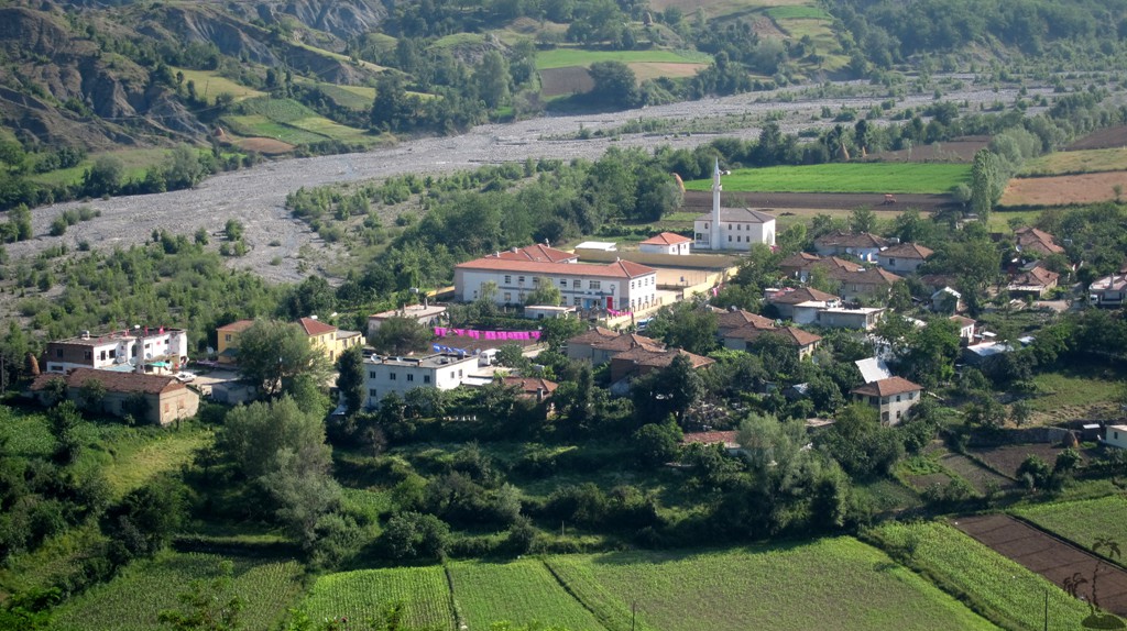
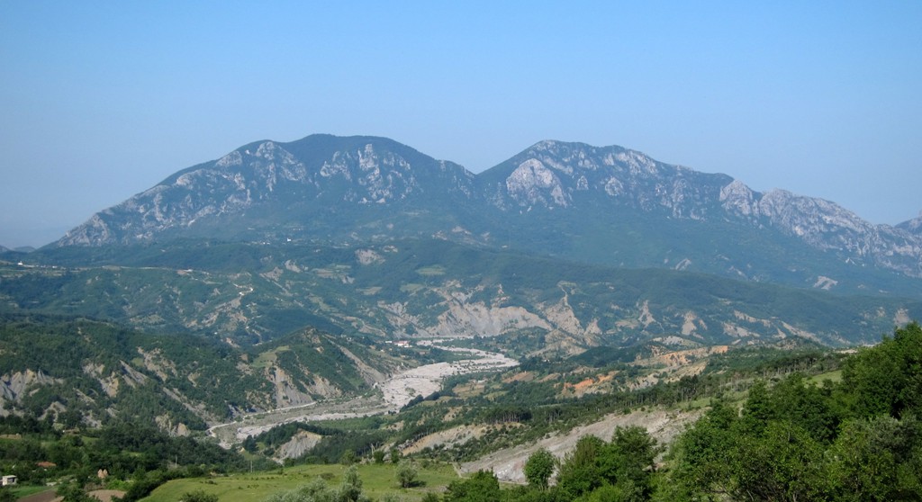
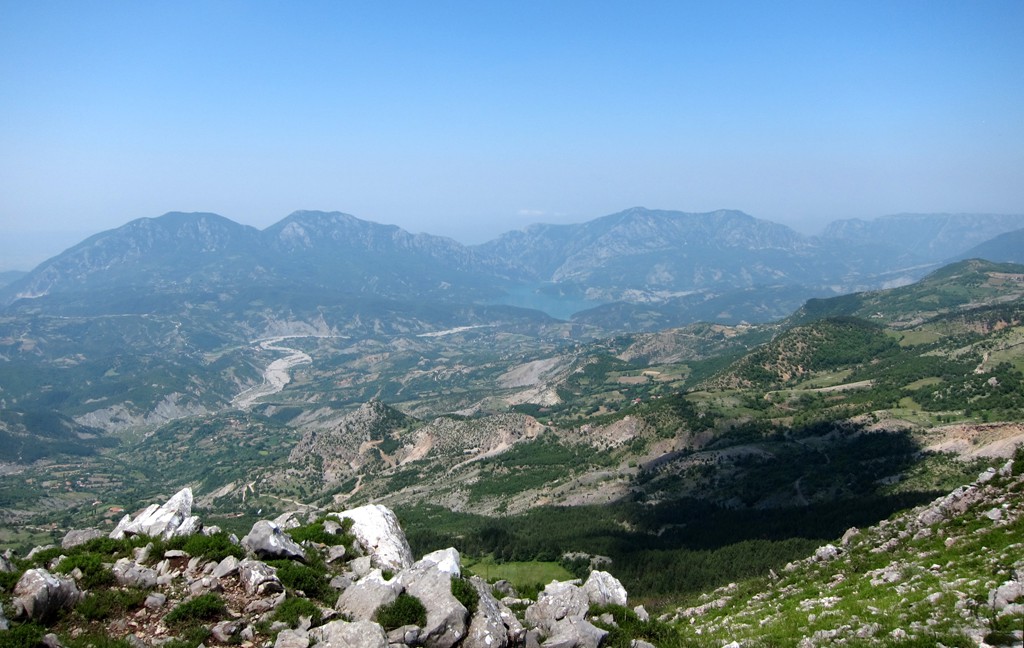
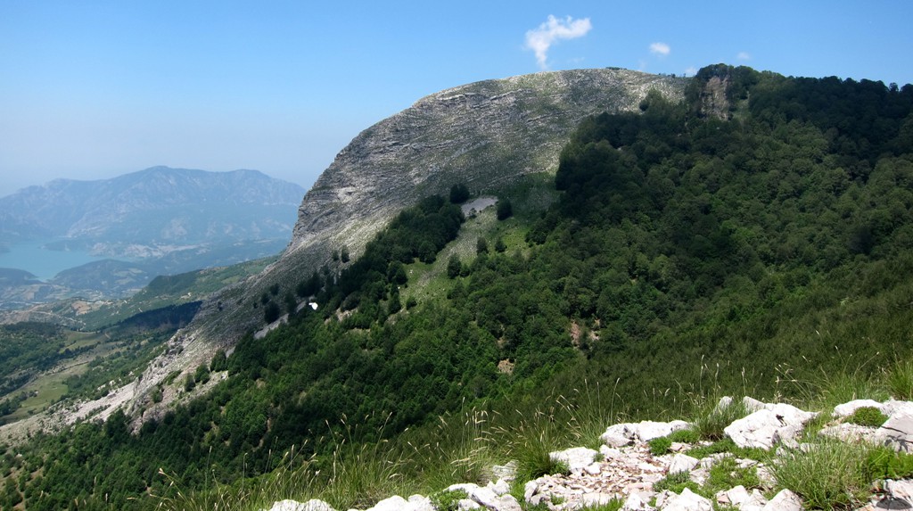
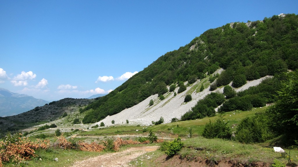
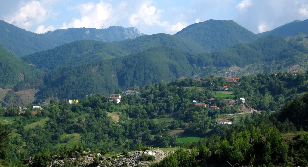
The offroad trip from Dajti Mountain to Klos has been the most viewed and downloaded trail among our Albania trails. This trail is no less challenging and quite comparable. It joins the Dajti to Klos trail in Guri Bardhë, and might be a little shorter overall. This gives time to do some interesting hike along the way - we climbed Mali i Papatit. We gleaned the name of the mountain from a map, though it is not widely known and even the shepherd on its ridge wasn't sure about the proper designation.
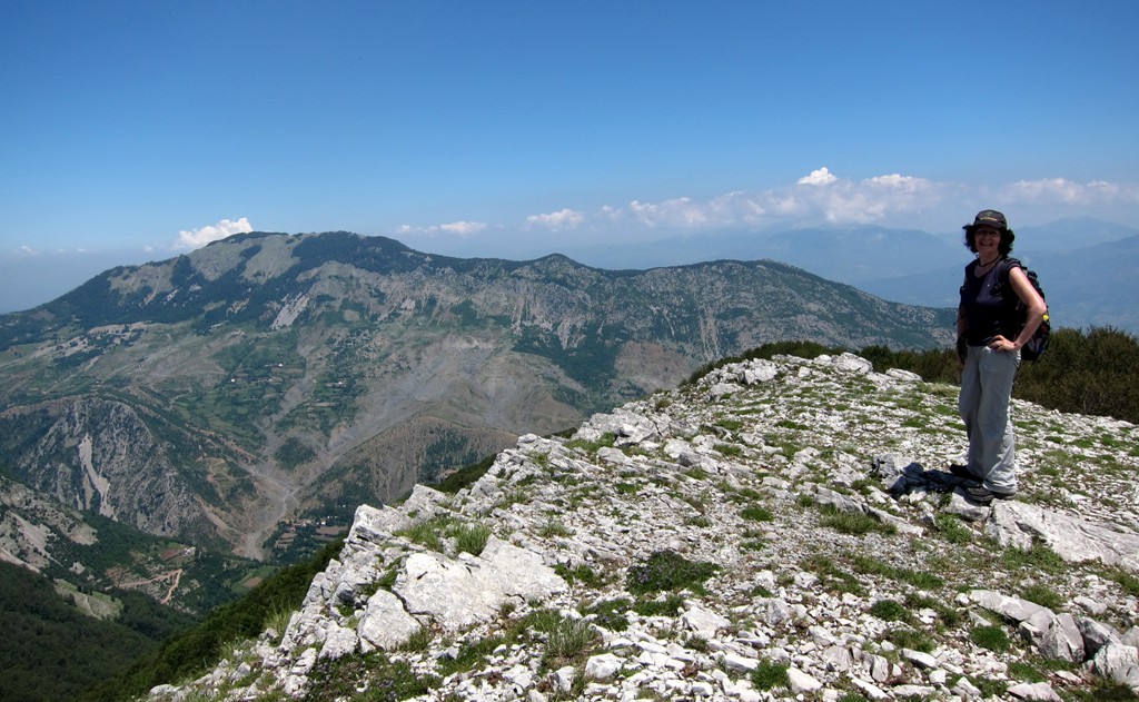
Mali i Papatit is almost as high as Dajti Mountain, and both the drive and the climb offer wonderfull insights into the area hidden behind Dajti Mountain and the entire front range near Tirana.
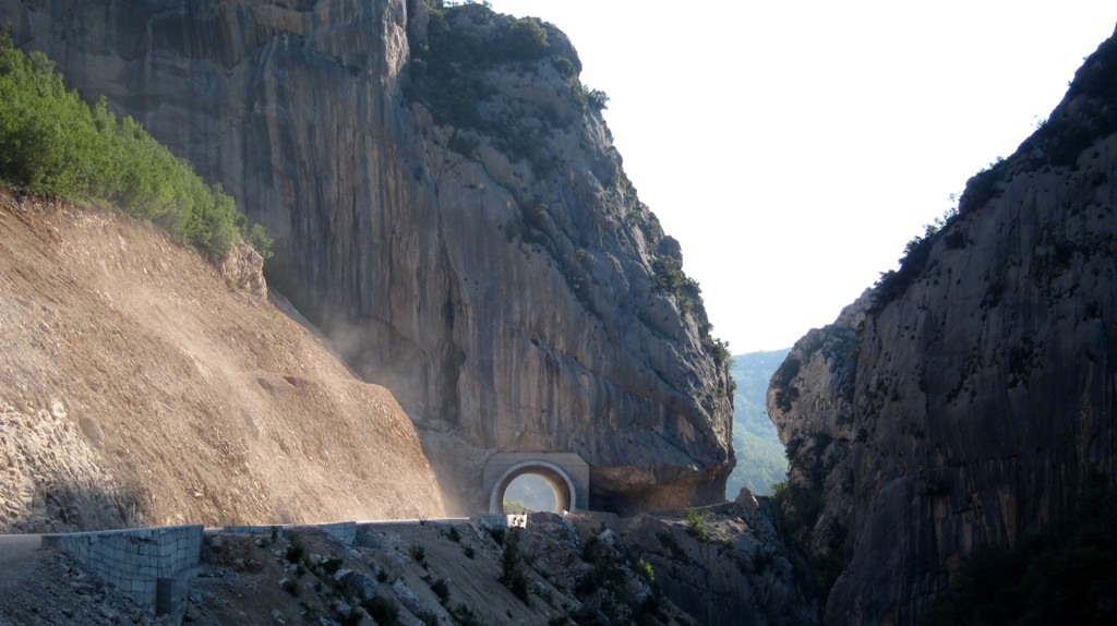
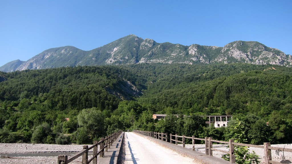
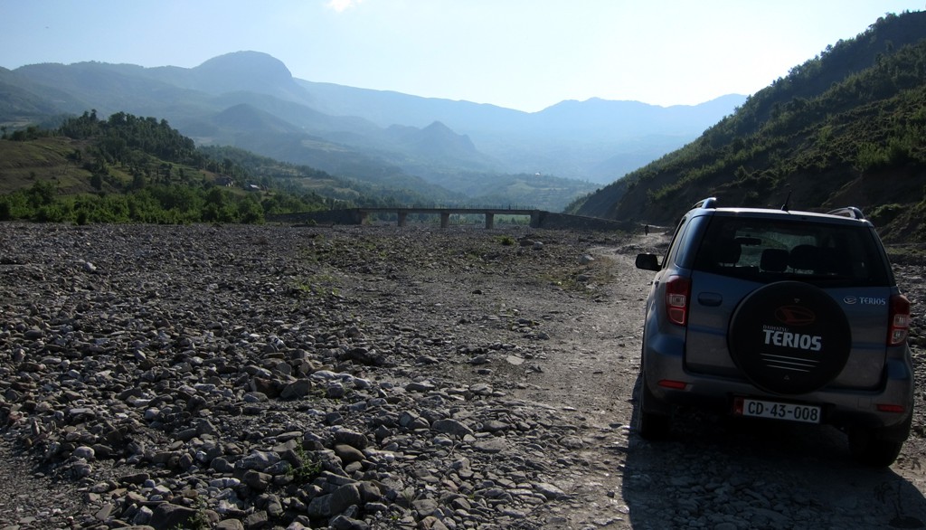
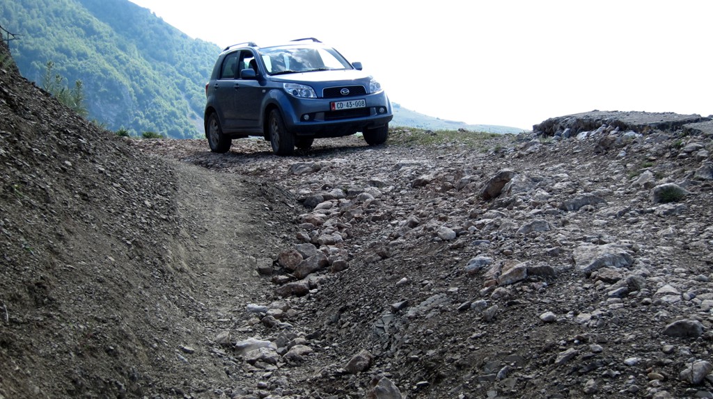
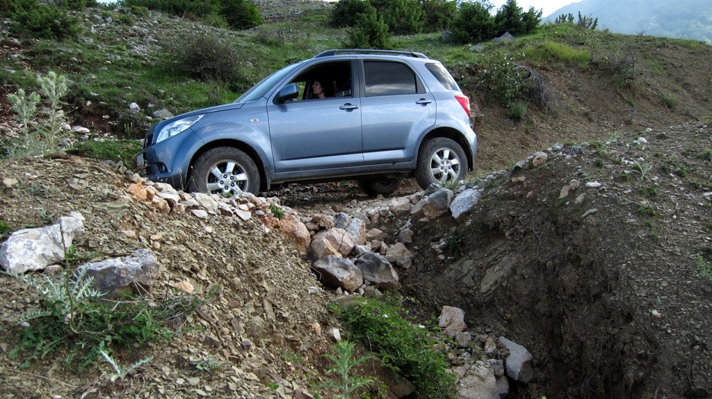
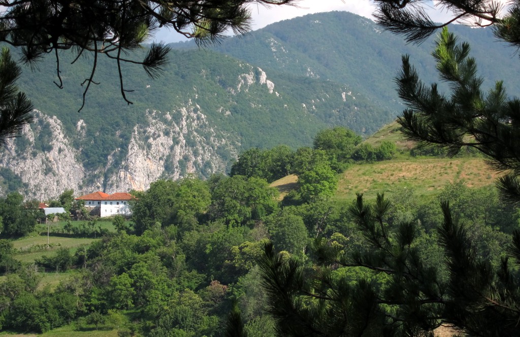
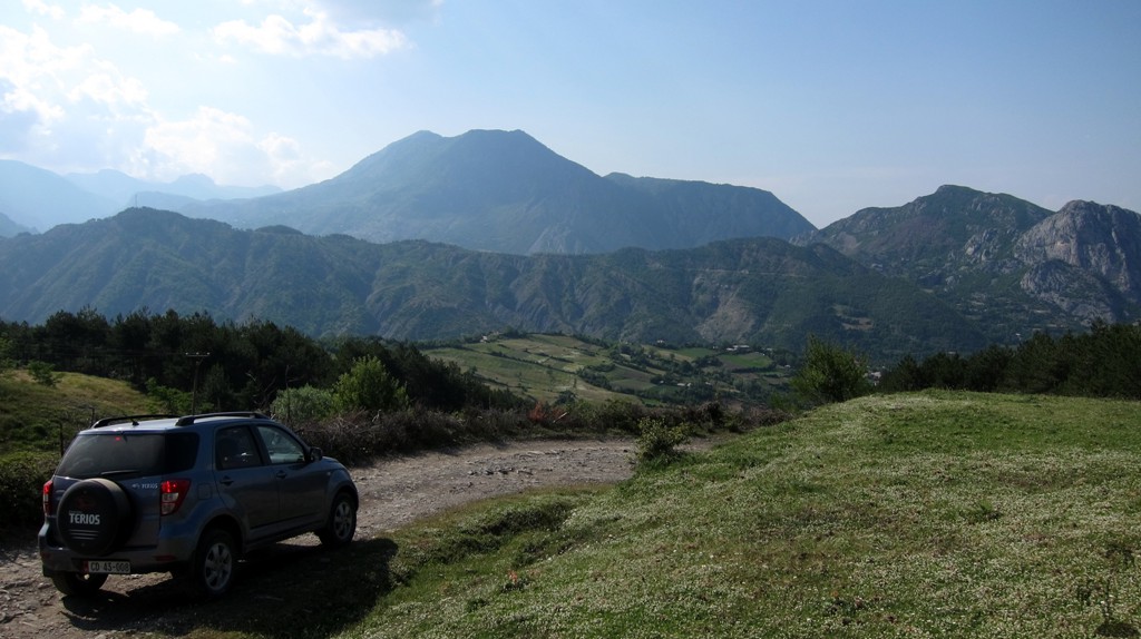
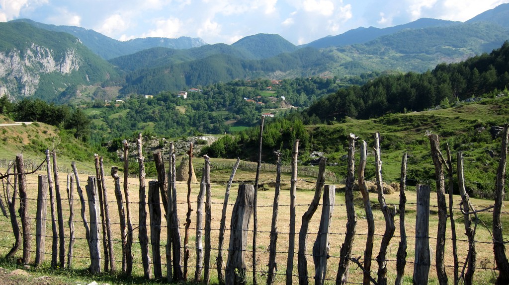
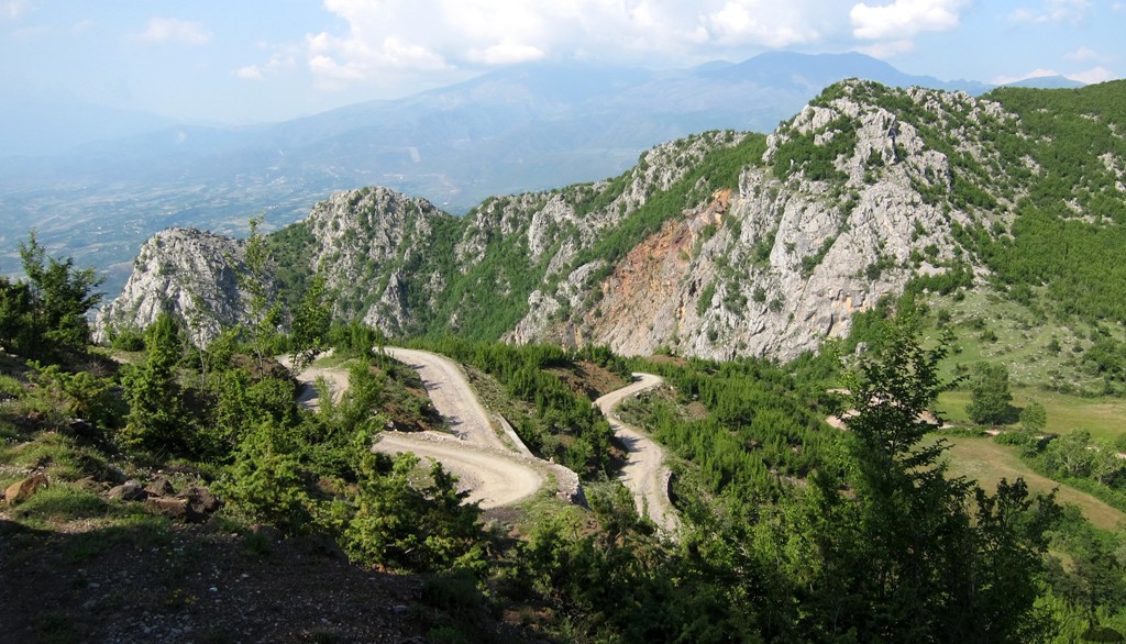
The Drive: Until 2012, the beginning of the Arber Road squeezed itself through the Tirana River Canyon (also called Shkalla Tujanit) along a narrow and at places precarious road before it entered the wide hinterland belonging to the communa Zall. In mid 2013, construction of the Arber road has reached the end of the Tirana River Canyon, somewhat diminishing its beauty. The road still needs to be surfaced. From there onward, the road deteriorates, though it also has some stretches where movement is more straightforward. The road passes through several villages belonging to Zall, before it reachs the height of land near Qafa e Murrizes. From here towards Guri Bardhe, landslides and logging trucks had destroyed parts of the old road, which has some difficult spots. Not recommended when wet. From Guri Bardhë, follow the road to Klos along the Dajti Mountain to Klos trail.
| Maximum altitude: | 1299 meter |
| Minimum altitude: | 151 meter |
| Cumulative height: | 1347 meter |
| Cumulative length: | 31 kilometersplus 10 km from Guri Bardhë to Klos |
| Difficulty | difficult |
| Time: | 4 to Klos |
| Date of this record | June 2013 |
| Download GPS info: | Zall - Guri Bardhe - Klos |
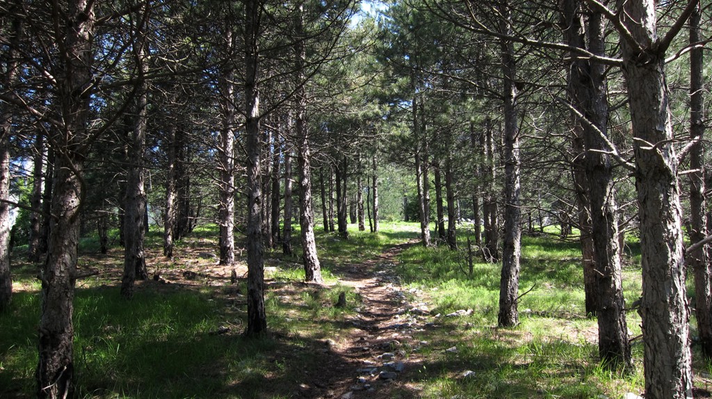
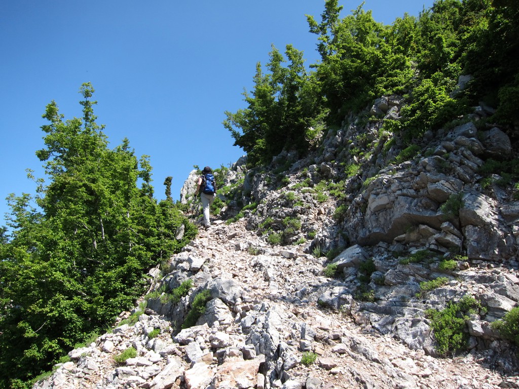
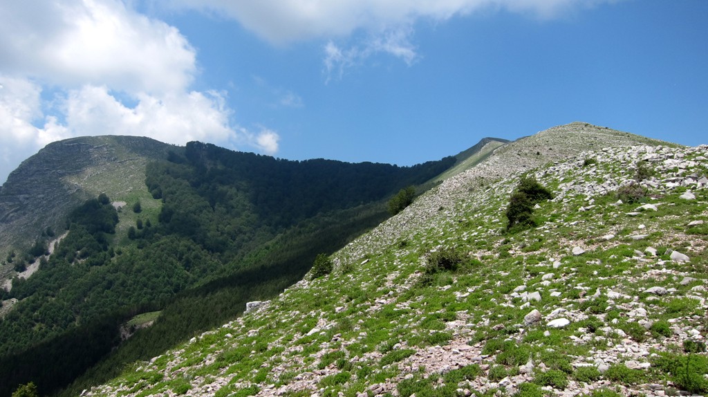
The Hike: A mule path leads up to the meadows of the south ridge of Papatit. The well visible path is exposed in places as it climbs to the ridge. Once on the ridge, follow it to the top via a few false summits. It is best to stay on the very ridgeline.
| Maximum altitude: | 1613 meter |
| Minimum altitude: | 1052 meter |
| Cumulative height: | 574 meter |
| Cumulative length: | 4.14 kilometers |
| Difficulty | moderate |
| Time: | 2 hours |
| Date of this record | June 2013 |
| Download GPS info: | Mali i Papatit |
General location and approach: From Tirana, follow the Diber (Arber) Road, past the Mother Theresa Hospital to Shkalla Tujanit (Tirana River Gorge) and on.
Other Information: There are several offroad trails connecting Tirana area to the Burrel - Klos - Bulqize axis. From north to south these are:
-
Kruja - Qafe Shtame - Burrel, with a possible variation when starting from Bovilla Lake.
-
Arber road, passing Zall - Qafa e Murizes - Guri Bardhë - Klos (this trail)
-
Dajti Mountain - Shengjergj - Bizë - Kraste - Bulqize. It is also possible to connect from Elbasan to Bizë

GPS and trailmaps: The map and
trailinformation is generated by
![]() , based
on GPS information collected from the actual hike. Waypoints
can be downloaded to a GPS device from Wikiloc. If necessary, use
GPSBabel to
convert GPS data to different formats. For more
hike descriptions by Palmtreetreeproduction, browse this
website or visit Wikiloc
and search for "Palmtreeproduction". You may also find
nearby trails from other authors.
, based
on GPS information collected from the actual hike. Waypoints
can be downloaded to a GPS device from Wikiloc. If necessary, use
GPSBabel to
convert GPS data to different formats. For more
hike descriptions by Palmtreetreeproduction, browse this
website or visit Wikiloc
and search for "Palmtreeproduction". You may also find
nearby trails from other authors.
Google Earth: You may also view the trail in 3D by clicking "view in Google Earth" when on Wikiloc. You need to have Google Earth installed on your computer.