PALM TREE PRODUCTIONS
back to Albania site back to hikes and climbs back to Locations and Travel
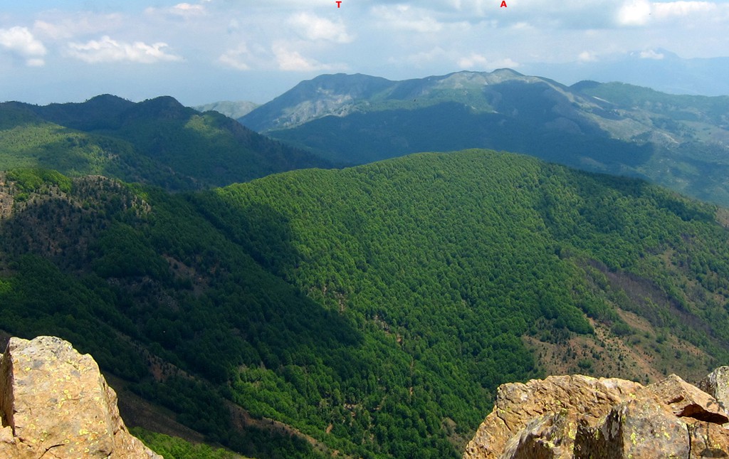
Arithit and Tolla![]()
![]()
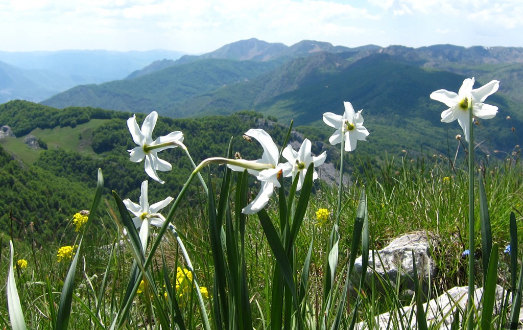
Summary: Mali i Arithit and Tolla do not just have a name that is easy to remember; a hike to both summits provides indeed for a memorable outing.
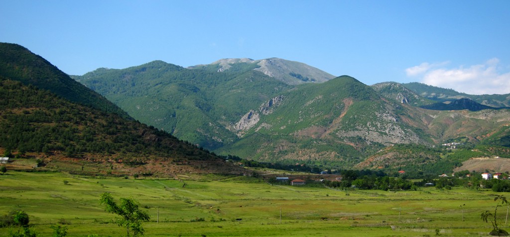
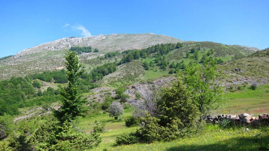
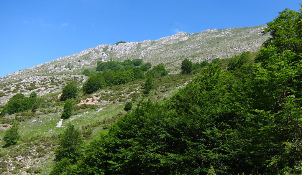
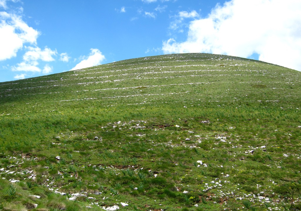
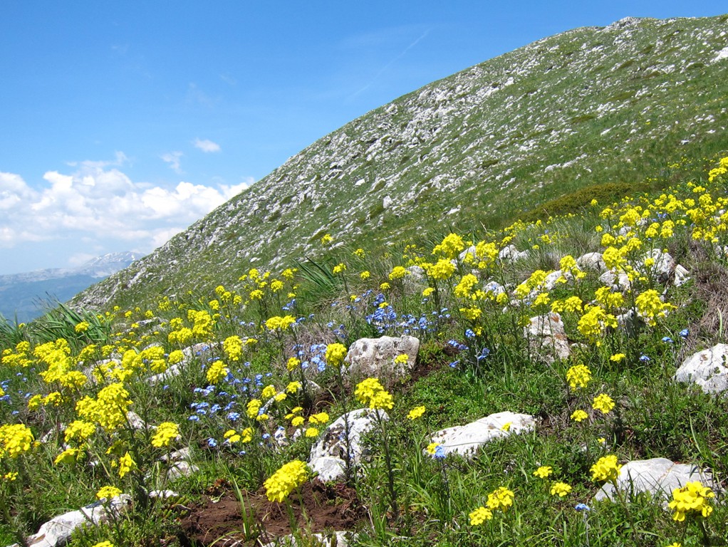
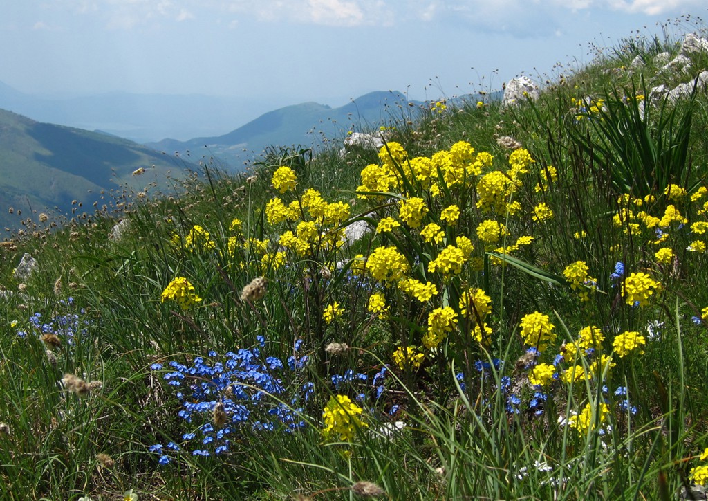
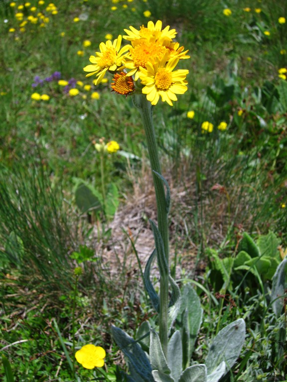
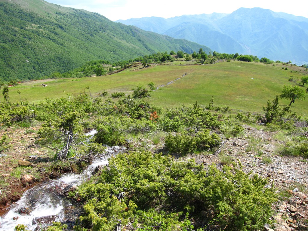
With just under the 2000 meters mark, at 1986 and 1976 meters respectively, they may not immediately attract attention. But Arithit (also called Mali i Bardhe, or the white mountain) and Tolla (also called Guri i Bylbylit) are of the white, karstic, limestone formation that contrasts much which the nearby red rock of the Micekut Mountains near Bulquize. Add to this the carefully kept grazing areas and – in springtime - the gurgling waters, meticulously maintained water channels and flower-strewn meadows, and you have quite a different experience from the wilderness of the Micekut Mountains.
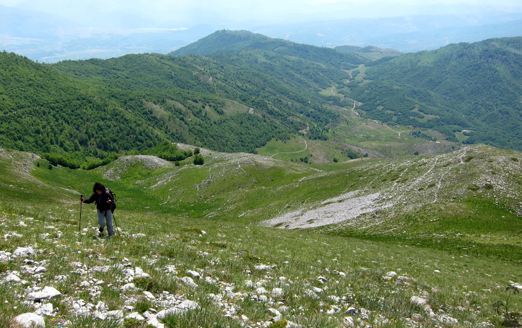
It should be possible to walk to Arithit and on to Tolla from the village of Dushaj. Having climbed Maja e Kreshtes the day before, we opted to drive onward to one of the stans higher up, at an altitude of 1280 meters. This allowed us to comfortably hike Arithit and continue to Tolla without overstretching ourselves.
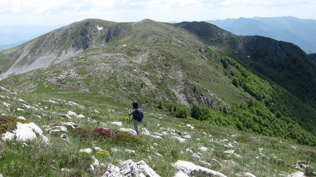
The summit of Arithit is hidden behind a false summit for most of the hike. Tolla has three nearby highpoints, of which the middle appears to be the actual summit. The hike from Arithit to Tolla (or back) takes about 50 minutes.
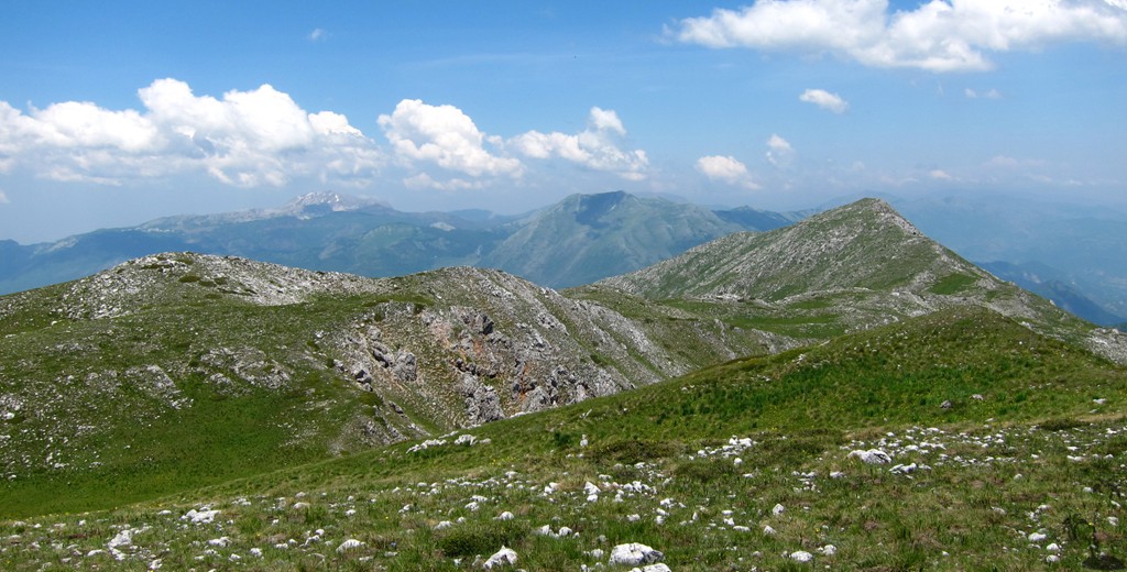
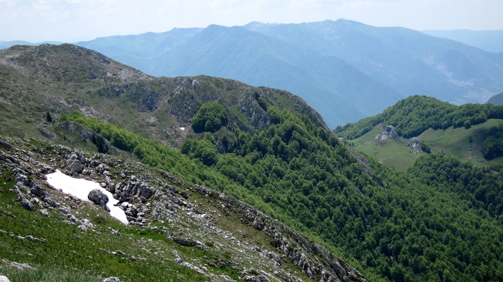
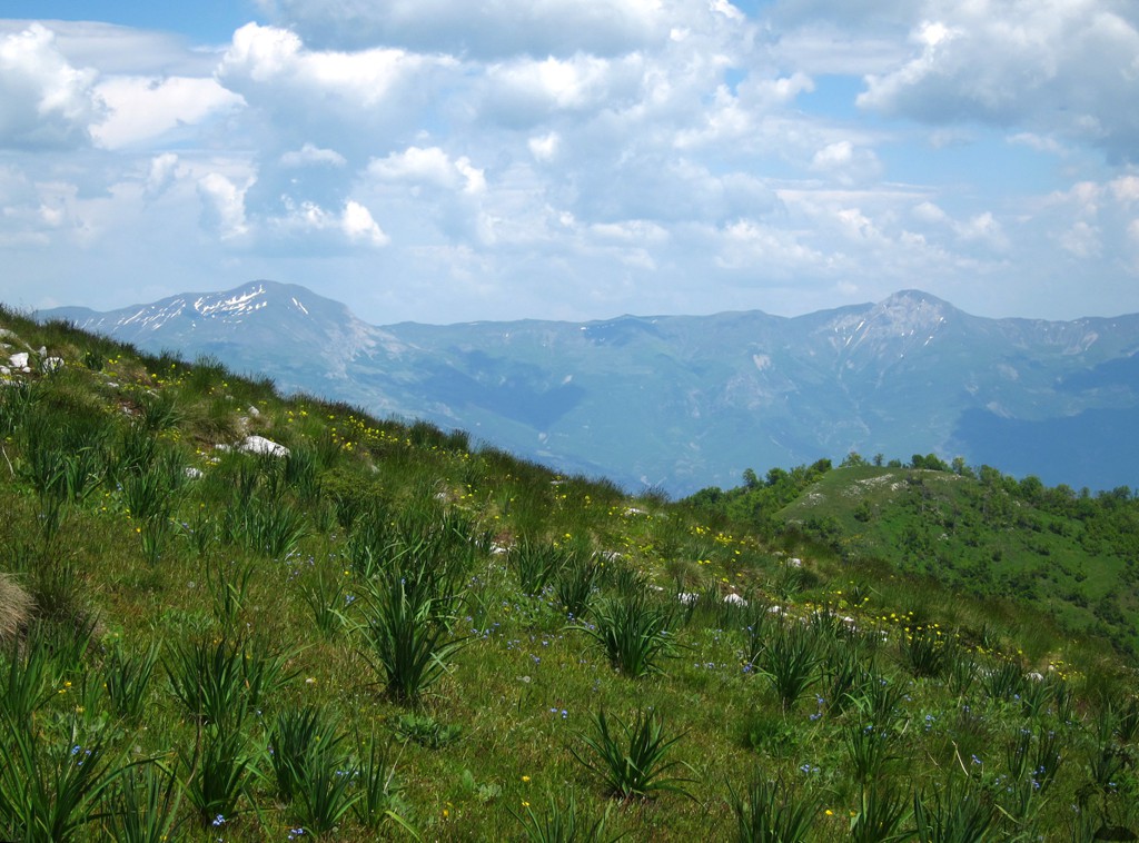
Arithit and Tolla provide a balcony from which to admire the Korab range, including Velivar and Krchin, to Diber in Macedonia, the Jabllanica range and Shebenik, the Micekut Mountains and Mali i Dejes.
| Maximum altitude: | 1986 meters | ||||||||||||||||||||||
| Minimum altitude: | 1274 meter | ||||||||||||||||||||||
| Cumulative height: | 893 meter | ||||||||||||||||||||||
| Cumulative length: | 10.6 kilometer roundtrip | ||||||||||||||||||||||
Difficulty
| moderate |
Time:
|
6.5 hours |
Date of this record |
June 2014 |
Download GPS info: |
Arithit and Tolla |
|
| |
|
|
|
|
|
|
|
|
|
|
|
|
|
|
Drive to trailhead: The drive to the trailhead is not difficult to find. A high clearance vehicle is definitely needed. The trail is generally easy, but has some tricky spots.
| Maximum altitude: | 1387 meter | ||||||||||||||||||||||
| Minimum altitude: | 664 meter | ||||||||||||||||||||||
| Cumulative height: | 725 meter | ||||||||||||||||||||||
| Cumulative length: | 12.5 kilometer | ||||||||||||||||||||||
Difficulty
| moderate |
Time:
|
50 minutes |
Date of this record |
June 2014 |
Download GPS info: |
Trailhead Arithit |
|
| |
|
|
|
|
|
|
|
|
|
|
|
|
|
|
General location and approach: Near Bulquize
Other Information: Accomodation is available in Bulquize (Shtepia Bardhë)
Google Earth: You may also view the trail in 3D by clicking "view in Google Earth" when on Wikiloc. You need to have Google Earth installed on your computer.