PALM TREE PRODUCTIONS
back to Albania site back to hikes and climbs back to Locations and Travel
Maja e Kulmakës![]()
Summary: Maja e Kulmakes is next to Tomorri (with Cuka e Partizanit being the highest, and the south summit with the mausoleum of Abbas Aliu ithe second highest point). Even though the gaze of the tourist and adventurer is automatically drawn to Tomorri, Kulmakes is almost always in view.
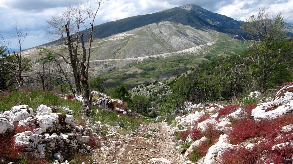
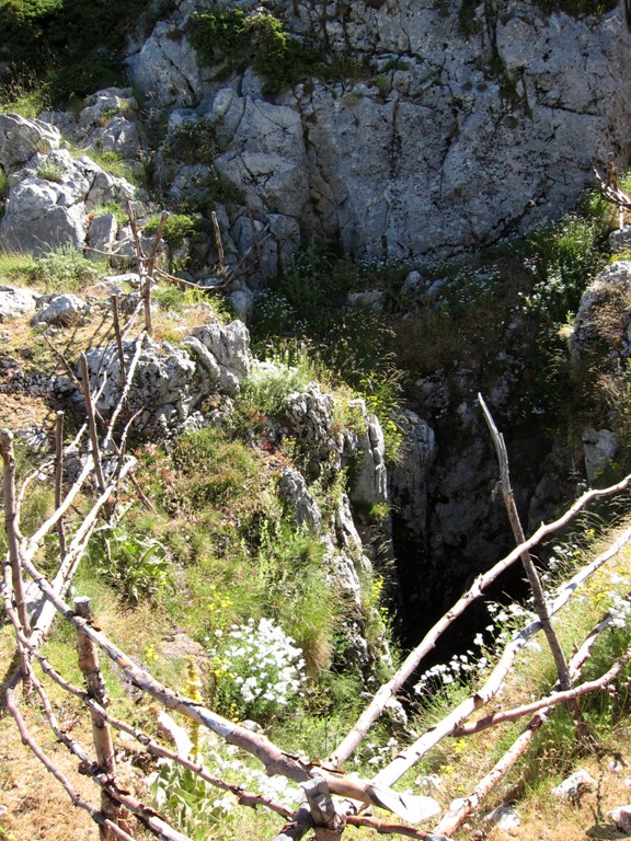
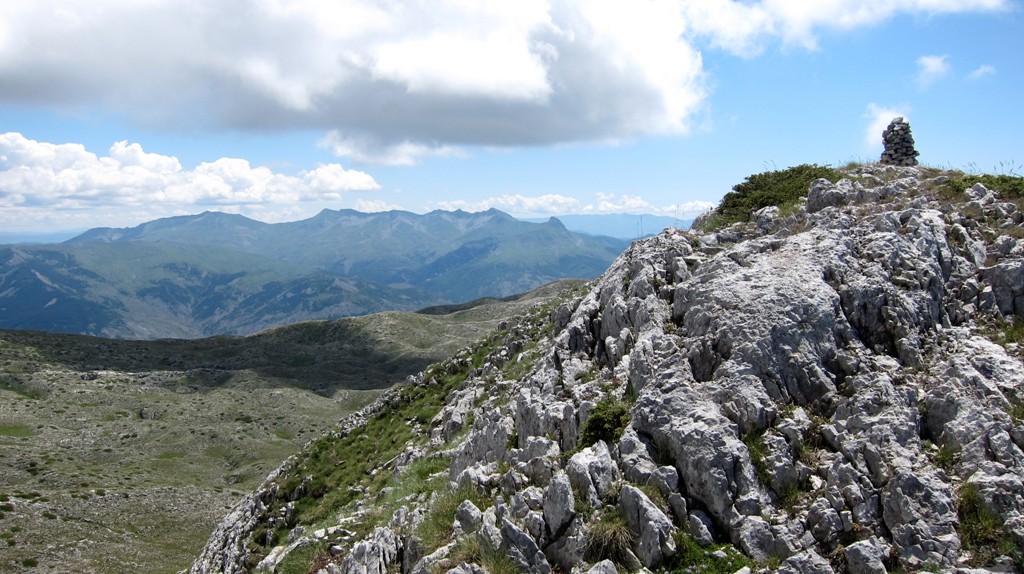
With 2179 meters altitude, it is one of the big southern mountain. Because of its many karstic holes, it keeps the snow very long into spring. A bottomless hole is near waypoint Doline.
Access is facilitated through the Tomorri mountain road. From the turn off from the Tomorri road, the road might be difficult under unfavorable conditions. In this case, walk from the turn-off.
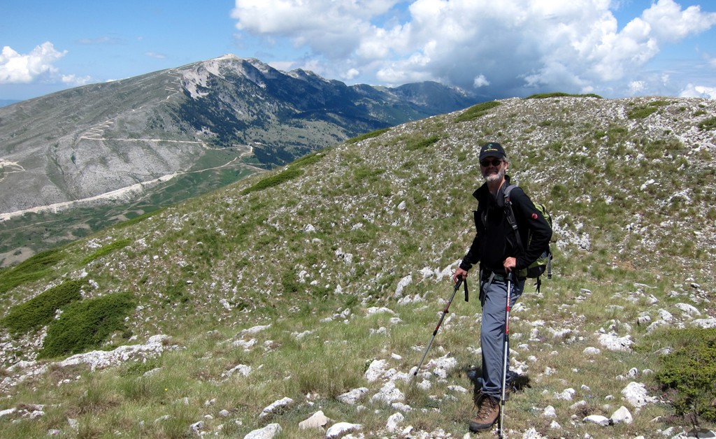
For most of the hike, the real summit is not in view. The summit of Kulmake can only be seen from the summit ridge. In contrast, the south summit of Tomorri is in full view most of the time.
From the top of Kulmakes, views in all directions abound. Mali i Ostrovices appears particularly close, with a rare view of its northern side. Going clockwise, one can see Gramos, Nemercke (Papingut), Cajupi, Dhembel, Strakovecit, Trebeshines, Shendelise, Kendervices, Gribes, Shpiragut, Tomorri, Bukanikut, Guri i Zi, and Valamares.
| Maximum altitude: | 2177 meters | ||||||||||||||||||||||
| Minimum altitude: | 1356 meter | ||||||||||||||||||||||
| Cumulative height: | 831 meter | ||||||||||||||||||||||
| Cumulative length: | 9.2 kilometers roundtrip | ||||||||||||||||||||||
Difficulty
| moderate |
Time:
|
6 hours |
Date of this record |
July 2014 |
Download GPS info: |
Kulmakes |
|
| |
|
|
|
|
|
|
|
|
|
|
|
|
|
|
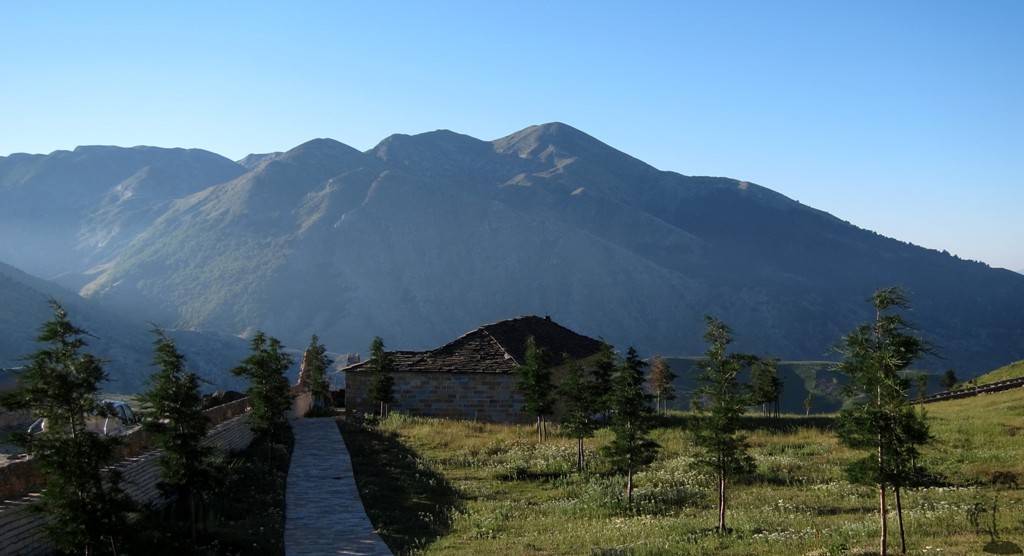
General location and approach: South of the main Tomorri massif. Approach is best via the Kulmake pass, the road leading from Polican to the summit of Tomorri.


Google Earth: You may also view the trail in 3D by clicking "view in Google Earth" when on Wikiloc. You need to have Google Earth installed on your computer.